

© Tourismusagentur Ostbelgien - Pierre-Alexandre Massotte

© Tourismusagentur Ostbelgien - Dominik Ketz

© Tourismusagentur Ostbelgien - Dominik Ketz

© Tourismusagentur Ostbelgien - Dominik Ketz

© Tourismusagentur Ostbelgien - Pierre-Alexandre Massotte

© Tourismusagentur Ostbelgien - Dominik Ketz

- Kort beskrivelse
-
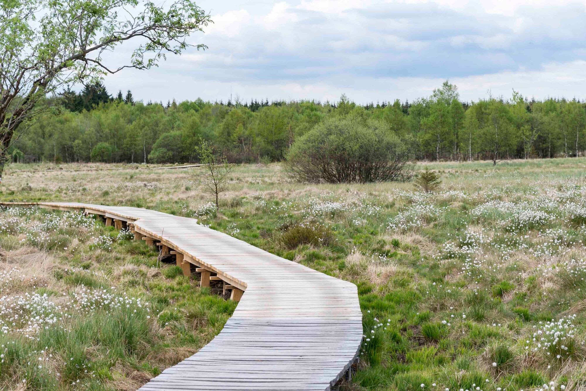
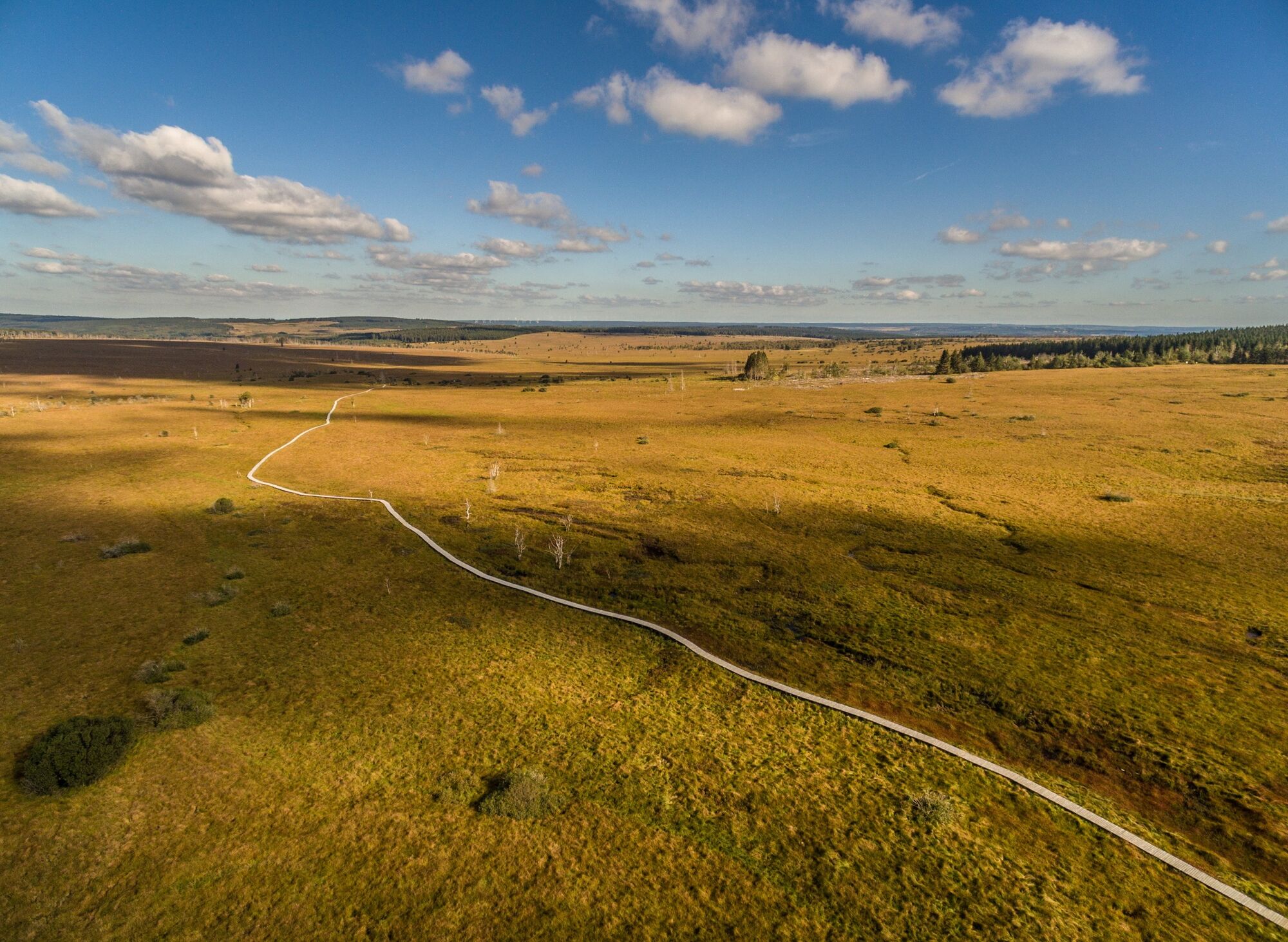
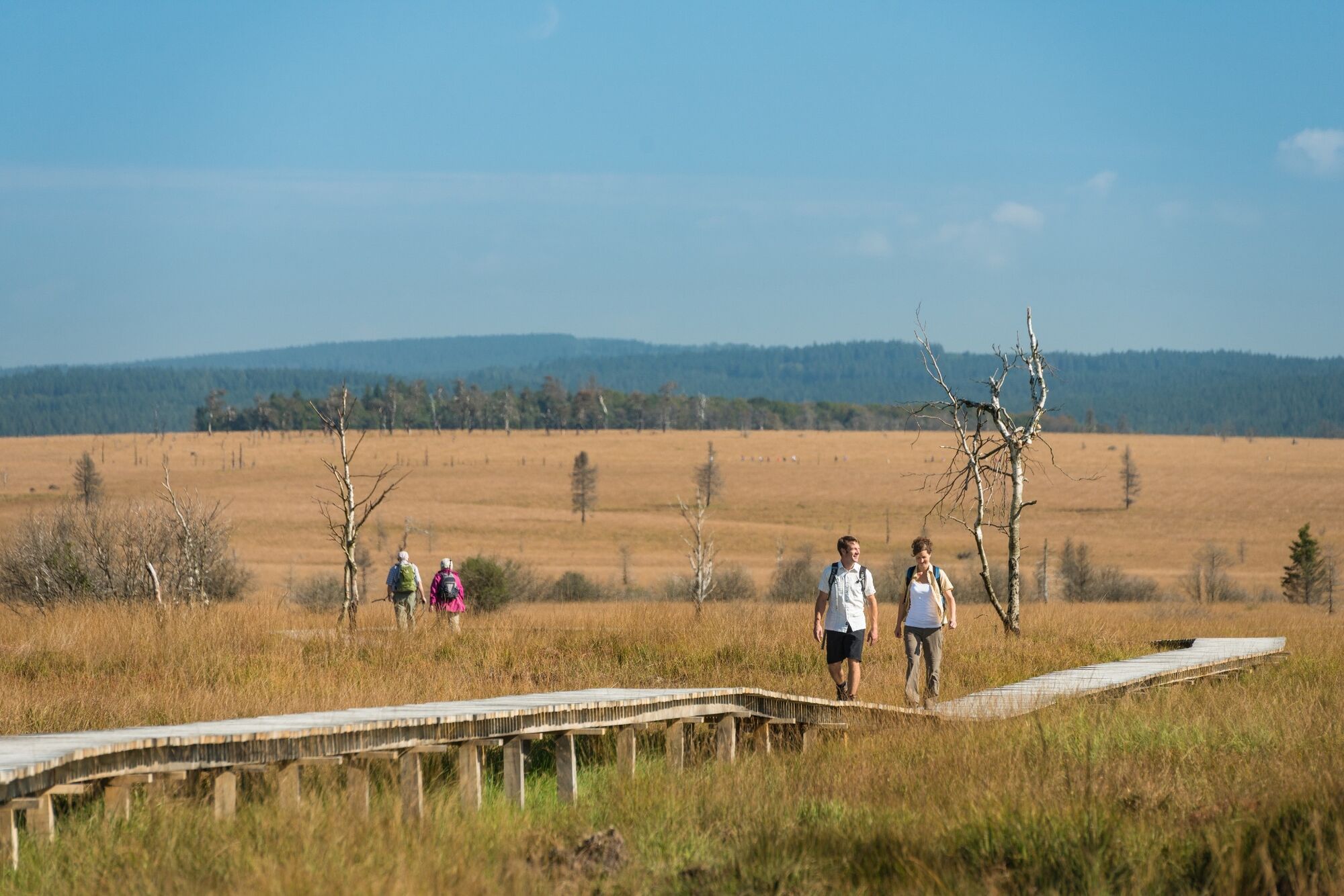
We follow the Hill through the woods of Hertogenwald, over the plateau of the High Fens to the highest point in the country.
- Sværhedsgrad
-
medium
- Evaluering
-
- Rute
-
Unterstadt0,0 kmEupen0,0 km
- Bedste sæson
-
janfebmaraprmajjunjulaugsepoktnovdec
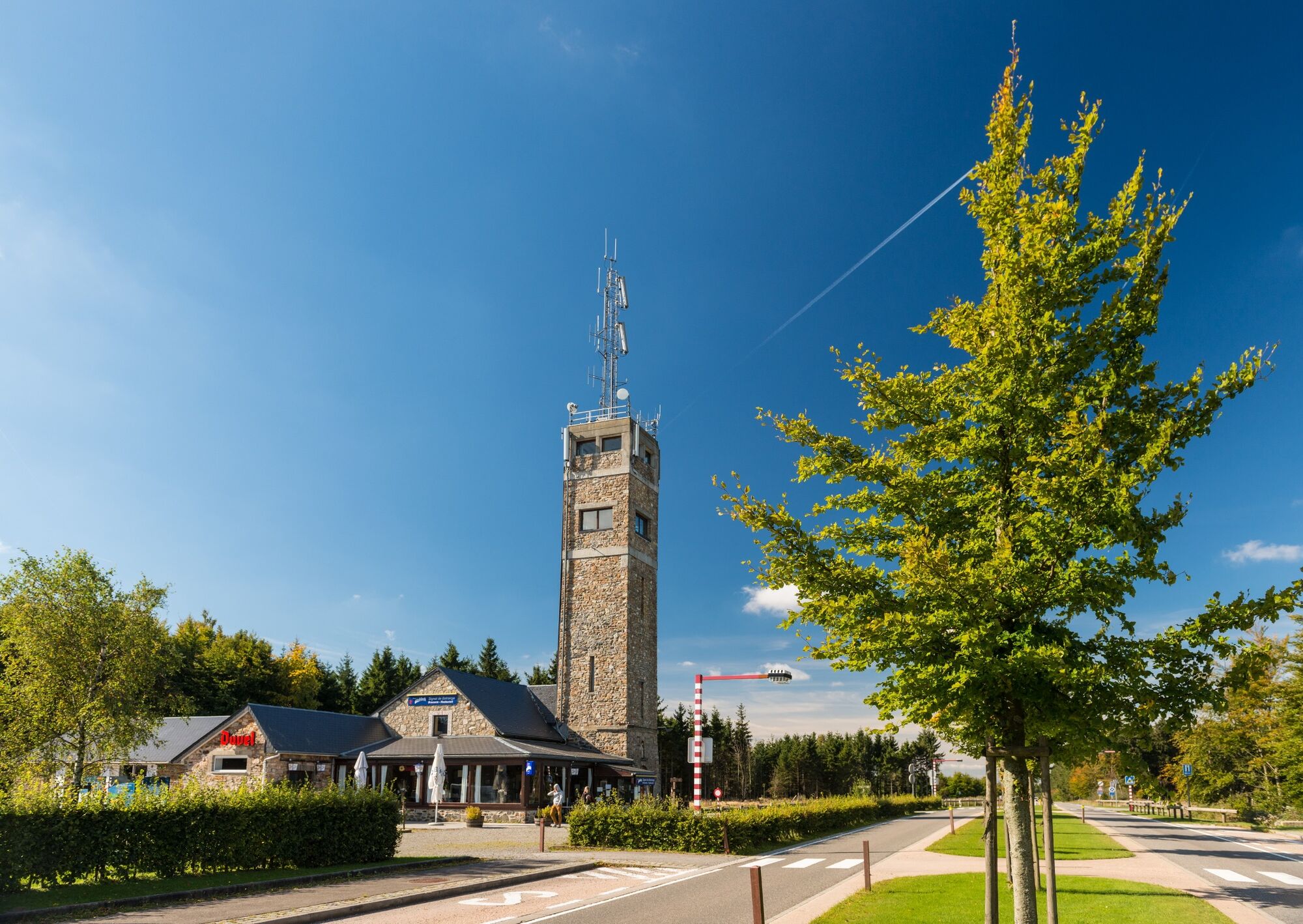
- Højeste punkt
- 659 m
- Destination
-
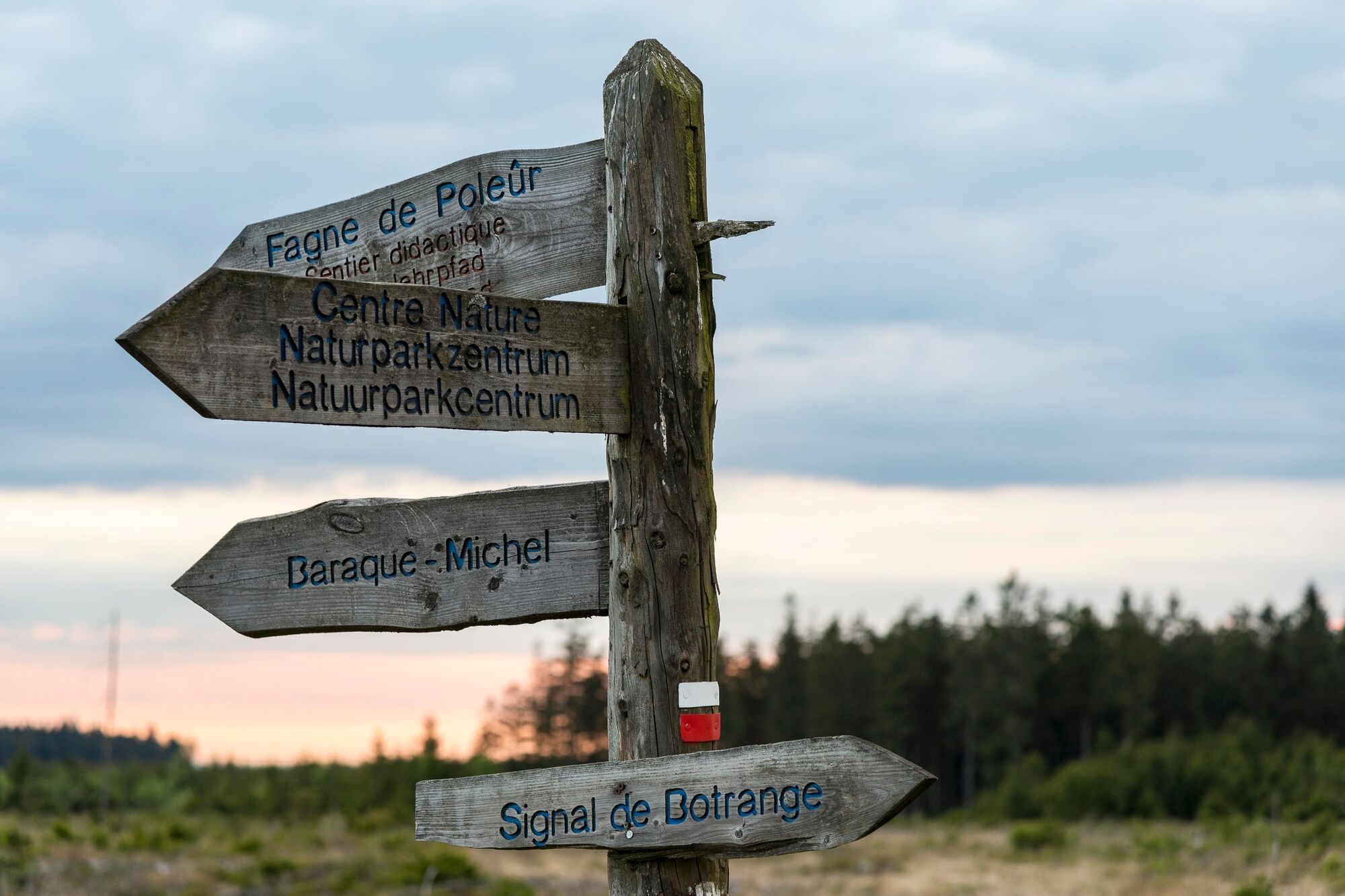
Nature Park Centre Botrange. GPS- Coordinates 50.492947,6.099772
- Højdeprofil
-
 © outdooractive.com

- Forfatter
-
Rundvisningen GR 573 - stage Eupen – Botrange bruges af outdooractive.com forudsat.
GPS Downloads


Generel information
Flora
Flere ture i regionerne
-
Hohes Venn
602
-
Eupen
108


