

© My Leukerbad AG

© Unbekannt

© Unbekannt

© My Leukerbad AG

© My Leukerbad AG

© My Leukerbad AG

- Kort beskrivelse
-
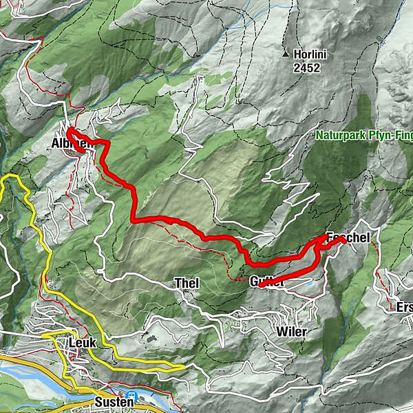
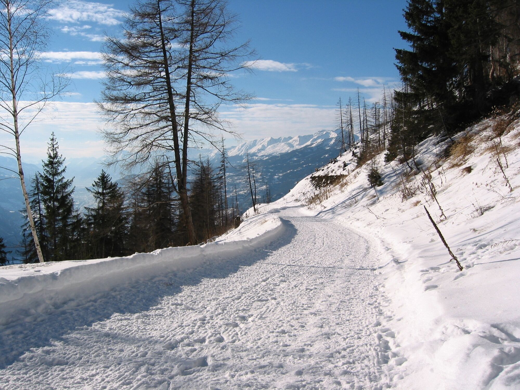
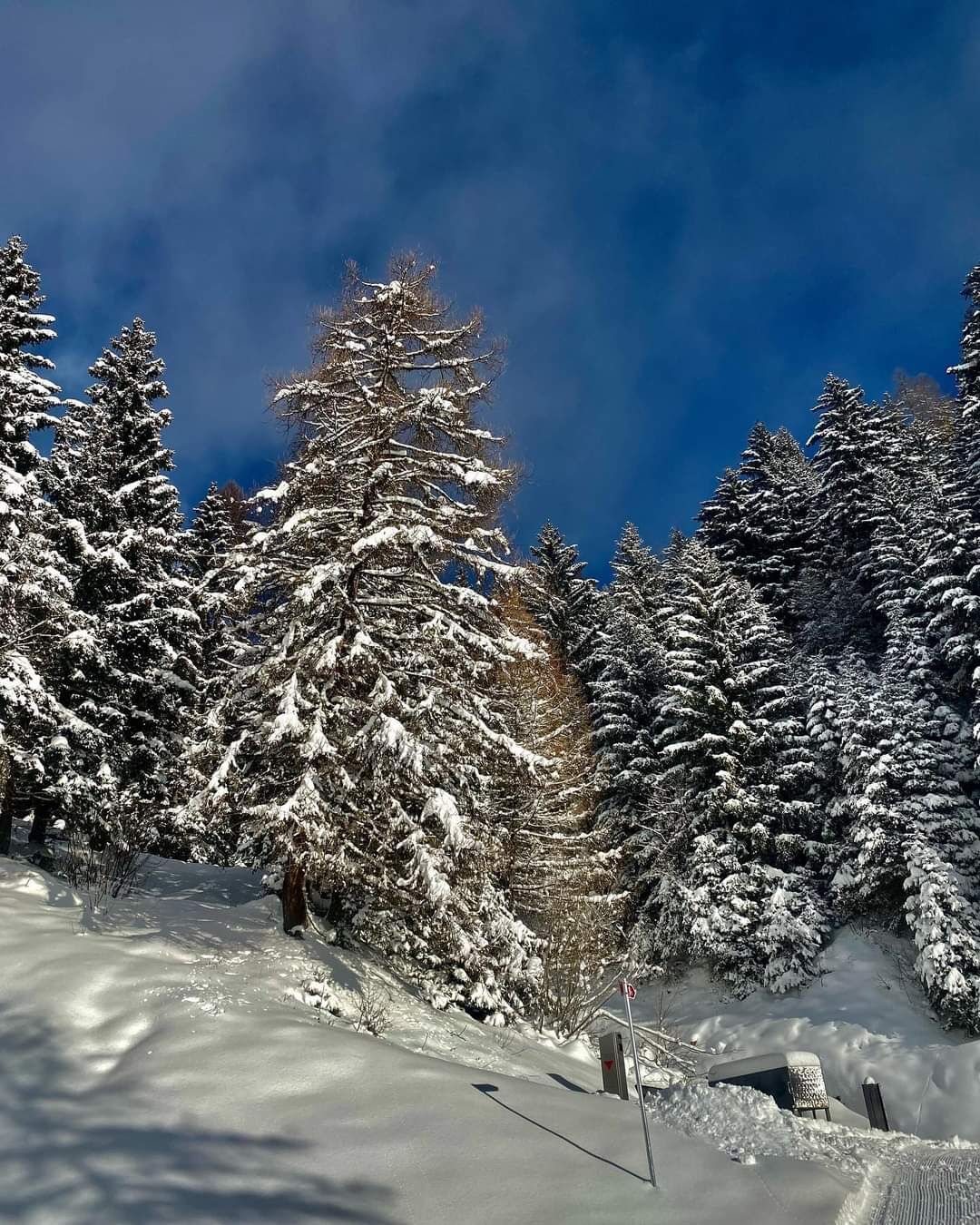
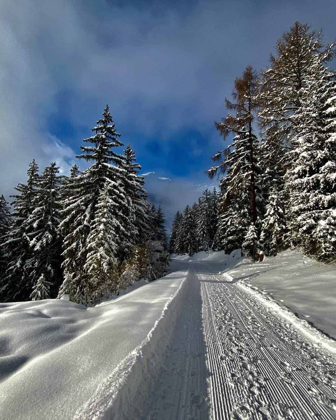
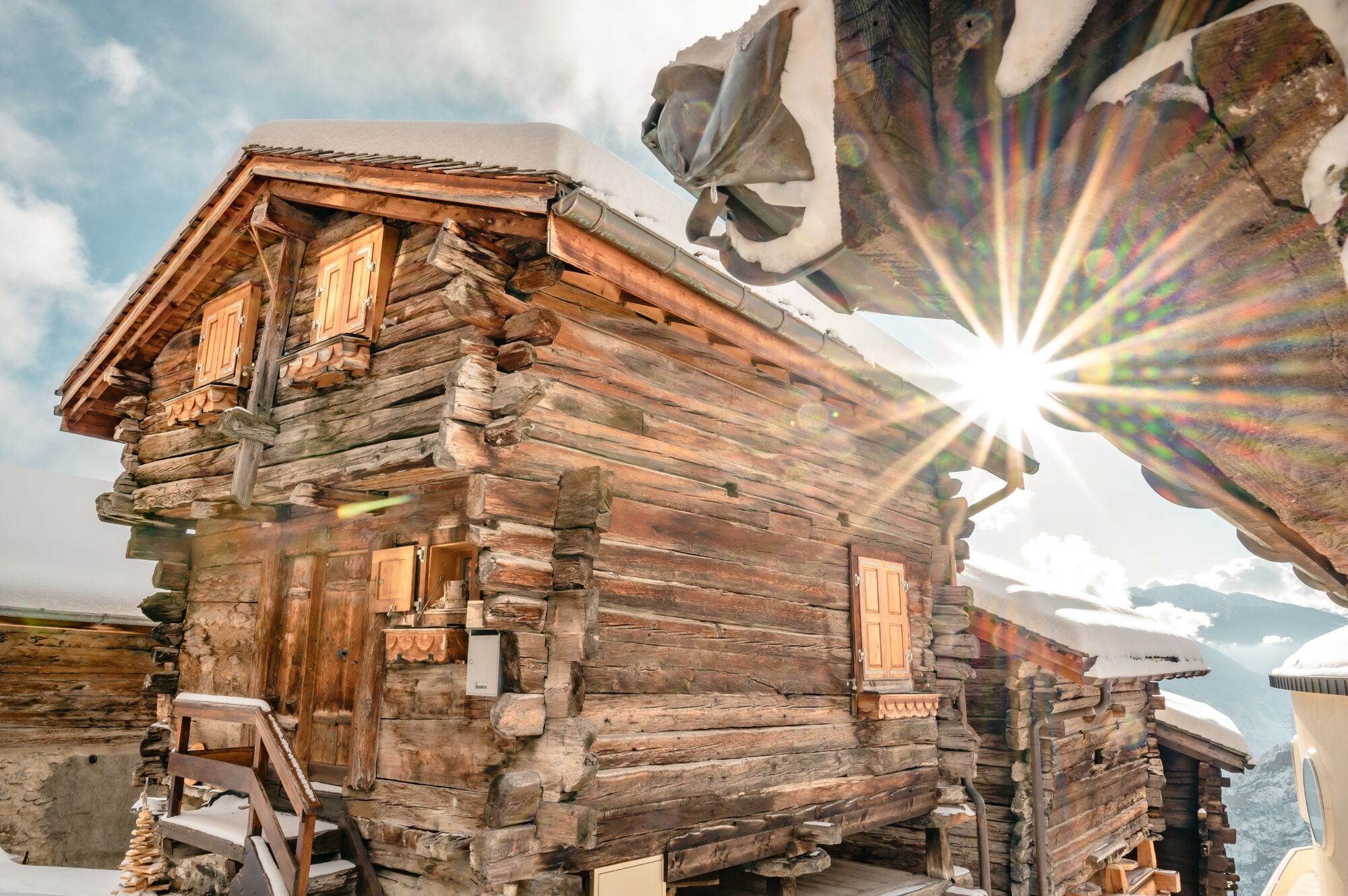
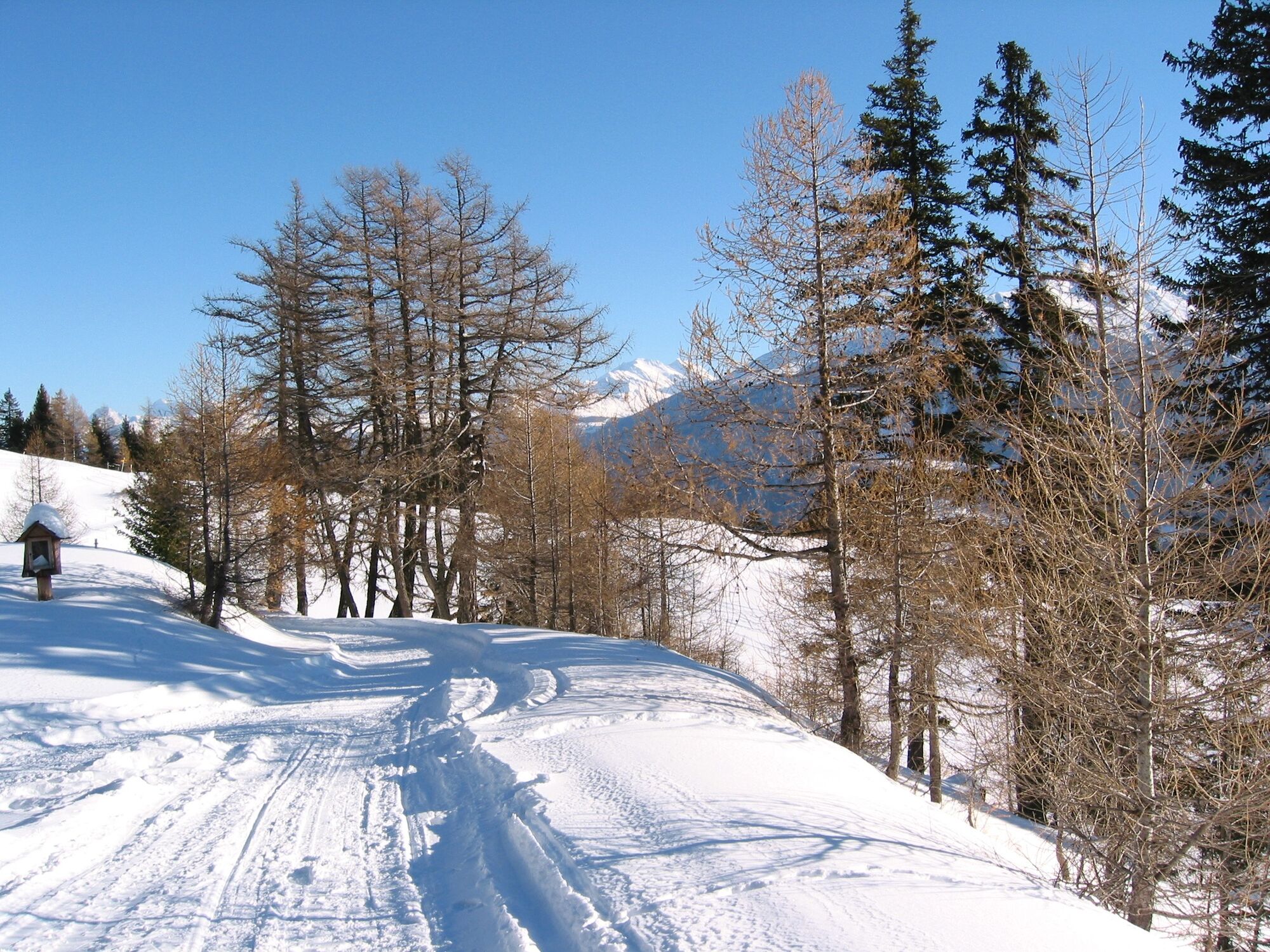
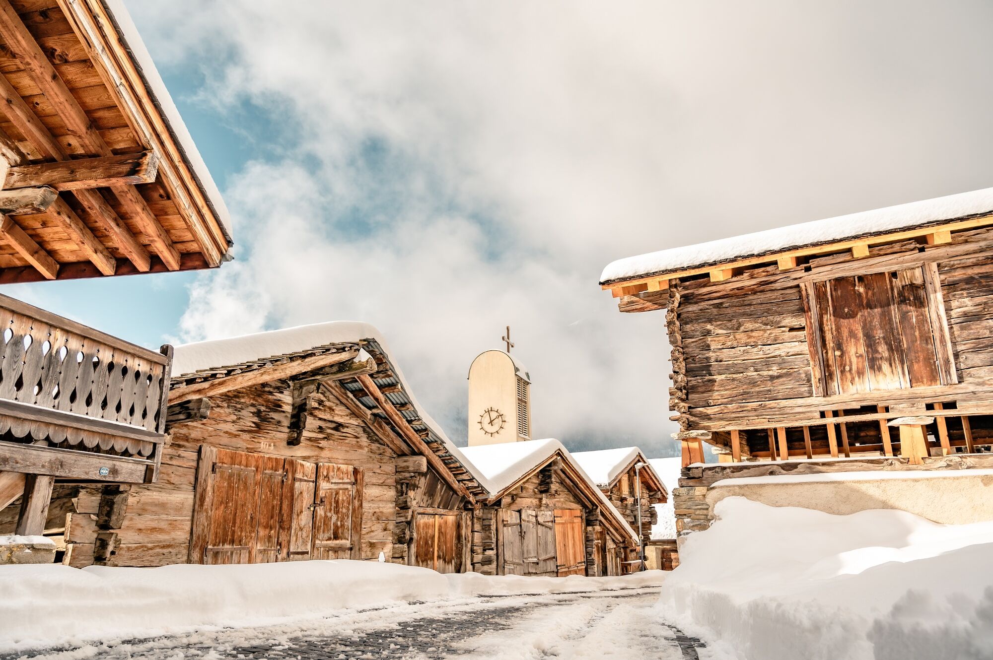
The sunny winter hiking trail connects the two rustic mountain villages of Albinen and Guttet-Feschel. The view of the Rhone Valley, the Turtmann Valley and the Valais Alps is impressive.
- Sværhedsgrad
-
medium
- Evaluering
-
- Rute
-
Sunnublick0,1 kmAlbinen (1.300 m)0,1 kmFeschel5,9 kmGuttet7,4 kmAlbinen (1.300 m)13,8 kmSunnublick13,8 km
- Bedste sæson
-
augsepoktnovdecjanfebmaraprmajjunjul
- Højeste punkt
- 1.546 m
- Destination
-
Guttet-Feschel
- Højdeprofil
-
 © outdooractive.com
- Forfatter
-
Rundvisningen Albinen - Guttet - Feschel bruges af outdooractive.com forudsat.
GPS Downloads


Generel information
Forfriskningsstop
Flora
Lovende
Flere ture i regionerne
-
Oberwallis
307
-
Leuk/Leukerbad
202
-
Albinen
43


