

© Tourenplaner SCHWEIZ - Bruno Kalbermatten

© Tourenplaner SCHWEIZ - Bruno Kalbermatten

© Tourenplaner SCHWEIZ - Bruno Kalbermatten

© Tourenplaner SCHWEIZ - Bruno Kalbermatten

© Tourenplaner SCHWEIZ - Bruno Kalbermatten

© Tourenplaner SCHWEIZ - Bruno Kalbermatten

© Tourenplaner SCHWEIZ - Bruno Kalbermatten

© Tourenplaner SCHWEIZ - Bruno Kalbermatten

© Tourenplaner SCHWEIZ - Bruno Kalbermatten

© Tourenplaner SCHWEIZ - Bruno Kalbermatten

- Kort beskrivelse
-
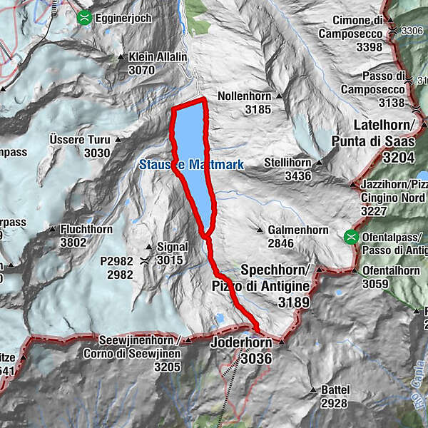
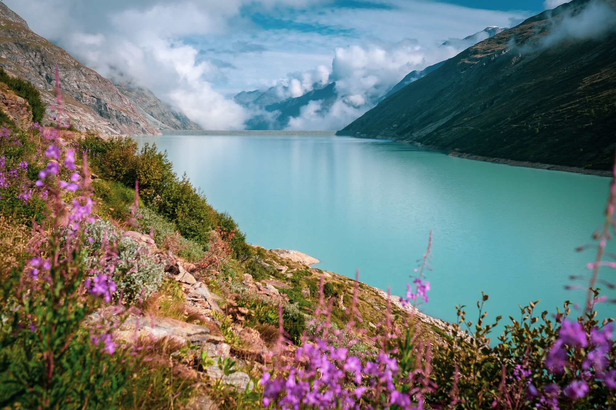
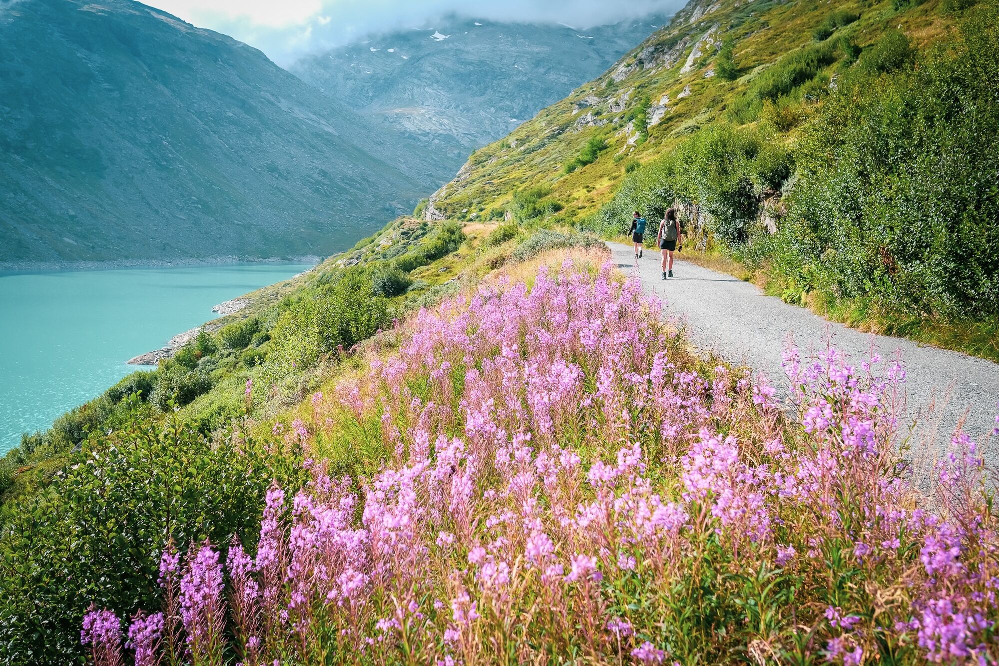
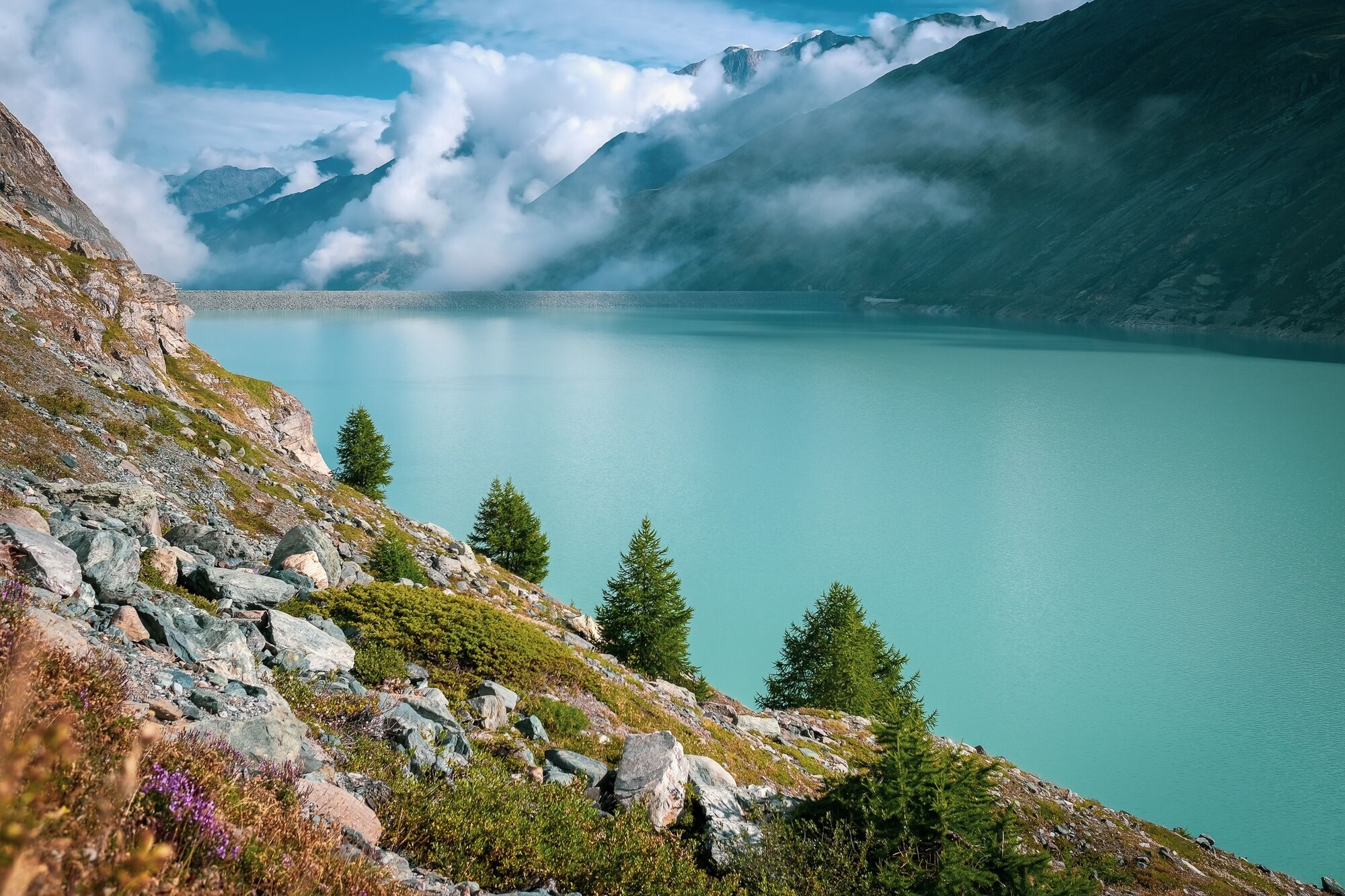
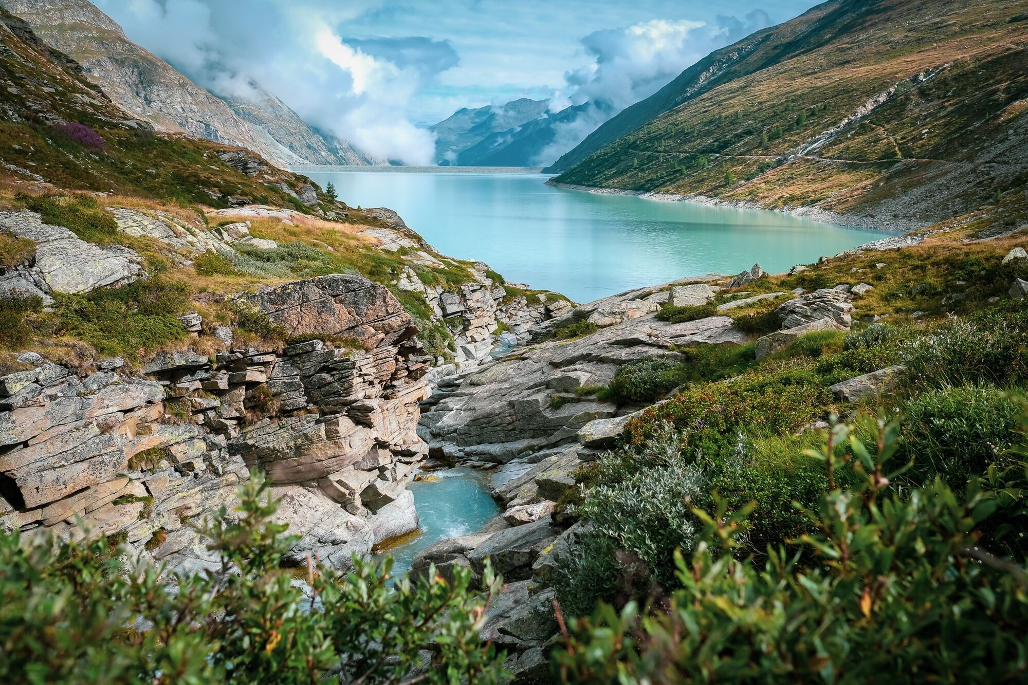
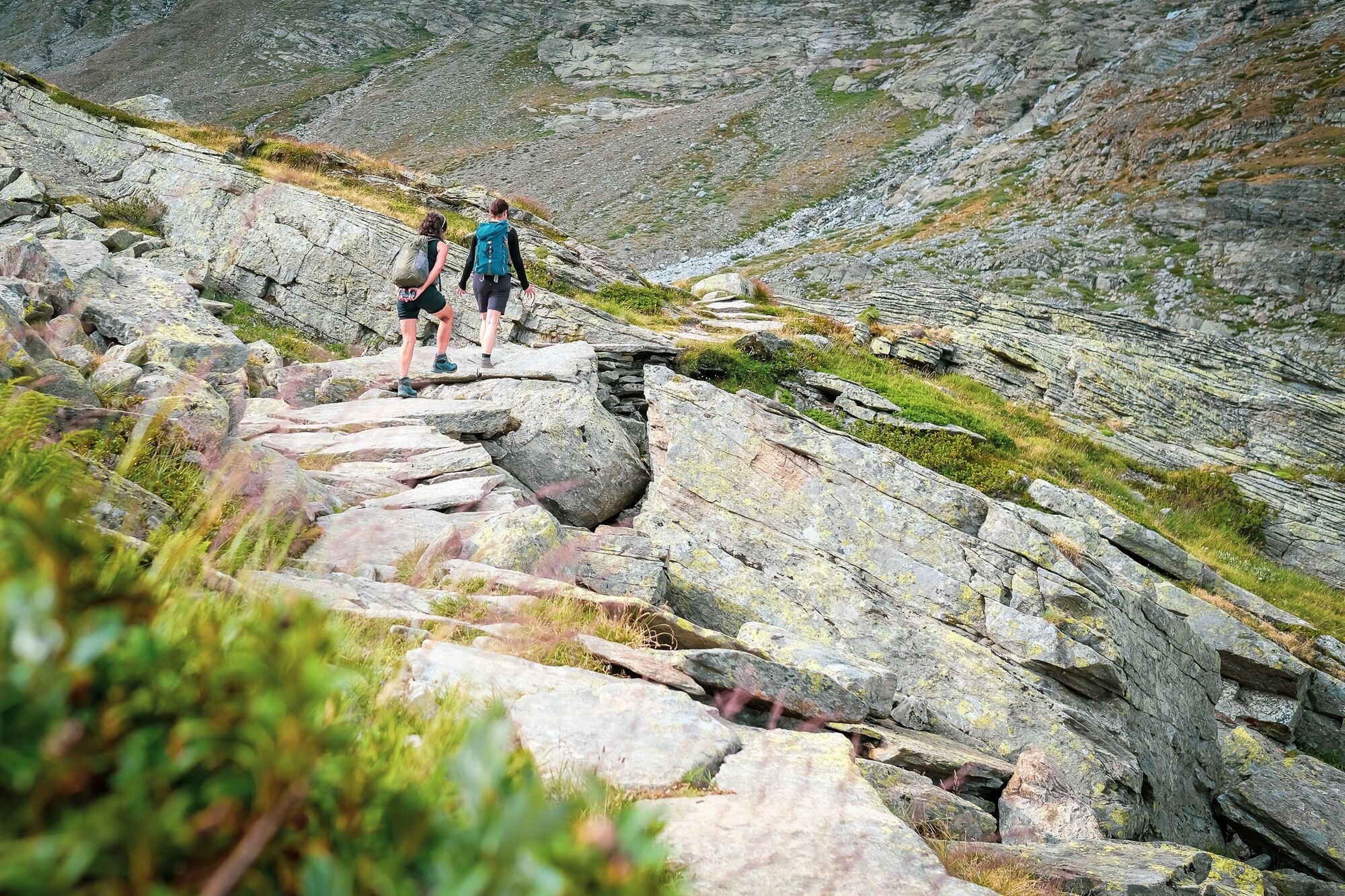
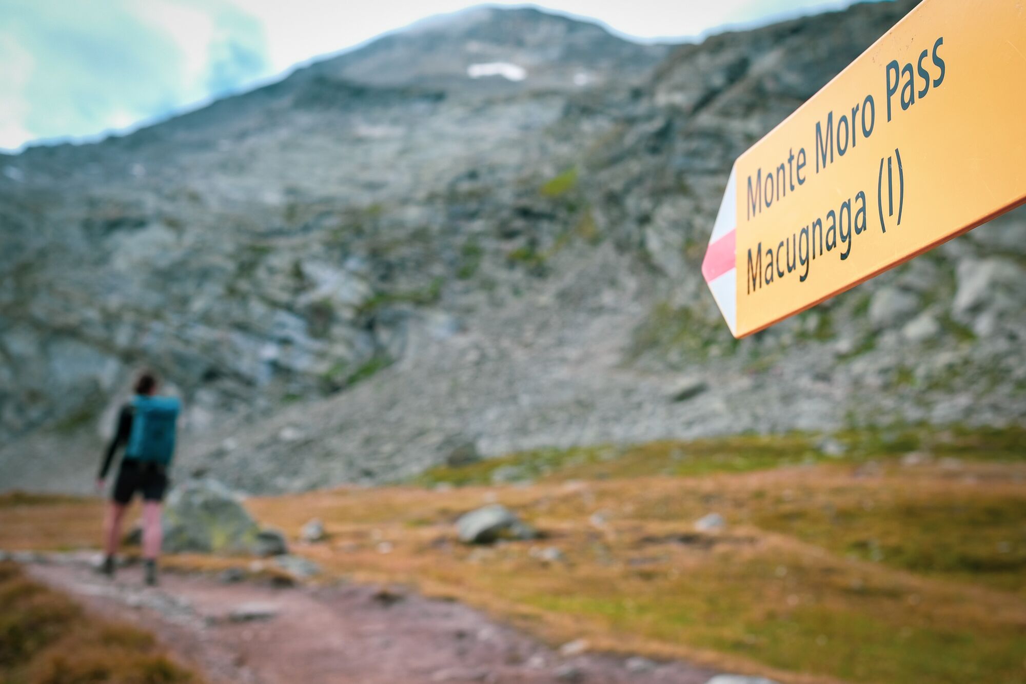
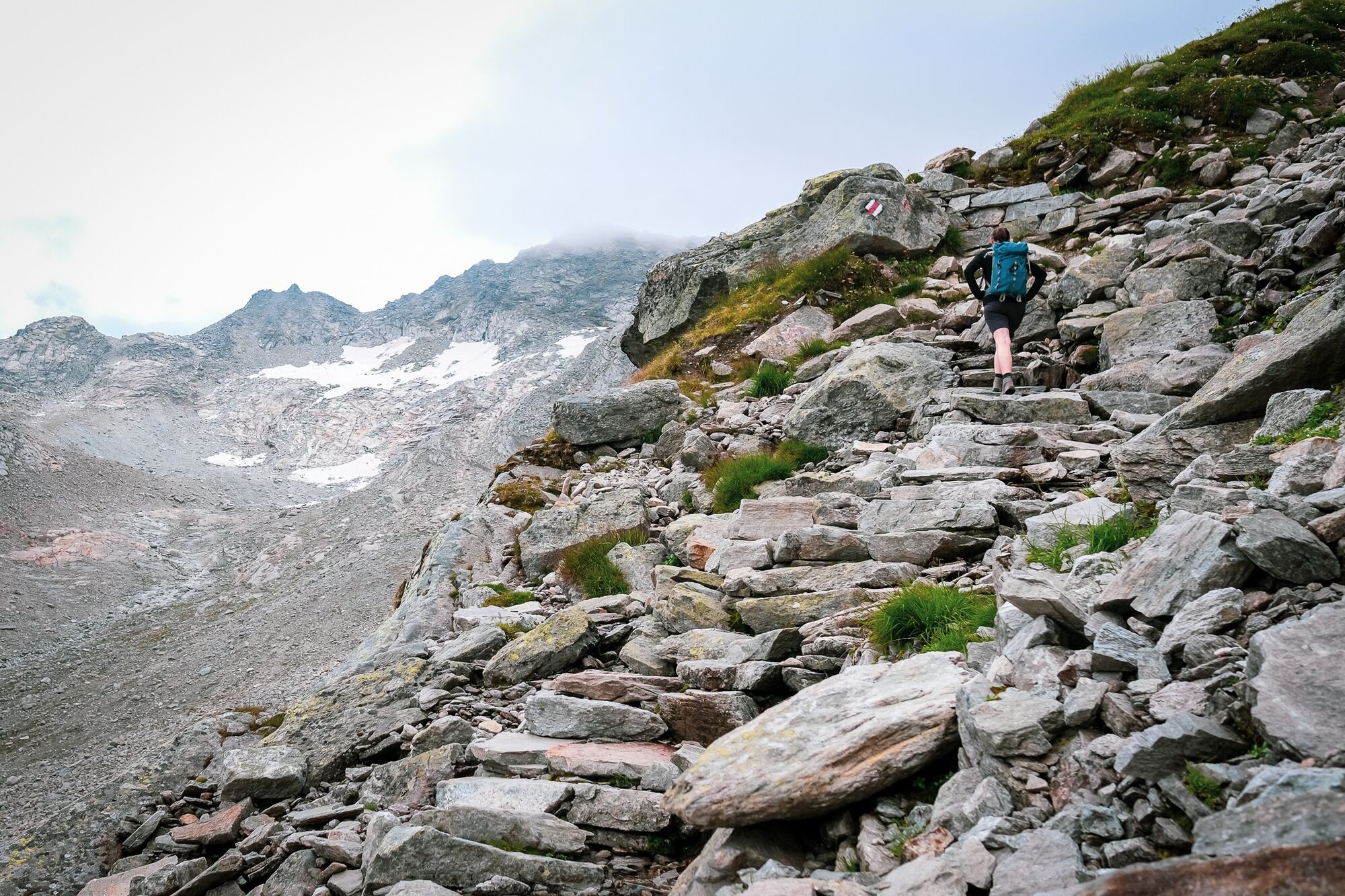
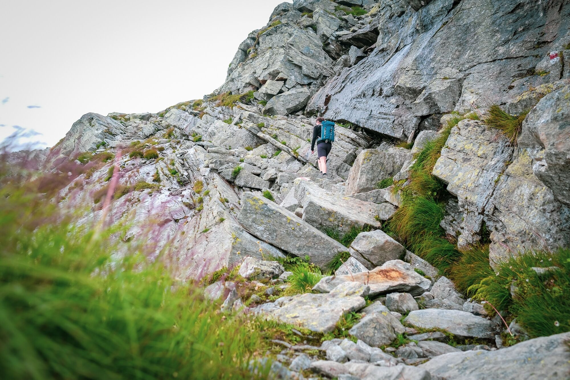
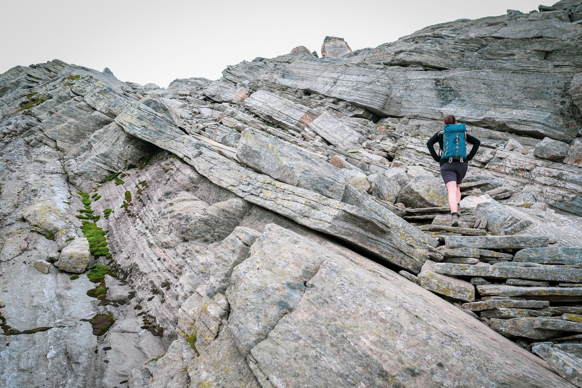
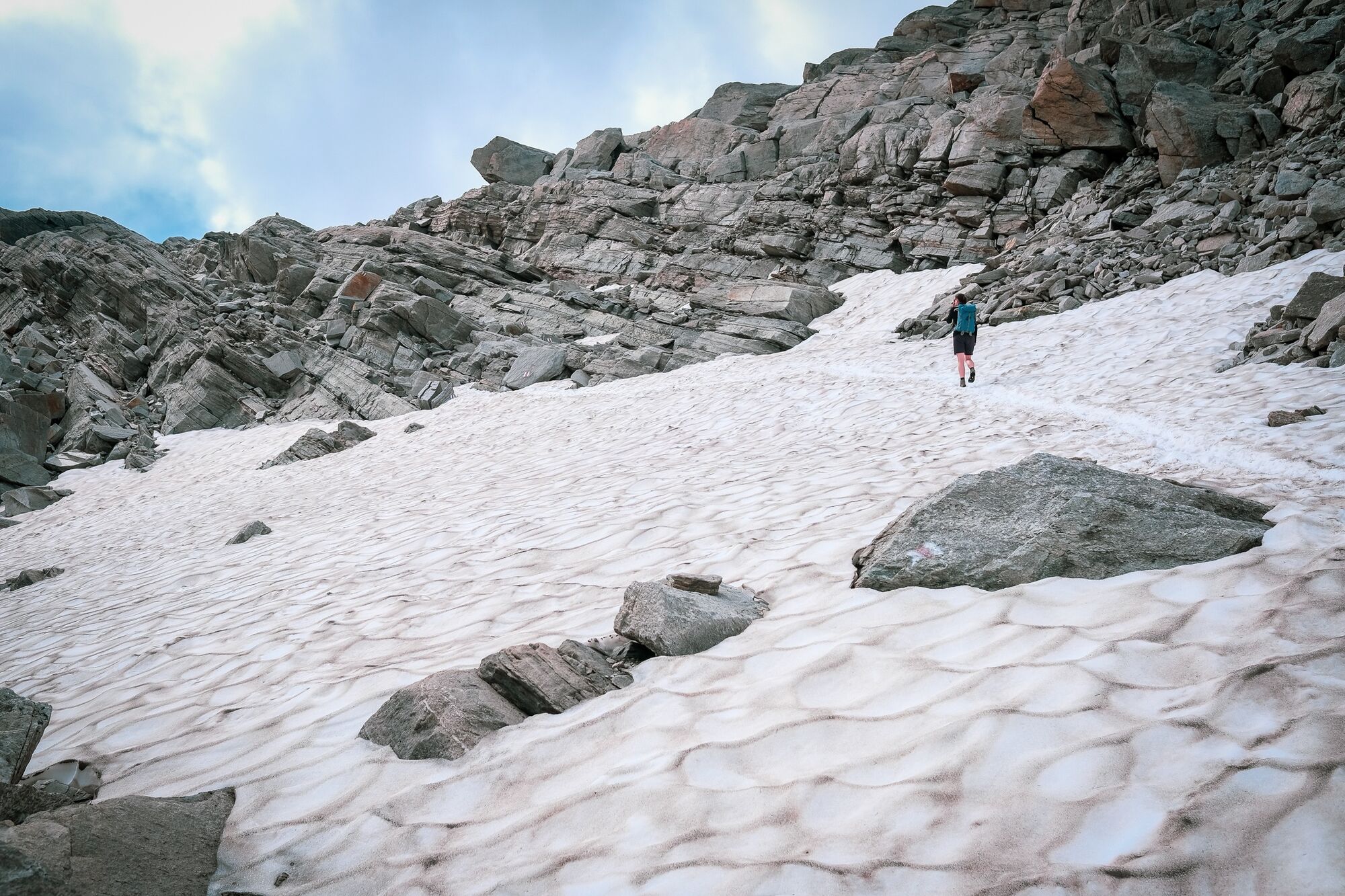
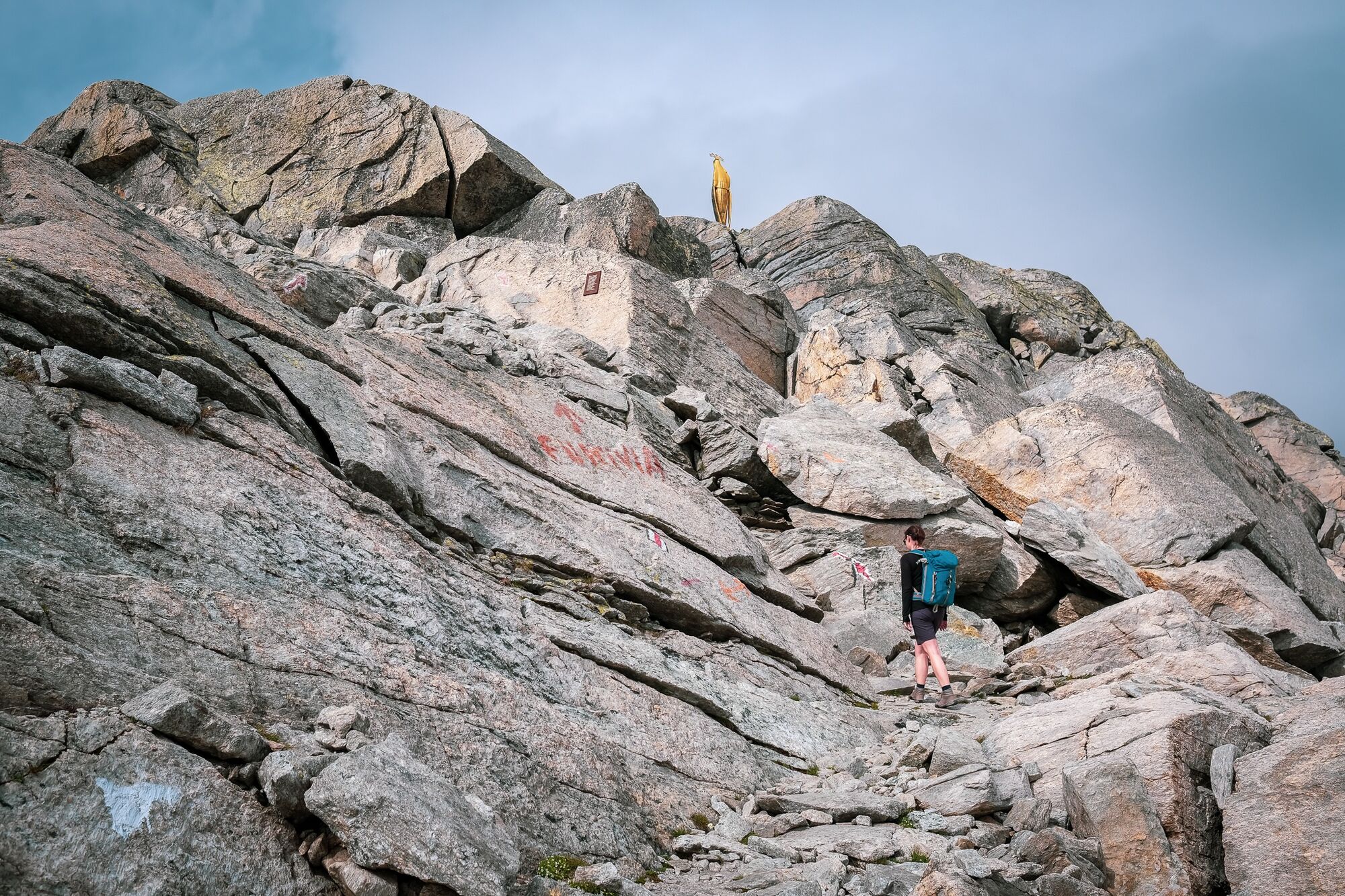
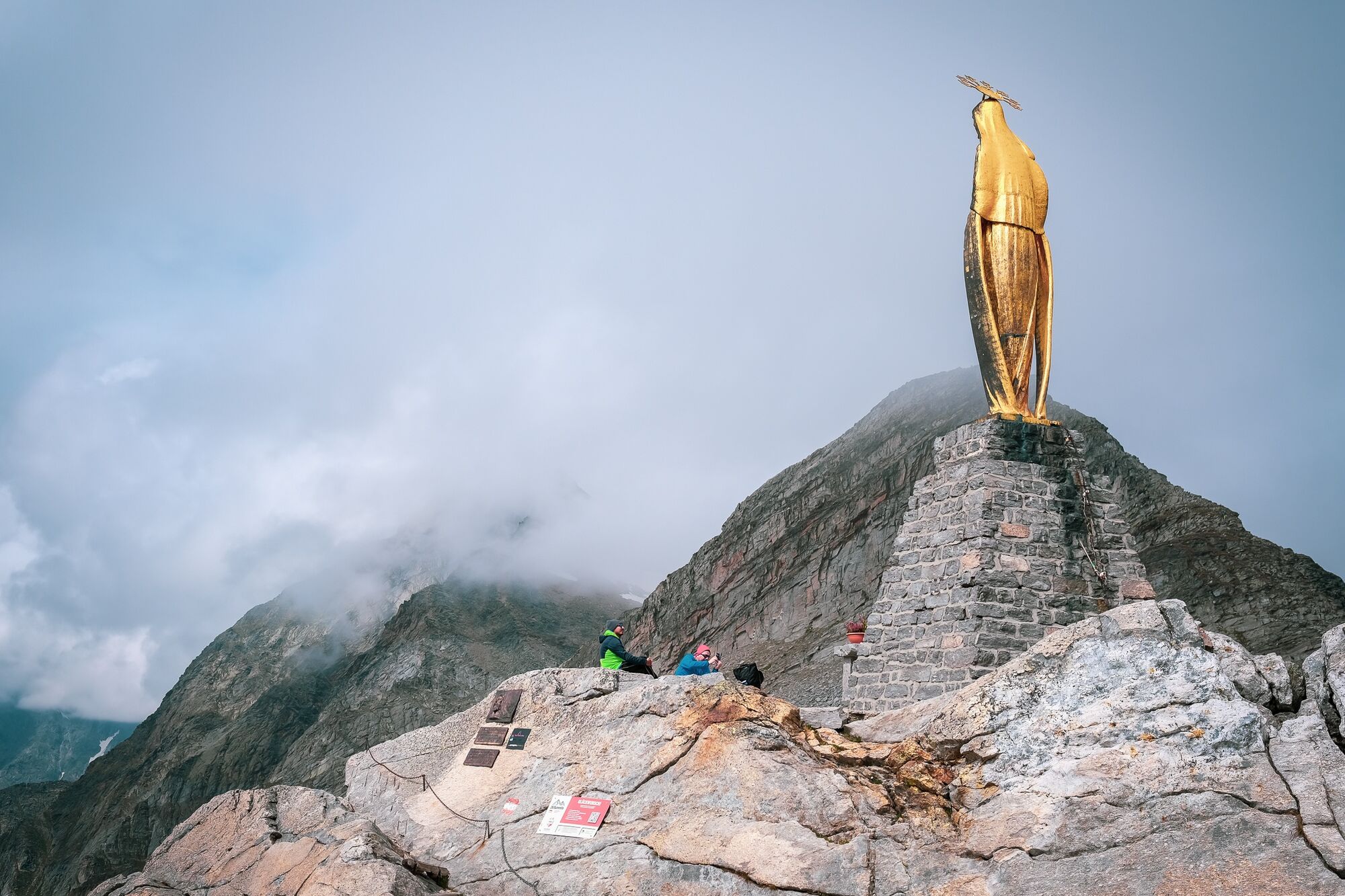
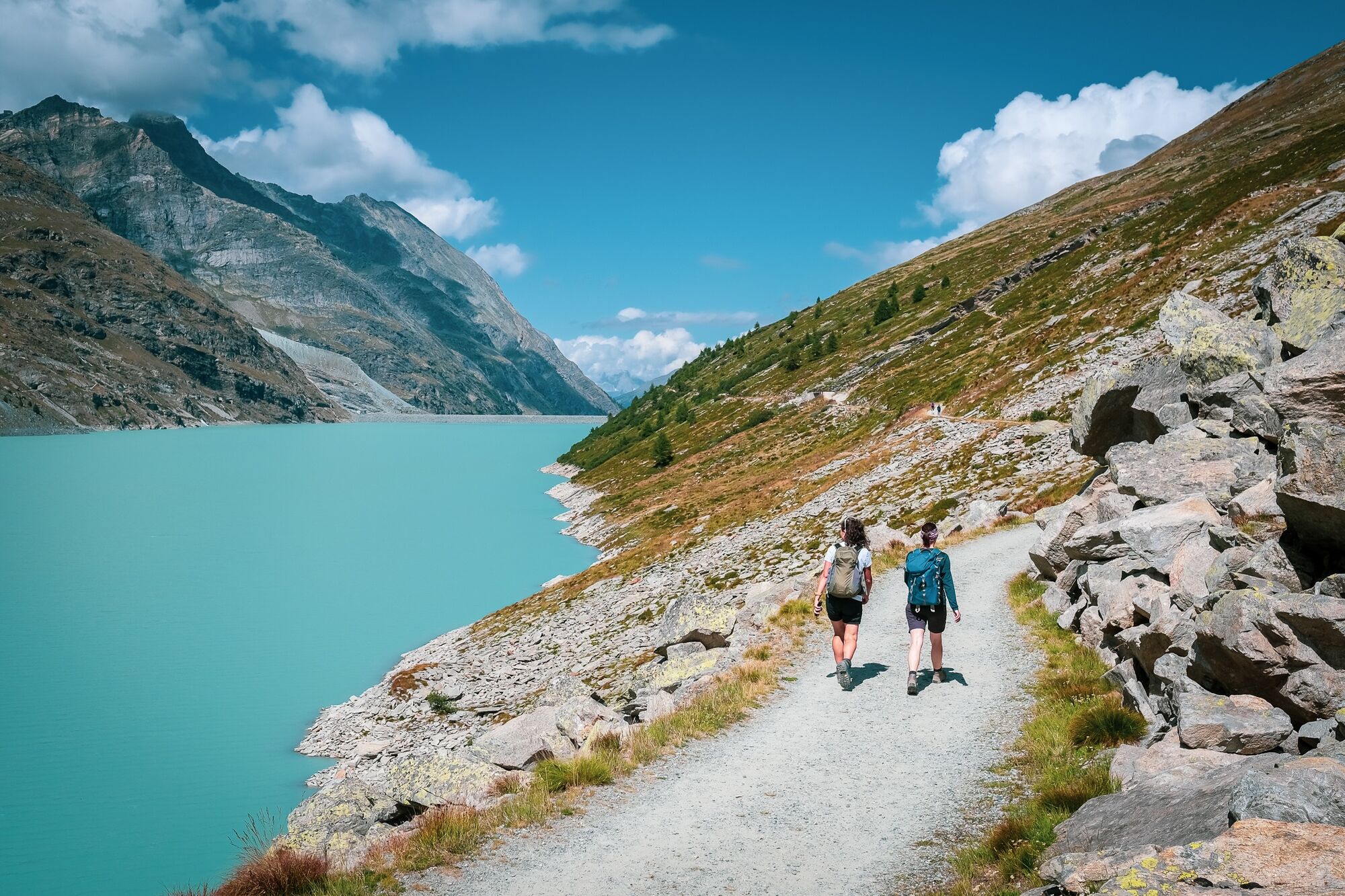
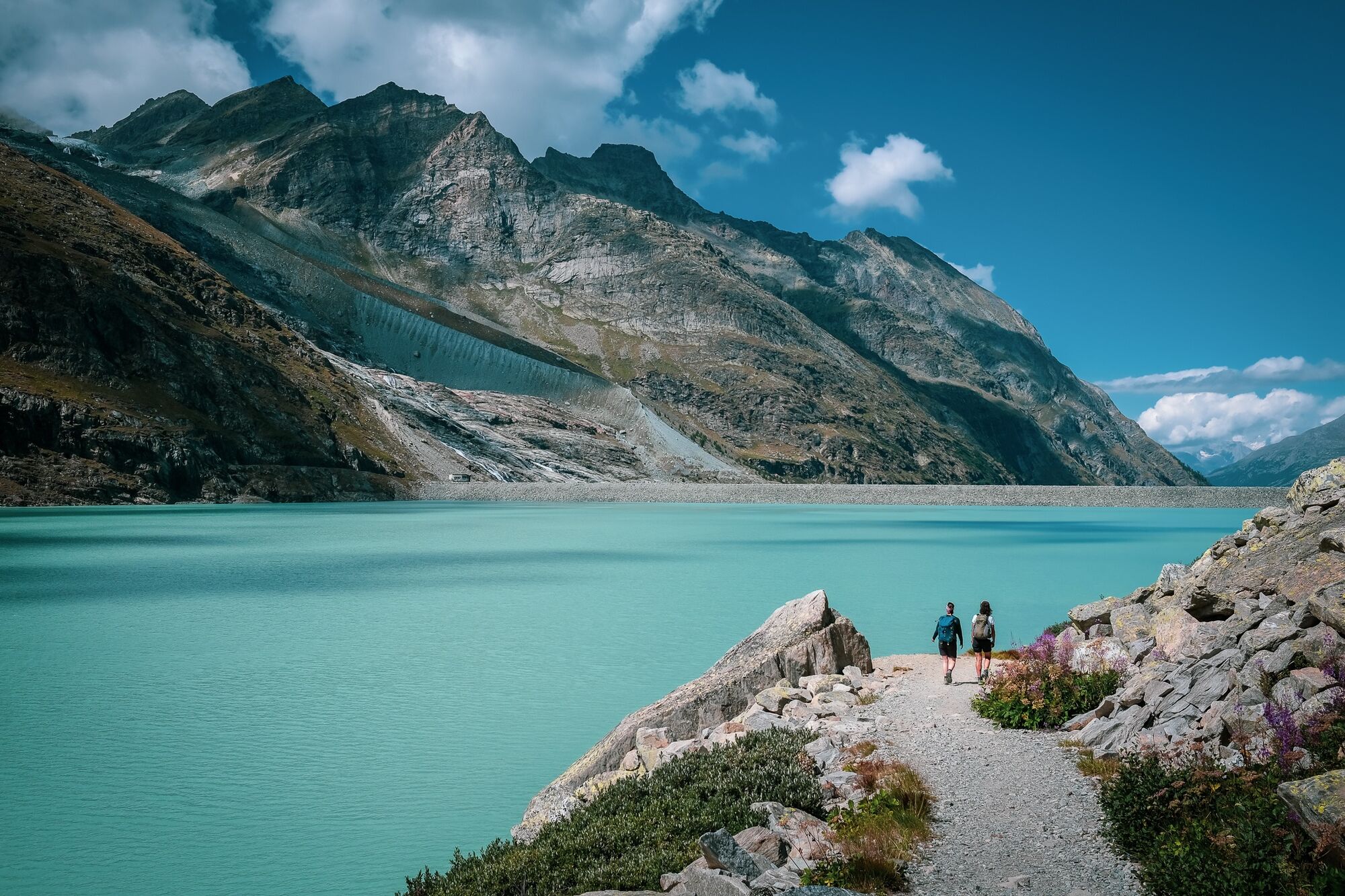
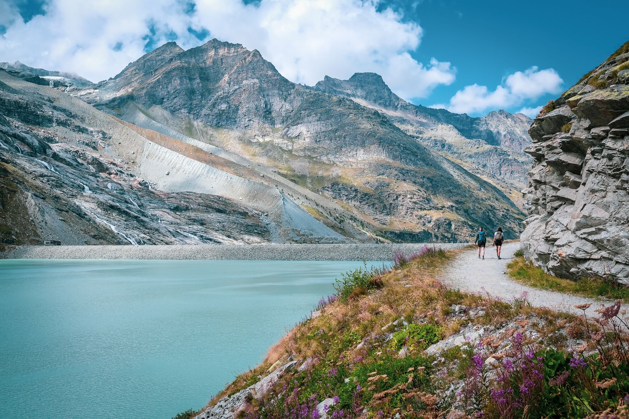
Der Weg vom Mattmark-Stausee hoch auf den Monte Moro Pass hat Geschichte. Der abwechlungsreiche Weg diente als Schmugglerpfad zwischen dem benachbarten Italien und dem Saastal.
- Sværhedsgrad
-
tung
- Evaluering
-
- Bedste sæson
-
janfebmaraprmajjunjulaugsepoktnovdec
- Højeste punkt
- 2.824 m
- Destination
-
Staumauer Mattmark
- Højdeprofil
-
 © outdooractive.com


-

-
ForfatterRundvisningen Vom Mattmark-Stausee auf den Monte-Moro-Pass bruges af outdooractive.com forudsat.
GPS Downloads


Generel information
Forfriskningsstop
Kulturel/Historisk
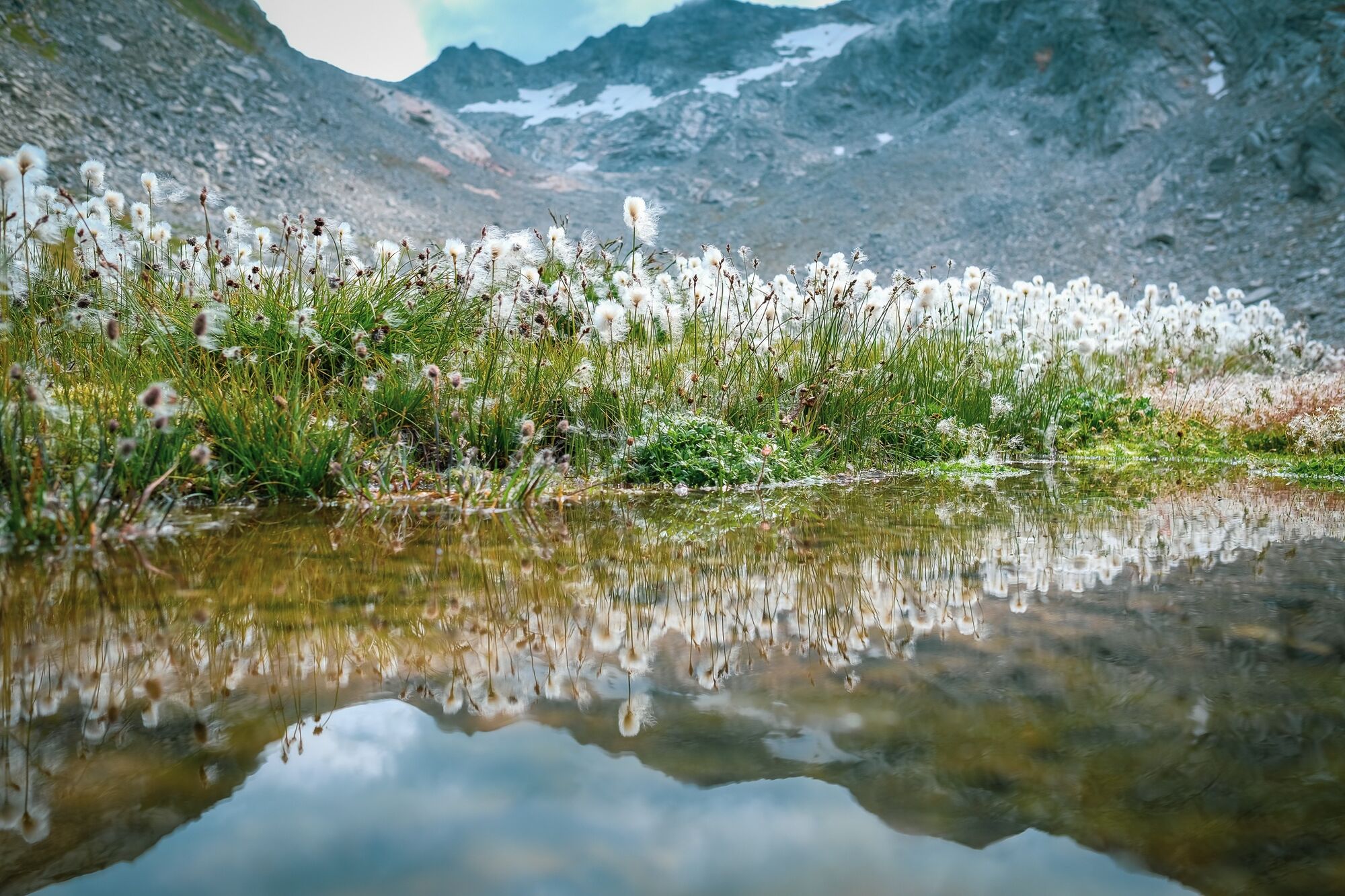
Flora
Fauna
Lovende
Flere ture i regionerne
-
Oberwallis
1877
-
Saastal
484
-
Macugnaga
67


")
