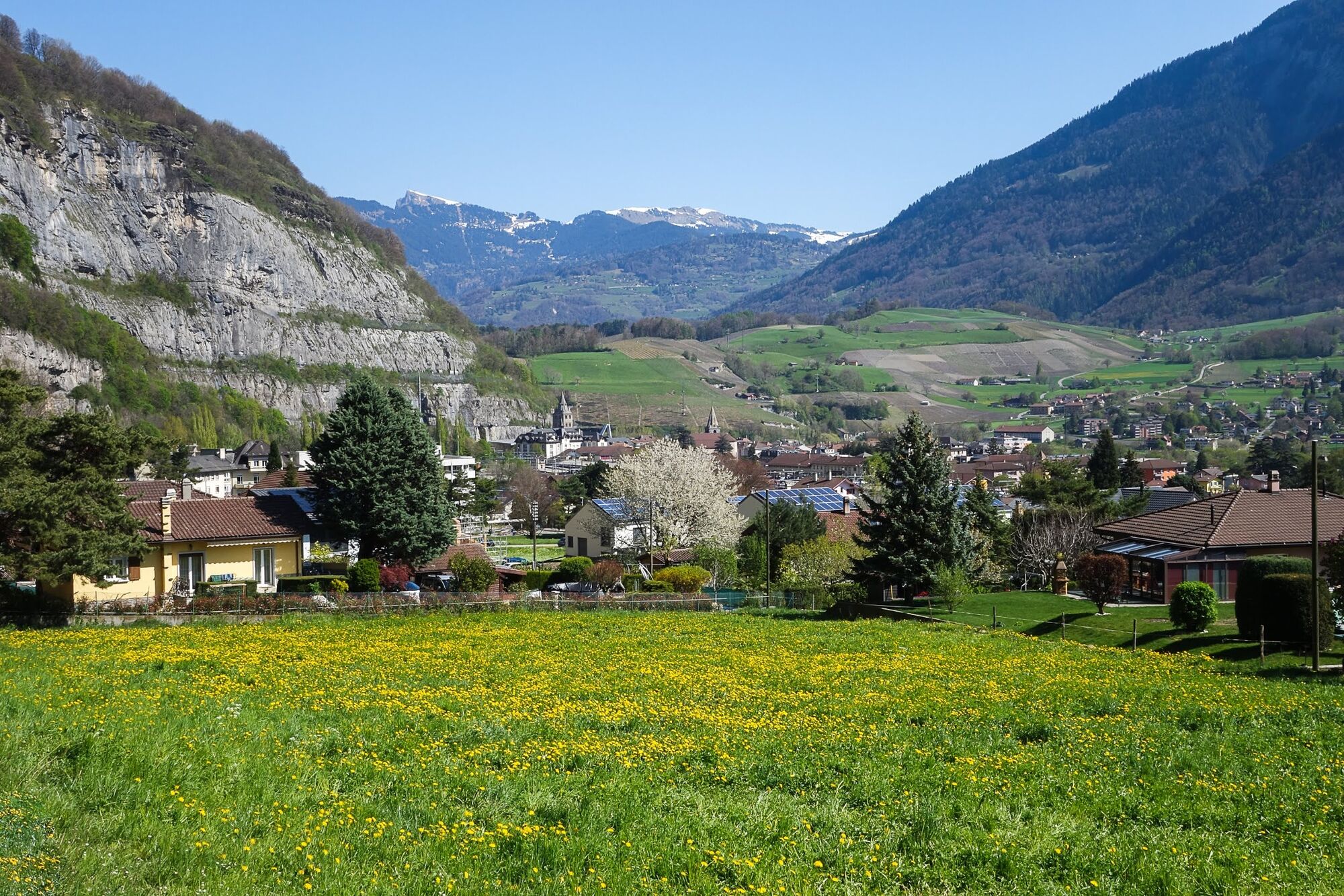
© Saint-Maurice Tourisme

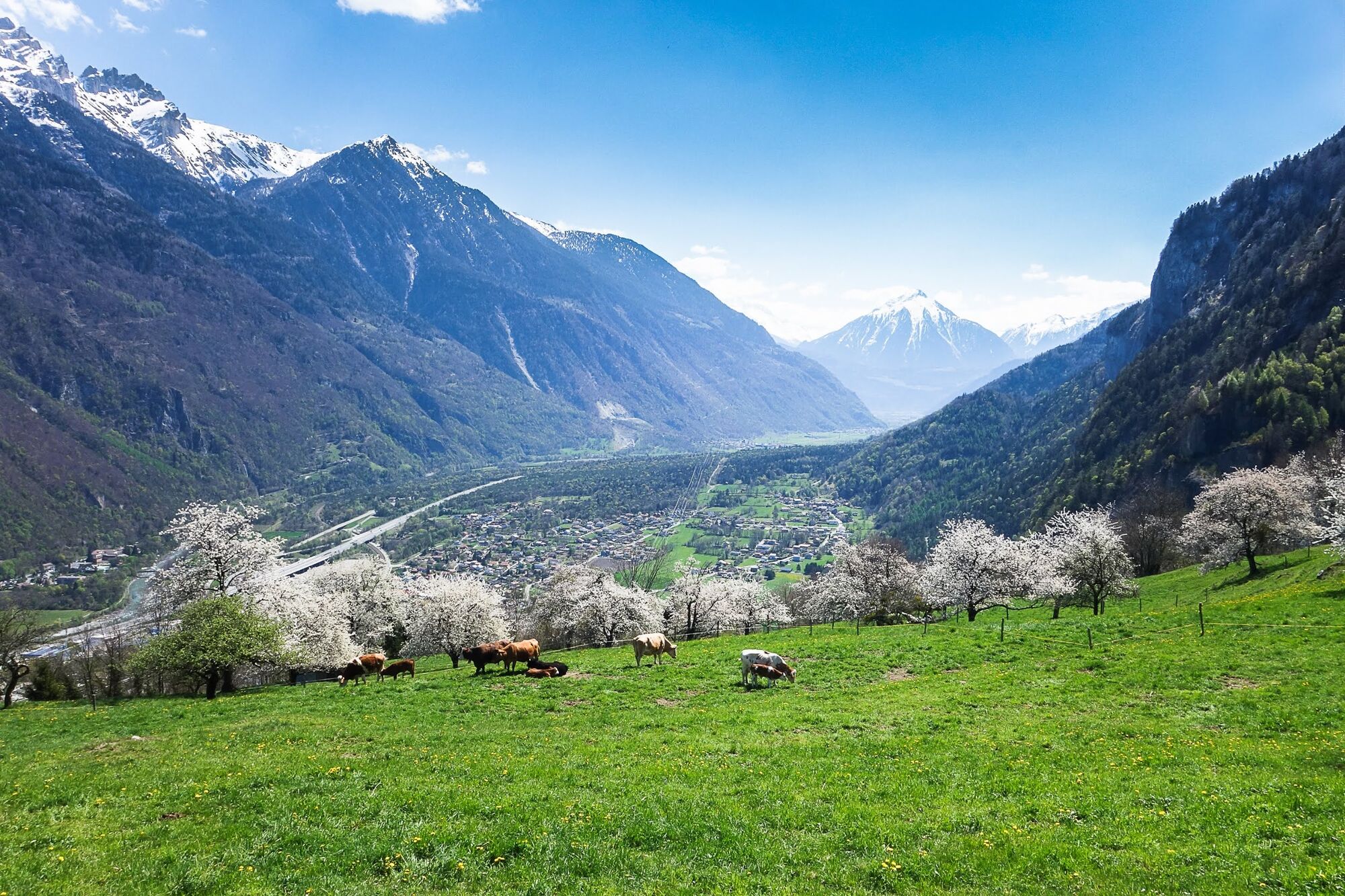
© Saint-Maurice Tourisme

© Saint-Maurice Tourisme

- Kort beskrivelse
-
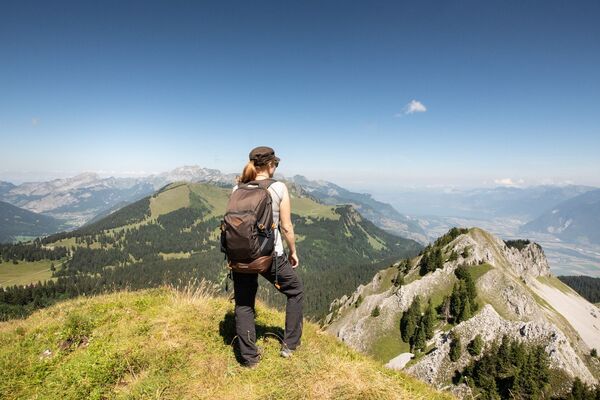
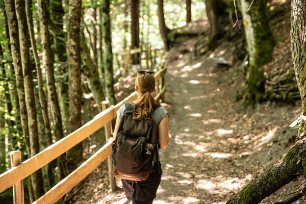
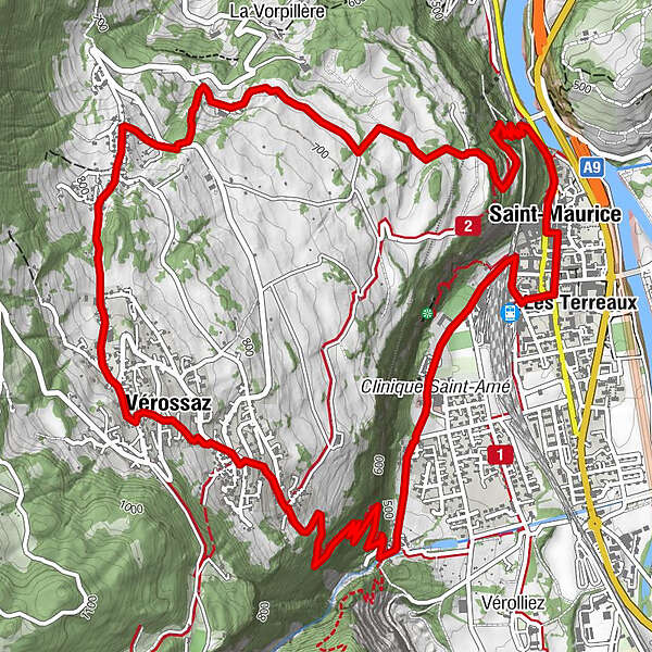
Explore the majestic rock face that overlooks Saint-Maurice, following a path that runs along the rocks and passes through cultural sites and historical fortifications.
- Sværhedsgrad
-
let
- Evaluering
-
- Rute
-
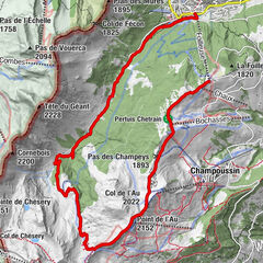
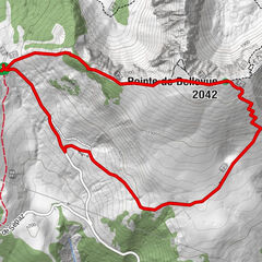
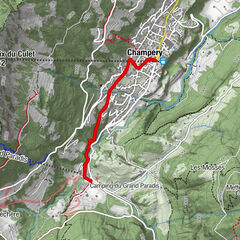
Saint-Maurice (414 m)0,2 kmSt-Maurice (Arsenal)0,7 kmVérossaz (811 m)3,7 kmGrotte aux Fées7,7 kmSaint-Maurice (414 m)8,5 kmBasilique Saint Maurice8,5 kmLes Terreaux8,9 kmSaint-Sigismond9,0 km
- Bedste sæson
-
janfebmaraprmajjunjulaugsepoktnovdec
- Højeste punkt
- 872 m
- Destination
-
St-Maurice
- Højdeprofil
-
 © outdooractive.com

- Forfatter
-
Rundvisningen Vérossaz plateau bruges af outdooractive.com forudsat.
GPS Downloads


Generel information
Forfriskningsstop
Kulturel/Historisk
Insider-tip
Lovende
Flere ture i regionerne