
- Kort beskrivelse
-
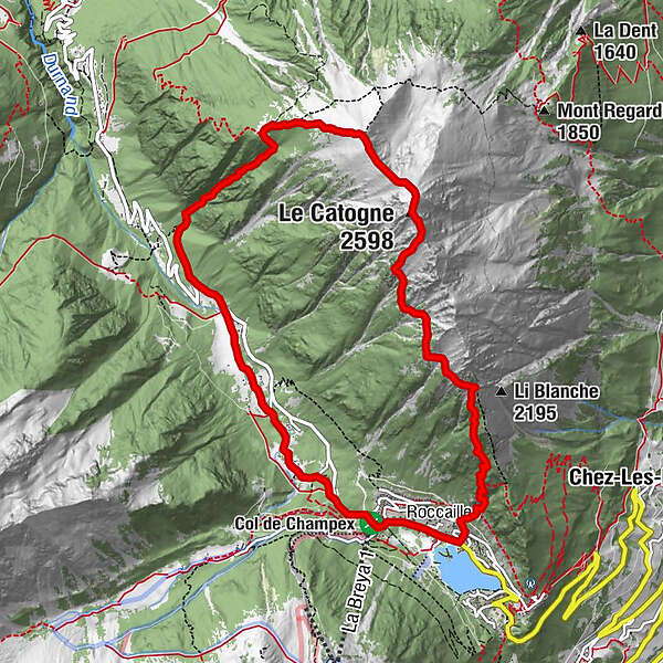
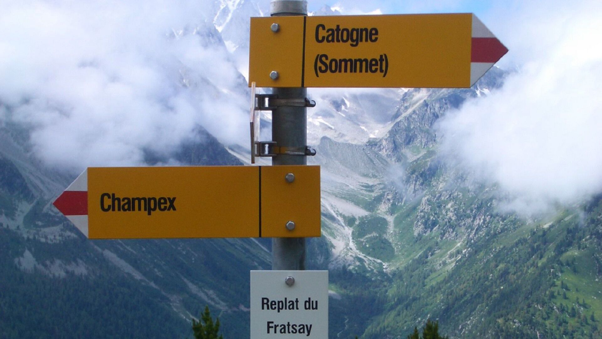
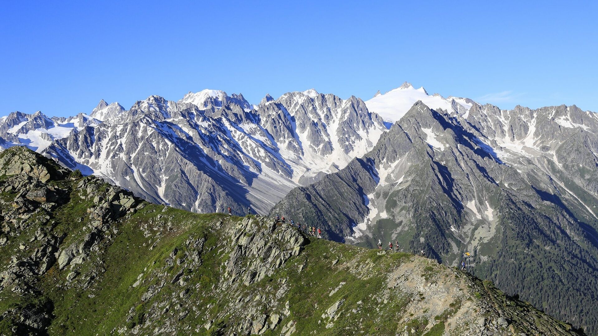
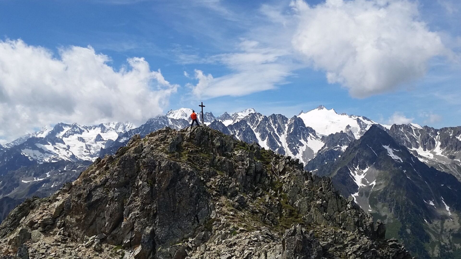
Day hike to the top of Catogne
- Sværhedsgrad
-
tung
- Evaluering
-
- Rute
-
Champex-LacChampex d'en haut1,7 kmChampex d'en bas2,5 kmLe Catogne (2.598 m)7,7 kmChampex-Lac11,9 km
- Bedste sæson
-
janfebmaraprmajjunjulaugsepoktnovdec
- Højeste punkt
- 2.579 m
- Destination
-
Champex-Lac
- Højdeprofil
-
 © outdooractive.com


- Forfatter
-
Rundvisningen N. 12 Le Catogne bruges af outdooractive.com forudsat.
GPS Downloads


Generel information
Helbredende klima
Lovende
Flere ture i regionerne
-
Thyon les Collons
1435
-
Pays du Saint-Bernard
319
-
Champex-Lac
100