

© Matterhorn Gotthard Bahn - David Hannes Bumann

© Matterhorn Gotthard Bahn - David Hannes Bumann

© Matterhorn Gotthard Bahn - David Hannes Bumann

© Matterhorn Gotthard Bahn - David Hannes Bumann

© Matterhorn Gotthard Bahn - David Hannes Bumann


- Kort beskrivelse
-
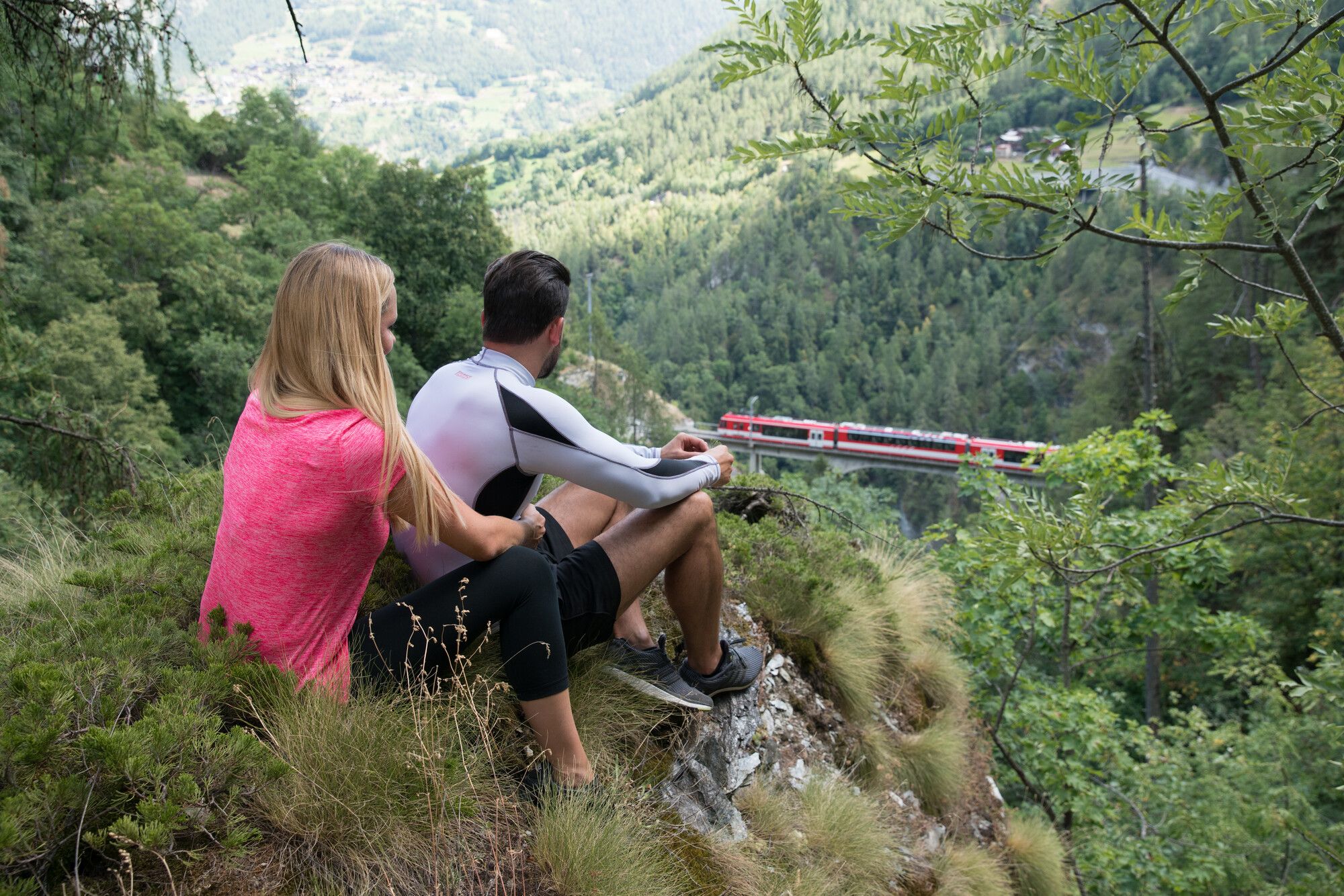
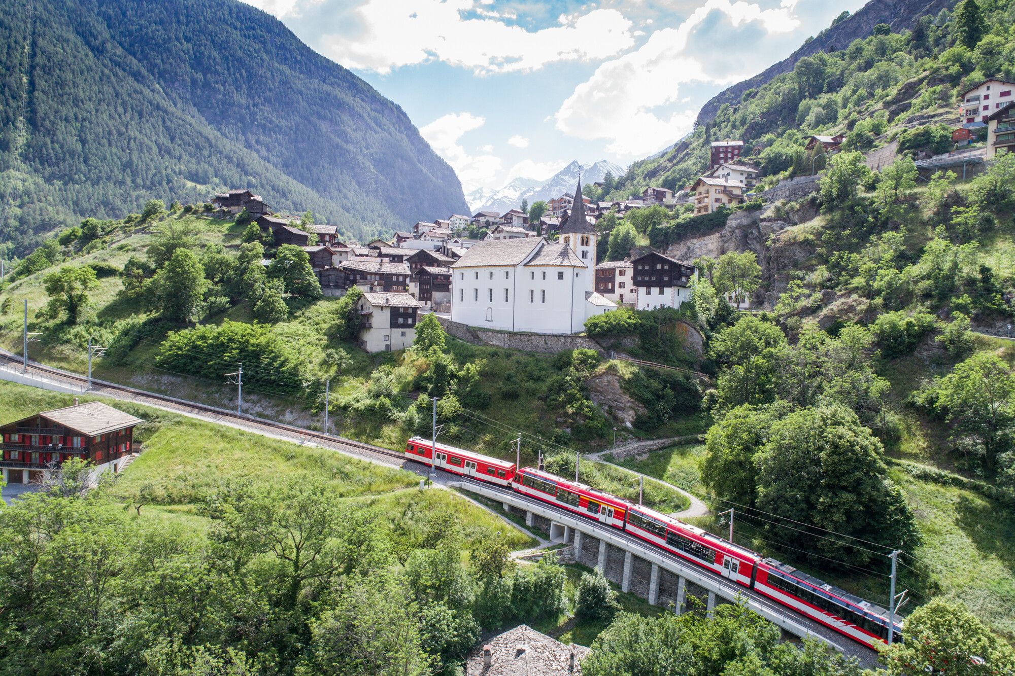
This route takes walkers through the Nikolai Valley, the Rhone’s longest side valley. It is a thinly populated, rugged region and therefore a a good area to experience unspoilt nature. During the walk you get views of the Matterhorn Gotthard railway line between Visp and Zermatt from various perspectives.
- Sværhedsgrad
-
let
- Evaluering
-
- Rute
-
Sankt Niklaus0,1 kmSt. Niklaus (1.127 m)0,1 kmPfarrkirche St. Niklaus0,1 kmEya0,4 kmEsch0,9 kmFeld1,1 kmLochmatten1,4 kmSälli2,4 kmVolken2,6 kmKalpetran5,7 kmHohlgässi9,6 kmStalden VS9,6 km
- Bedste sæson
-
janfebmaraprmajjunjulaugsepoktnovdec
- Højeste punkt
- 1.125 m
- Destination
-
Stalden train station
- Højdeprofil
-
 © outdooractive.com


- Forfatter
-
Rundvisningen Railway hike from St. Niklaus to Stalden bruges af outdooractive.com forudsat.
GPS Downloads


Generel information
Forfriskningsstop
Flere ture i regionerne
-
Oberwallis
1872
-
Unterbäch
937
-
Grächen - St. Niklaus
136


