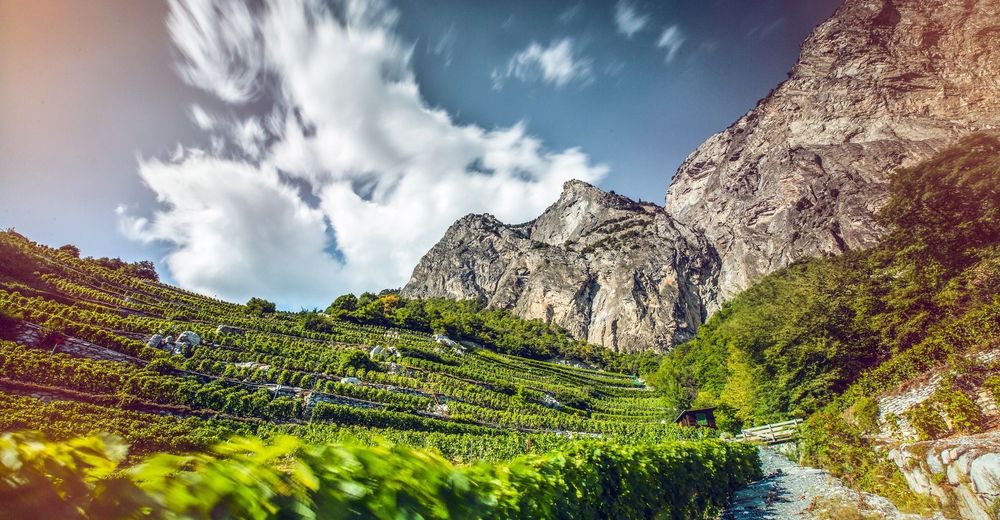
© Valais/Wallis Promotion - Christian Pfammatter

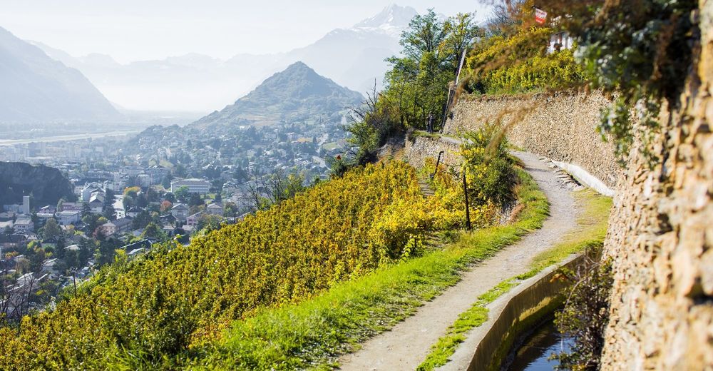
© Valais/Wallis Promotion - Pascal Gertschen

- Kort beskrivelse
-
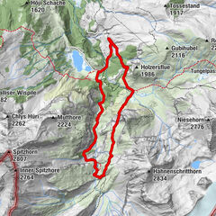
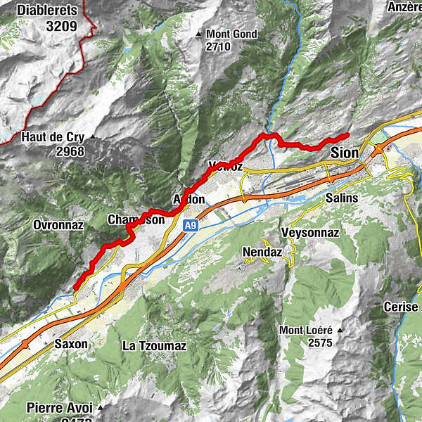
The second stage of the long-distance Chemin du Vignoble («Vineyard Trail») leads from the pretty medieval village of Saillon to the capital of Valais.
- Sværhedsgrad
-
medium
- Evaluering
-
- Rute
-
SaillonChamoson6,0 kmSaint-André le bistrot6,0 kmCaveau de Chamoson6,0 kmSaint-André6,1 kmRestaurant de la Coopérative9,3 kmArdon (503 m)9,4 kmBalavaud10,6 kmBollaire10,6 kmMagnot11,1 kmLa Cambuse11,2 kmLe Raisin11,2 kmVétroz (483 m)13,0 kmLes 3 suisses16,0 kmChapelle16,0 kmSensine16,0 kmVens16,2 kmVuisse16,9 kmLa Muraz18,7 kmDiolly20,1 kmSitten (515 m)21,3 kmParoisse Orthodoxe Saints Georges et Maurice21,3 km
- Bedste sæson
-
janfebmaraprmajjunjulaugsepoktnovdec
- Højeste punkt
- 690 m
- Destination
-
Sion (bus stop «Brasserie»)
- Højdeprofil
-
 © outdooractive.com


-

-
ForfatterRundvisningen Chemin du Vignoble: Saillon to Sion (stage 2) bruges af outdooractive.com forudsat.
GPS Downloads


Generel information
Forfriskningsstop
Kulturel/Historisk
Lovende
Flere ture i regionerne
-
Thyon les Collons
1426
-
Coteaux du Soleil
604
-
Ardon
78