© Valais/Wallis Promotion - Delia Inniger

© Unbekannt - JB Bieuville

- Kort beskrivelse
-
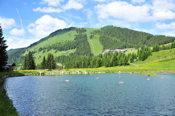
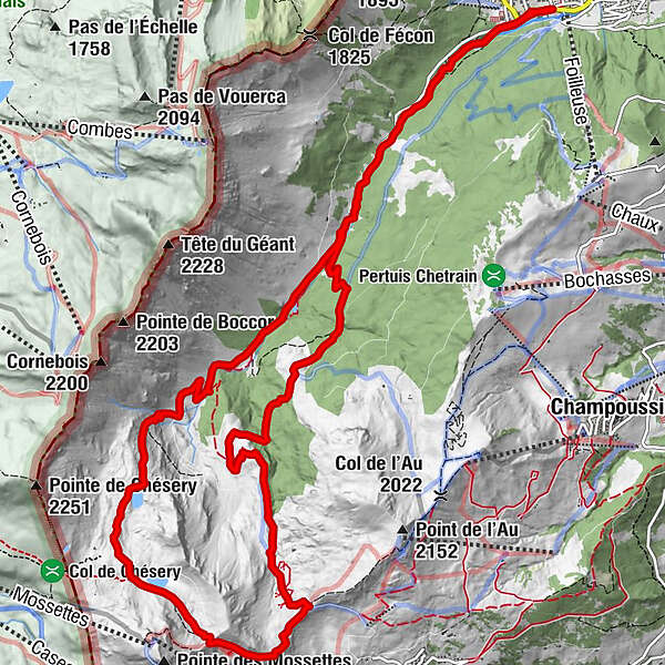
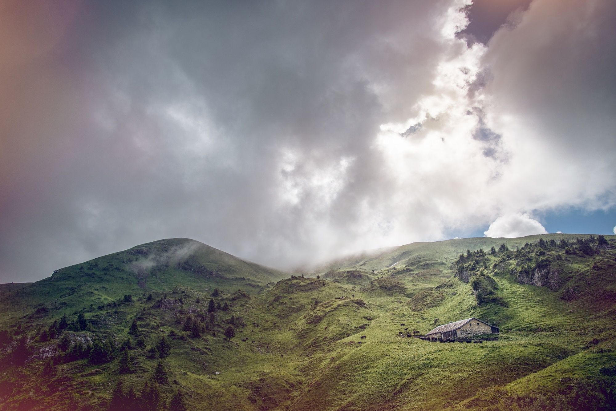
Loop through the pristine Vallon de They to the sources of the River Vièze: a water-themed walk from peaceful woodland to idyllic alpine lakes.
- Sværhedsgrad
-
medium
- Evaluering
-
- Rute
-
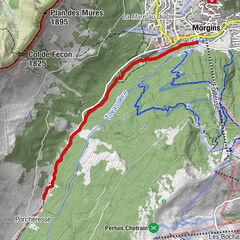
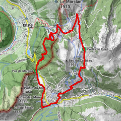
Morgins (1.333 m)Cantine de They2,7 kmCascade de Sassex5,5 kmRefuge de Chésery7,0 kmCantine La Tovassière11,1 kmPorcheresse13,6 kmCantine de They13,9 kmMorgins (1.333 m)16,6 km
- Bedste sæson
-
janfebmaraprmajjunjulaugsepoktnovdec
- Højeste punkt
- 2.085 m
- Destination
-
Morgins (tourist office)
- Højdeprofil
-
 © outdooractive.com

-

-
ForfatterRundvisningen Across Vallon de They to the sources of the Vièze bruges af outdooractive.com forudsat.
GPS Downloads


Generel information
Forfriskningsstop
Insider-tip
Fauna
Lovende
Flere ture i regionerne
-
Portes du Soleil
974
-
Région Dents du Midi
581
-
Morgins
228