© Valais/Wallis Promotion - David Carlier - David Carlier

© Michael Figgen - Markus Klauke

© Michael Figgen - Markus Klauke


- Kort beskrivelse
-
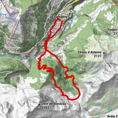
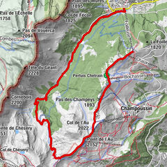
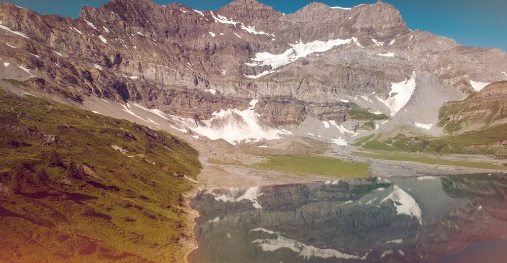
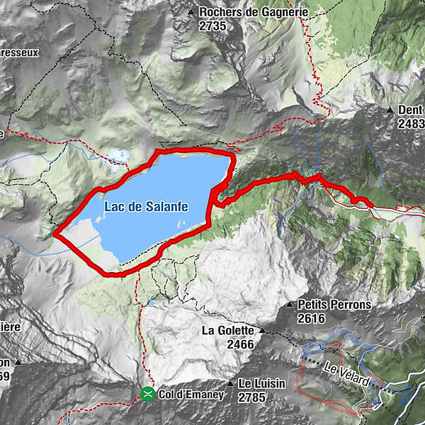
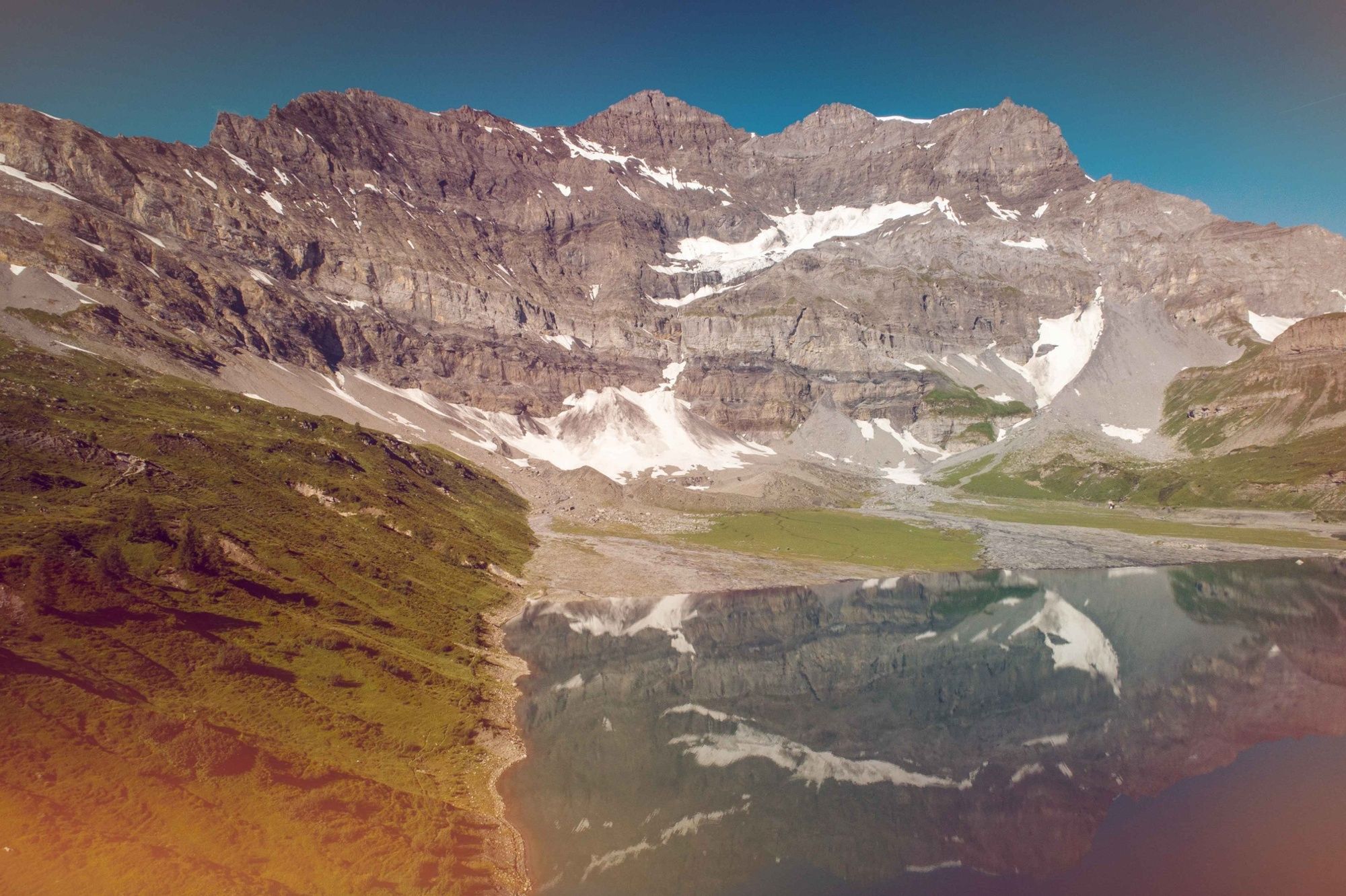
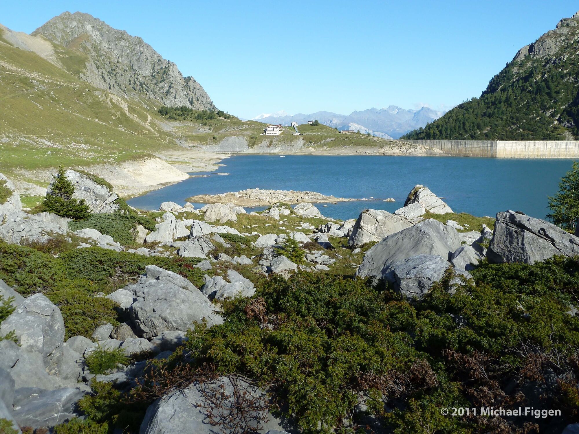
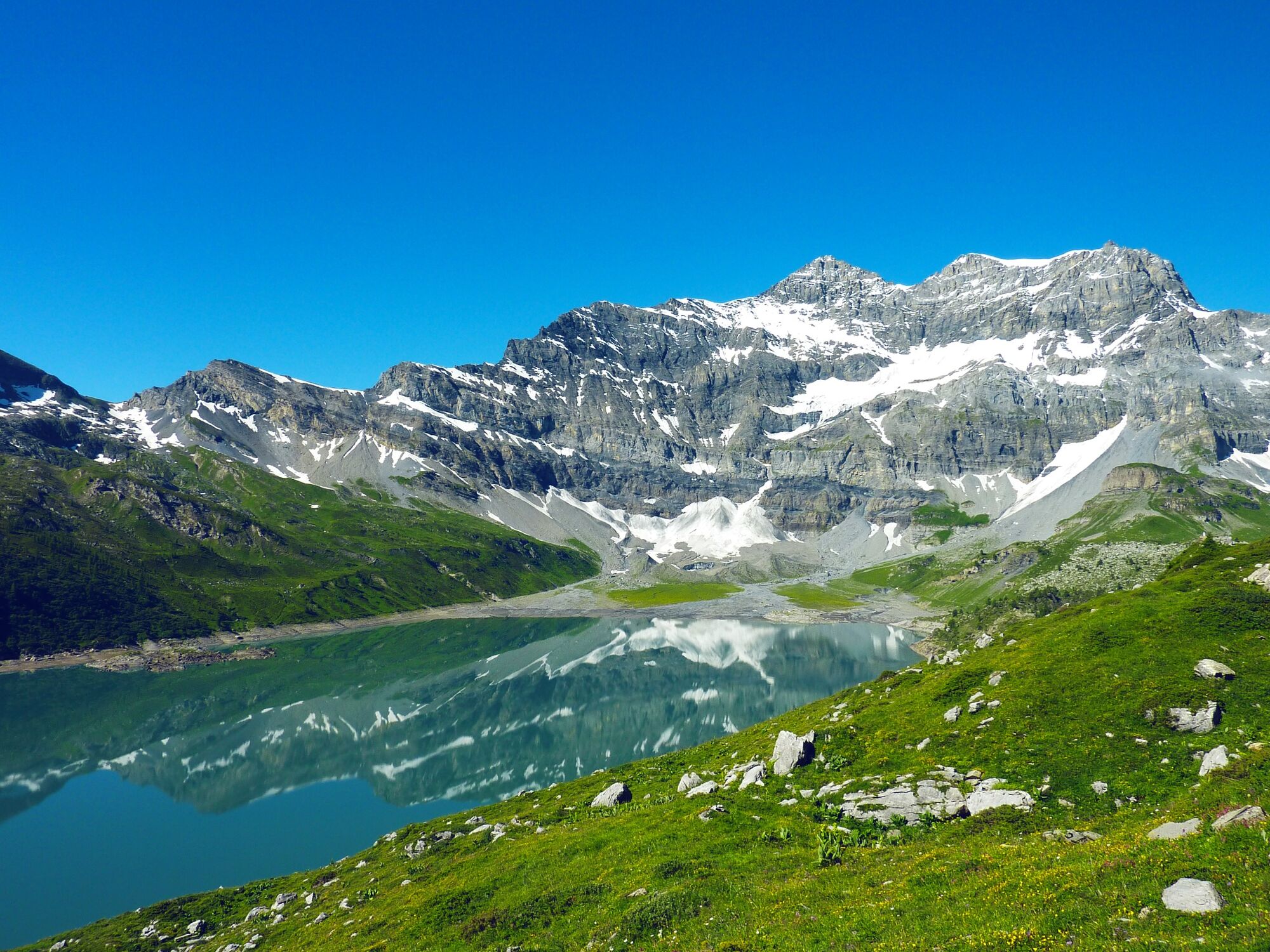
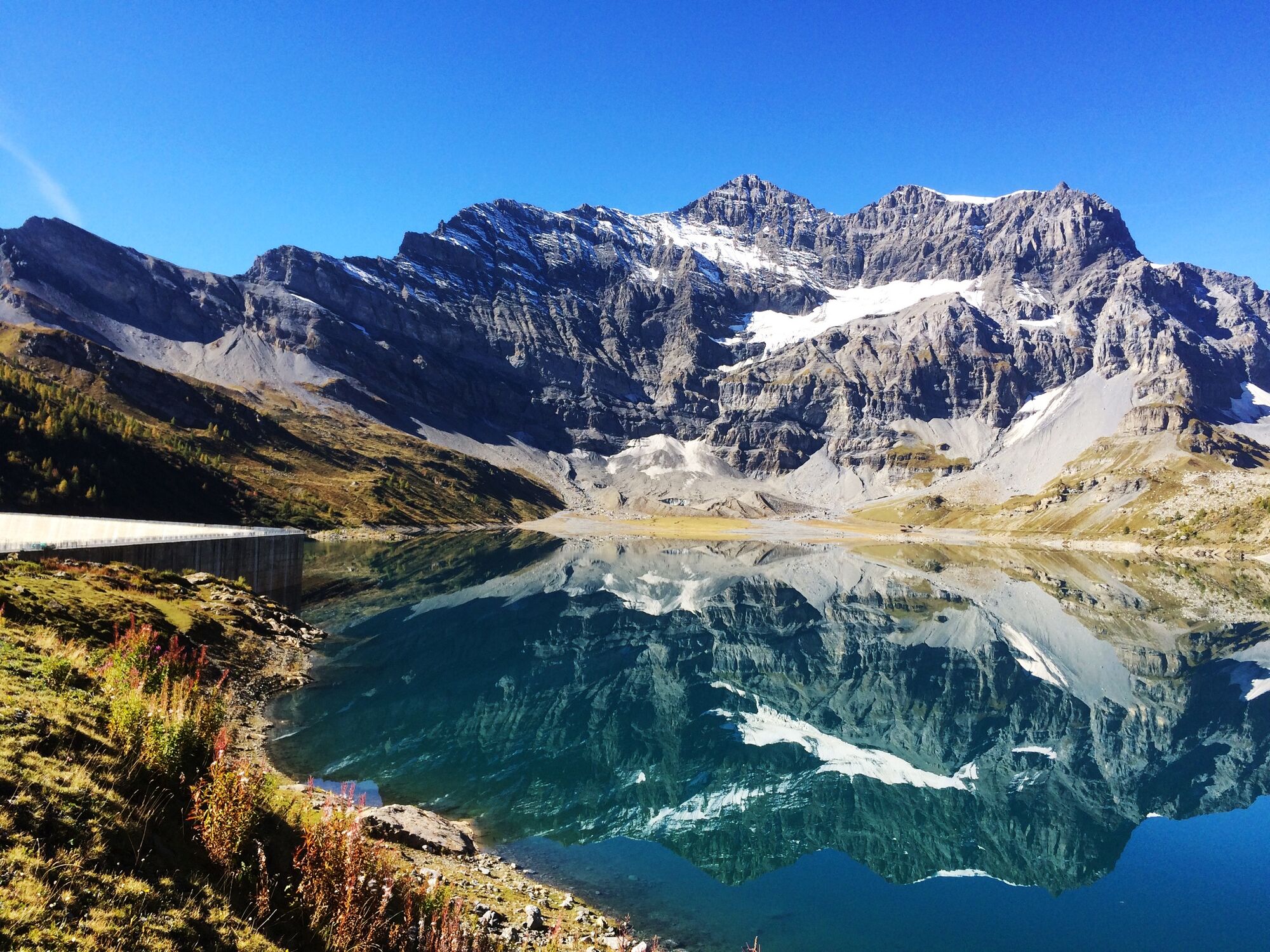
From the Vallon de Van up to and around the idyllic Lac de Salanfe at the foot of the Dents du Midi. The trail leads through wild and alpine, fascinating landscapes.
- Sværhedsgrad
-
tung
- Evaluering
-
- Rute
-
La fontaine des bouquetins0,6 kmLa fontaine des bouquetins12,2 km
- Bedste sæson
-
janfebmaraprmajjunjulaugsepoktnovdec
- Højeste punkt
- 1.979 m
- Destination
-
Van d’en Haut campsite
- Højdeprofil
-
 © outdooractive.com

-

-
ForfatterRundvisningen Sentier de Salanfe bruges af outdooractive.com forudsat.
GPS Downloads


Generel information
Kulturel/Historisk
Insider-tip
Flora
Fauna
Lovende
Flere ture i regionerne
-
Portes du Soleil
974
-
Trient-Tal / Wallis
498
-
Les Marécottes
146