
- Kort beskrivelse
-
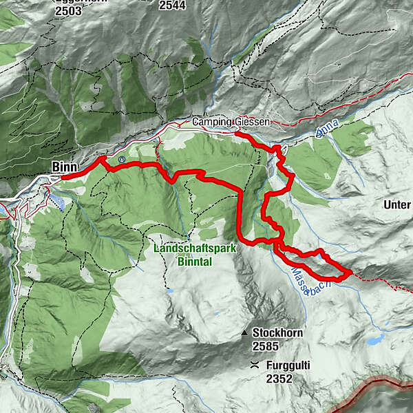
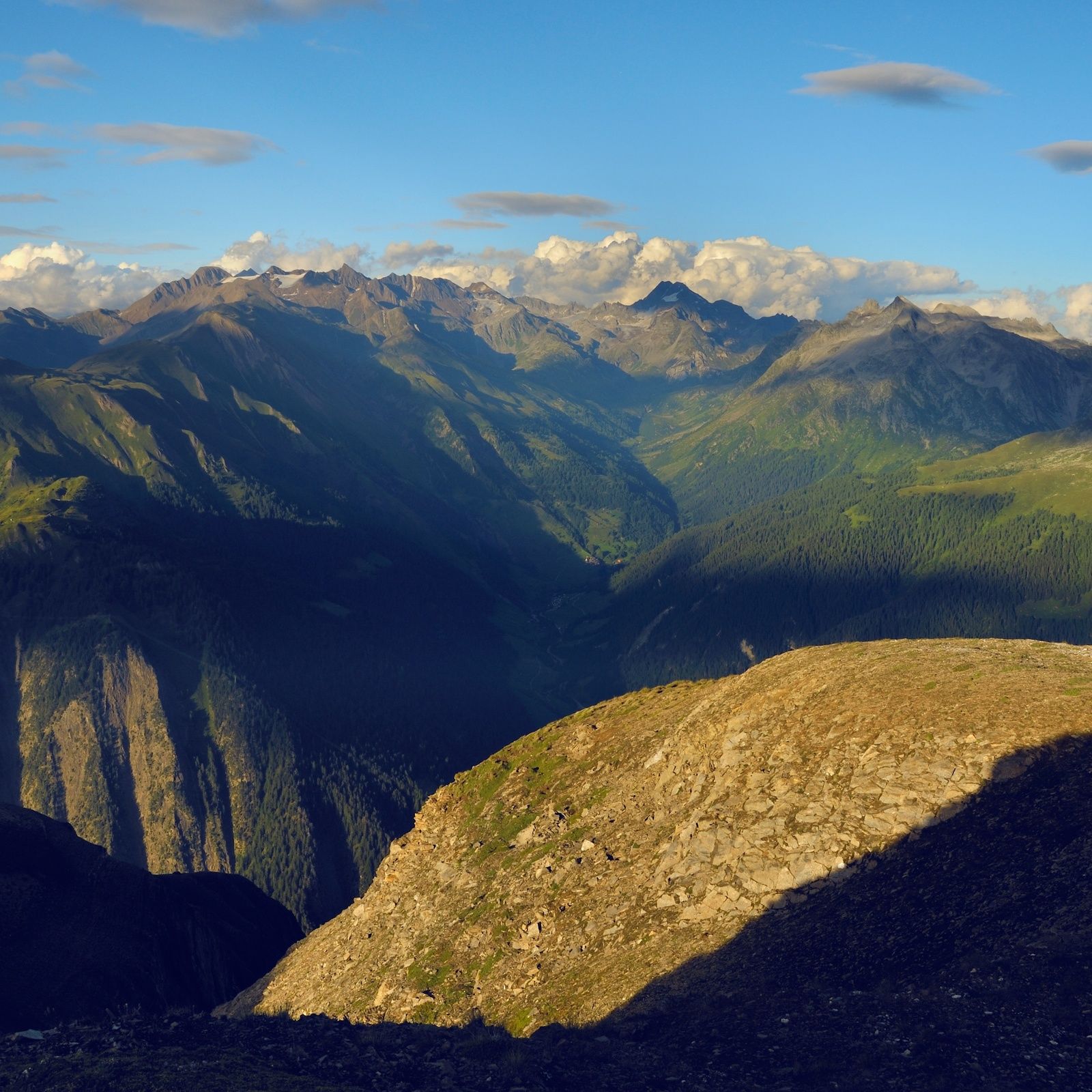
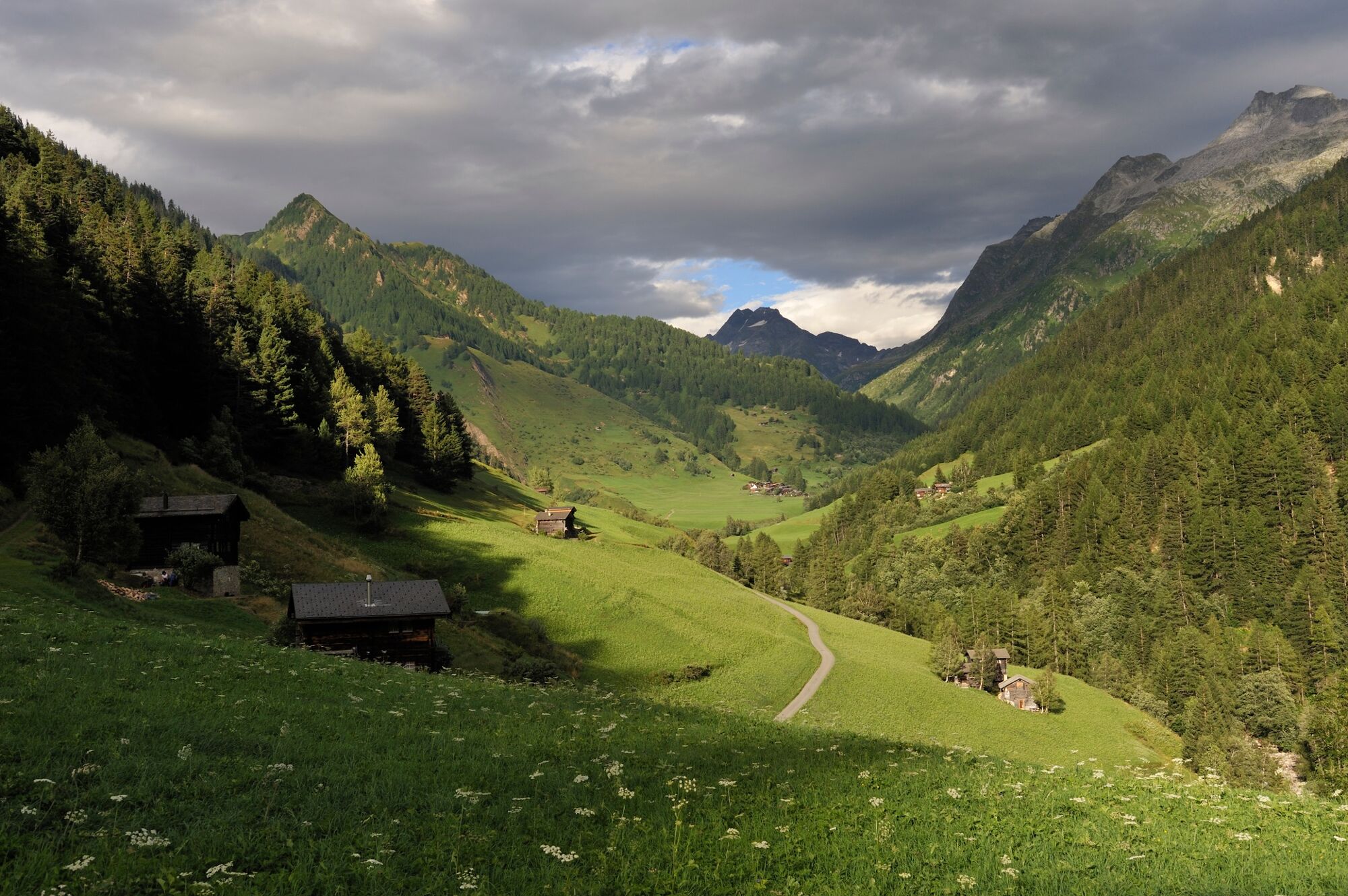
Loop through the Binntal valley, famous for its glorious scenery, wealth of minerals and time-warp historical villages. The gem at the heart of the Binntal Landscape Park.
- Sværhedsgrad
-
medium
- Evaluering
-
- Rute
-
ImfeldFäldRestaurant Imfeld0,0 kmRippje0,0 kmSt. Christophorus0,7 kmFiggerscha0,7 kmZur Brücke9,4 kmSt. Antonius9,4 kmBinn (1.400 m)9,4 km
- Bedste sæson
-
janfebmaraprmajjunjulaugsepoktnovdec
- Højeste punkt
- 2.160 m
- Destination
-
Binn
- Højdeprofil
-
 © outdooractive.com
-

-
ForfatterRundvisningen Discovering Binntal Landscape Park: Imfeld – Mässersee – Binn bruges af outdooractive.com forudsat.
GPS Downloads


Generel information
Kulturel/Historisk
Flora
Fauna
Lovende
Flere ture i regionerne
-
Aletsch Arena
1485
-
Divedrotal
348
-
Bellwald
89