© Lötschental Tourismus - Sandra Stockinger

© Lötschental Tourismus - Sandra Stockinger

© Lötschental Tourismus - Sandra Stockinger

© Lötschental Tourismus - Sandra Stockinger

© Lötschental Tourismus - Sandra Stockinger

© Lötschental Tourismus - Sandra Stockinger

© Lötschental Tourismus - Sandra Stockinger

© Lötschental Tourismus - Sandra Stockinger

- Kort beskrivelse
-
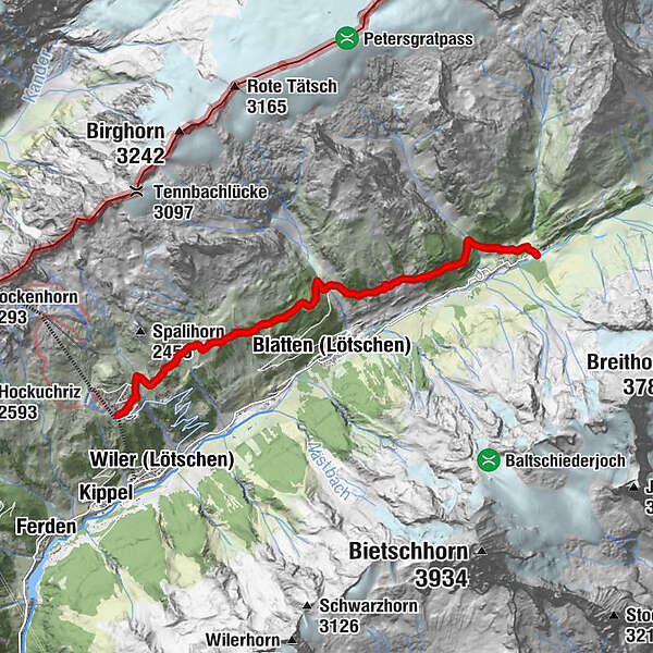
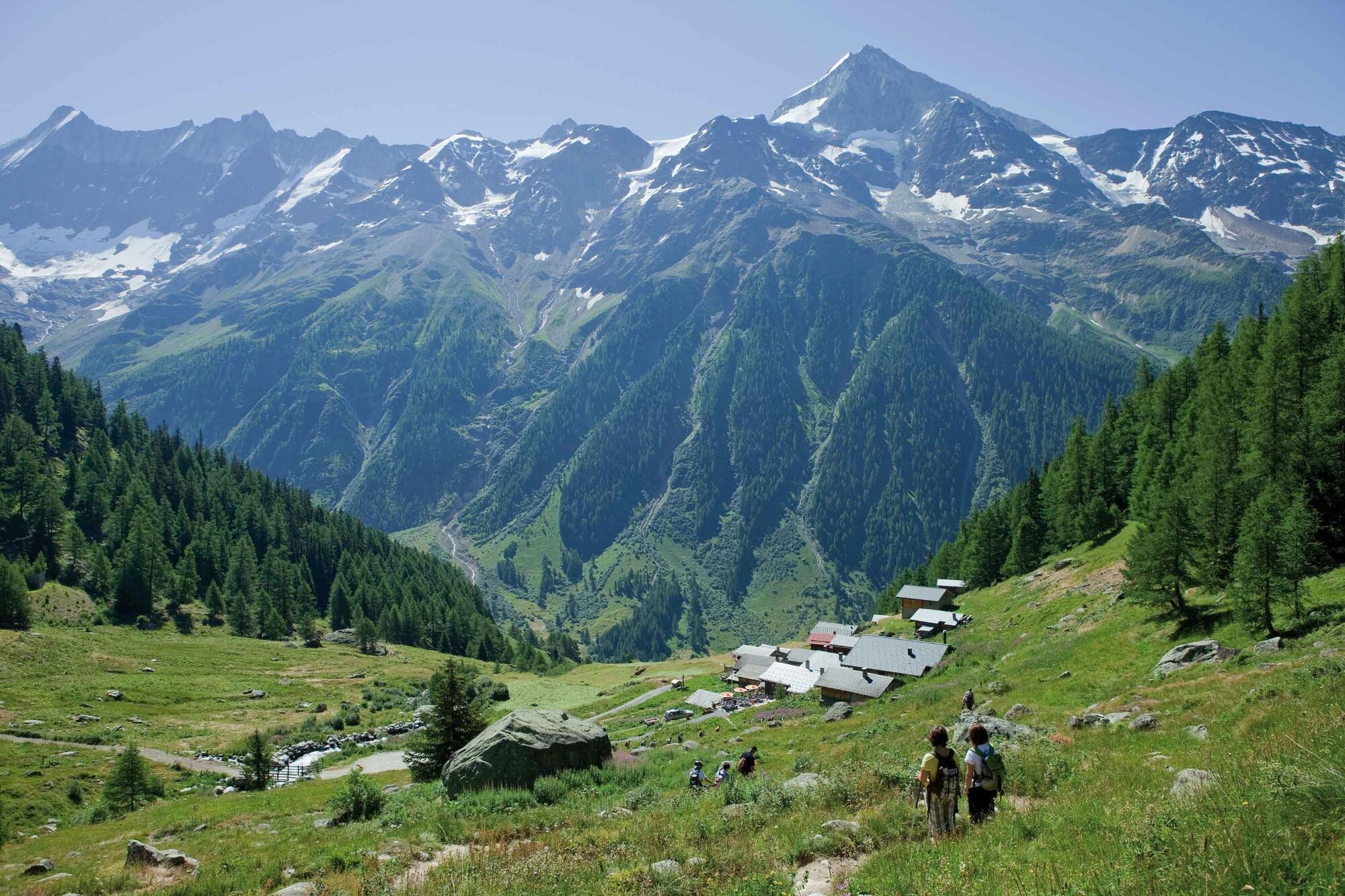
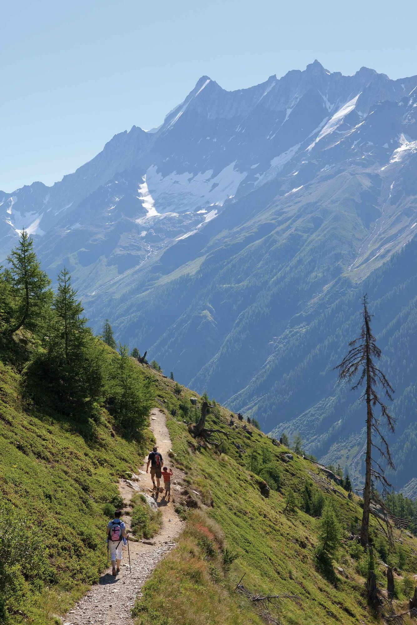
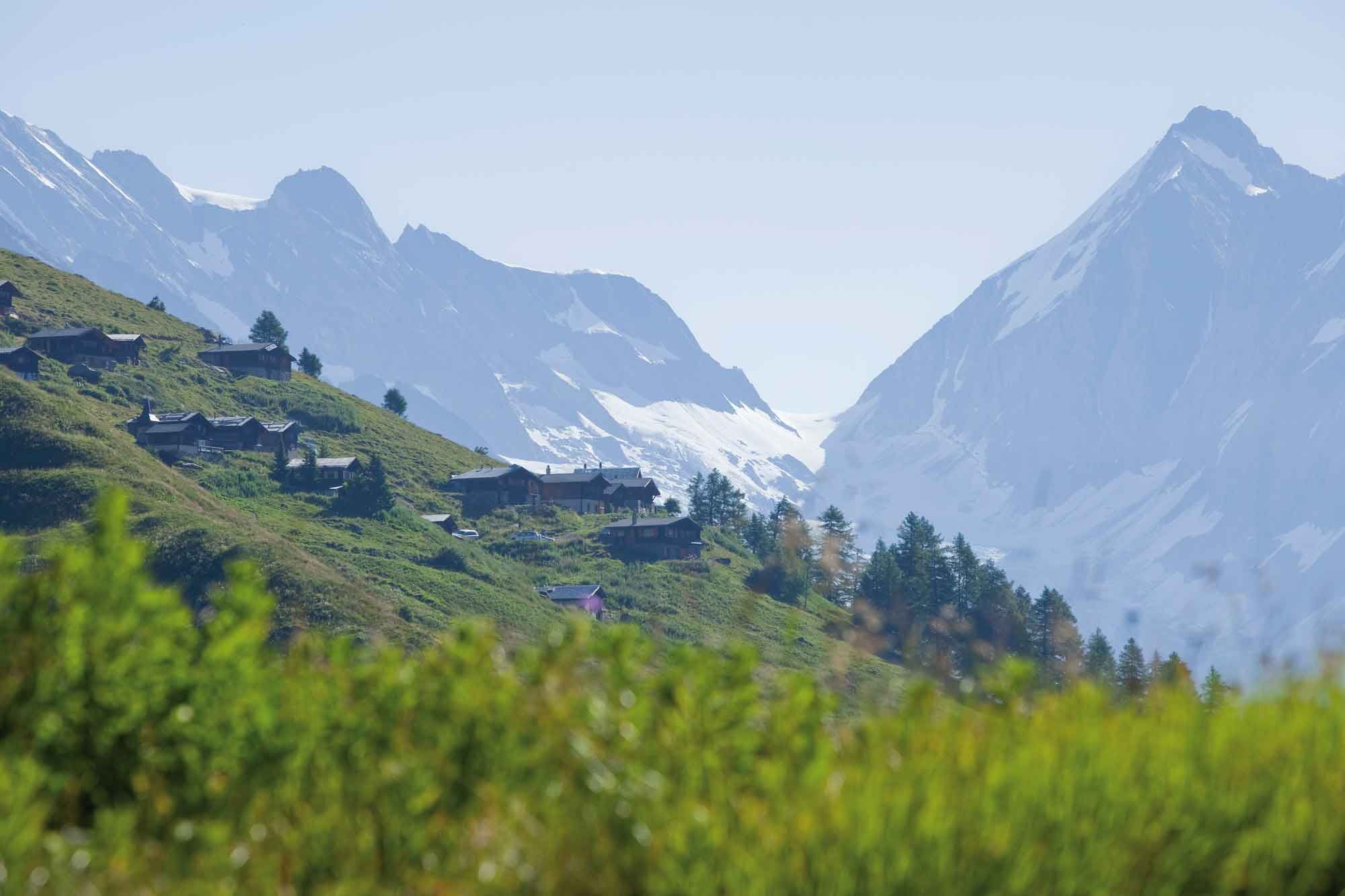
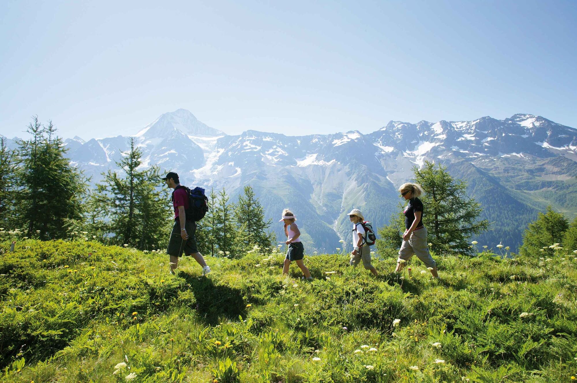
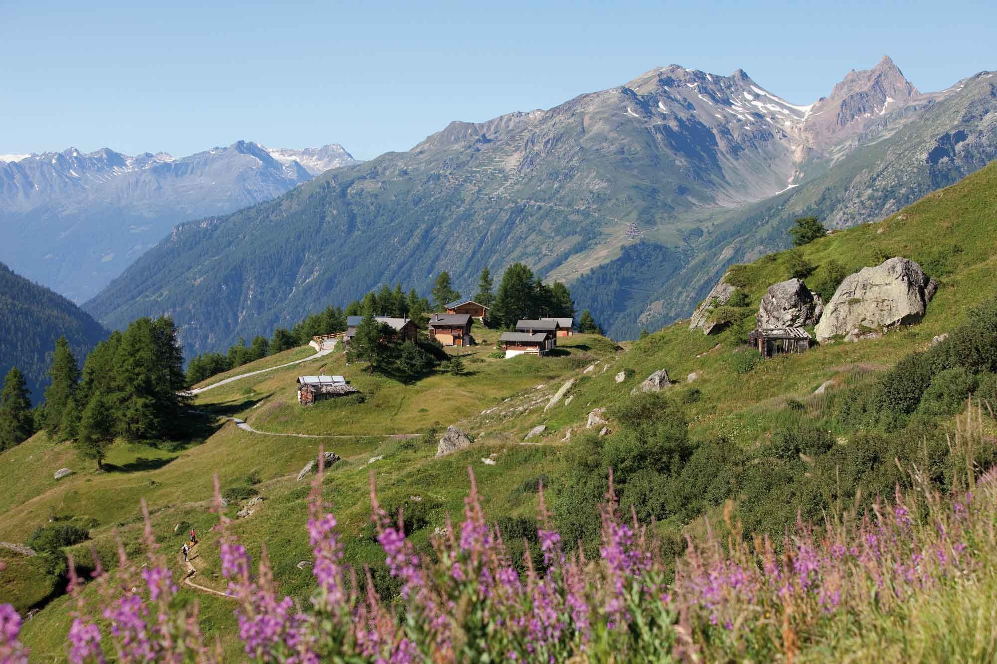
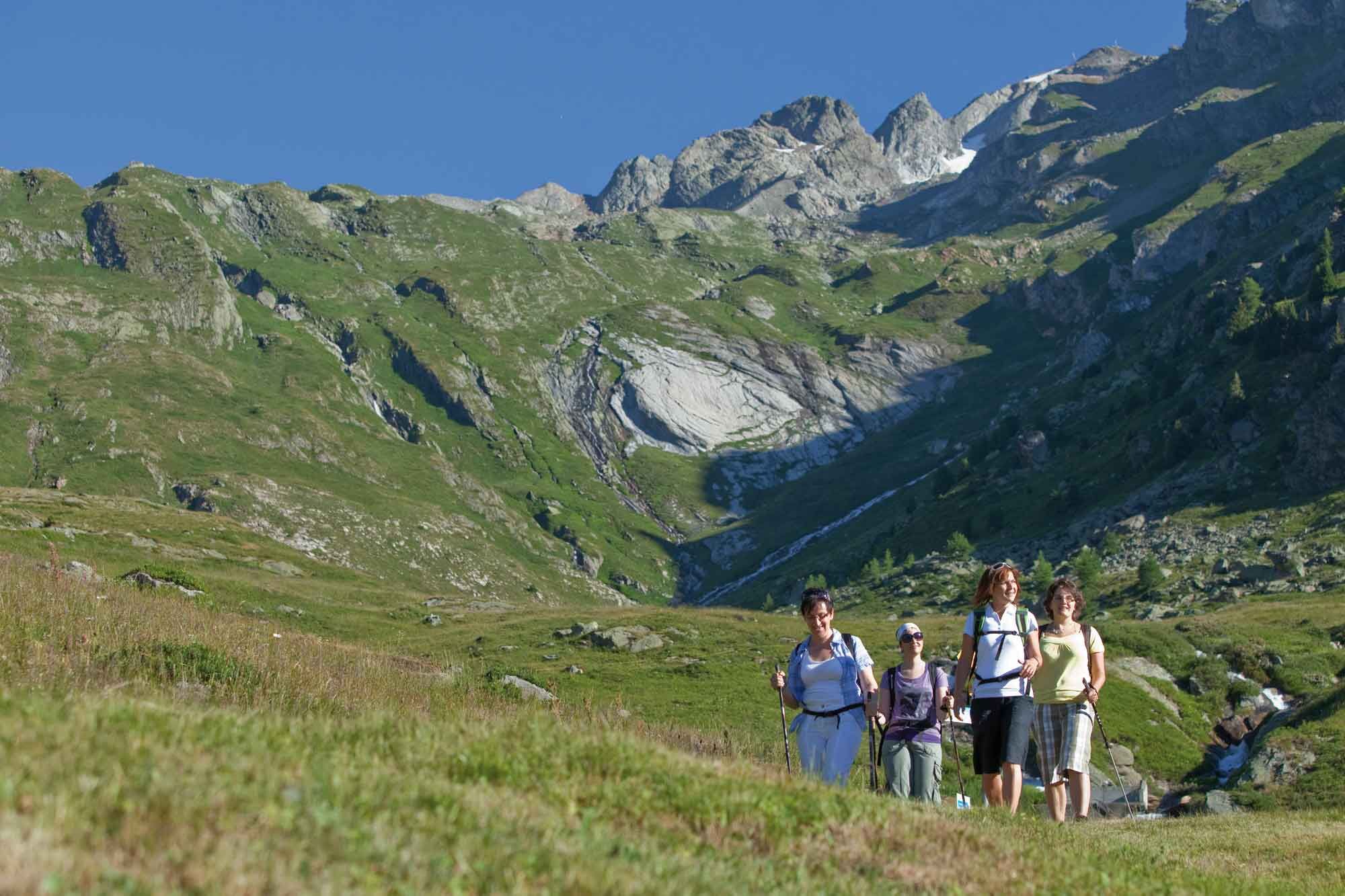
The classic - panoramic hike on the Lötschental High Trail from Lauchernalp via Weritzalp to Tellialp and on past the Schwarzsee and Faflersee lakes to Fafleralp.
- Sværhedsgrad
-
let
- Evaluering
-
- Rute
-
Zudili0,0 kmSteinegga0,9 kmTellialp5,0 kmRestaurant Tellialp5,0 kmGletscherstafel9,2 km
- Bedste sæson
-
janfebmaraprmajjunjulaugsepoktnovdec
- Højeste punkt
- 2.087 m
- Destination
-
Fafleralp Bus stop
- Højdeprofil
-
 © outdooractive.com
- Forfatter
-
Rundvisningen Lötschental Panoramic Trail Lauchernalp-Fafleralp bruges af outdooractive.com forudsat.
GPS Downloads


Generel information
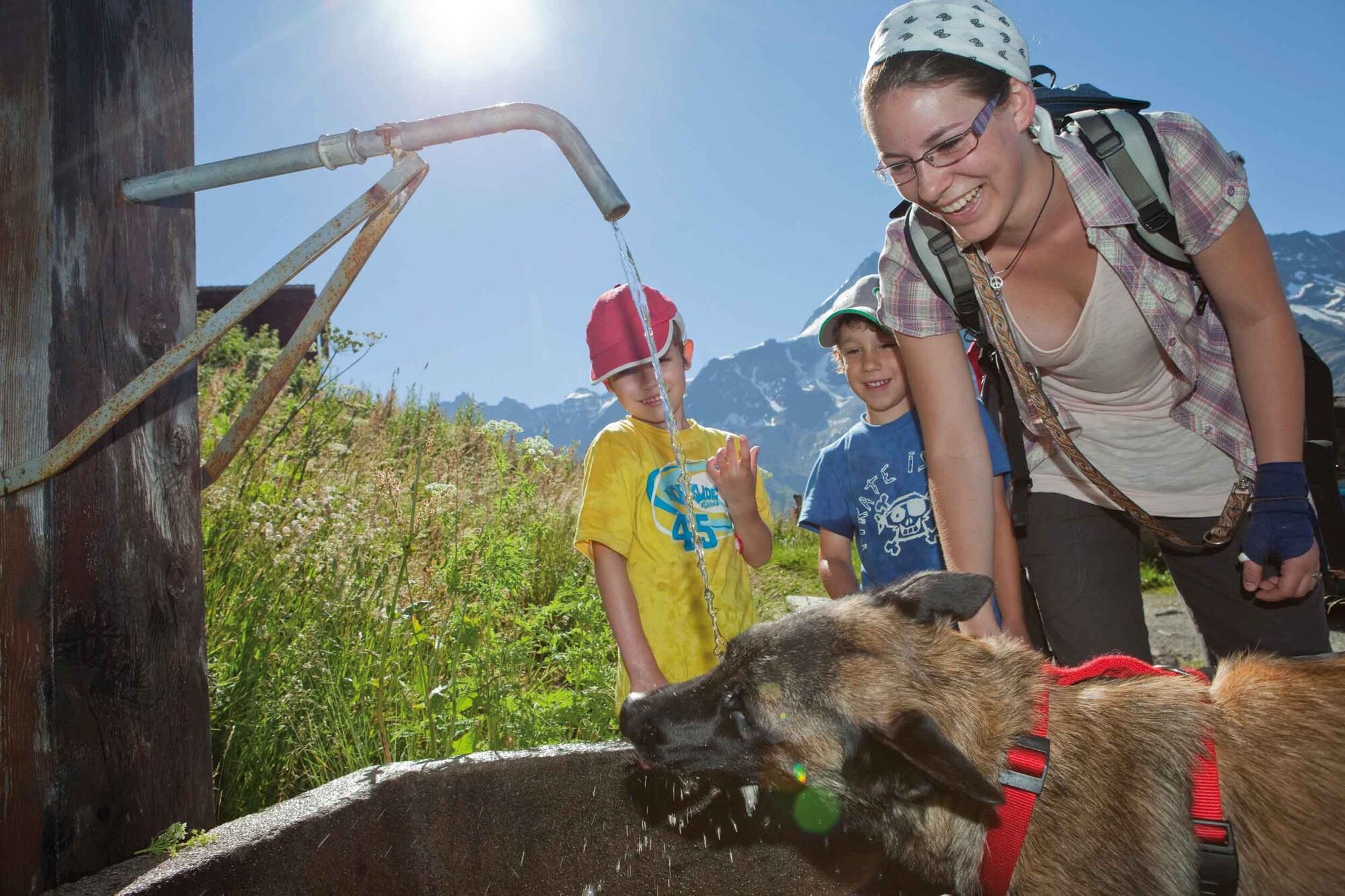
Forfriskningsstop
Insider-tip
Flora
Lovende
Flere ture i regionerne
-
Oberwallis
1883
-
Lötschental
1073
-
Blatten
132