

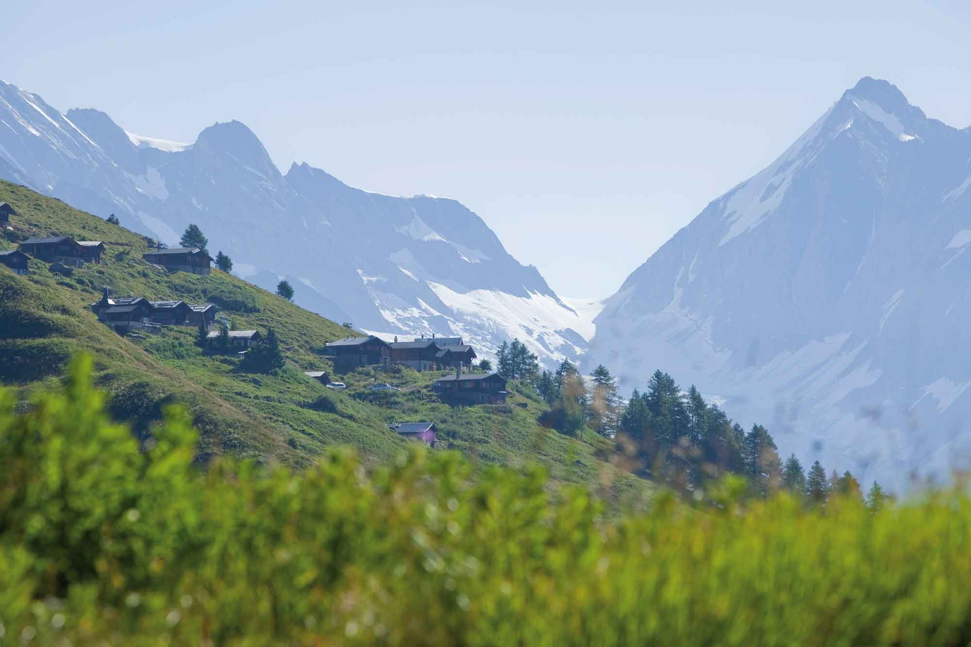
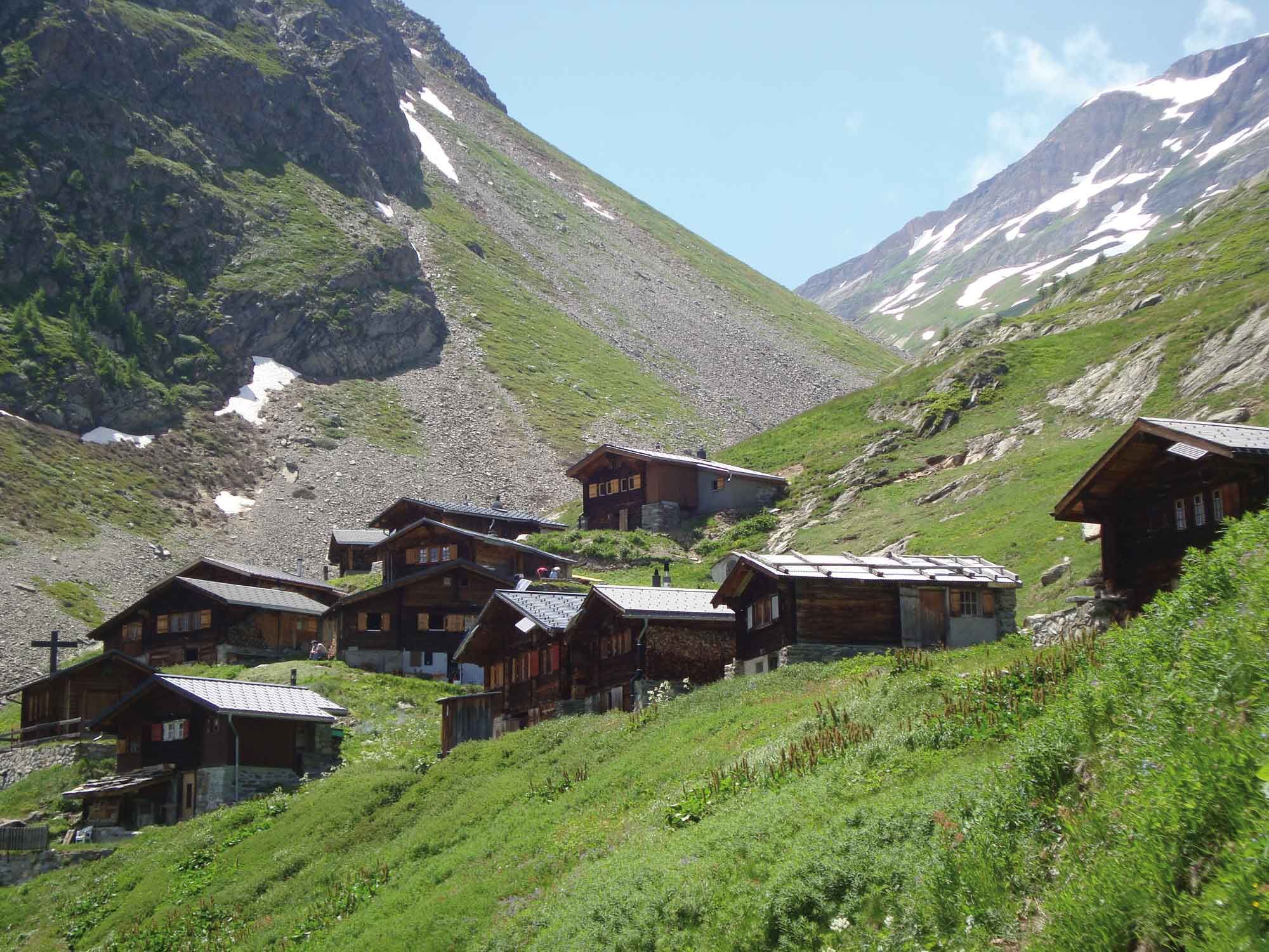
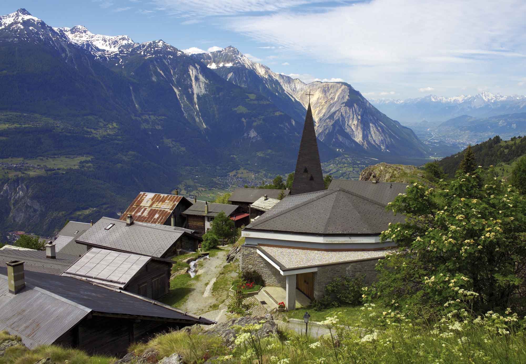
© Lötschental Tourismus - Sandra Stockinger

© Lötschental Tourismus - Sandra Stockinger

© Lötschental Tourismus - Sandra Stockinger

© Lötschental Tourismus - Sandra Stockinger

© Lötschental Tourismus - Sandra Stockinger

© Lötschental Tourismus - Sandra Stockinger

© Lötschental Tourismus - Sandra Stockinger

© Lötschental Tourismus - Sandra Stockinger

© Lötschental Tourismus - Sandra Stockinger

© Lötschental Tourismus - Sandra Stockinger

- Kort beskrivelse
-
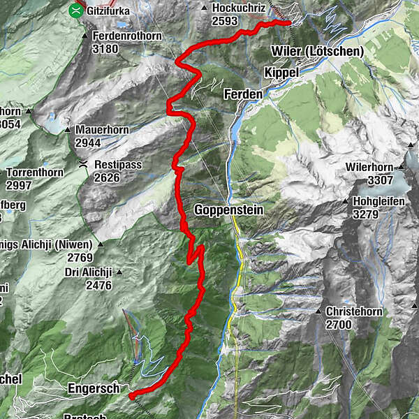
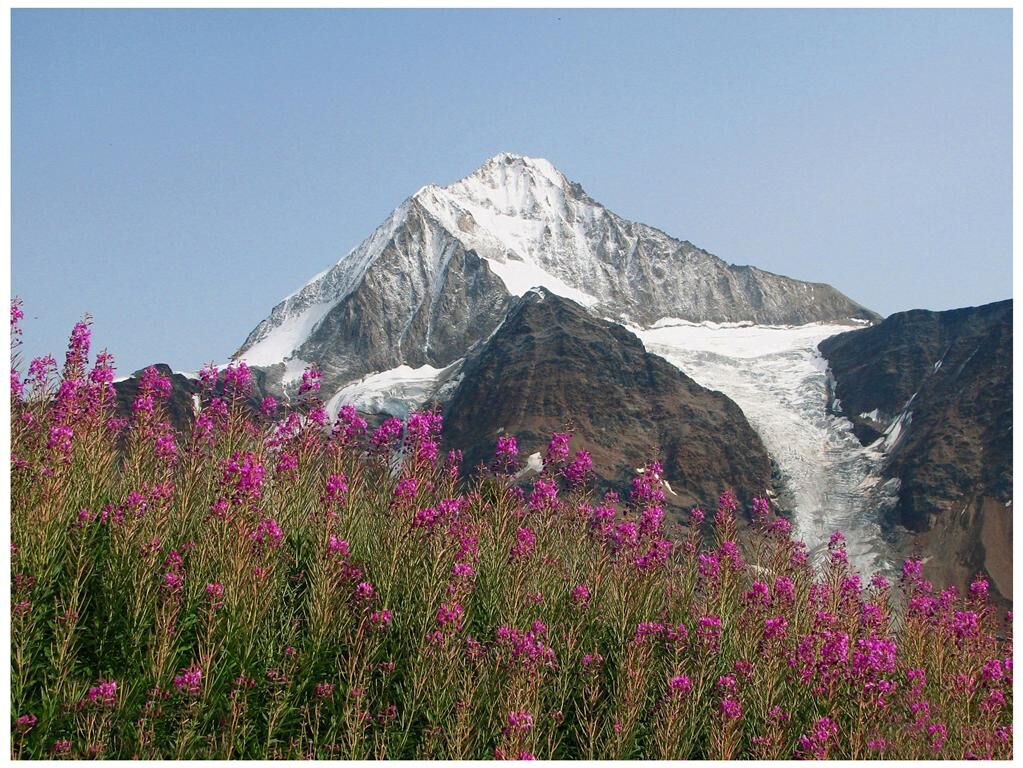
The lesser-known but no less beautiful western section of the Lötschentaler Höhenweg from Lauchernalp via Hockenalp, Kummenalp, Restialp, Faldumalp and Meiggenalp to Jeizinen high above the Rhone Valley.
- Sværhedsgrad
-
medium
- Evaluering
-
- Rute
-
ZudiliGasthaus Kummenalp3,0 kmTrockenalp3,9 kmRestialp4,7 kmFaldumalp (2.035 m)7,8 kmUnderi Meiggu11,5 kmAchermatten16,4 kmChaschtlärä16,4 kmJeizinen (1.525 m)16,5 kmBrumatten16,6 kmBiälti16,6 kmKirche Geburt Mariens16,7 kmJeizinen (Bergstation) (1.525 m)16,7 kmRestaurant Bielti (1.490 m)16,7 kmEggu16,7 kmRestaurant Seilbahn (1.518 m)16,8 km
- Bedste sæson
-
janfebmaraprmajjunjulaugsepoktnovdec
- Højeste punkt
- 2.131 m
- Destination
-
Bergstation Jeizinen
- Højdeprofil
-
 © outdooractive.com


- Forfatter
-
Rundvisningen Lötschentaler Höhenweg Lauchernalp-Jeizinen bruges af outdooractive.com forudsat.
GPS Downloads


Generel information
Forfriskningsstop
Insider-tip
Flora
Lovende
Flere ture i regionerne
-
Oberwallis
1872
-
Lötschental
1075
-
Ferden
199


