

© Valentin Flauraud - Zermatt Tourismus

© Valentin Flauraud - Zermatt Tourismus

© Valentin Flauraud - Zermatt Tourismus

© Valentin Flauraud - Zermatt Tourismus

© Europahütte - Zermatt Tourismus

© Gemeinde Randa - Zermatt Tourismus


- Kort beskrivelse
-
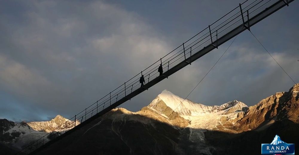
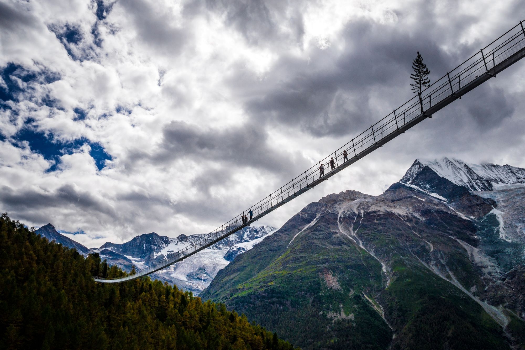
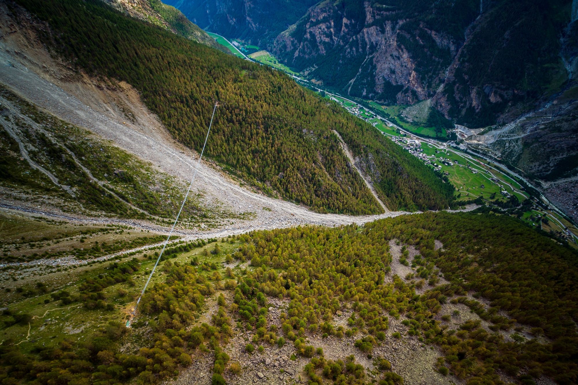
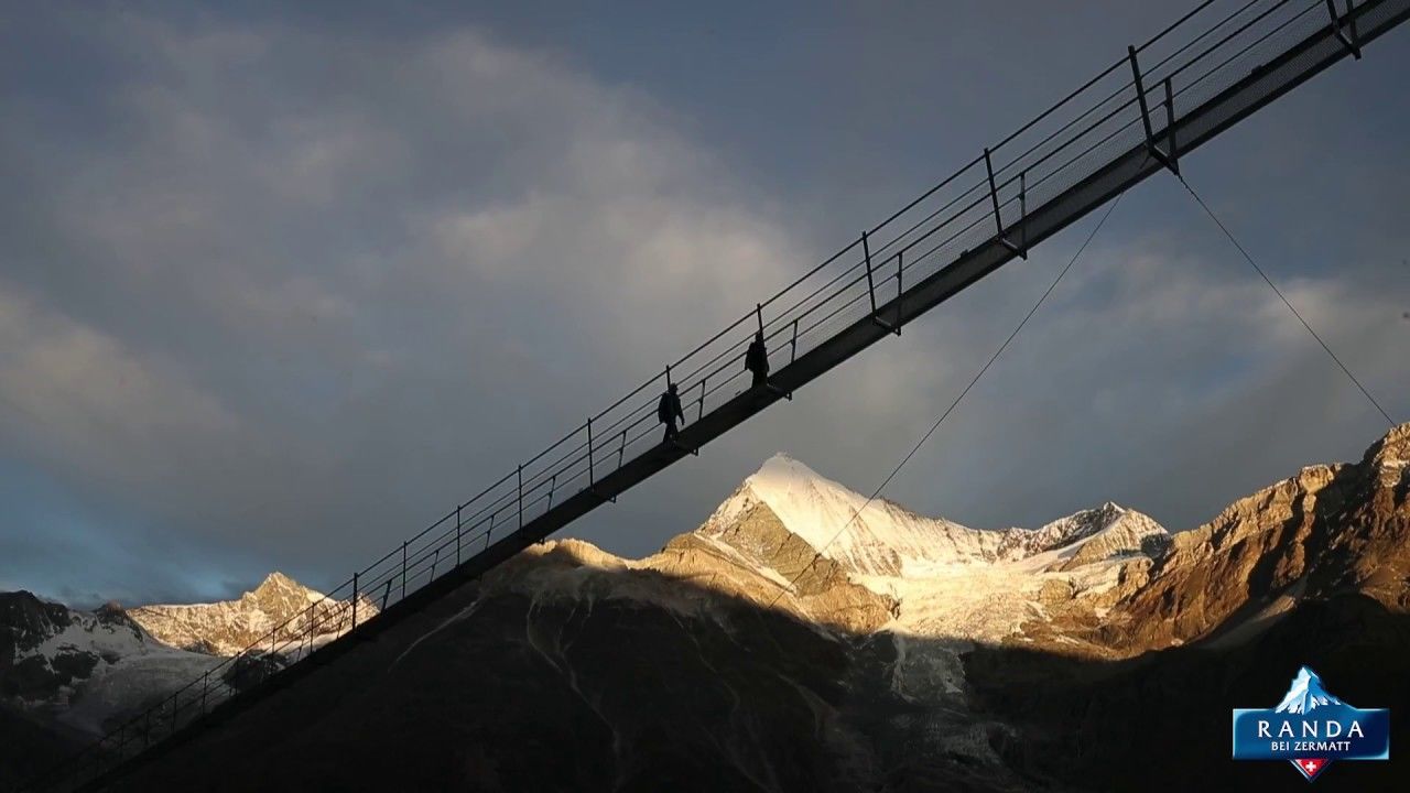
The circular hike to the Randa Suspension Bridge goes through larchwood forests and leads to an imposing record construction: the longest pedestrian suspension bridge in the Alps.
- Sværhedsgrad
-
medium
- Evaluering
-
- Rute
-
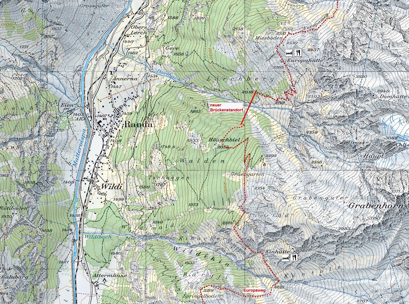
Randa (1.406 m)Treff 4940,3 kmKirche St. Sebastian0,3 kmEuropahütte4,6 kmGere7,0 kmKirche St. Sebastian8,3 kmTreff 4948,3 kmRanda (1.406 m)8,6 km
- Bedste sæson
-
janfebmaraprmajjunjulaugsepoktnovdec
- Højeste punkt
- 2.263 m
- Destination
-
Randa (1,439 m)
- Højdeprofil
-
 © outdooractive.com


- Forfatter
-
Rundvisningen Circular Hike to the Suspension Bridge in Randa (Nr. 69) bruges af outdooractive.com forudsat.
GPS Downloads


Generel information
Forfriskningsstop
Insider-tip
Flora
Fauna
Lovende
Flere ture i regionerne
-
Oberwallis
1872
-
Mattertal
555
-
Täsch
195
")


