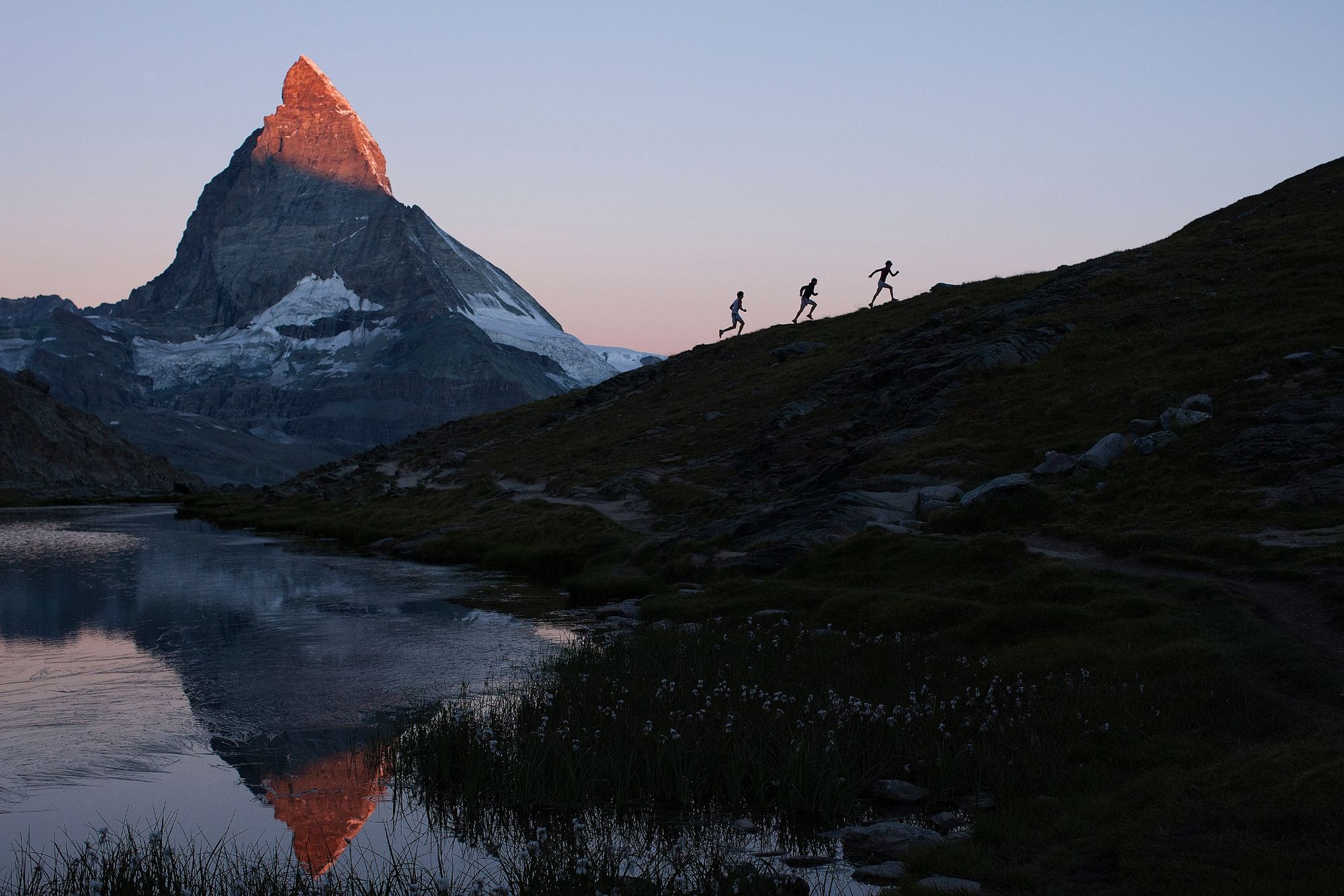
© Unbekannt - Zermatt Tourismus

© Unbekannt - Zermatt Tourismus

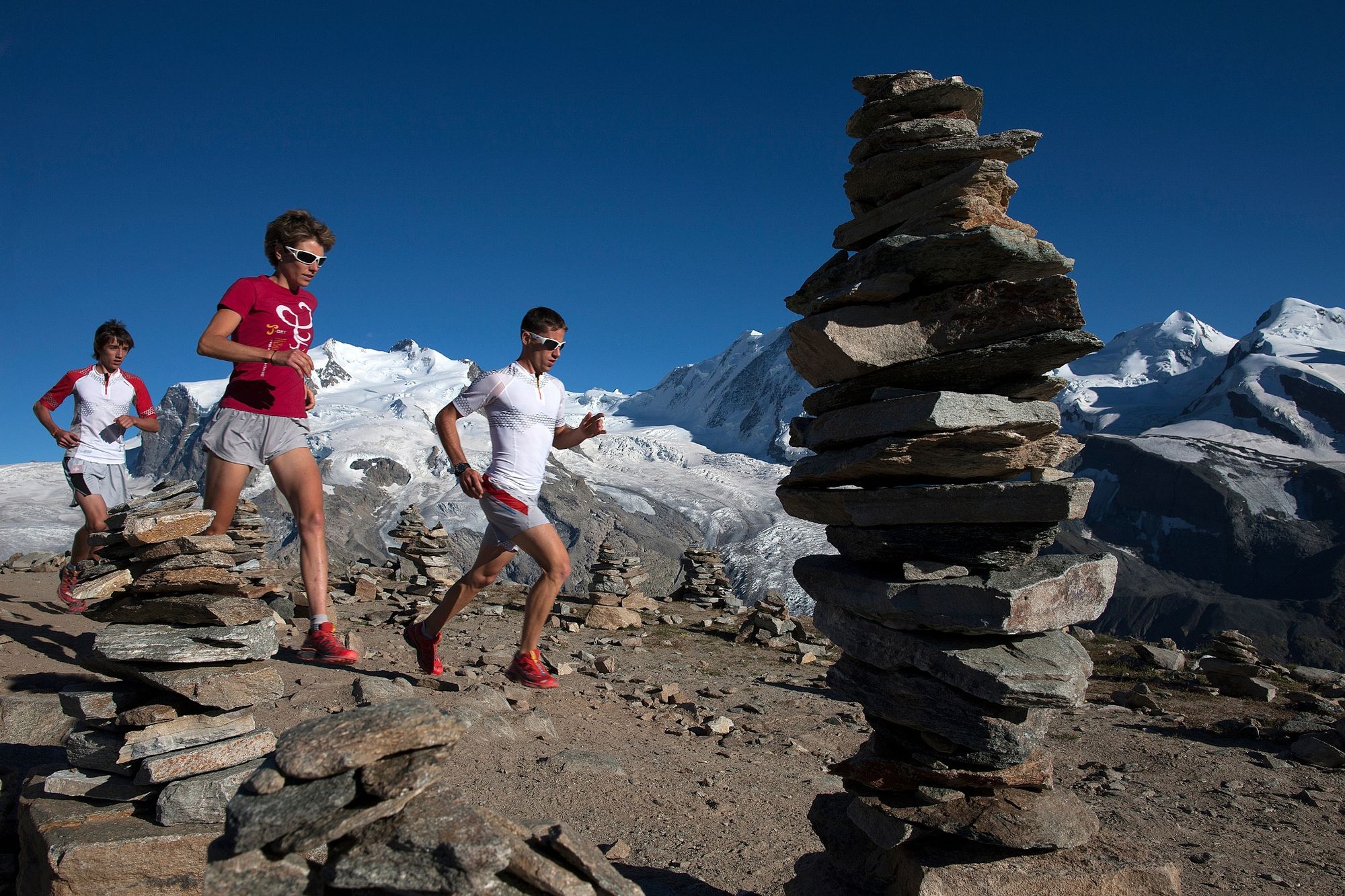
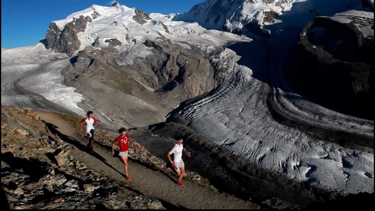
© Matterhorn Ultraks - Zermatt Tourismus


- Kort beskrivelse
-
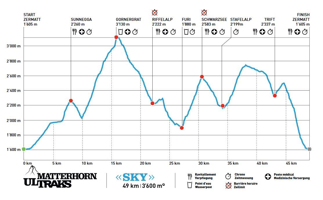
This race pushes the fittest and toughest endurance athletes to the limit: 49 km long, 3,600 vertical metres of ascent and descent, and plenty of challenging terrain. A contest without mercy for diehard runners.
- Sværhedsgrad
-
tung
- Evaluering
-
- Rute
-
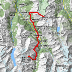
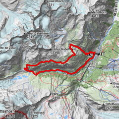
Zermatt (1.608 m)Kirche St. Mauritius0,4 kmOthmar’s Skihütte3,5 kmSunegga (2.277 m)7,8 kmEggen (2.177 m)8,8 kmZe Gassen (2.051 m)9,5 kmGornergrat (3.100 m)16,0 kmVis-à-vis16,2 kmKapelle Gornergrat16,2 kmGornergrat (3.090 m)16,2 kmGornergrat16,4 kmKapelle Riffelberg Bruder Klaus20,0 kmRiffelalp (2.222 m)22,0 kmFuri27,0 kmSchwarzsee paradise30,9 kmSchwarzsee (2.588 m)30,9 kmStafelalp33,7 kmZmuttbachfall35,5 kmBerggasthaus Trift (2.337 m)43,4 kmZermatt (1.608 m)49,7 km
- Bedste sæson
-
janfebmaraprmajjunjulaugsepoktnovdec
- Højeste punkt
- 3.125 m
- Destination
-
Zermatt (1,620 m)
- Højdeprofil
-
 © outdooractive.com
- Forfatter
-
Rundvisningen Matterhorn Ultraks Trail "Sky" bruges af outdooractive.com forudsat.
GPS Downloads
Generel information
Forfriskningsstop
Flora
Fauna
Lovende
Flere ture i regionerne
-
Unterwallis
74
-
Mattertal
34
-
Zermatt
14