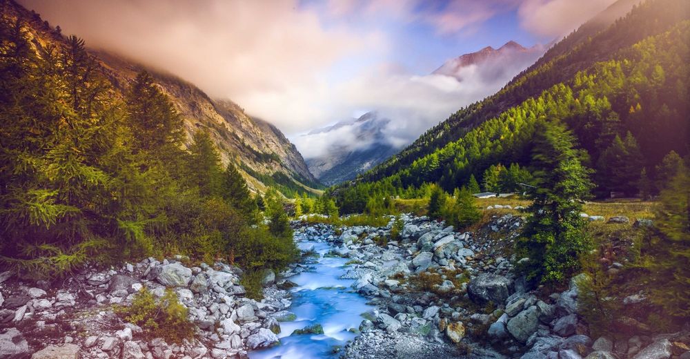
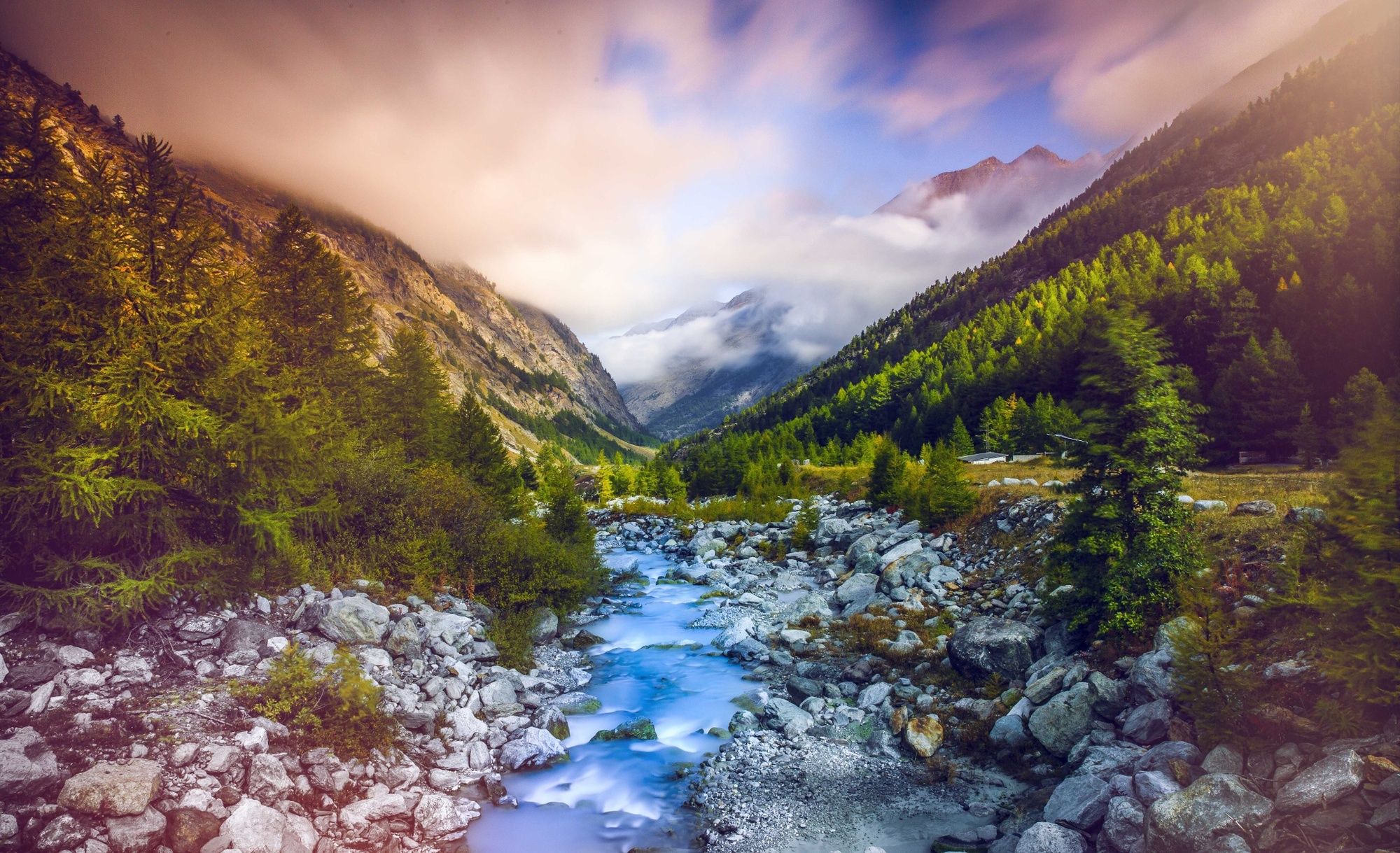
© Valais/Wallis Promotion - Christian Pfammatter

- Kort beskrivelse
-
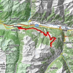
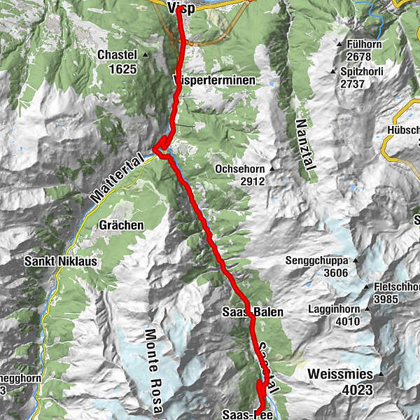
Starting out from Visp, you follow the same road that leads to the Mattmark dam as far as the village of Saas-Grund. Turning off to the right, three kilometres of continual climbing brings you to the village of Saas-Fee, whose streets are reserved exclusively for pedestrians and electric vehicles.
- Sværhedsgrad
-
medium
- Evaluering
-
- Rute
-
Visp (658 m)0,3 kmWildi1,3 kmStundhüs Sefinot2,7 kmNeubrück4,6 kmMilachru5,2 kmAckersand5,7 kmAckersand5,8 kmHohlgässi7,8 kmStalden VS7,9 kmIllas9,2 kmEisten13,5 kmTirbelwang (1.200 m)14,7 kmNiedergut18,8 kmEnzian19,5 kmLehn19,5 kmZum kostbaren Blut19,5 kmBurg19,5 kmDorf19,5 kmSaas-Balen19,5 kmHollerbiel19,6 kmLittle India19,6 kmAntoniuskapelle21,2 kmSaas-Grund22,2 kmWalliser Stube22,3 kmTenne22,6 kmSankt Bartholomäus22,9 kmSchliechte25,4 kmWildi25,6 kmHogiblätt26,2 km
- Bedste sæson
-
janfebmaraprmajjunjulaugsepoktnovdec
- Højeste punkt
- 1.805 m
- Destination
-
Saas Fee
- Højdeprofil
-
 © outdooractive.com
- Forfatter
-
Rundvisningen Saas-Fee - Scenic & side valleys bruges af outdooractive.com forudsat.
GPS Downloads


Generel information
Forfriskningsstop
Kulturel/Historisk
Insider-tip
Flora
Fauna
Lovende
Flere ture i regionerne
-
Oberwallis
120
-
Saastal
23
-
Staldenried - Gspon
6