© Alpine Trails GmbH - Andy Lloyd

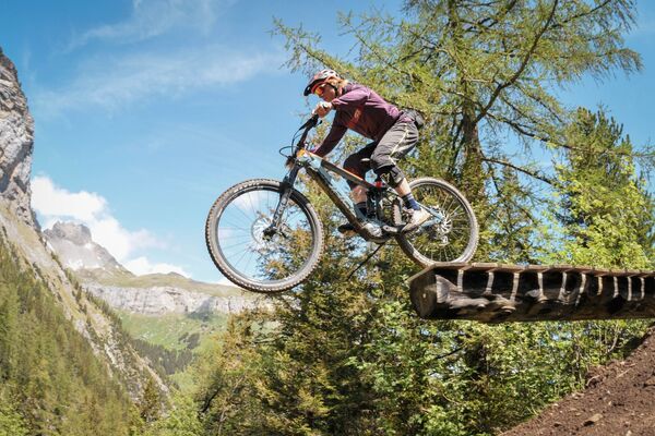
© Alpine Trails GmbH - Jan Oggier
- Kort beskrivelse
-
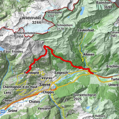
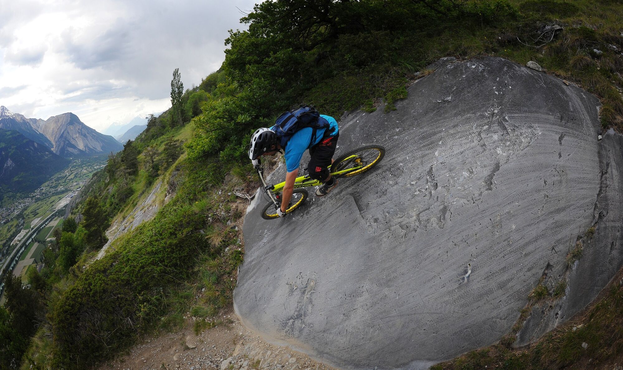
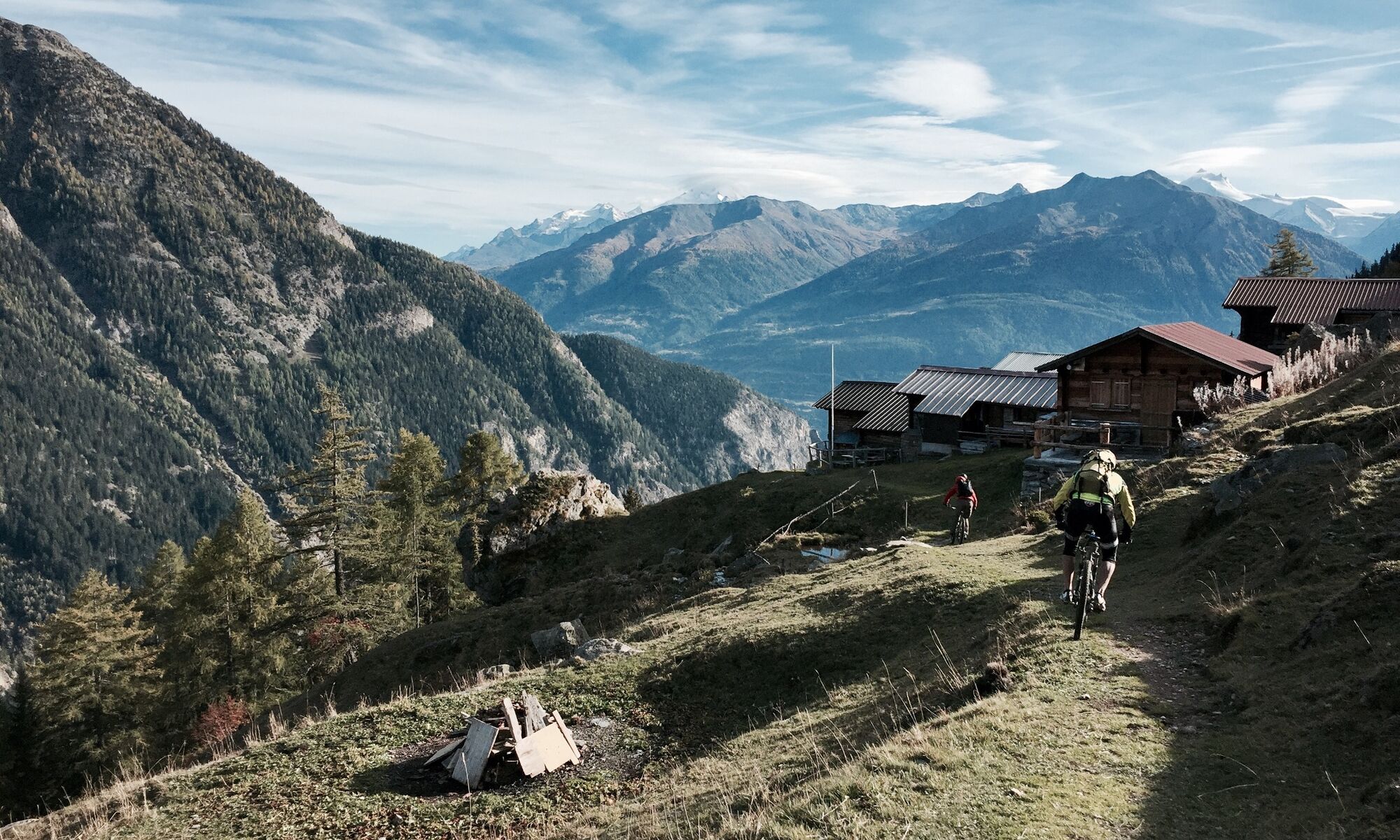
The Jeizibärg route is the perfect tour for lovers of natural trails amid beautiful scenery. The combination of flow and rocky sections makes it unique.
- Sværhedsgrad
-
tung
- Evaluering
-
- Rute
-
Restaurant Seilbahn (1.518 m)Eggu0,0 kmRestaurant Bielti (1.490 m)0,0 kmBiälti0,0 kmJeizinen (1.525 m)0,0 kmKirche Geburt Mariens0,1 kmBrumatten0,2 kmRestaurant Park (1.532 m)0,3 kmRossmatten0,3 kmAchermatten0,4 kmTuru2,0 kmAllmeibodu2,3 kmBrällä3,3 kmUnderi Fäsilalpu4,6 kmRestaruant Trächu Hittu4,6 kmStafel (Oberi Fäsilalpu) (2.205 m)6,2 kmHeruhubel (2.293 m)7,0 kmOberi Meiggu8,5 kmUnderi Meiggu10,7 kmAchermatten15,7 kmChaschtlärä15,8 kmJeizinen (1.525 m)15,9 kmRestaurant Park (1.532 m)15,9 kmBrumatten16,0 kmJeizinen SJN (1.530 m)16,2 kmTrogachra16,4 kmEngersch17,3 kmErschmatt (1.228 m)19,3 kmRoggen Stube19,4 kmTschingel22,7 kmNiedergampel22,8 kmBurketen22,9 kmTraube23,0 kmGampel24,8 km
- Bedste sæson
-
janfebmaraprmajjunjulaugsepoktnovdec
- Højeste punkt
- 2.309 m
- Destination
-
Gampel (634 m)
- Højdeprofil
-
 © outdooractive.com
-
-
ForfatterRundvisningen Jeizibärg Bike bruges af outdooractive.com forudsat.
GPS Downloads


Veje
Forsøg
Generel information
Forfriskningsstop
Kulturel/Historisk
Insider-tip
Lovende
Flere ture i regionerne
-
Oberwallis
211
-
Gampel-Bratsch
116
-
Steg-Hohtenn
44