

© ZERMATTERS - Zermatt Tourismus

© Berggasthaus Trift - Zermatt Tourismus

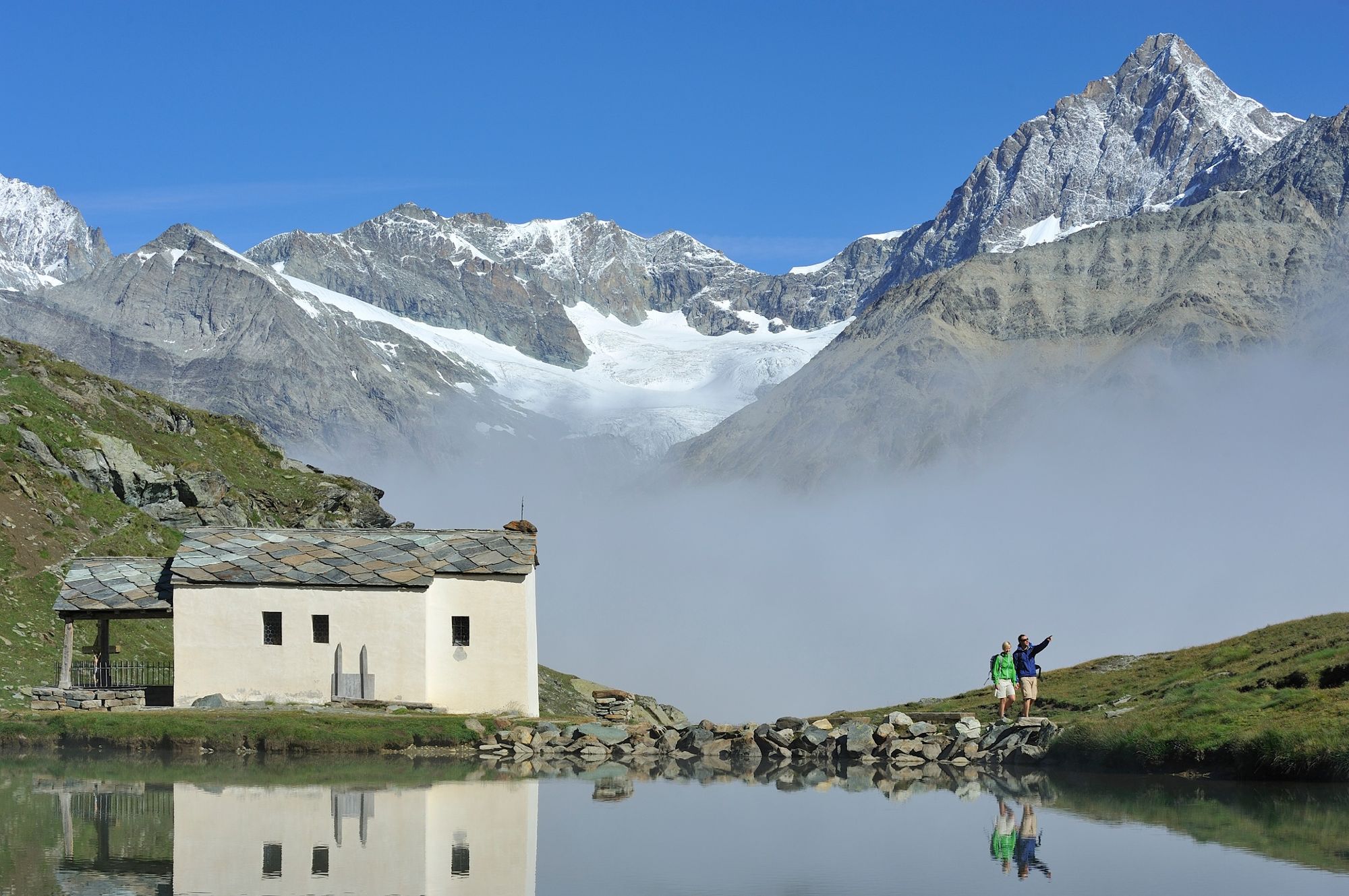
© Schönbiel Hütte - Zermatt Tourismus

© Michael Portmann - Zermatt Tourismus

© Michael Portmann - Zermatt Tourismus

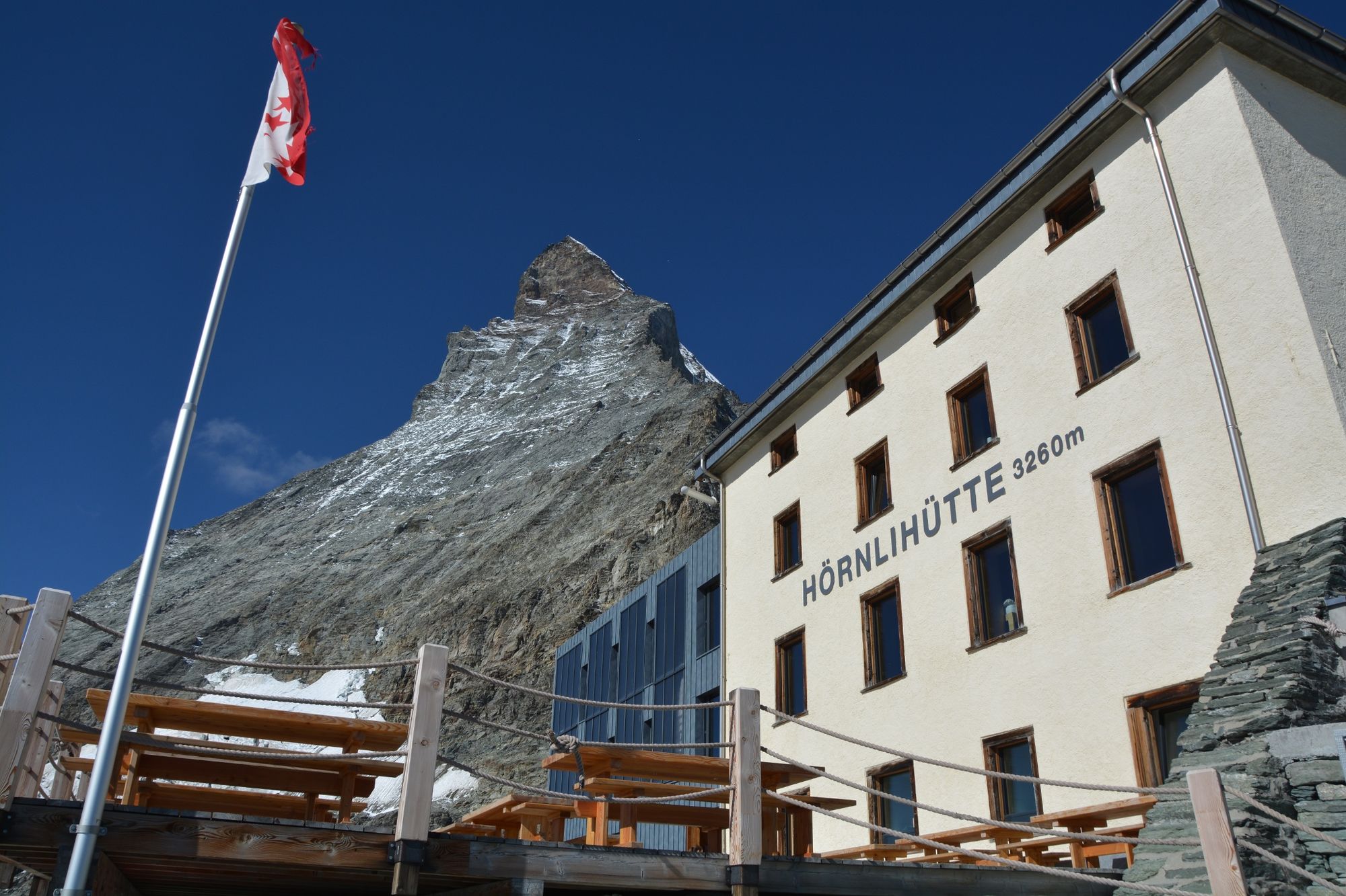
© Hörnlihütte - Zermat Tourismus

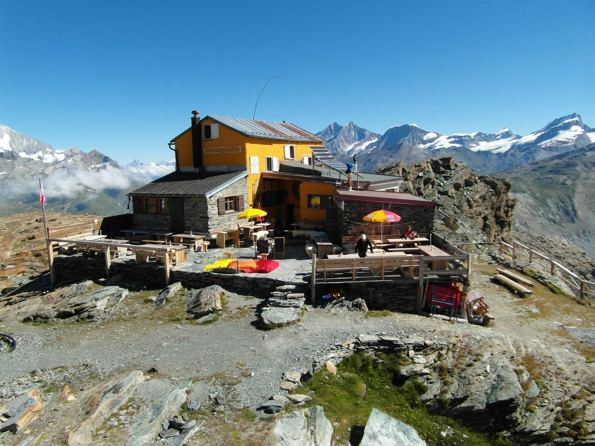
© Zermatt - Matterhorn - Gandegghütte

© Zermatt Tourismus - Matterhorn Trek

- Kort beskrivelse
-
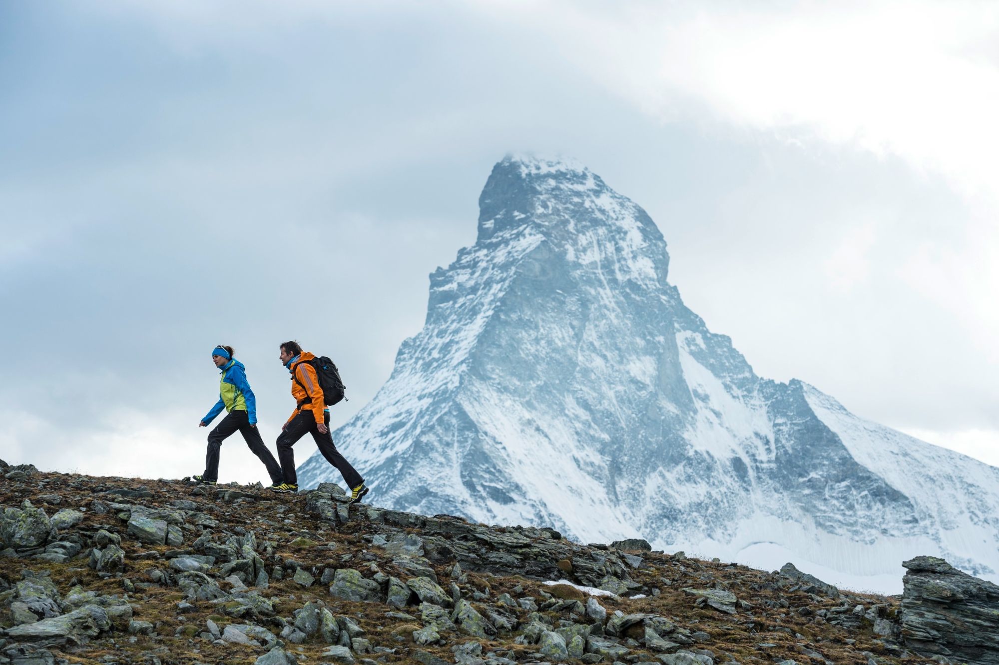
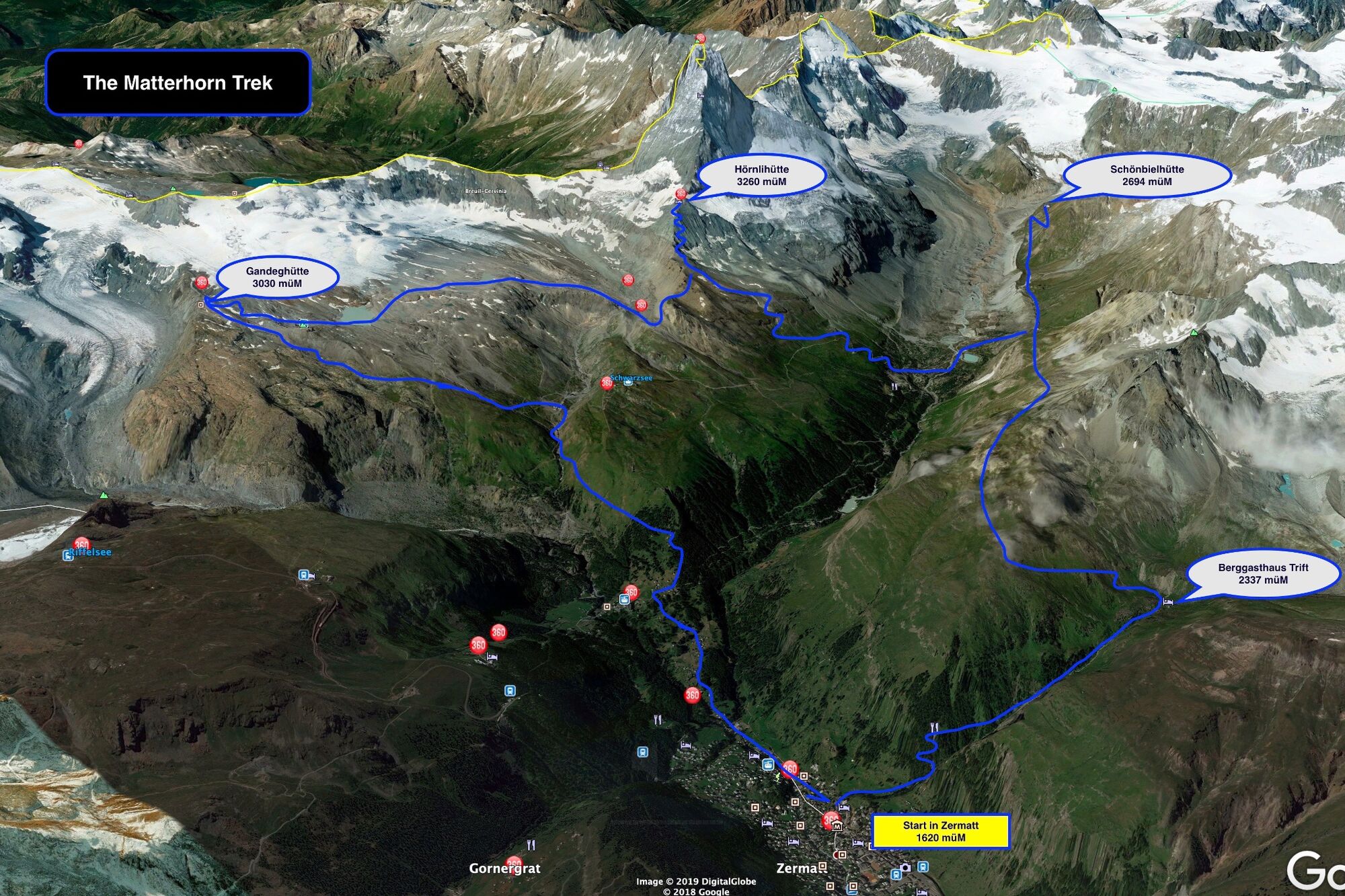
Hut trekking in the mountain paradise surrounding Zermatt leads over Alpine meadows and up into the high Alpine landscape. In 4 to 6-hour stages, the route over 5 days is from hut to hut through the Zermatt mountain world.
- Sværhedsgrad
-
tung
- Evaluering
-
- Rute
-
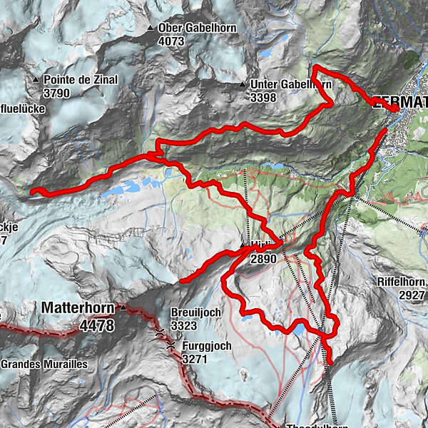
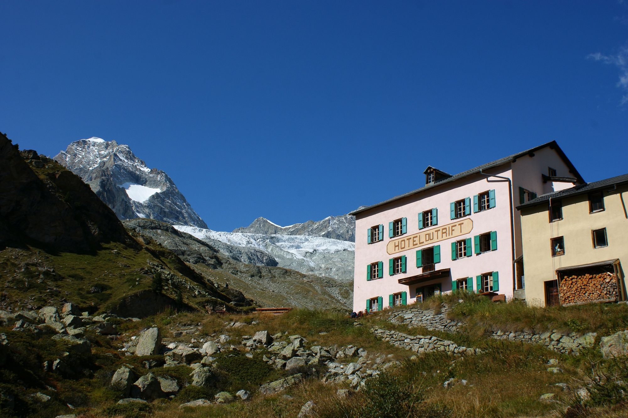
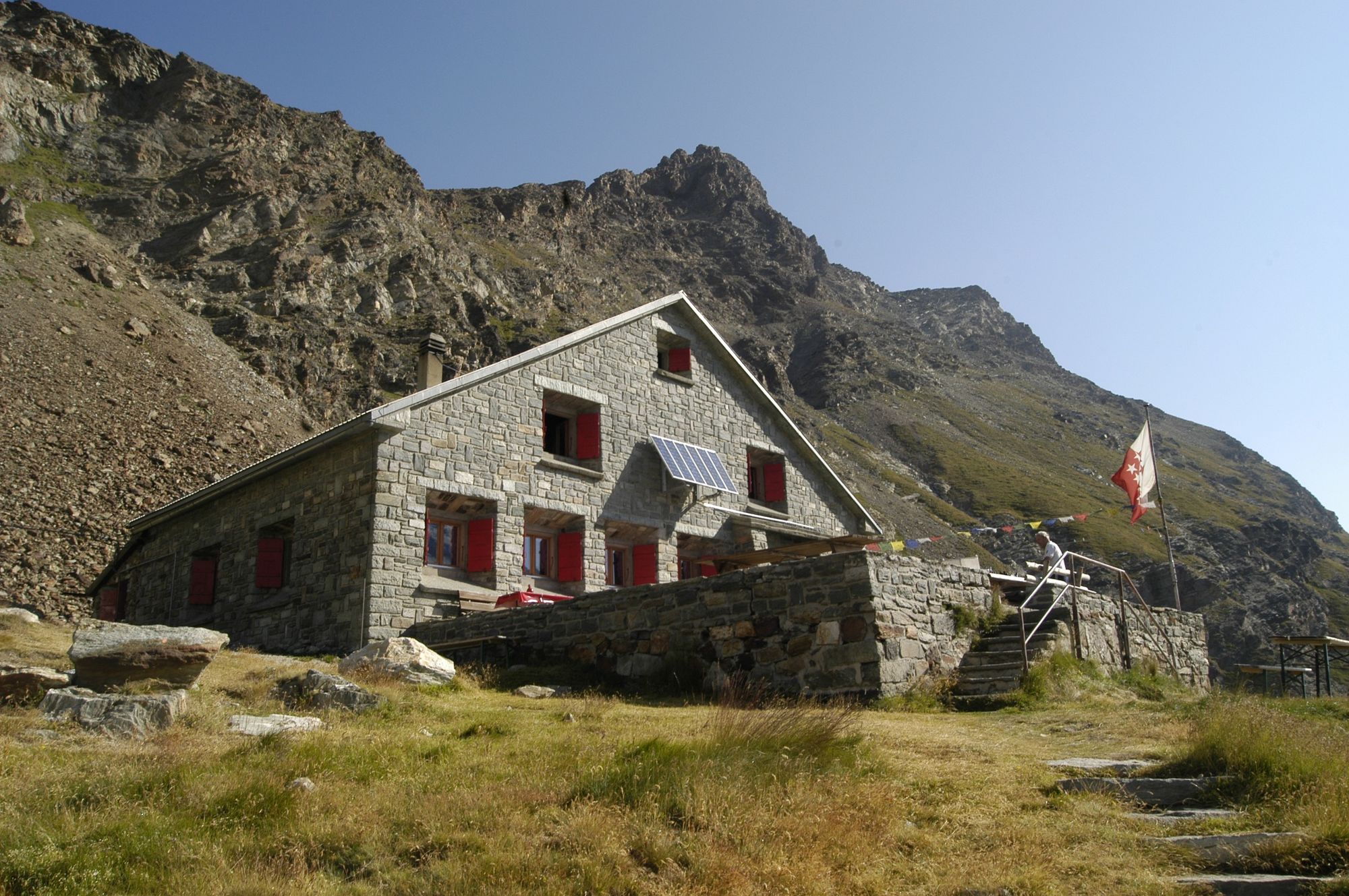
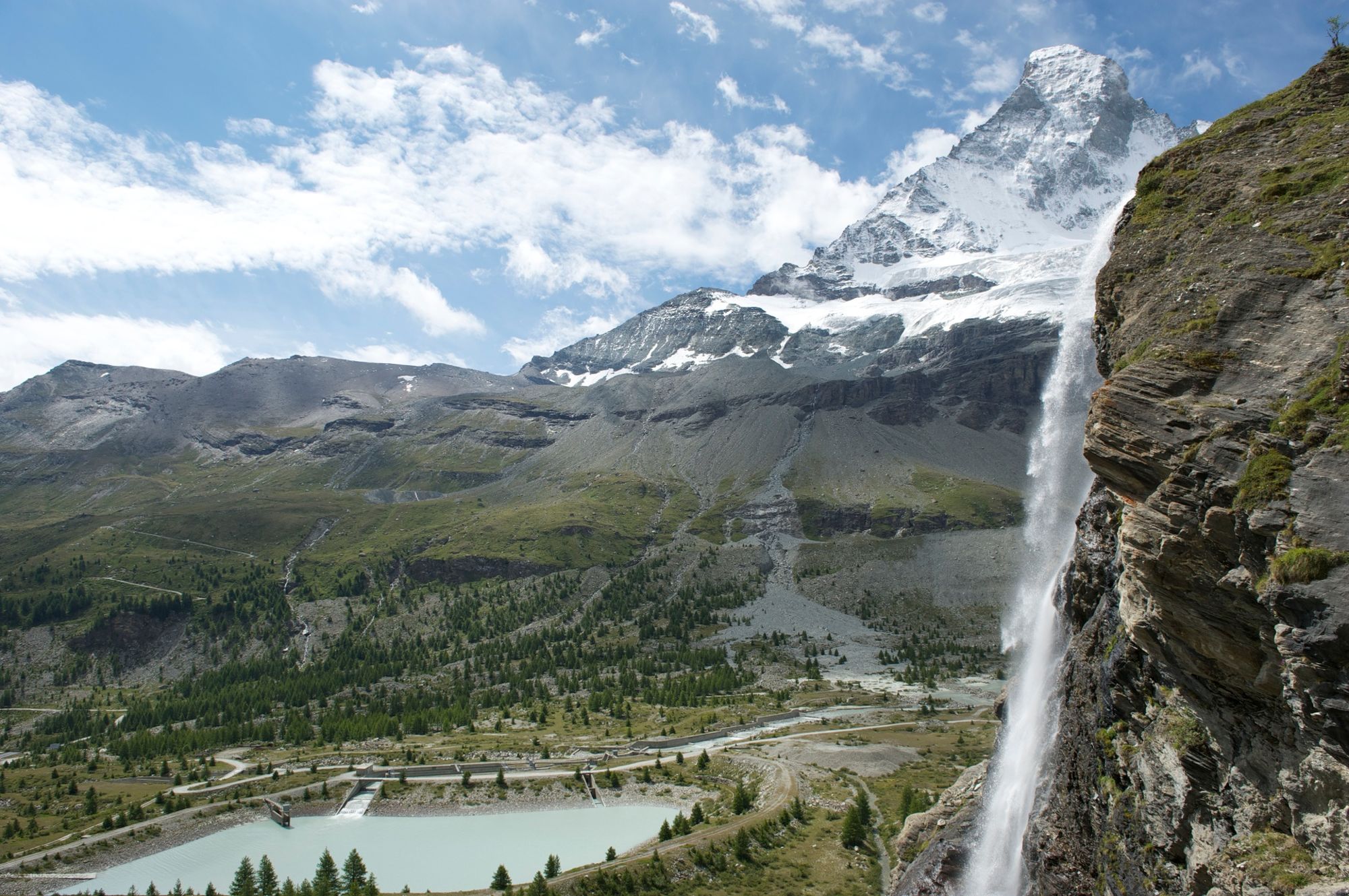
Zermatt (1.608 m)Berggasthaus Trift (2.337 m)3,6 kmSchönbielhütte SAC (2.694 m)14,9 kmZmuttbachfall18,9 kmStafelalp20,9 kmSchwarzsee (2.588 m)23,7 kmHörnlihütte (3.260 m)27,9 kmHirli (2.769 m)30,9 kmGandegghütte36,9 kmFuri43,8 kmZum See44,5 kmBlatten44,9 kmZermatt (1.608 m)46,0 km
- Bedste sæson
-
janfebmaraprmajjunjulaugsepoktnovdec
- Højeste punkt
- 3.253 m
- Destination
-
Zermatt (1,620 m)
- Højdeprofil
-
 © outdooractive.com
- Forfatter
-
Rundvisningen The Matterhorn Trek bruges af outdooractive.com forudsat.
GPS Downloads


Generel information
Forfriskningsstop
Insider-tip
Flora
Fauna
Lovende
Flere ture i regionerne
-
Unterwallis
1194
-
Mattertal
555
-
Zermatt
154


