© Multimediafabrik GmbH - 360ty.world
- Kort beskrivelse
-
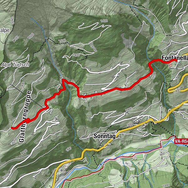
Winter hiking along the municipal road to the districts of Mittelberg and Türtsch in Fontanella.
- Sværhedsgrad
-
let
- Evaluering
-
- Rute
-
Pfarrkirche Hl. SebastianFontanella (1.145 m)0,0 kmPfarrkirche Hl. Sebastian6,6 kmFontanella (1.145 m)6,6 km
- Bedste sæson
-
augsepoktnovdecjanfebmaraprmajjunjul
- Højeste punkt
- 1.249 m
- Destination
-
Village centre, Fontanella
- Højdeprofil
-


- Forfatter
-
Rundvisningen Mittelberg - Türtsch | Fontanella bruges af outdooractive.com forudsat.
GPS Downloads


Generel information
Lovende
Flere ture i regionerne