

© Alpenregion Bludenz Tourismus GmbH - Martin Caldonazzi

© Alpenregion Bludenz Tourismus GmbH - Martin Caldonazzi

© Alpenregion Bludenz Tourismus GmbH - Martin Caldonazzi

© Alpenregion Bludenz Tourismus GmbH - Melanie Fleisch

© Alpenregion Bludenz Tourismus GmbH - Martin Caldonazzi

© Vorarlberg Tourismus GmbH
- Kort beskrivelse
-
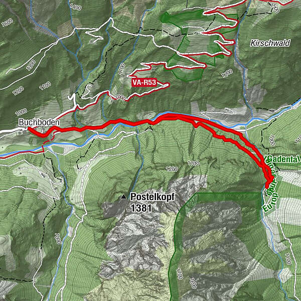
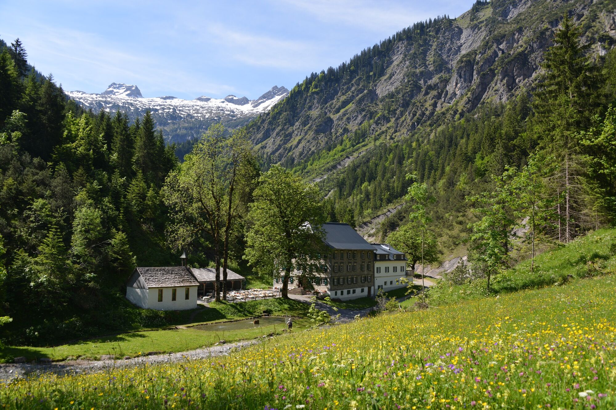
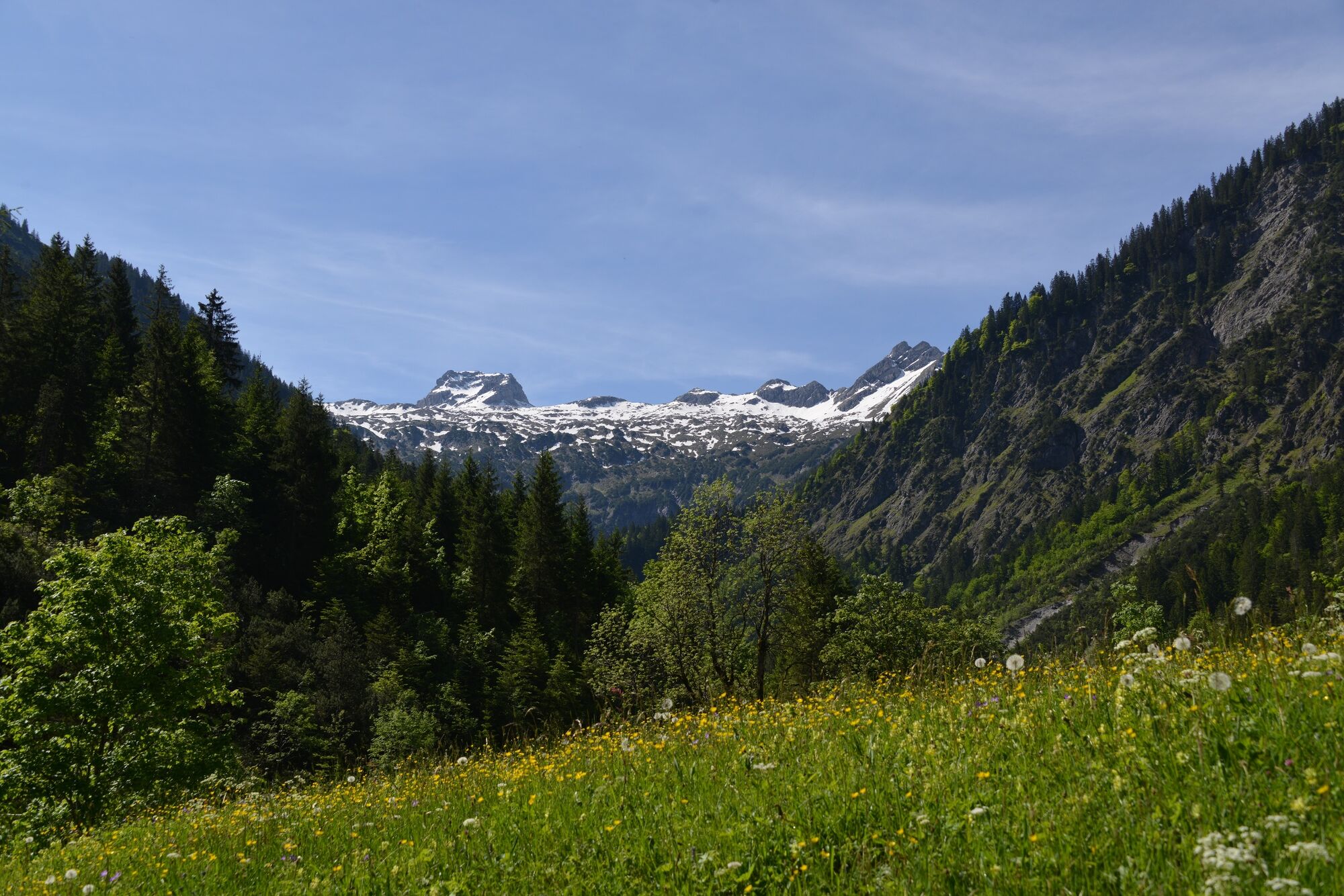
Enjoy the hike into the valley along the stream to the beautifully situated alpine inn Bad Rothenbrunnen in the Gadental valley.
- Sværhedsgrad
-
let
- Evaluering
-
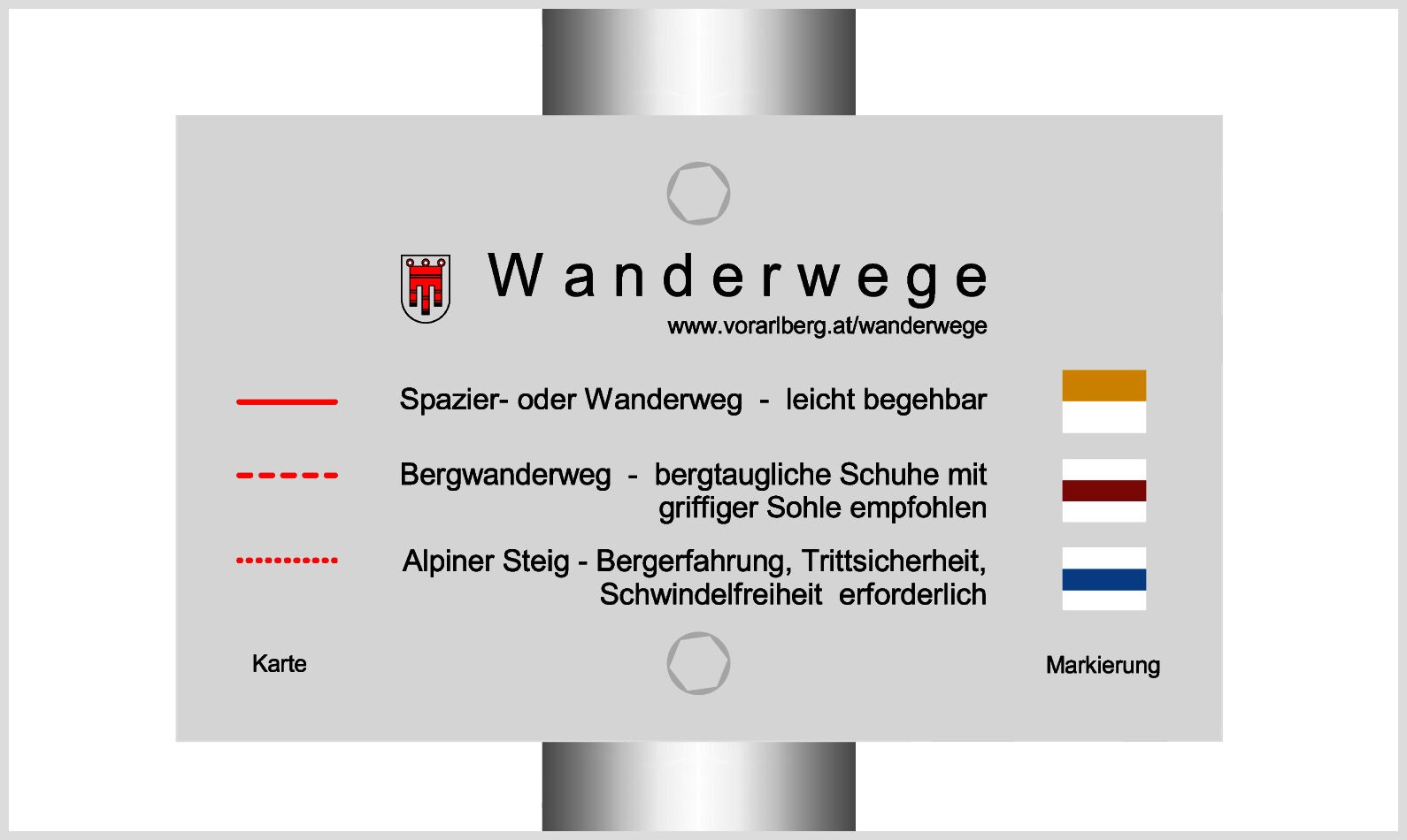
- Rute
-
KreuzBuchboden0,1 kmBad Rothenbrunnen2,6 kmMarienkapelle2,6 kmBuchboden5,0 kmKreuz5,1 km
- Bedste sæson
-
janfebmaraprmajjunjulaugsepoktnovdec
- Højeste punkt
- 1.009 m
- Destination
-
Church, Sonntag-Buchboden
- Højdeprofil
-


- Forfatter
-
Rundvisningen Bad Rothenbrunnen | Sonntag-Buchboden bruges af outdooractive.com forudsat.
GPS Downloads


Generel information
Forfriskningsstop
Kulturel/Historisk
Insider-tip
Lovende
Flere ture i regionerne


