

© Vorarlberg Tourismus - Martin Vogel

© Bregenzerwald Tourismus - Janik Vith

- Kort beskrivelse
-
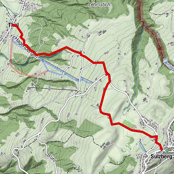
Sulzberg Ortsmitte - Gschwend - Thal
- Sværhedsgrad
-
let
- Evaluering
-
- Rute
-
SulzbergThal3,7 km
- Bedste sæson
-
janfebmaraprmajjunjulaugsepoktnovdec
- Højeste punkt
- 1.001 m
- Destination
-
Thal Ortsmitte
- Højdeprofil
-


- Forfatter
-
Rundvisningen Sulzberg | Von Sulzberg nach Thal bruges af outdooractive.com forudsat.
GPS Downloads


Generel information
Forfriskningsstop
Lovende
Flere ture i regionerne
-
Allgäu
2357
-
Westallgäu
1263
-
Sulzberg
640


