
- Kort beskrivelse
-
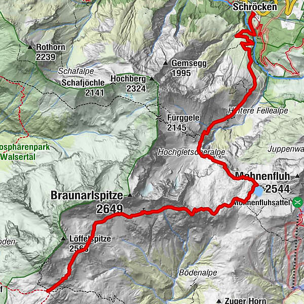
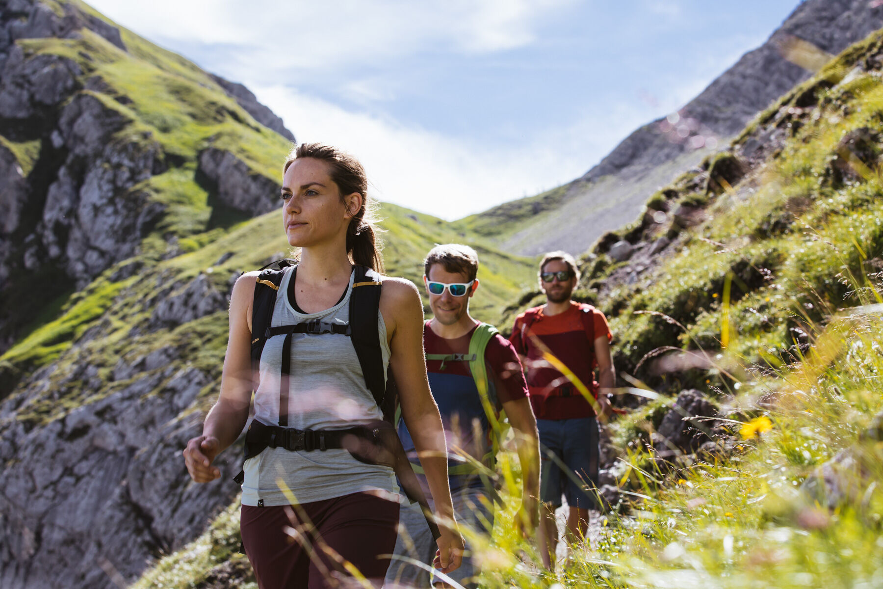
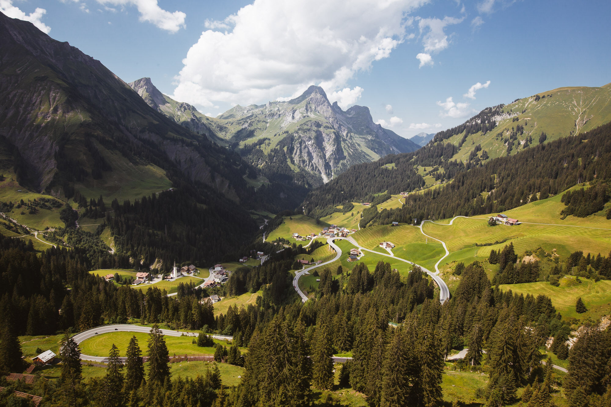
The path starts right from the Hotel Mohnenfluh and takes you along the road through the gorge of the Bregenzerache to the Alpe Felle. After 300 m the narrow path on the right side climb the serpentines. Continue to the rear Fellealpe and to the right climb steeper and steeper to the waterfalls. Now, to the left below the high glacier, follow the serpentines to the entrance of the Jägersteig. With the help of the safety rope you cross the Jägersteig through the first gorge and then through the partly wet-slippery gutter. They run between the cushioned plants covered rocks in increasingly scarce landscape. Along the trail you reach the picturesque Butzensee, which you pass on the right and walk past the Braunarlspitze to the Göppinger Hütte.
- Sværhedsgrad
-
tung
- Evaluering
-
- Rute
-
Schröcken (1.269 m)Materialseilbahn Körbersee0,0 kmGöppinger Hütte10,6 km
- Bedste sæson
-
janfebmaraprmajjunjulaugsepoktnovdec
- Højeste punkt
- 2.430 m
- Destination
-
Göppinger Hütte
- Højdeprofil
-

- Forfatter
-
Rundvisningen From Schröcken to the Göppinger Hütte bruges af outdooractive.com forudsat.