
© www.guideservice.at - Erich Zucalli
© www.guideservice.at - Erich Zucalli
© www.guideservice.at - Erich Zucalli
© www. guideservice.at - Erich Zucalli

© www.guideservice.at - Erich Zucalli
© www.guideservice.at - Erich Zucalli
© www.guideservice.at - Erich Zucalli
© www.guideservice.at - Erich Zucalli
© www.guideservice.at - Erich Zucalli
© www.guideservice.at - Erich Zucalli

- Kort beskrivelse
-
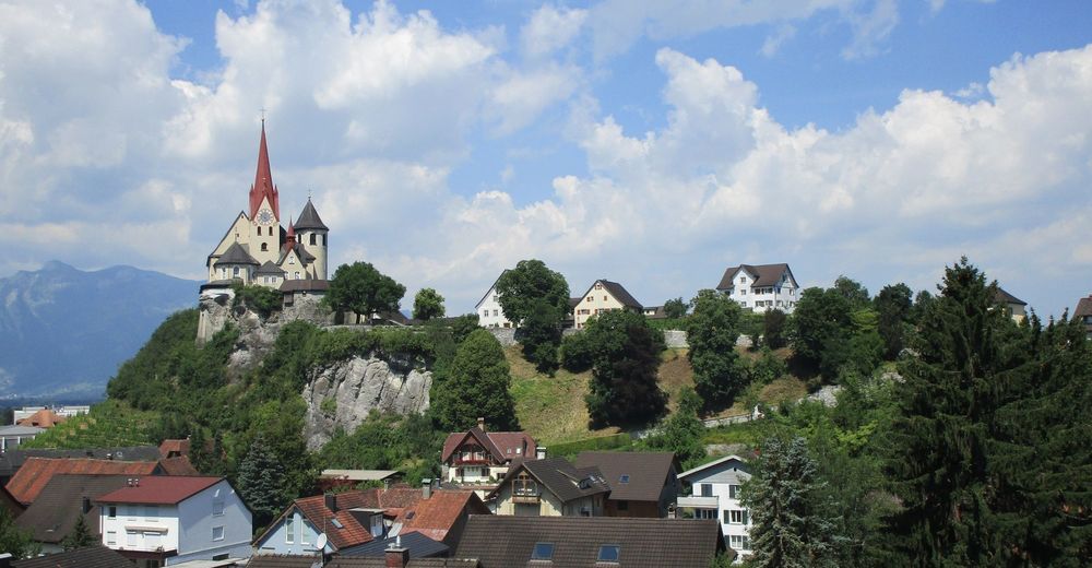
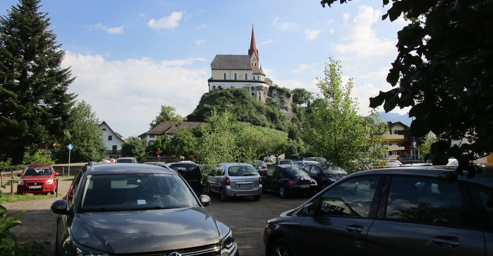
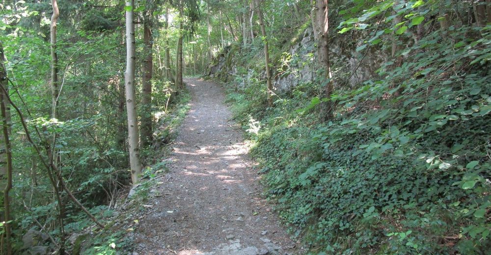
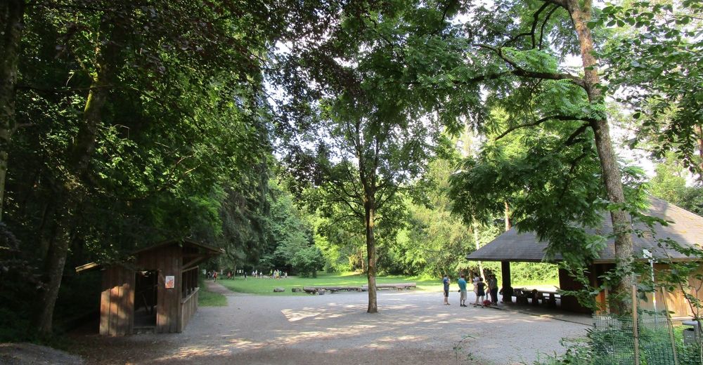
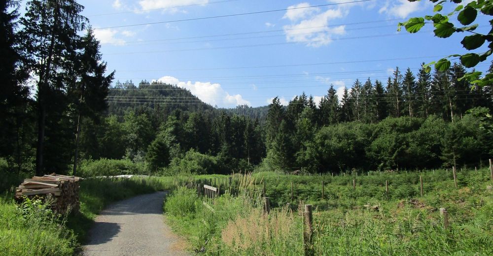
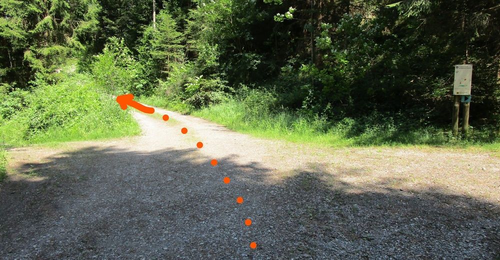
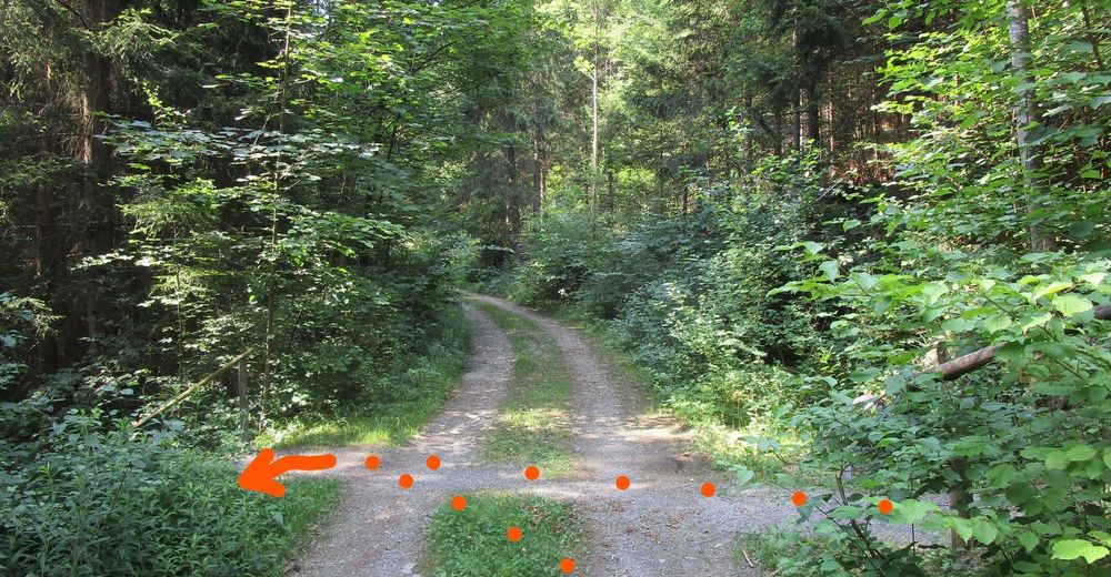
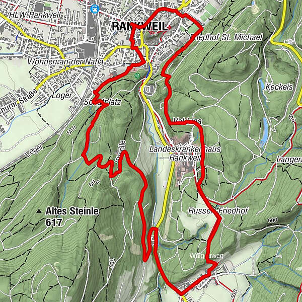
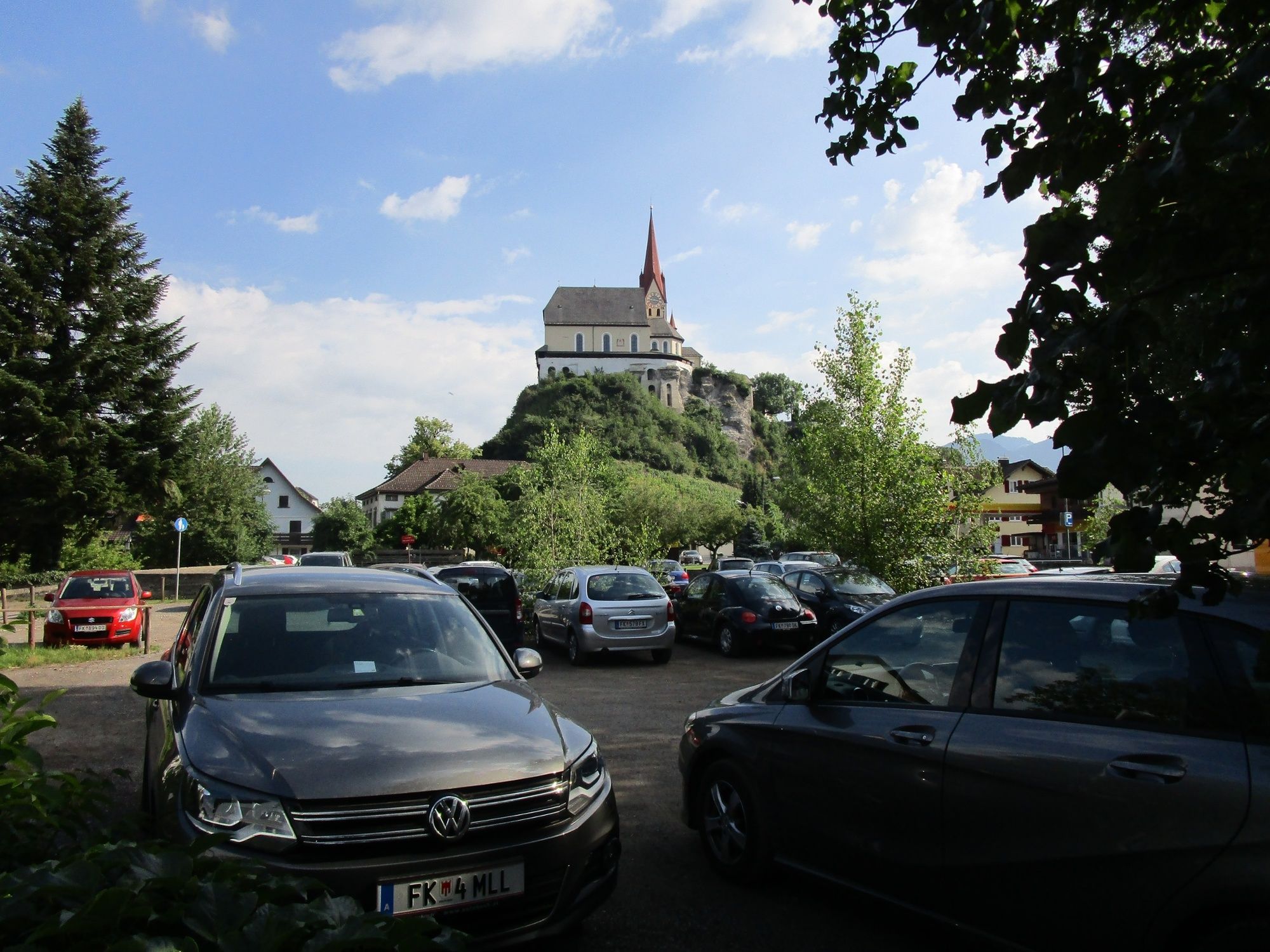
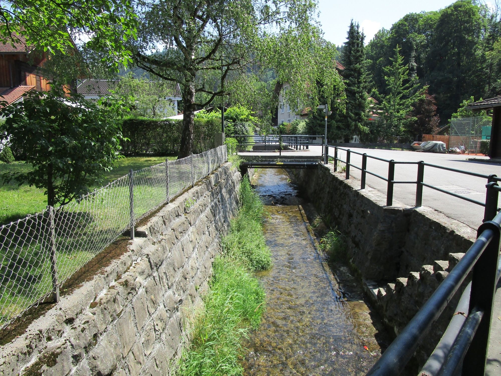
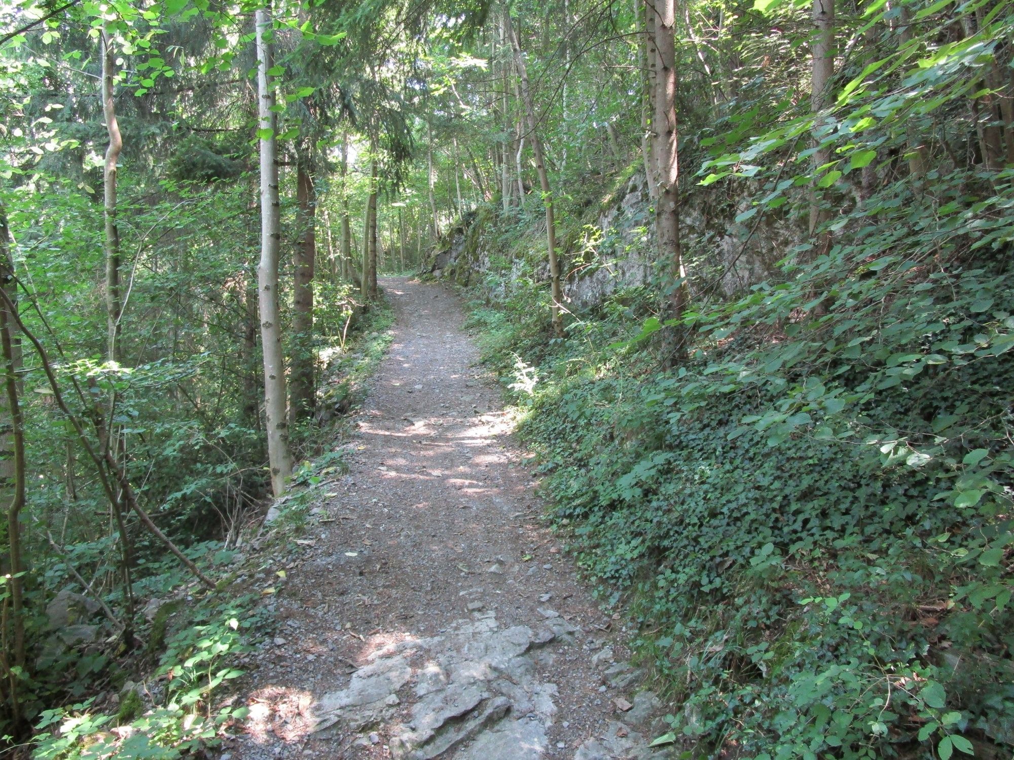
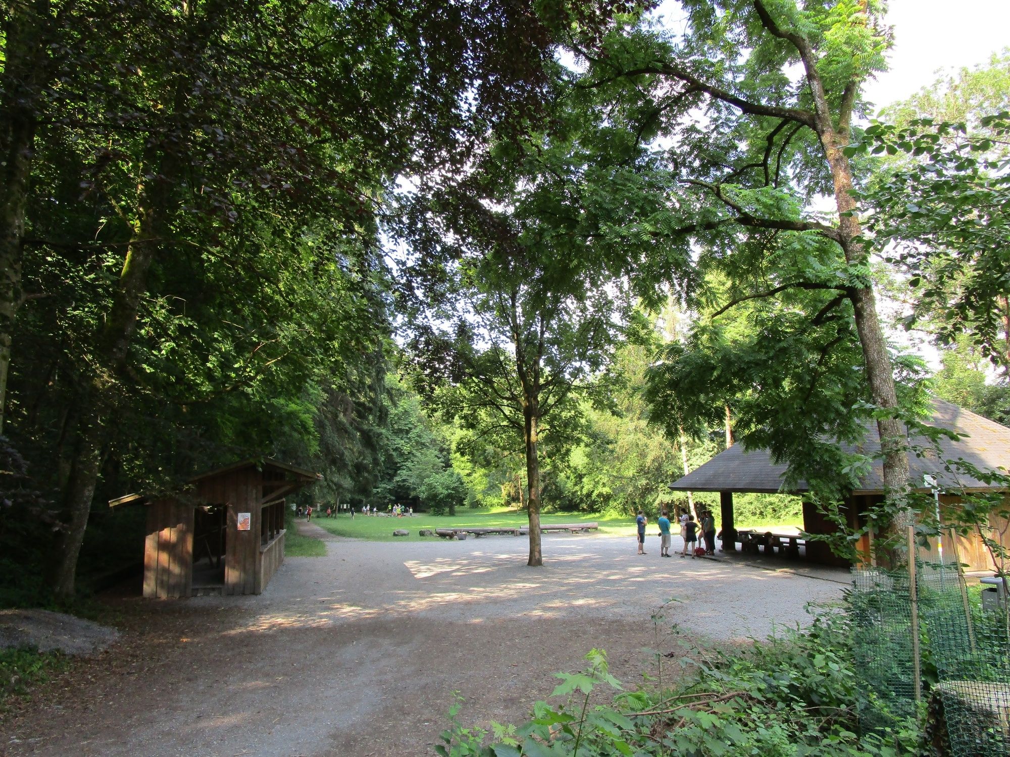
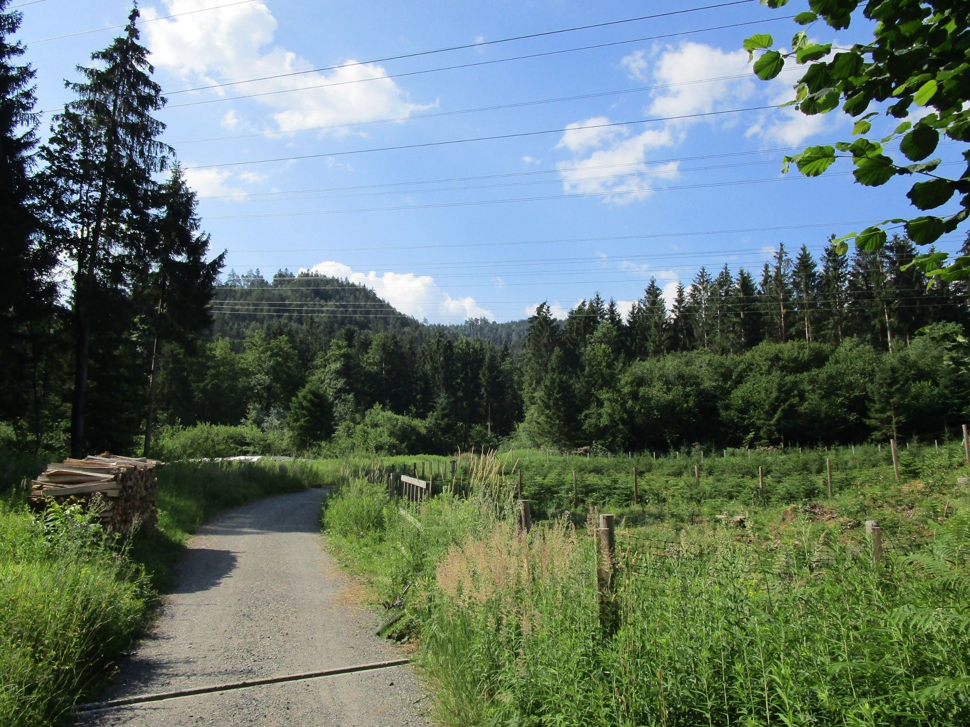
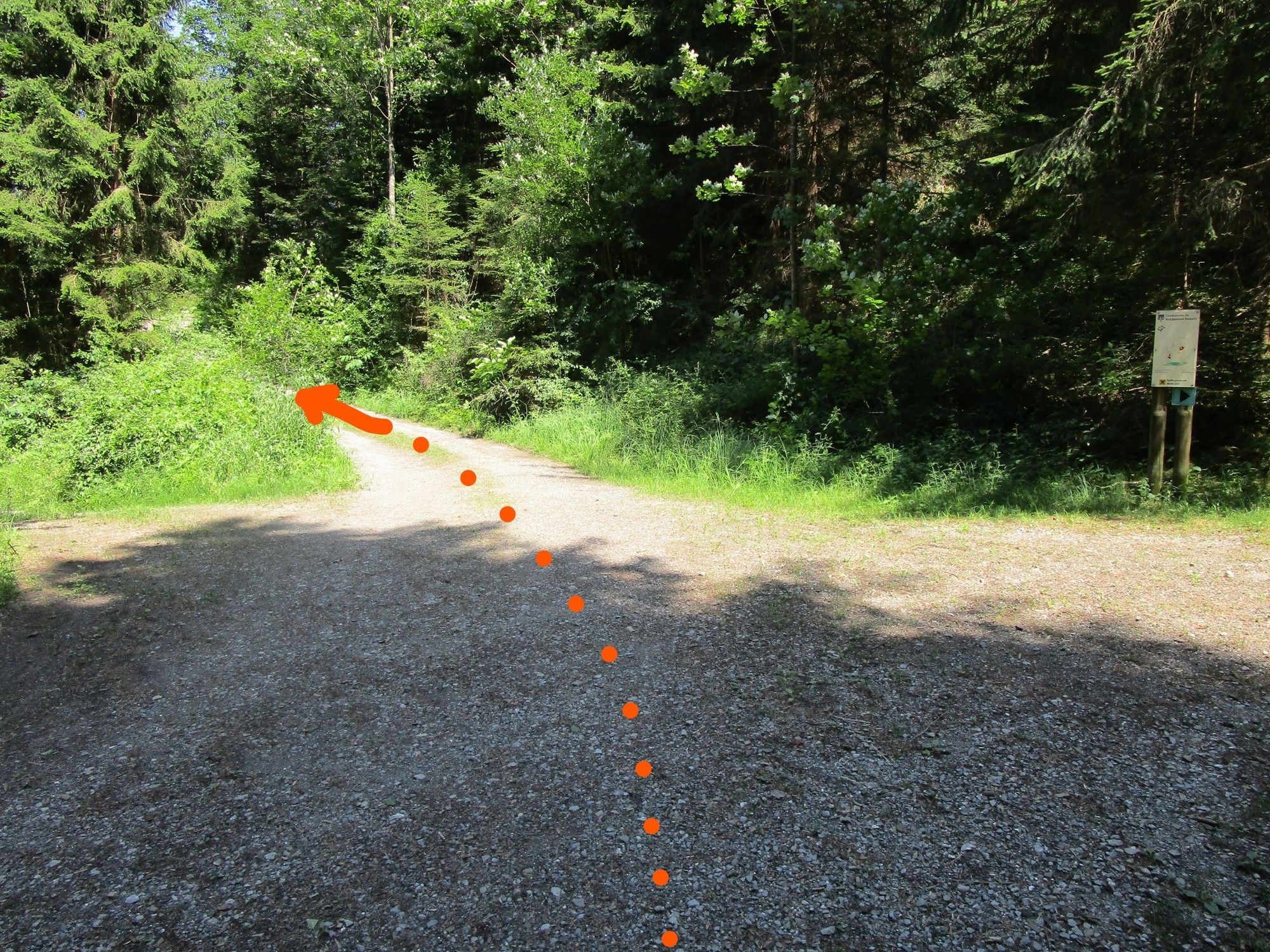
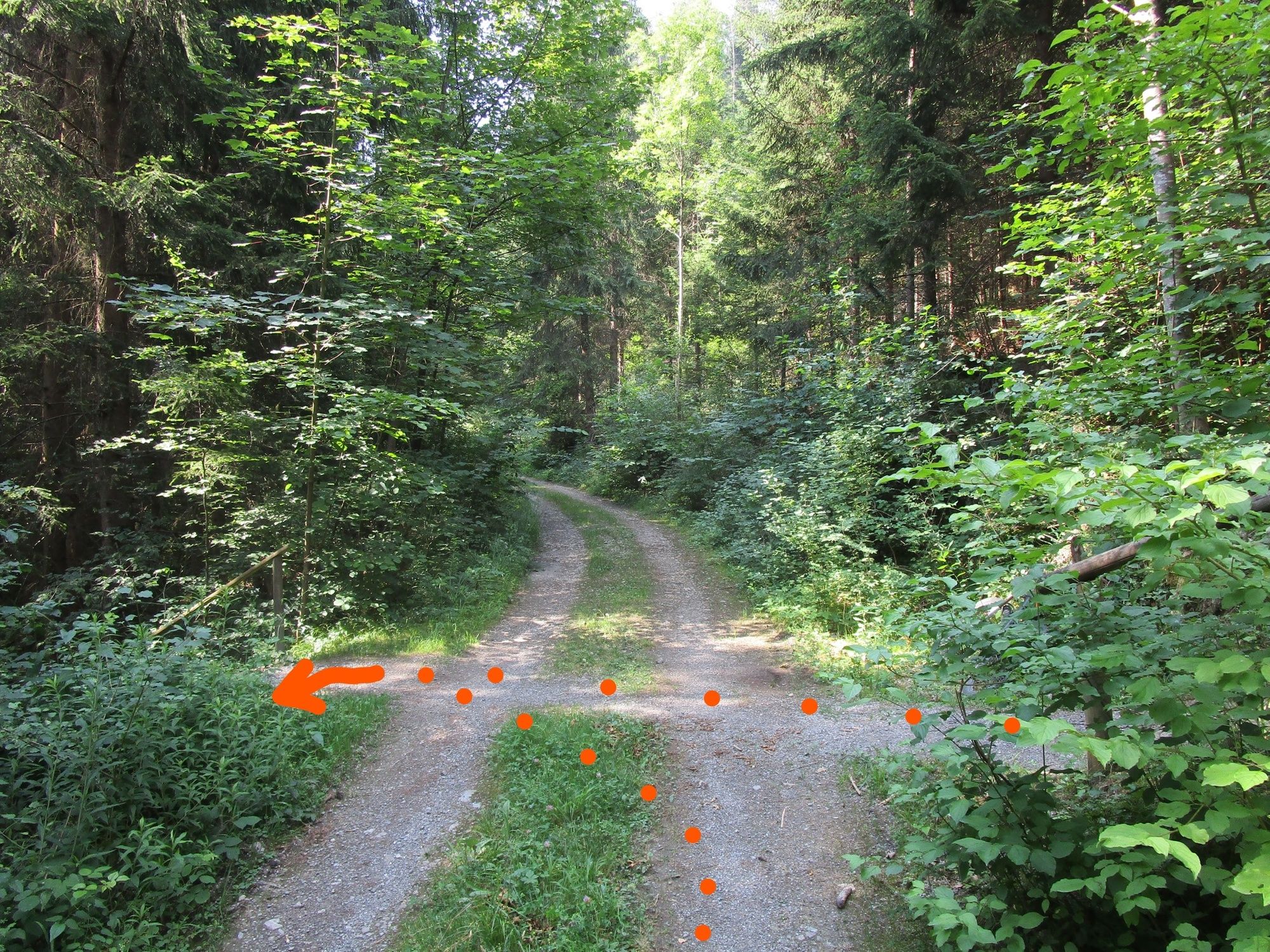
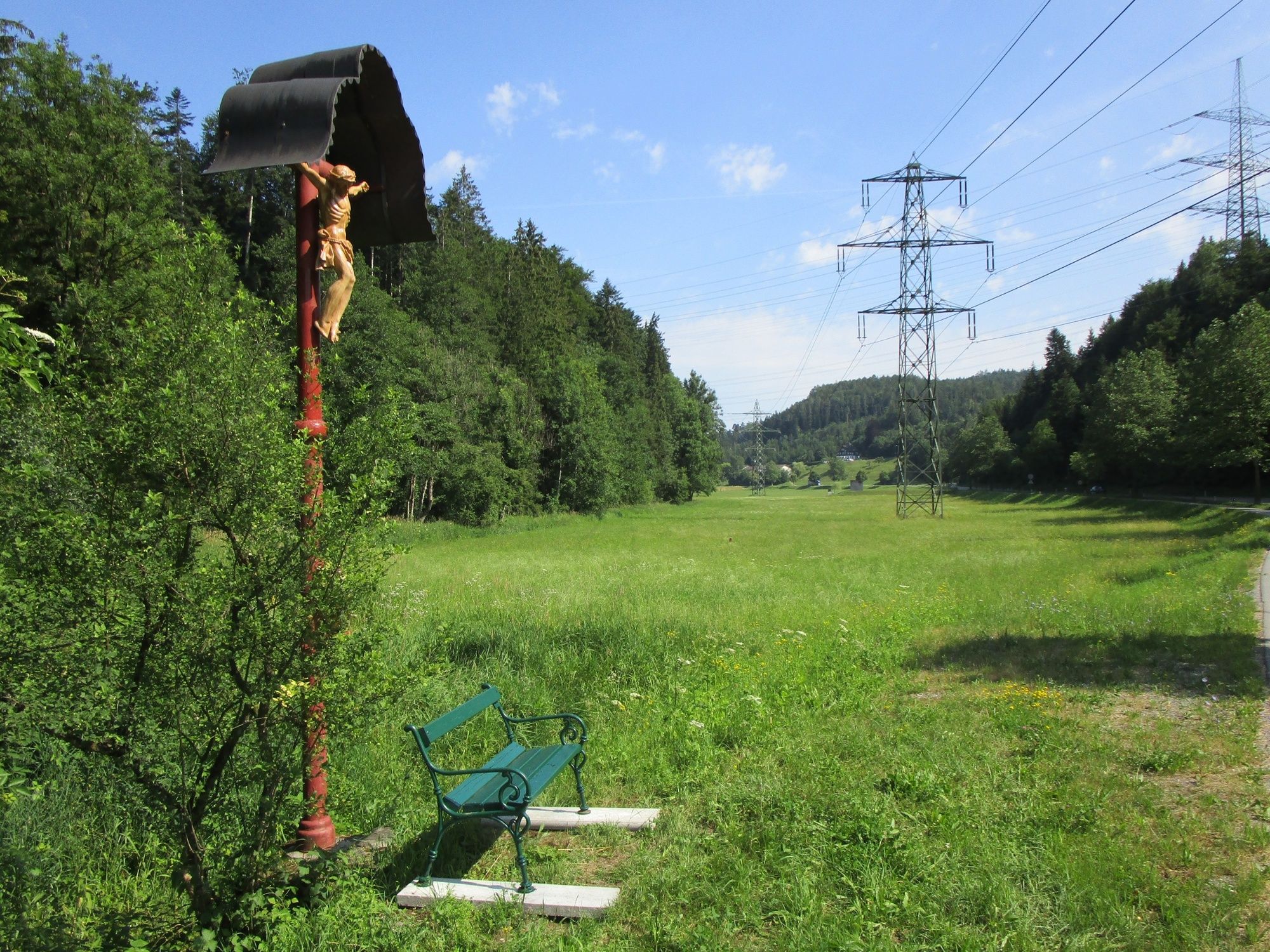
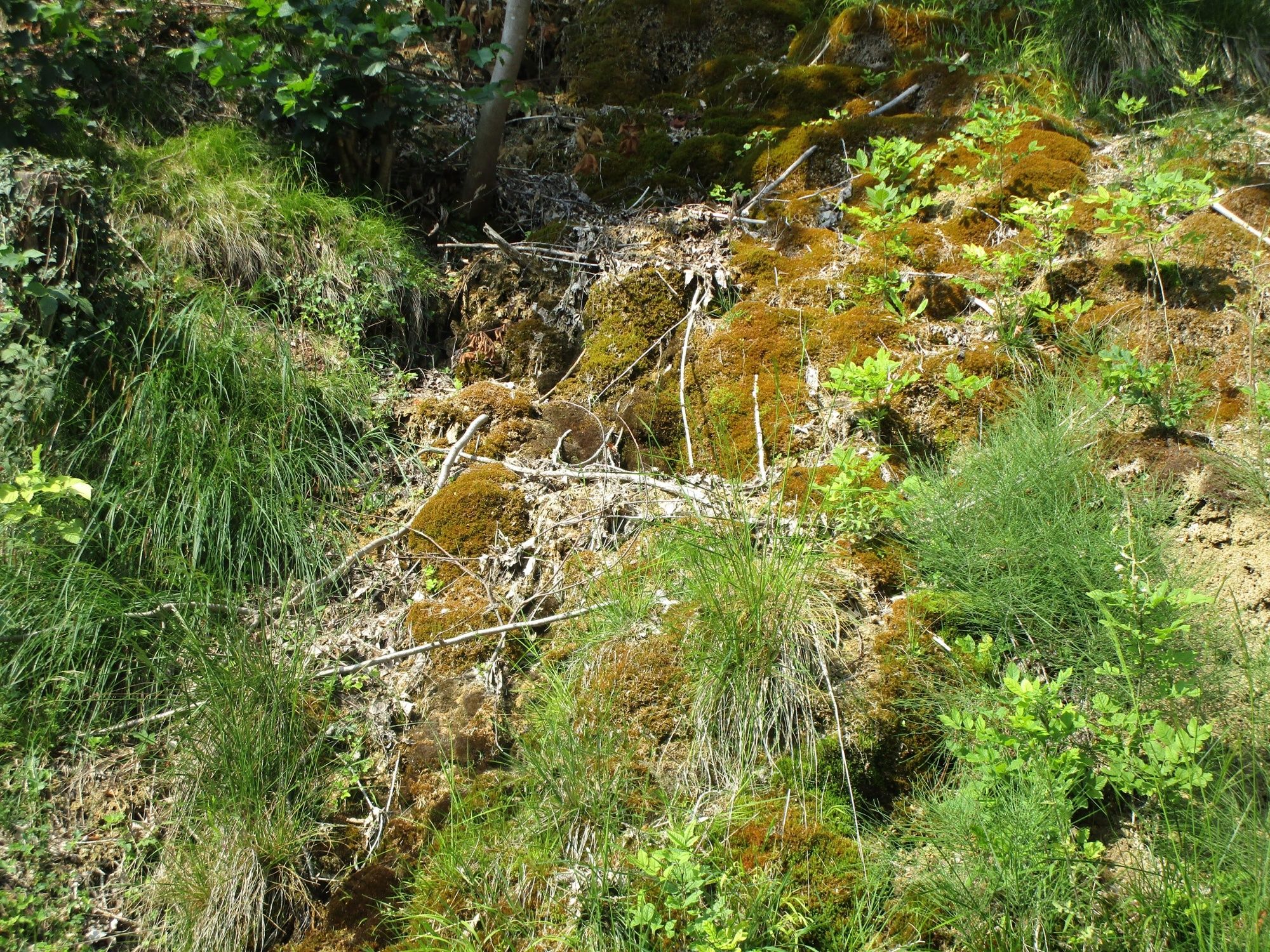
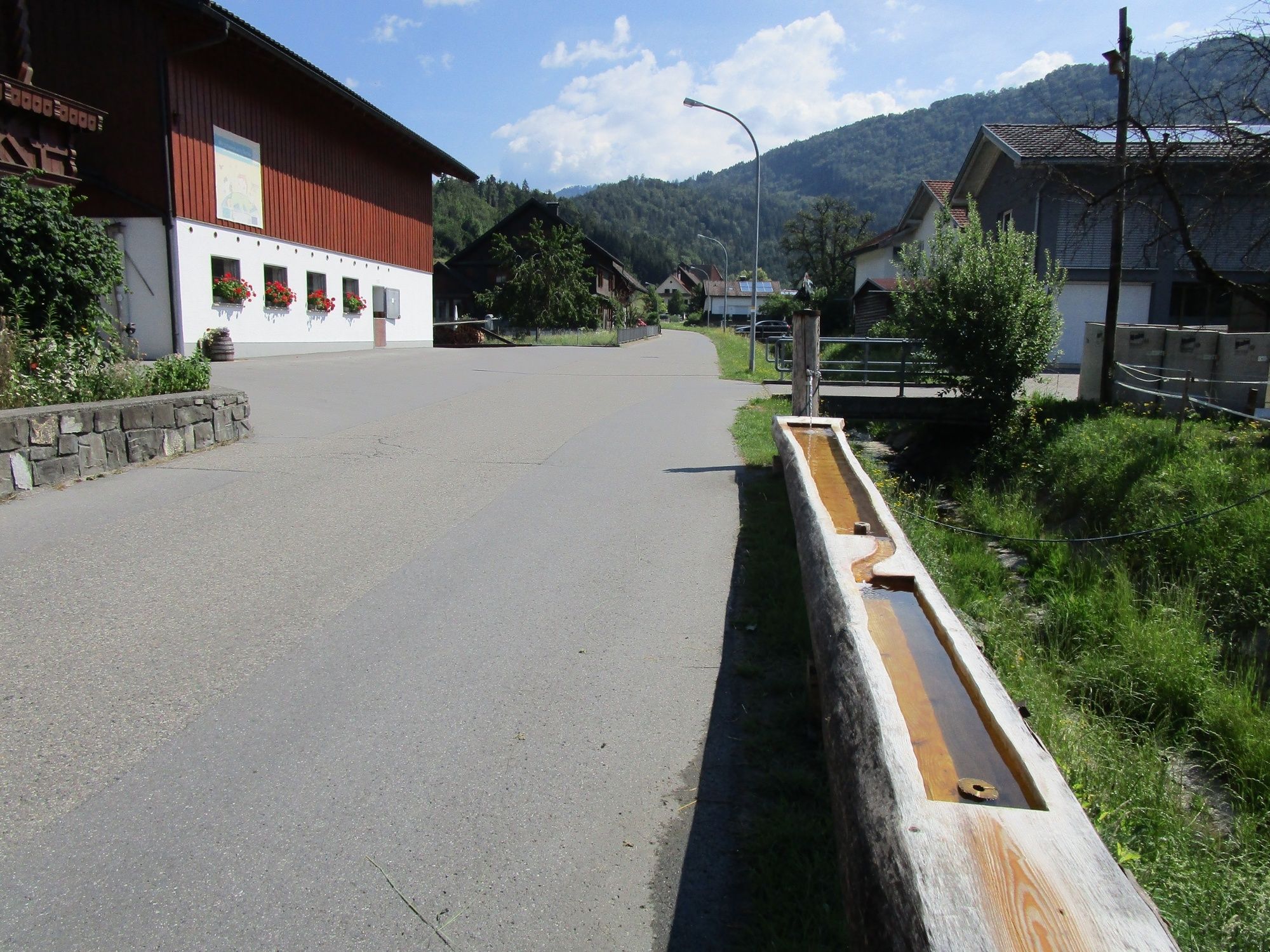
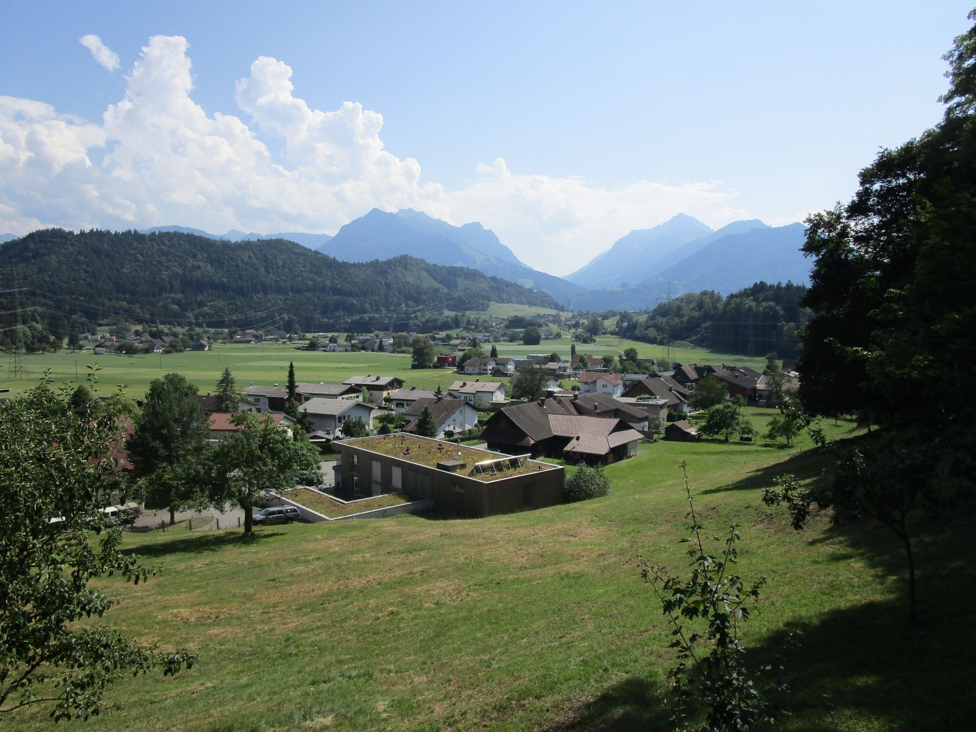
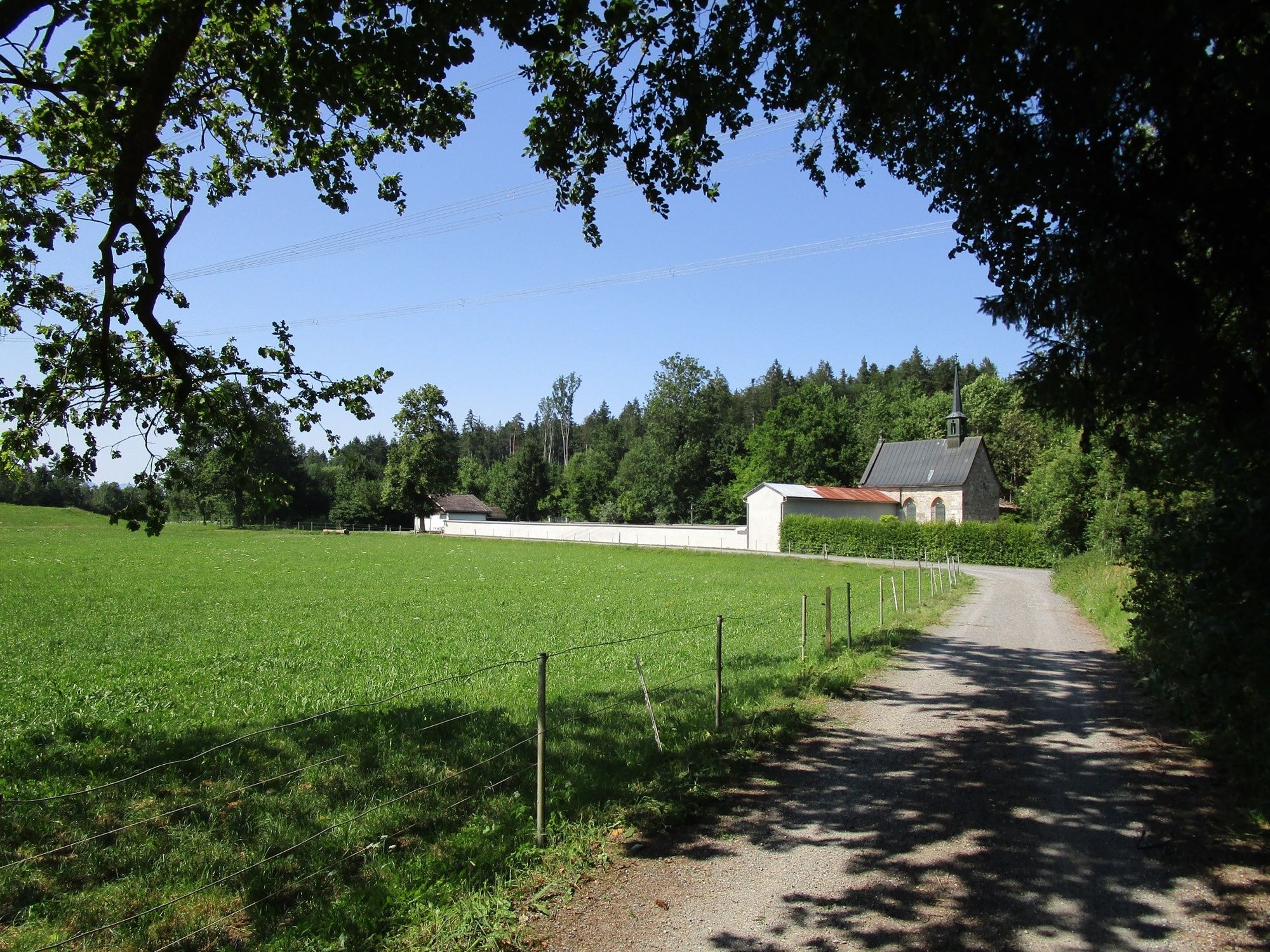
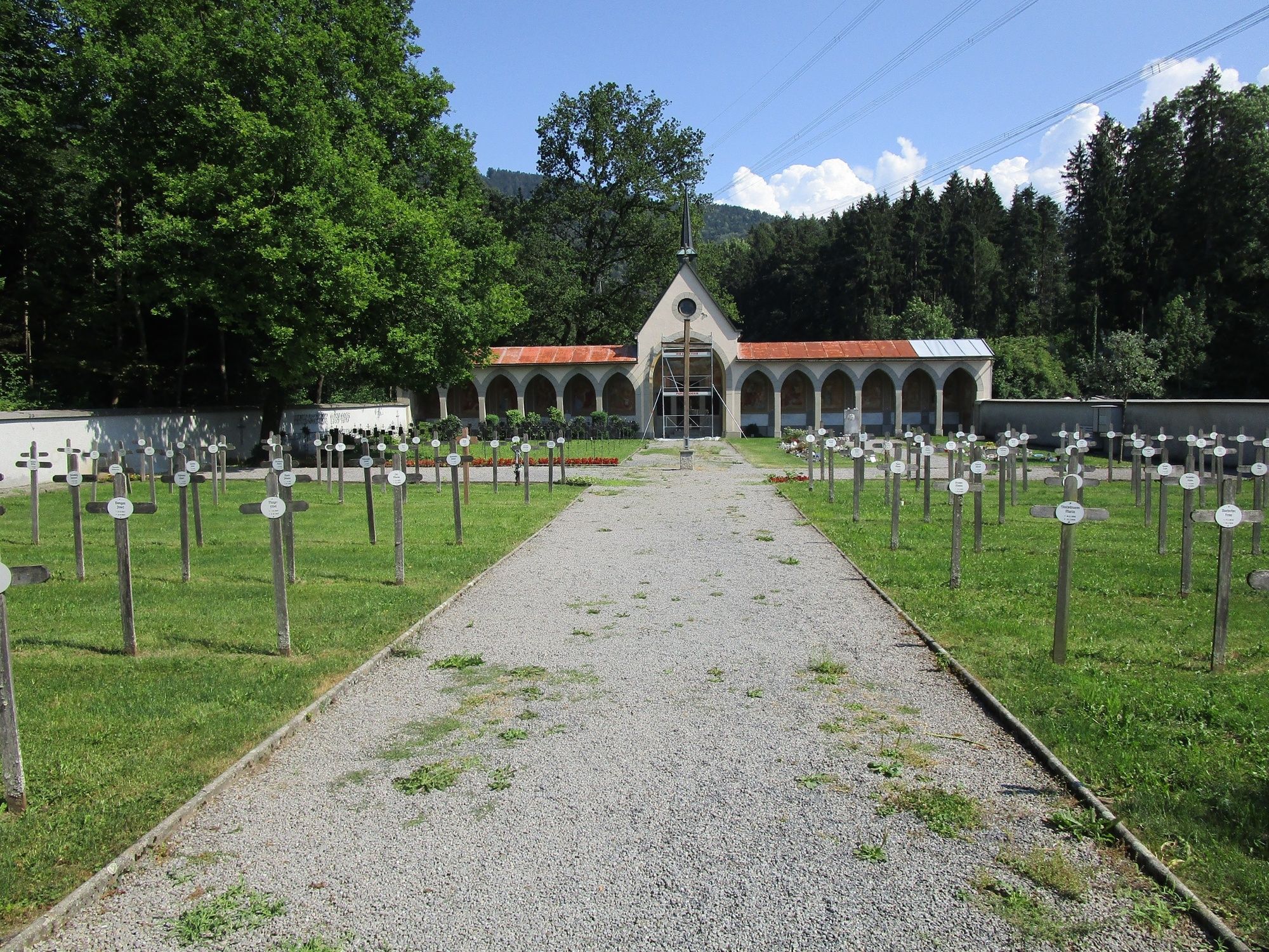
From the starting point across Schafplatz to Tufers, up to the plain of Egeta with Valduna cemetery and via the Pfarrschrofen back to the starting point.
- Sværhedsgrad
-
medium
- Evaluering
-
- Rute
-
Peterskirche0,1 kmRiedle1,6 kmNesslersbühel2,7 kmTillis3,1 kmQuadrescha3,5 kmWalserholz5,2 kmEgata5,7 kmKriasibühel6,2 kmAm Zoll7,1 kmPfarrschrofenausblick7,3 kmRankweil8,3 km
- Bedste sæson
-
janfebmaraprmajjunjulaugsepoktnovdec
- Højeste punkt
- 552 m
- Destination
-
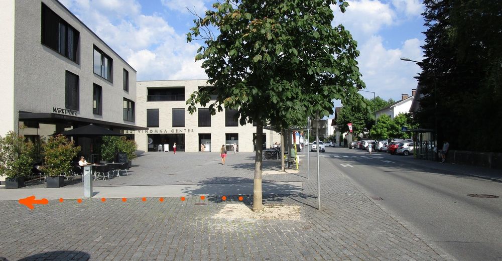
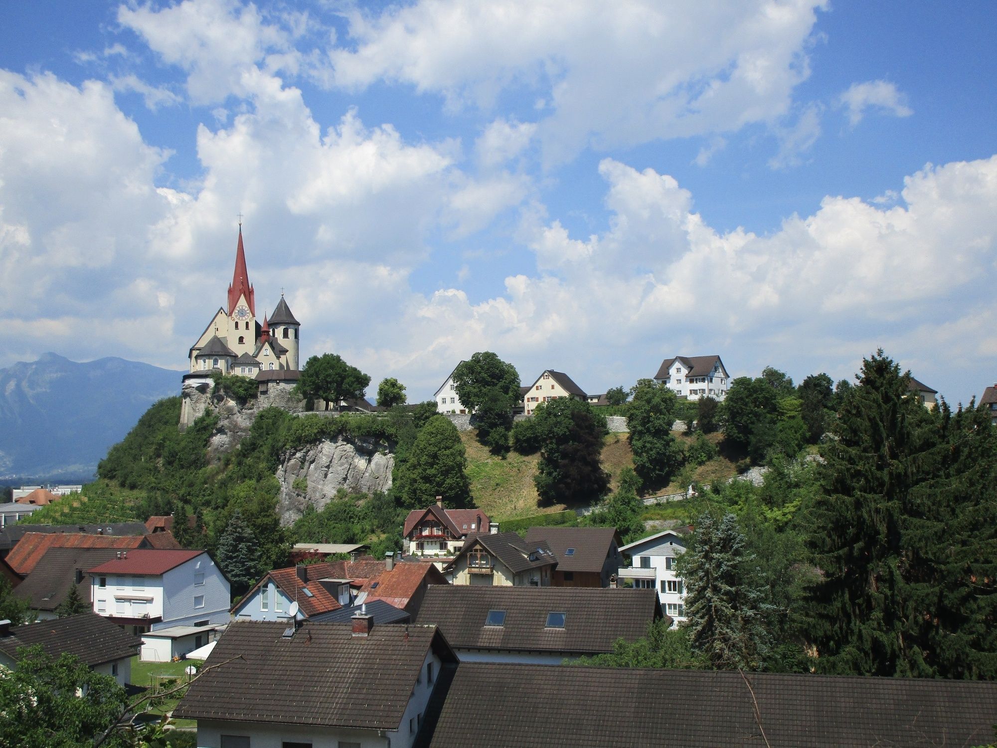
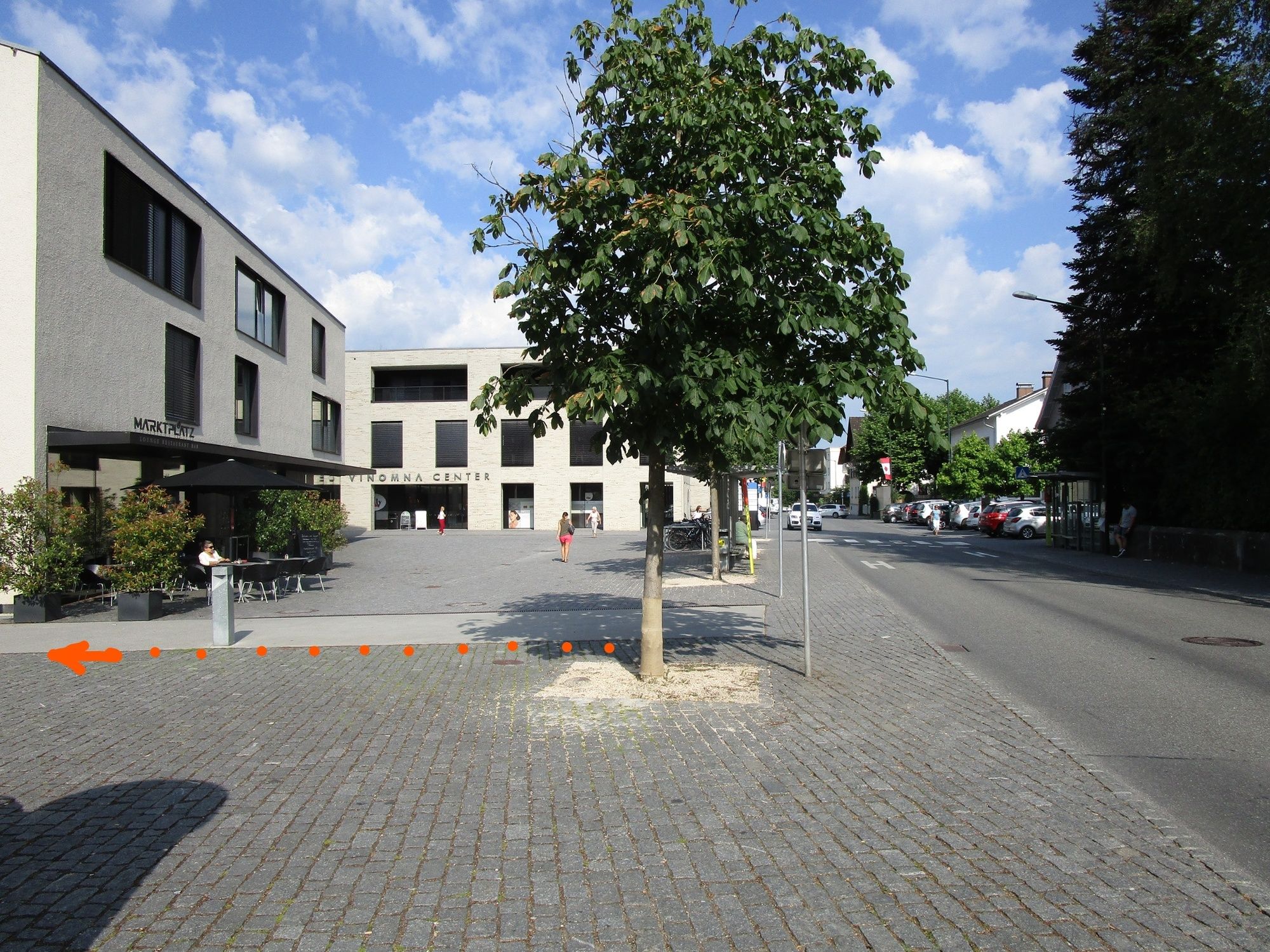
Rankweil Marktplatz
- Højdeprofil
-


- Forfatter
-
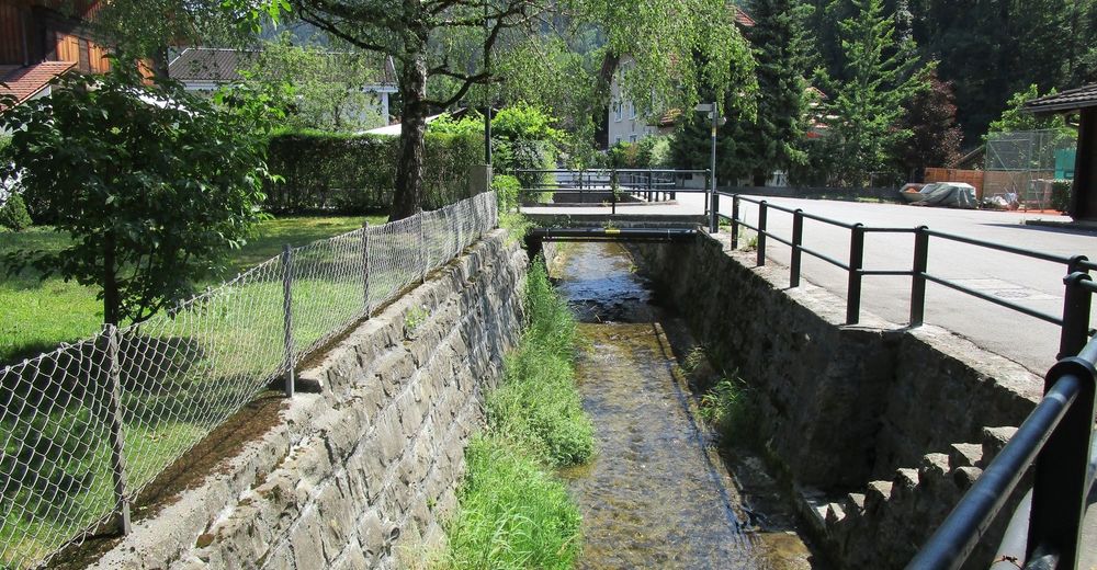
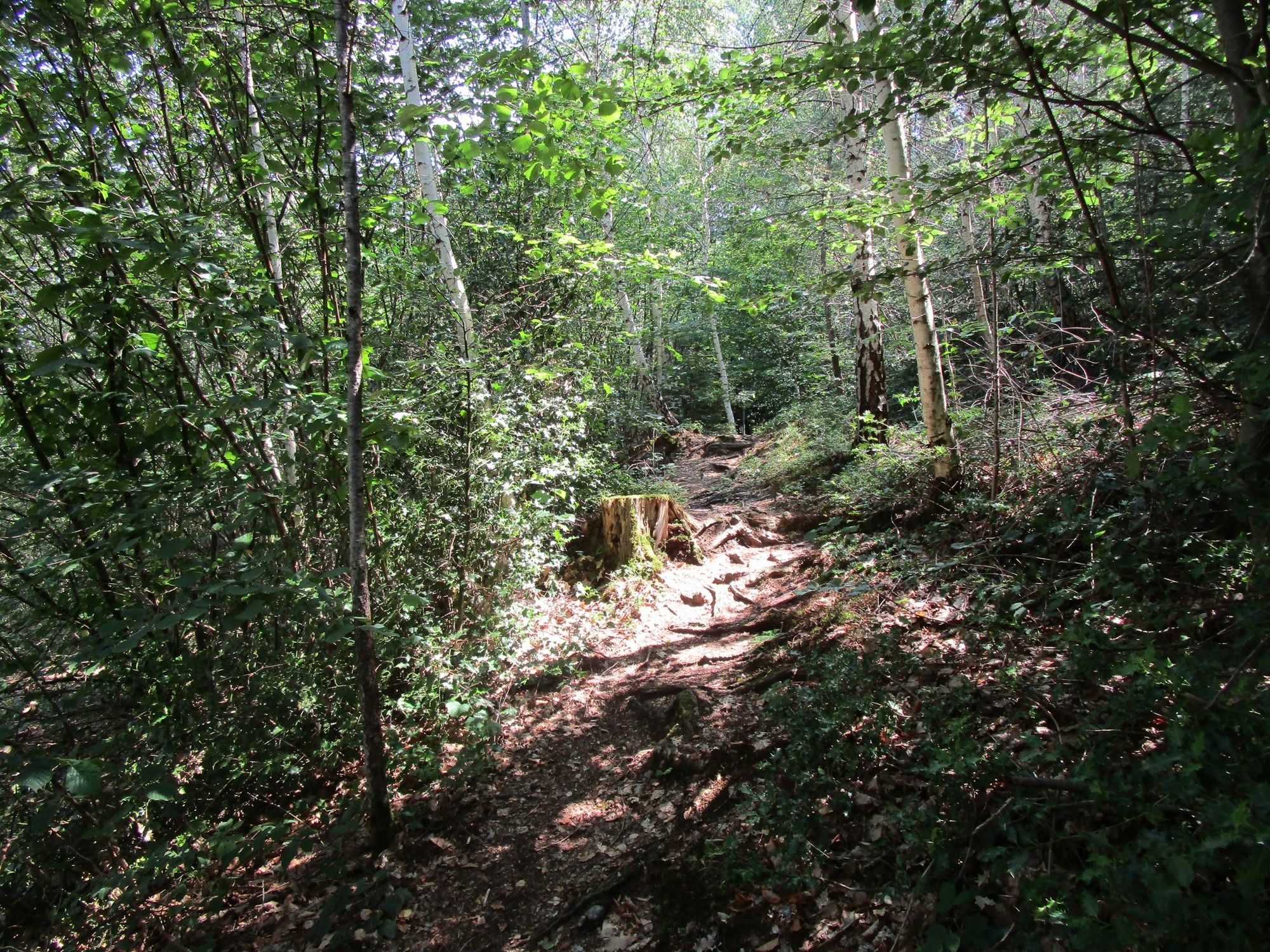
Rundvisningen A leisurely hike through the shady forests of Rankweil bruges af outdooractive.com forudsat.
GPS Downloads


Generel information
Forfriskningsstop
Kulturel/Historisk
Flere ture i regionerne
-
St. Gallen - Bodensee
2067
-
St. Galler Rheintal
1334
-
Rankweil
322


