
© www.guideservice.at - Erich Zucalli
© www.guideservice.at - Erich Zucalli
© Bodensee-Vorarlberg Tourismus GmbH - Erich Zucalli
© www.guideservice.at - Erich Zucalli
© www.guideservice.at - Erich Zucalli
© www.guideservice.at - Erich Zucalli
© www.guideservice.at - Erich Zucalli
© www.guideservice.at - Erich Zucalli
© www.guideservice.at - Erich Zucalli
© www.guideservice.at - Erich Zucalli


- Kort beskrivelse
-
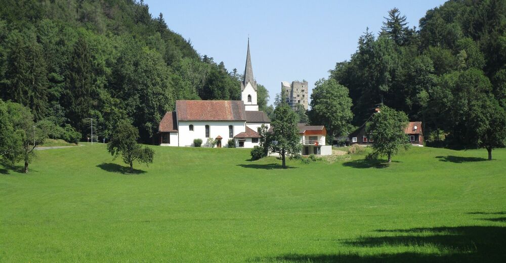
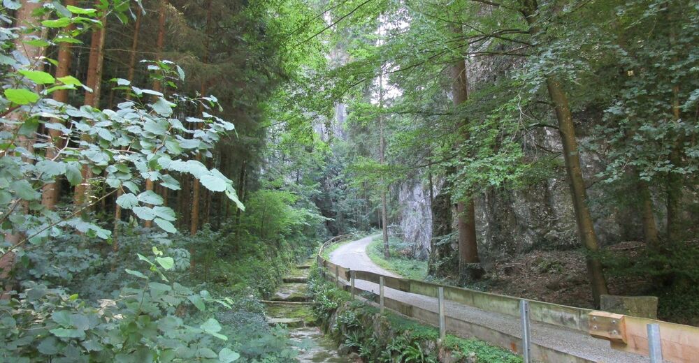
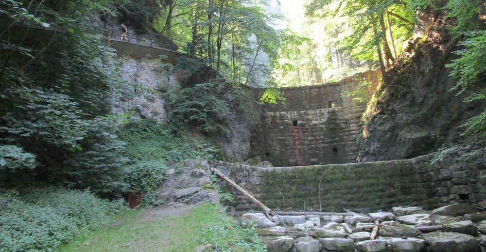
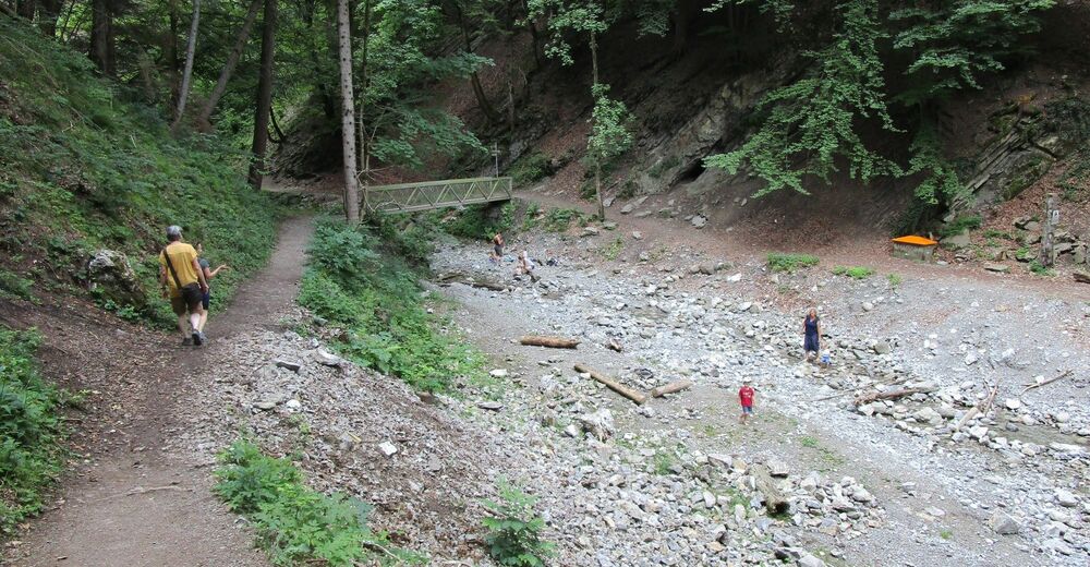
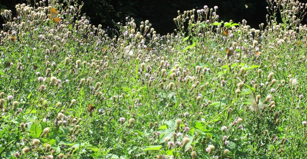
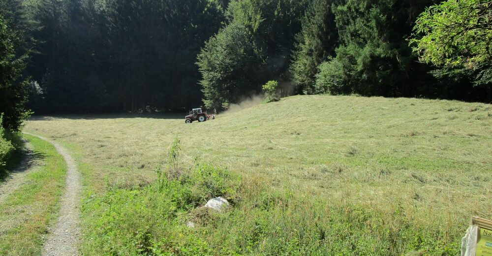
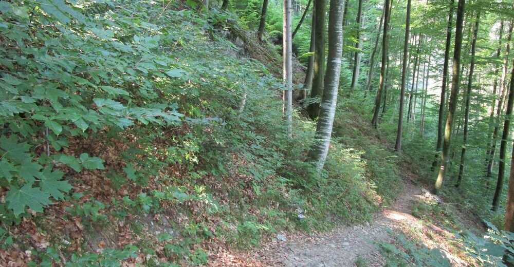
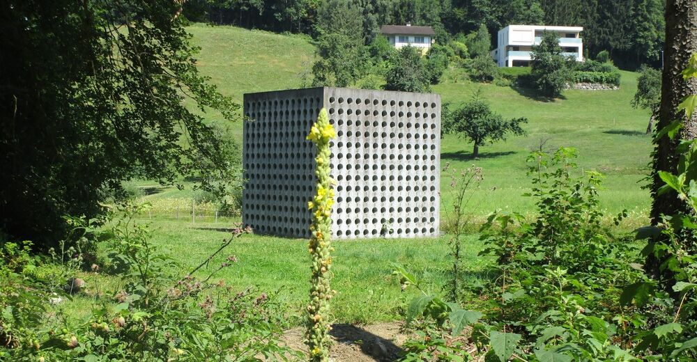
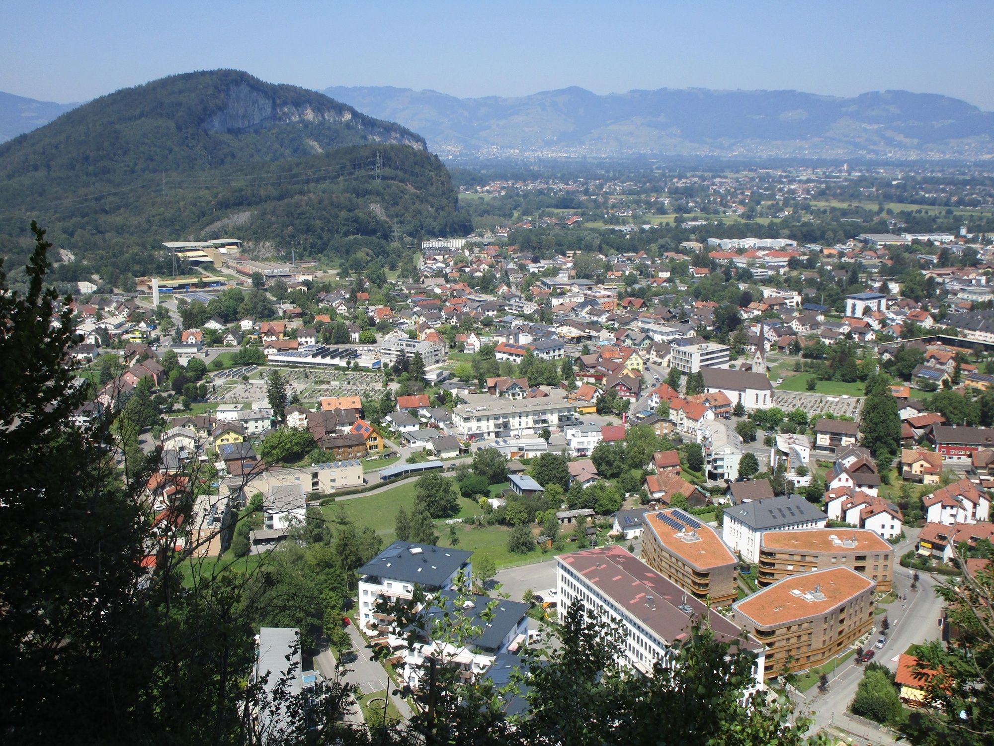
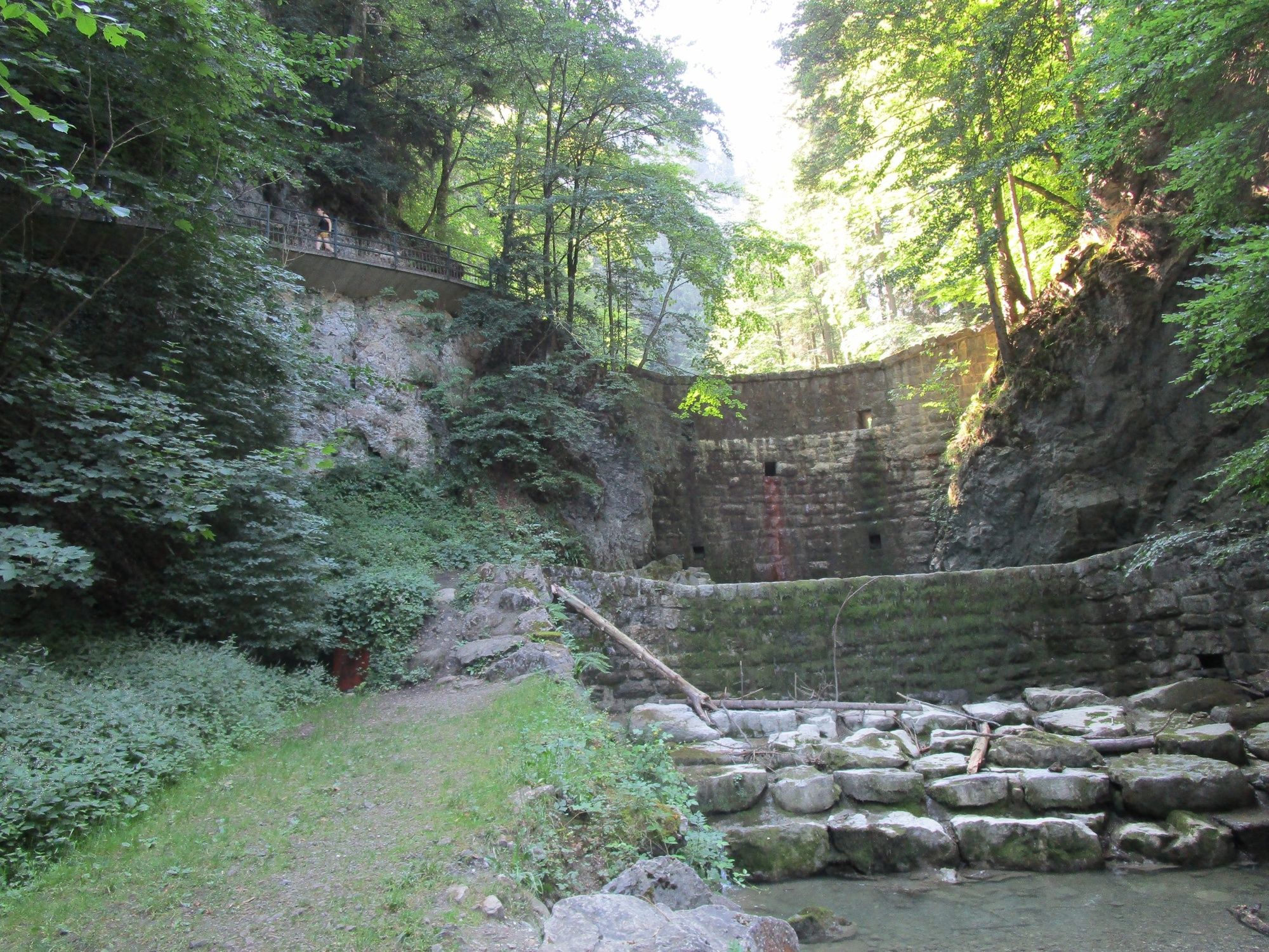
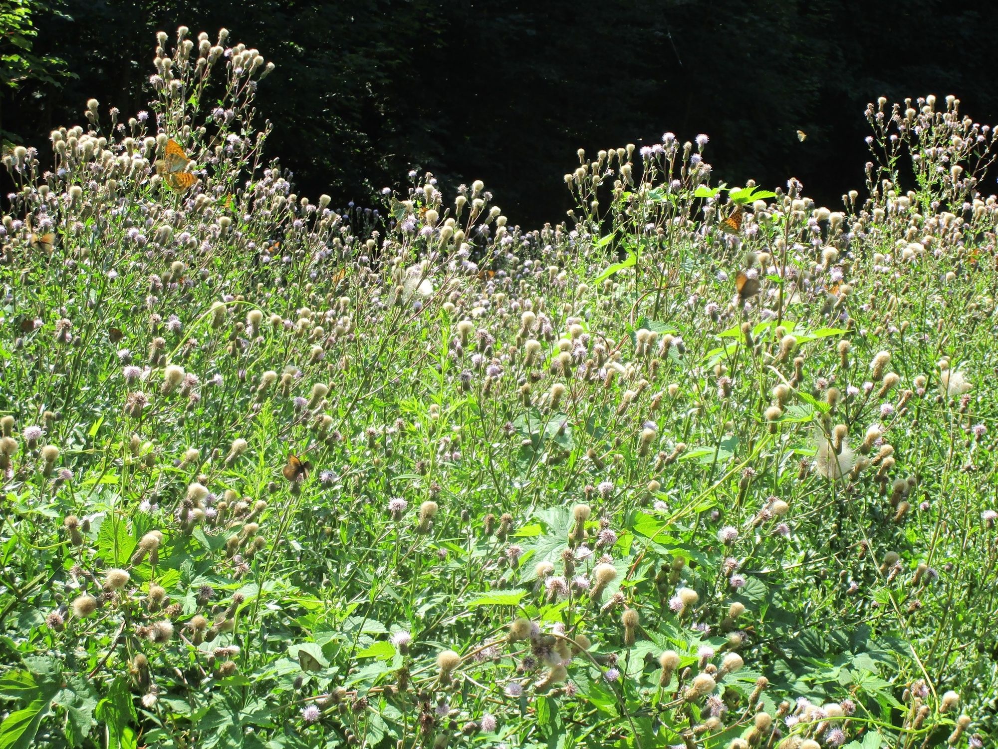
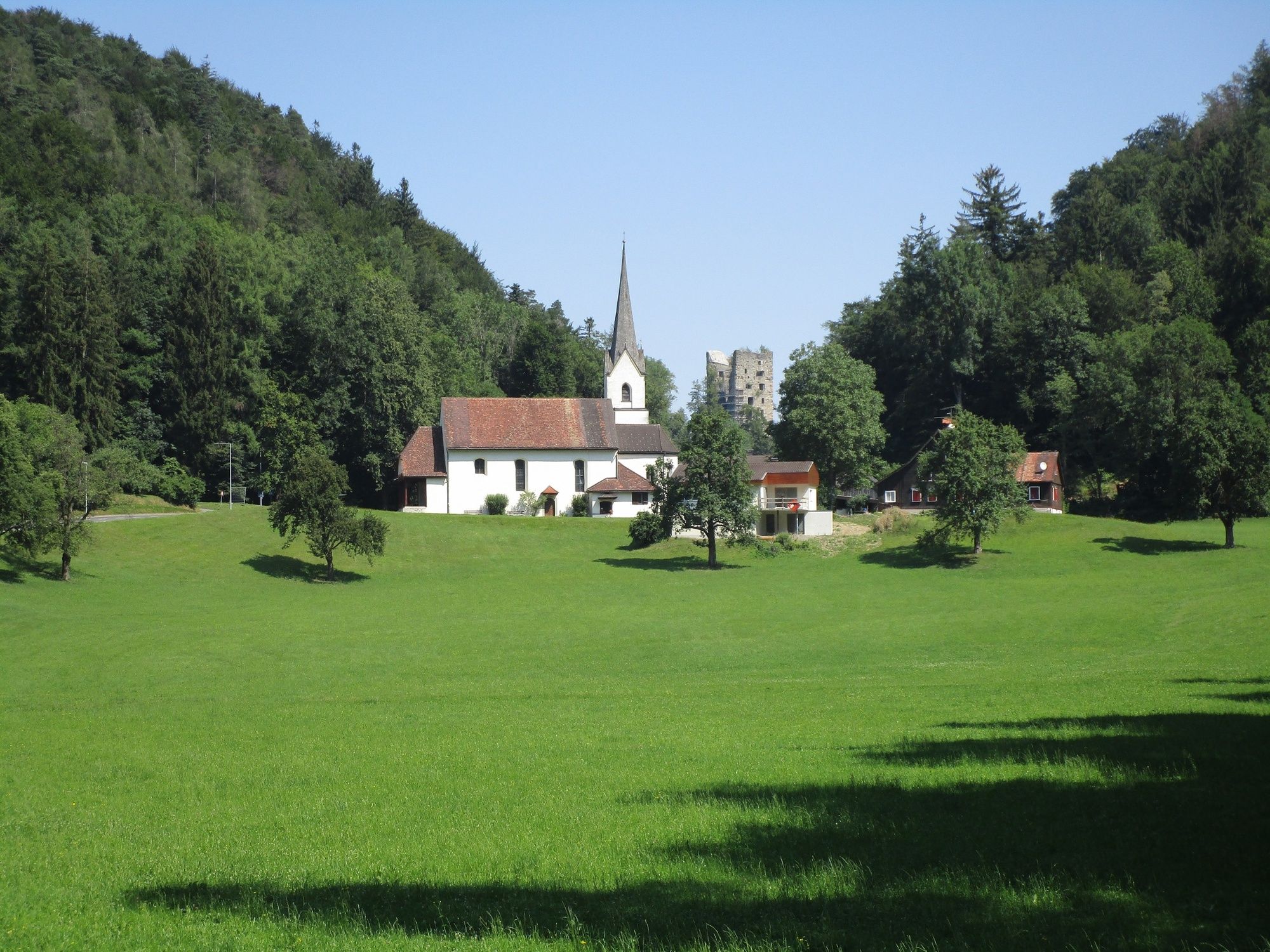
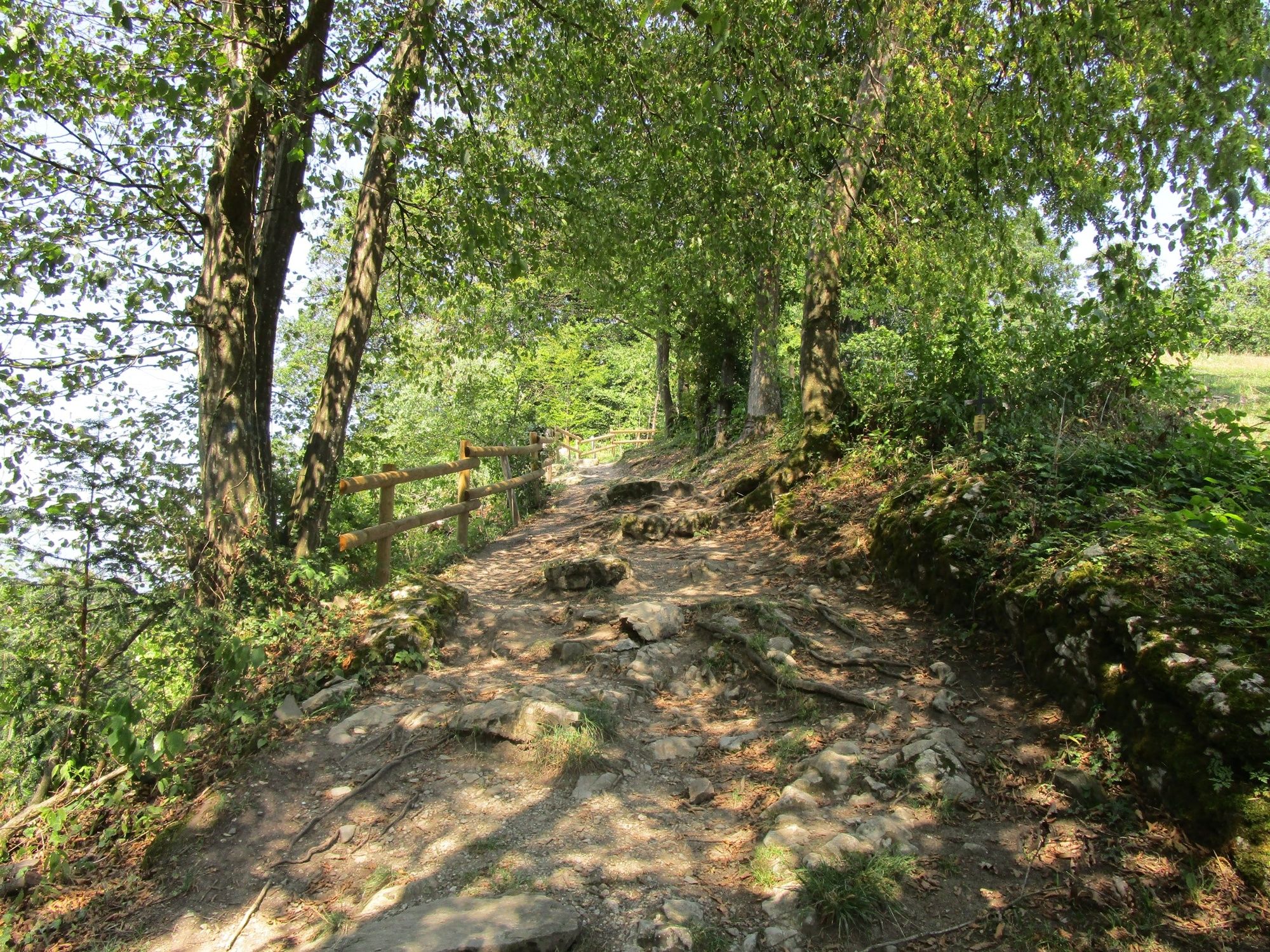
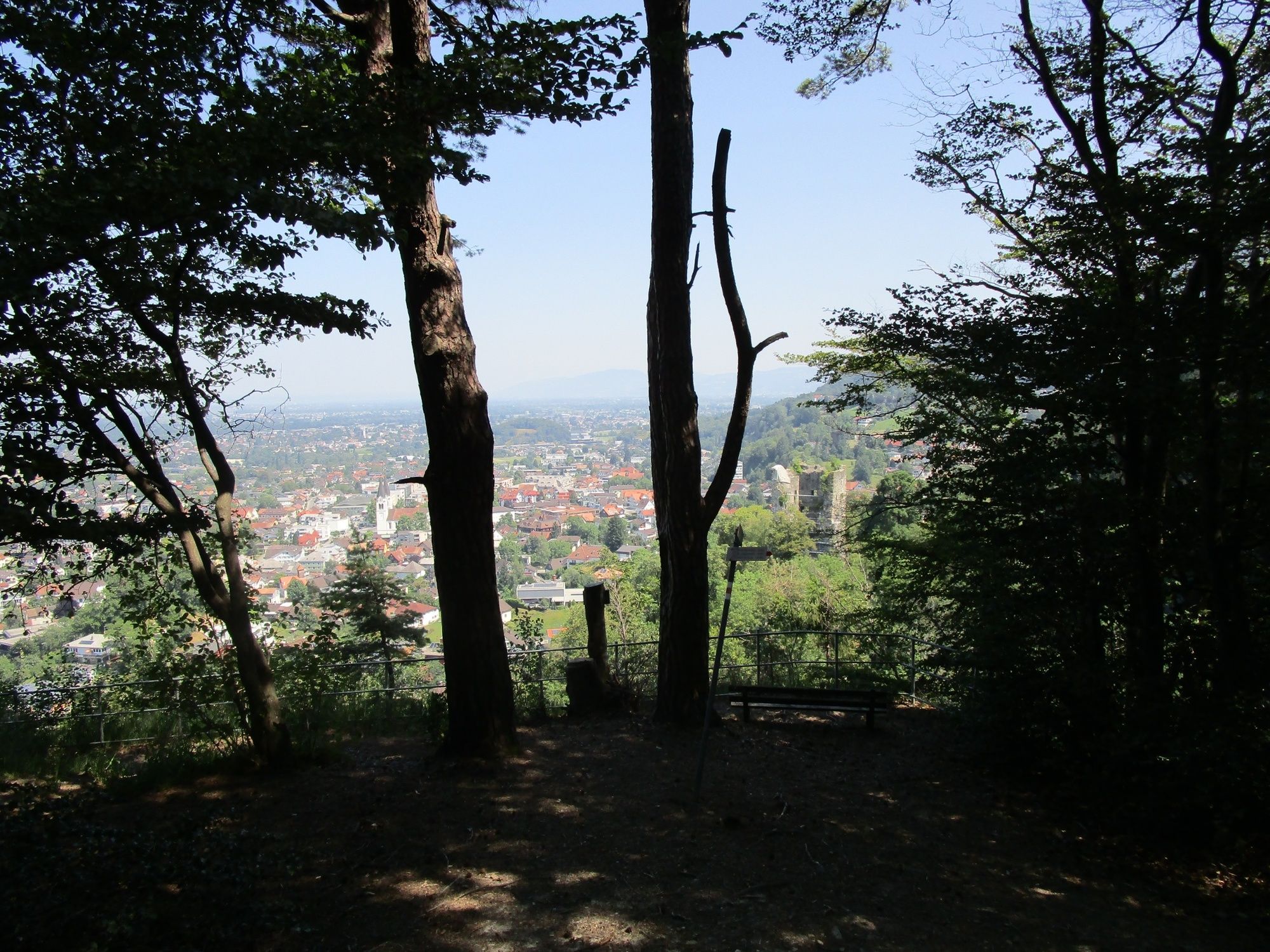
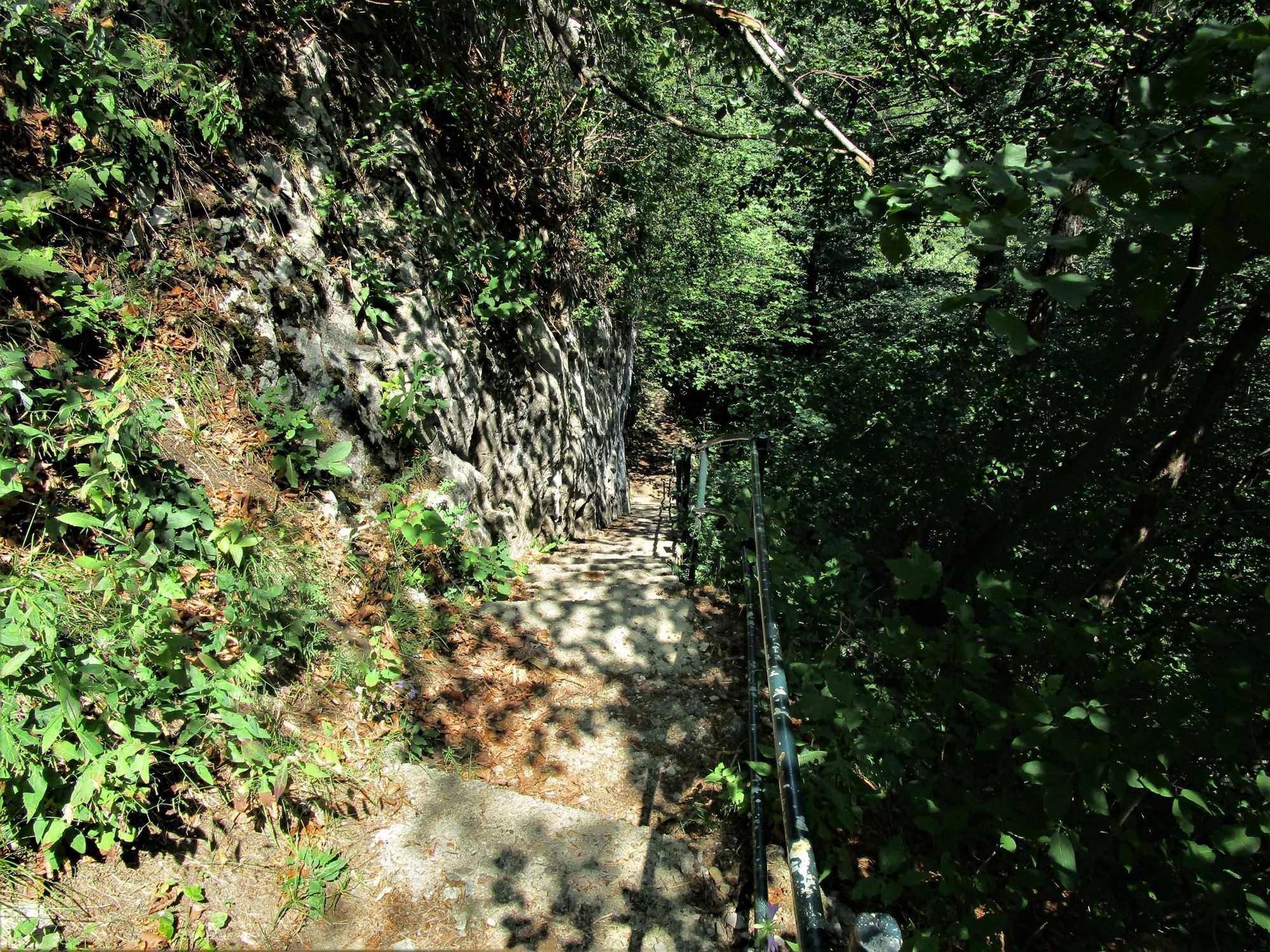
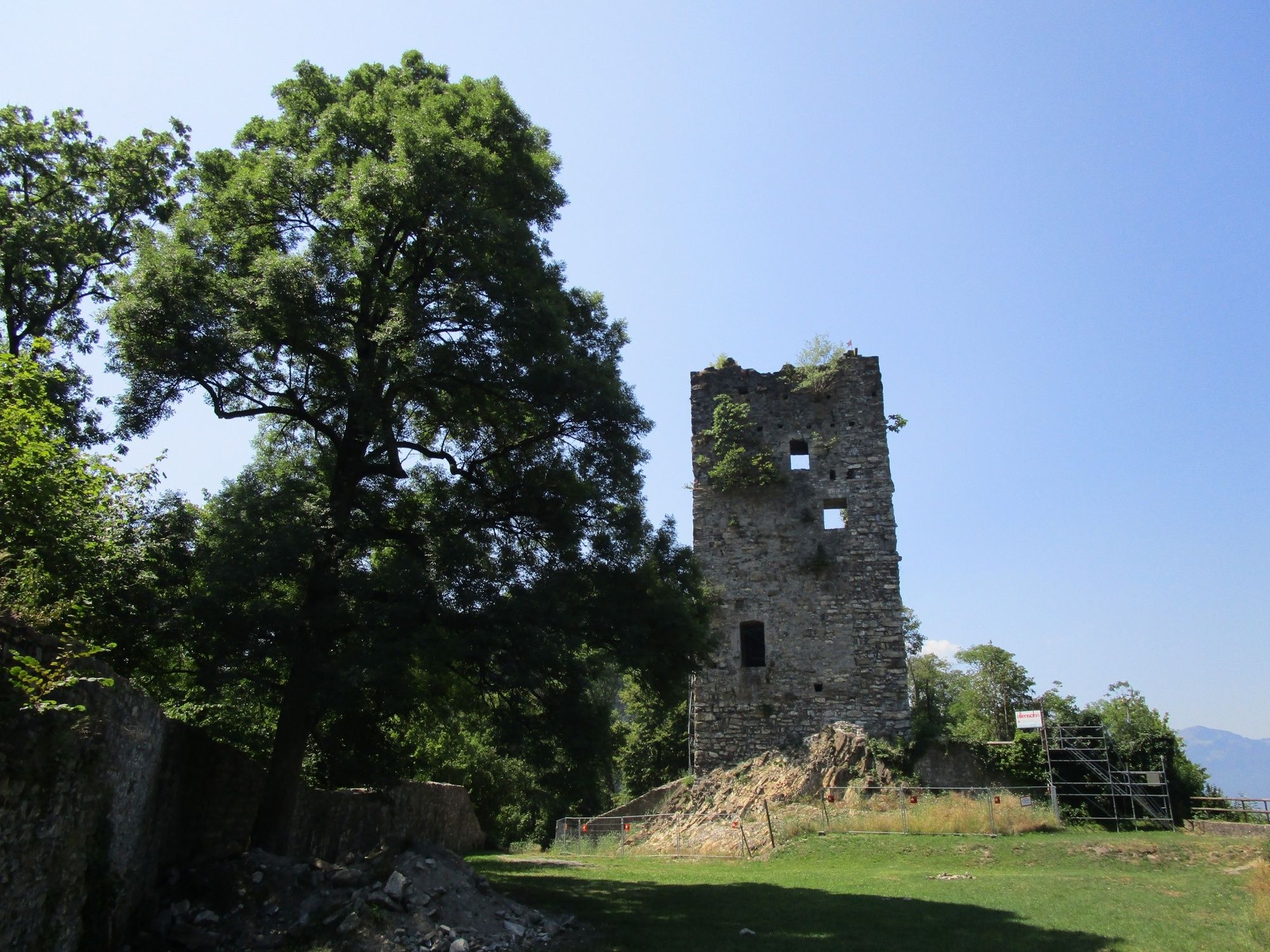
Experience the nature of Götzis on a leisurely hike through the Örflaschlucht (gorge), Mationswiesen (meadows), the hollow at Arbogast, the ruins of Neu-Montfort and past the chapel of St. Loy to the starting point.
- Sværhedsgrad
-
let
- Evaluering
-
- Rute
-
Quelle Inmakulata0,7 kmÖrflaschlucht1,0 kmMathions2,1 kmSimpeler (513 m)4,6 kmTherenberg (565 m)4,9 kmSankt Arbogast5,2 kmKapelle St. Loy5,9 kmGötzis (448 m)6,2 km
- Bedste sæson
-
janfebmaraprmajjunjulaugsepoktnovdec
- Højeste punkt
- 587 m
- Destination
-
Parking place swimming pool
- Højdeprofil
-


- Forfatter
-
Rundvisningen Natural diversity and beauty around Götzis bruges af outdooractive.com forudsat.
GPS Downloads


Generel information
Forfriskningsstop
Lovende
Flere ture i regionerne
-
St. Gallen - Bodensee
2067
-
St. Galler Rheintal
1334
-
Götzis
349


