

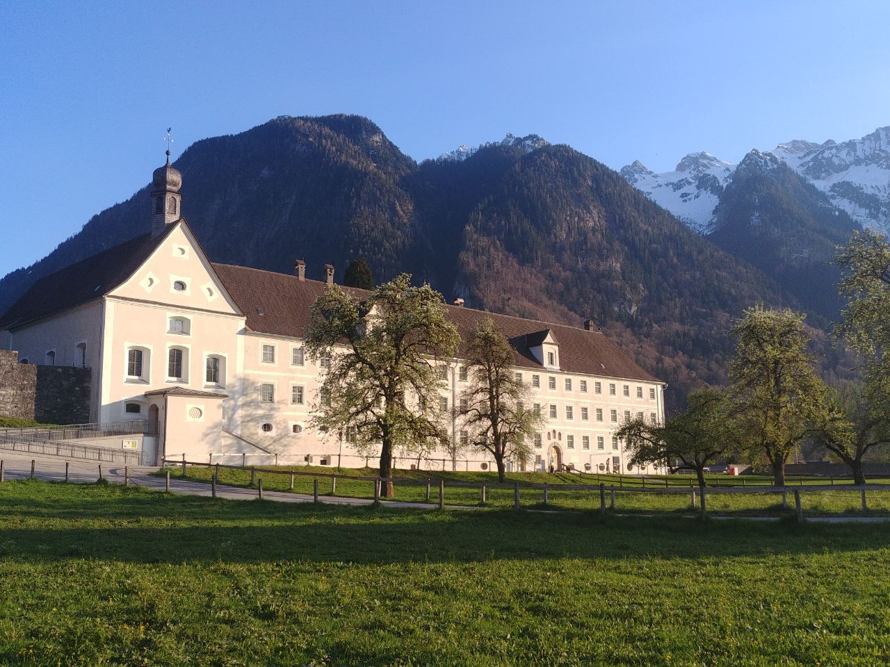
© Alpenregion Bludenz Tourismus GmbH - Sarah Walch

© Vorarlberg Tourismus GmbH
- Kort beskrivelse
-
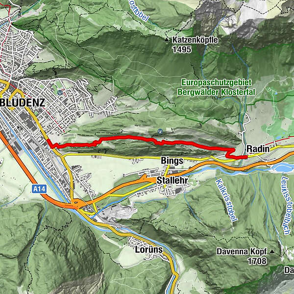
Varied meadow and forest paths lead on this tour via Gasünd, to St. Leonhard and on to Radin.
- Sværhedsgrad
-
let
- Evaluering
-
- Rute
-
BludenzBings2,4 kmSt. Leonhard3,7 kmRadin4,0 km
- Bedste sæson
-
janfebmaraprmajjunjulaugsepoktnovdec
- Højeste punkt
- 799 m
- Destination
-
Radin, Bludenz-Außerbraz
- Højdeprofil
-

- Forfatter
-
Rundvisningen Via Gasünd to Radin | Bludenz bruges af outdooractive.com forudsat.
GPS Downloads


Generel information
Lovende
Flere ture i regionerne
-
St. Gallen - Bodensee
2065
-
Alpenstadt Bludenz
1847
-
Stallehr
563


