

© Alpenregion Bludenz Tourismus GmbH - Melanie Fleisch

© Alpenregion Bludenz Tourismus GmbH - Melanie Fleisch

© Alpenregion Bludenz Tourismus GmbH - Melanie Fleisch

© Alpenregion Bludenz Tourismus GmbH - Melanie Fleisch

© Alpenregion Bludenz Tourismus GmbH - Melanie Fleisch

© Vorarlberg Tourismus GmbH
- Kort beskrivelse
-
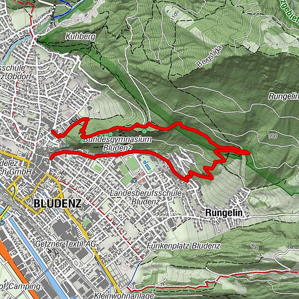
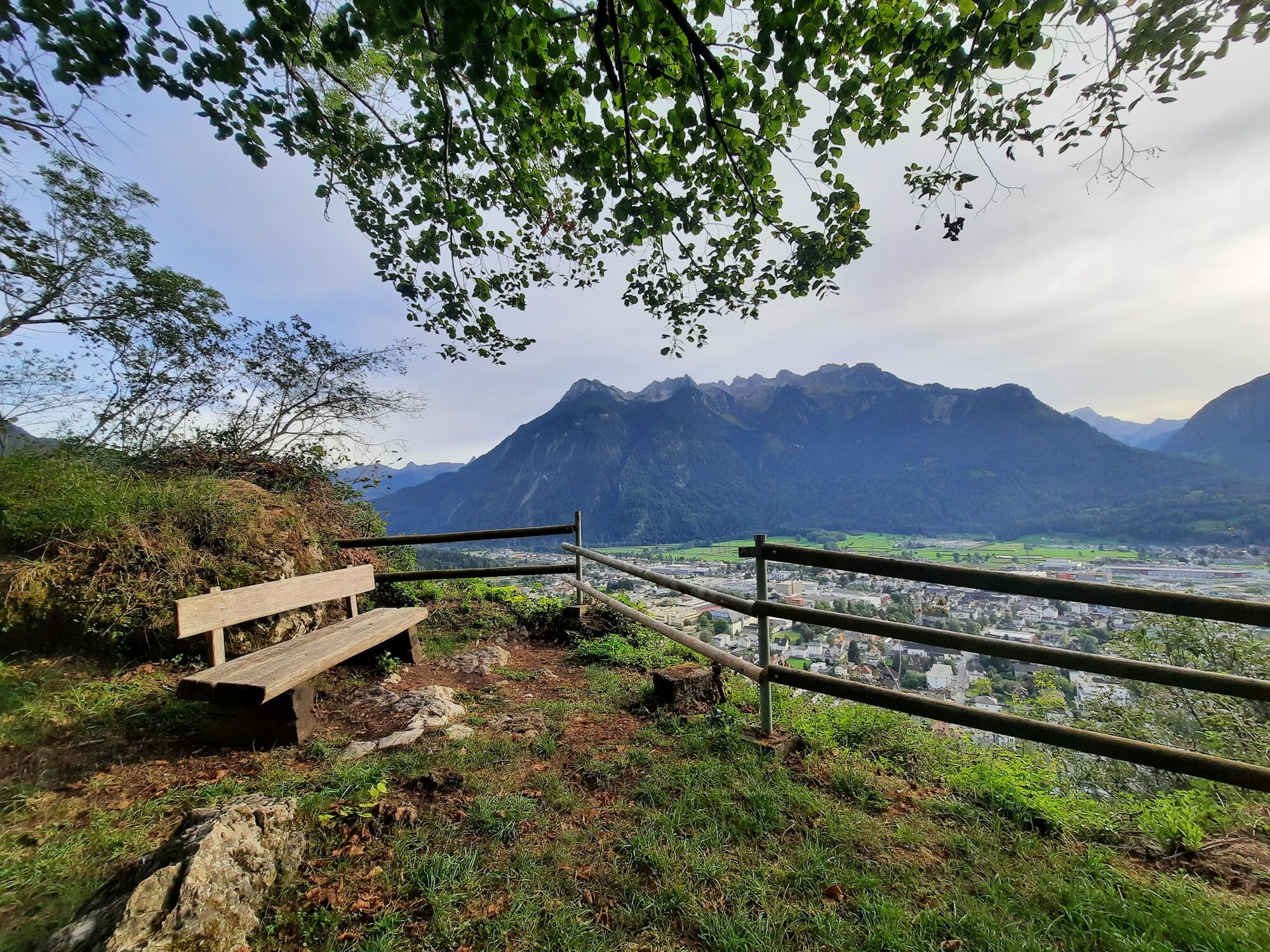
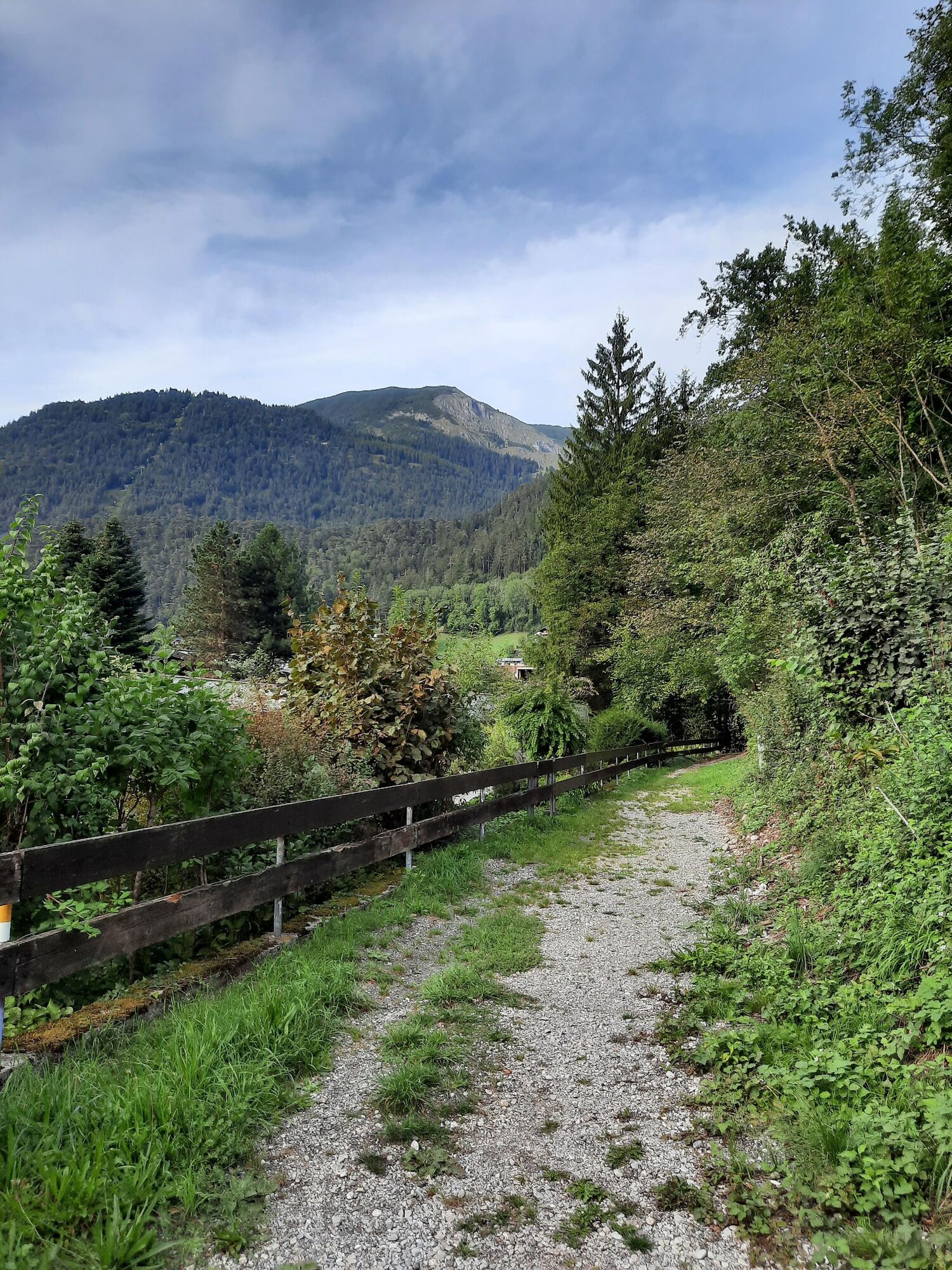
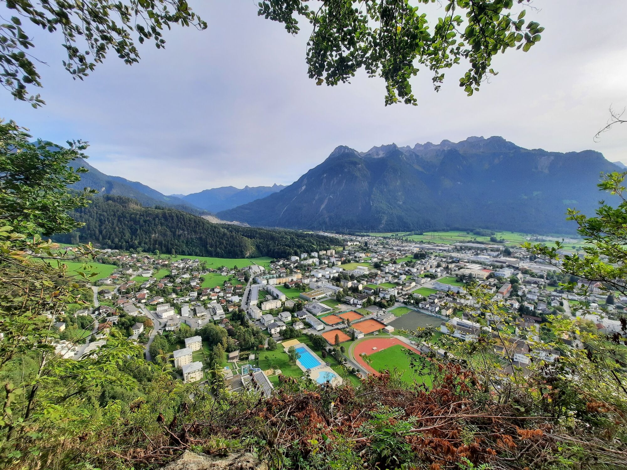
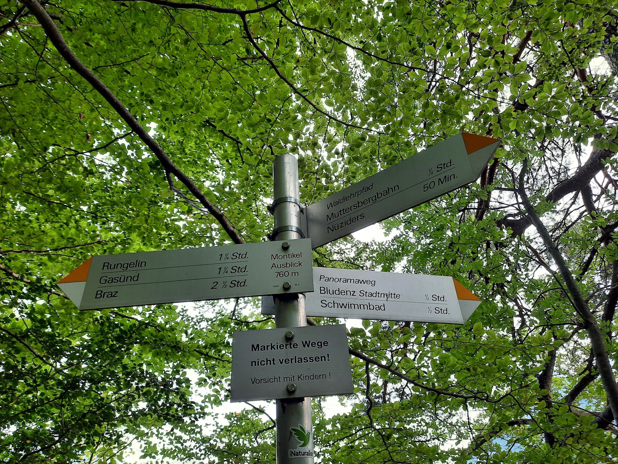
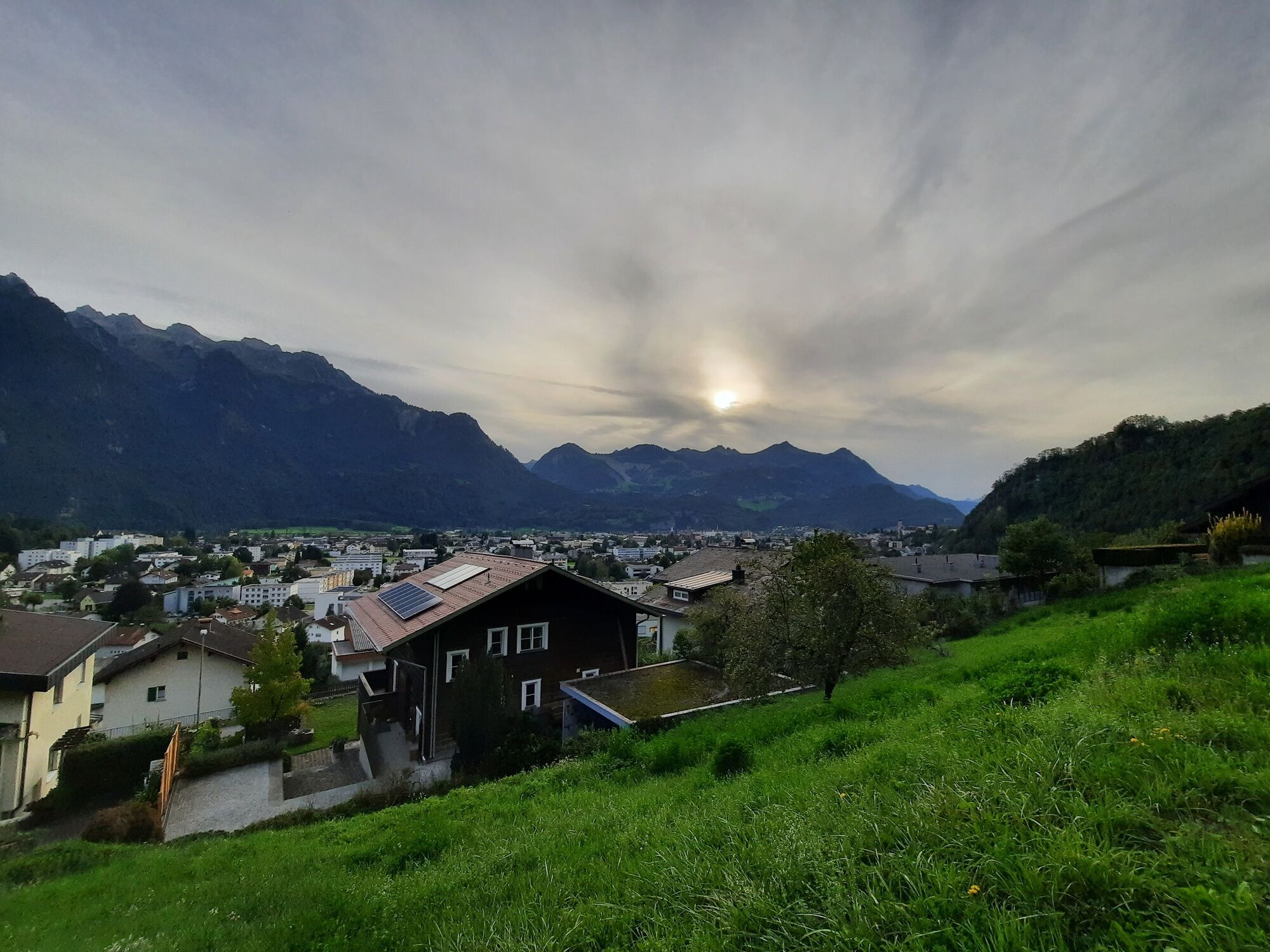
Very beautiful panoramic trail close to the city with many resting benches and beautiful viewpoints.
- Sværhedsgrad
-
let
- Evaluering
-
- Rute
-
Montikel (715 m)0,9 kmHaldawässerle1,5 kmPlatzalma (748 m)2,2 kmRungelin2,9 kmBludenz4,6 km
- Bedste sæson
-
janfebmaraprmajjunjulaugsepoktnovdec
- Højeste punkt
- 786 m
- Destination
-
Leisure pool VAL BLU, Bludenz
- Højdeprofil
-

- Forfatter
-
Rundvisningen Montikel panoramic trail | Bludenz bruges af outdooractive.com forudsat.
GPS Downloads


Generel information
Forfriskningsstop
Lovende
Flere ture i regionerne
-
St. Gallen - Bodensee
2065
-
Alpenstadt Bludenz
1847
-
Bludenz
533


