

© Warth-Schröcken Tourismus - Sebastian Stiphout

© Warth-Schröcken Tourismus - Ratko Fotografie und mehr

© Warth-Schröcken Tourismus - Medialounge

© Warth-Schröcken Tourismus - Ratko Fotografie und mehr

- Kort beskrivelse
-
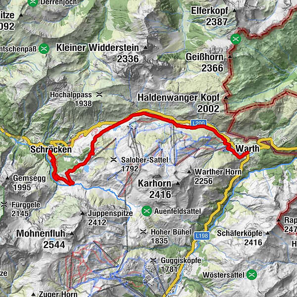
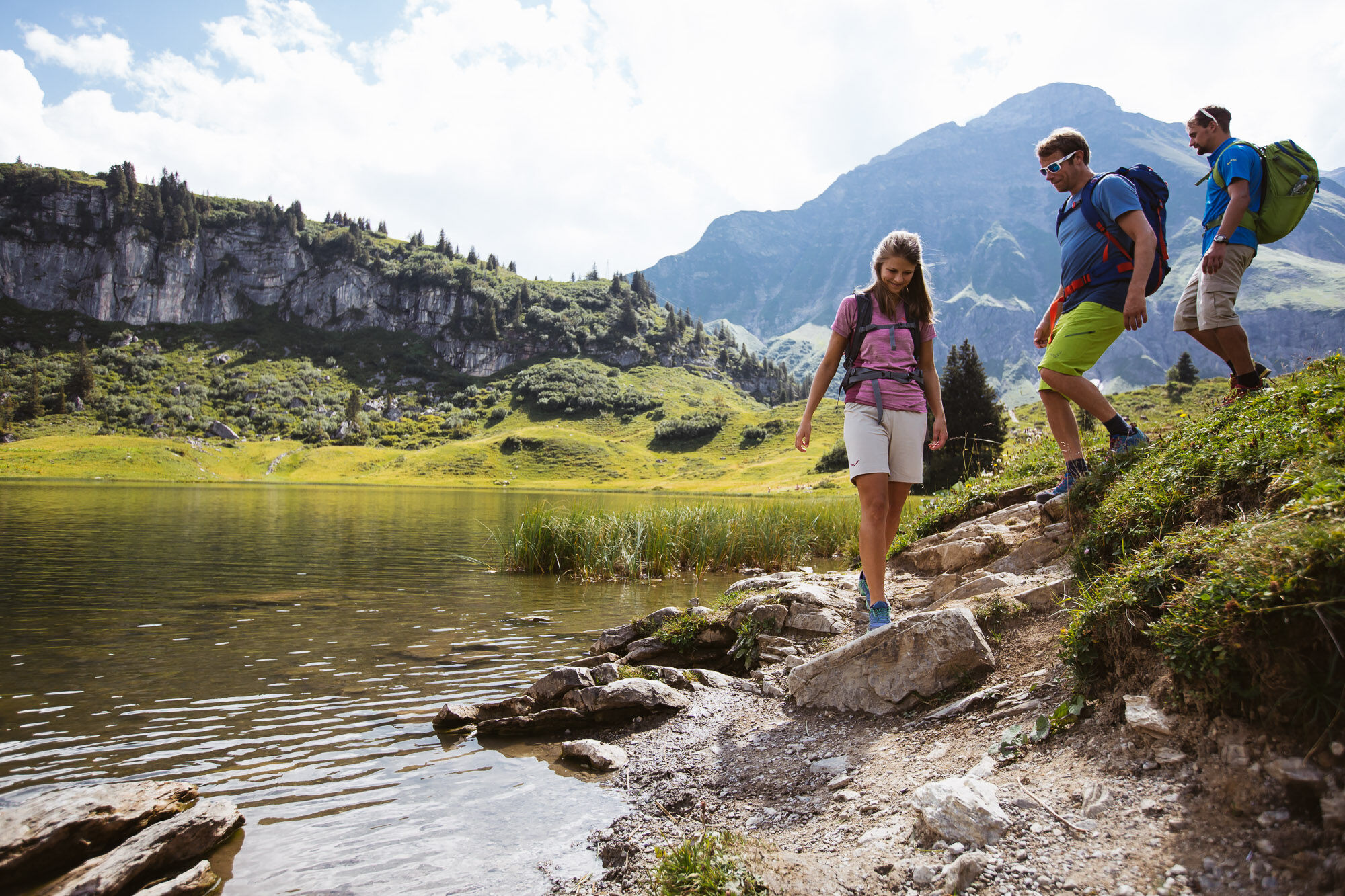
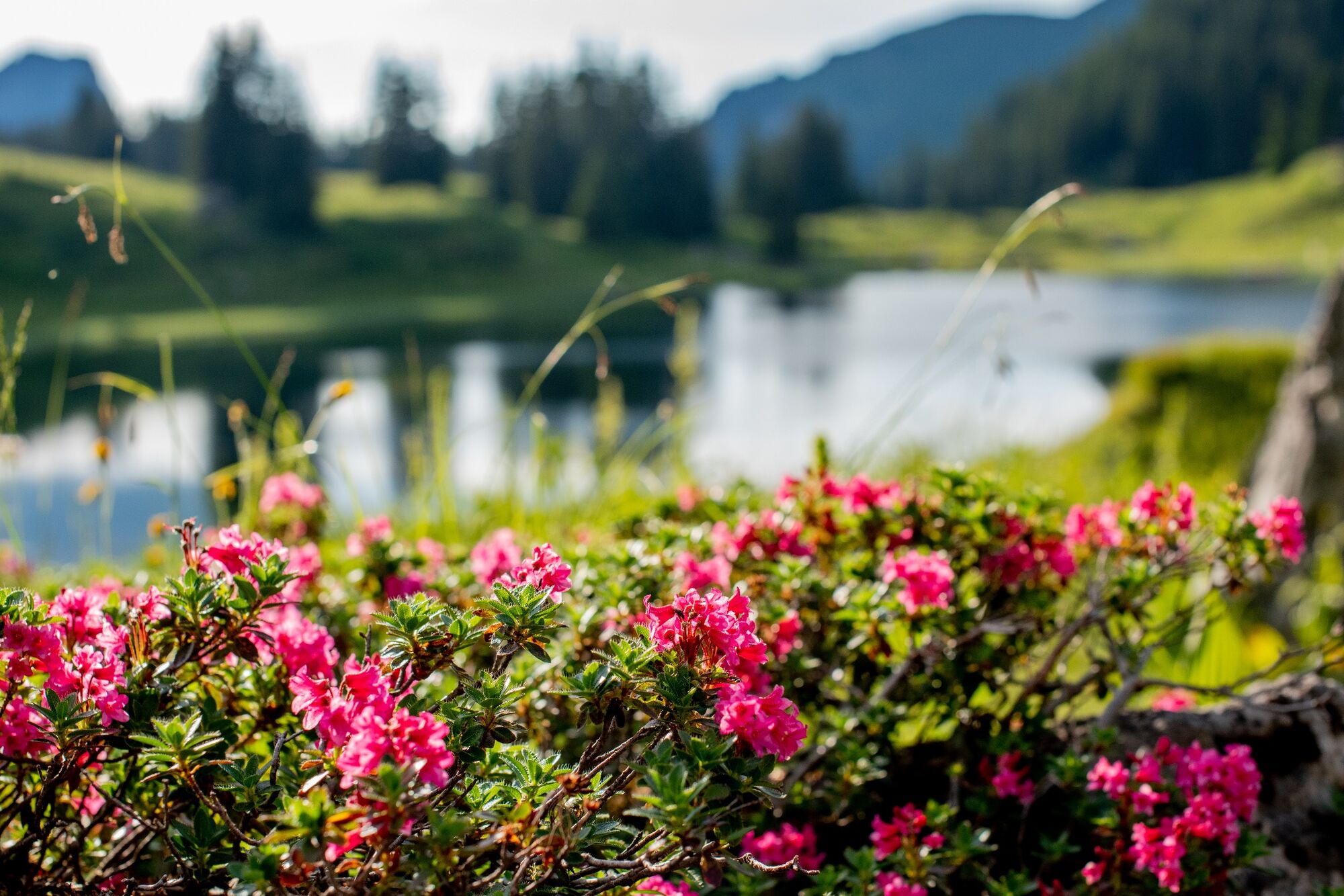
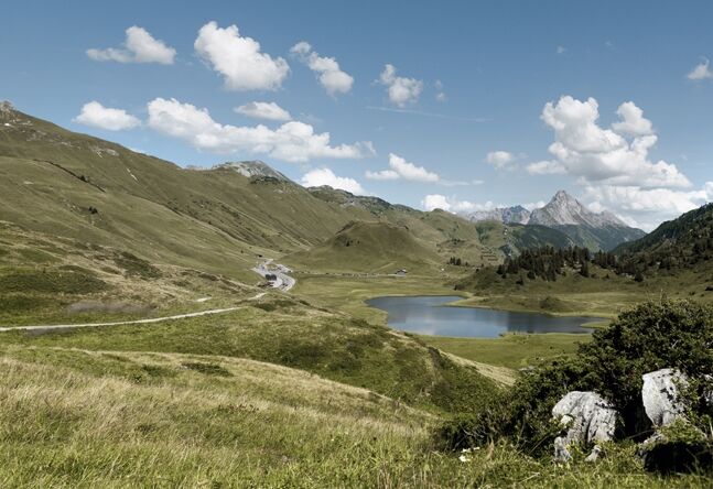
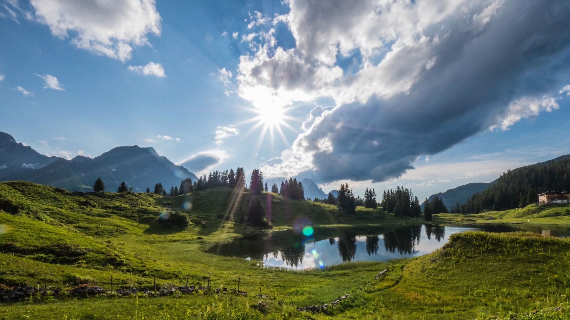
A scenically beautiful hike between the Walser villages of Warth and Schröcken, past traditional Walser houses, picturesque mountain lakes and culturally interesting locations! Starting at the hiking start point, follow the path in the direction of the Steffisalp-Express to the plot Wolfegg. The Alte Salzstraße continues past the Hotel Jägeralpe in the direction of the Hochtannbergpass. Here the path leads you past the Kalbelesee lake to the picturesque Körbersee. The mountain hotel invites you to take a breather before the path leads you past the Alpmuseum Uf'm Tannberg to the village of Schröcken.
- Sværhedsgrad
-
medium
- Evaluering
-
- Rute
-
Warth (1.495 m)Huber Alpe0,5 kmWolfegg1,4 kmHolzbodenalpe2,9 kmSennkuchl3,5 kmJägeralpe3,5 kmHochkrumbach3,8 kmSchröcken (1.269 m)11,3 kmTannberg11,3 km
- Bedste sæson
-
janfebmaraprmajjunjulaugsepoktnovdec
- Højeste punkt
- 1.740 m
- Destination
-
Schröcken village square
- Højdeprofil
-

- Forfatter
-
Rundvisningen From Warth over the Hochtannbergpass and Körbersee to Schröcken bruges af outdooractive.com forudsat.
GPS Downloads


Generel information
Forfriskningsstop
Kulturel/Historisk
Insider-tip
Flere ture i regionerne


