

© Alpenregion Bludenz Tourismus GmbH - Melanie Fleisch

© Alpenregion Bludenz Tourismus GmbH - Melanie Fleisch

© Alpenregion Bludenz Tourismus GmbH - Melanie Fleisch

© Alpenregion Bludenz Tourismus GmbH - Melanie Fleisch

© Alpenregion Bludenz Tourismus GmbH - Melanie Fleisch

© Alpenregion Bludenz Tourismus GmbH - Melanie Fleisch

© Alpenregion Bludenz Tourismus GmbH - Melanie Fleisch

© Vorarlberg Tourismus GmbH
- Kort beskrivelse
-
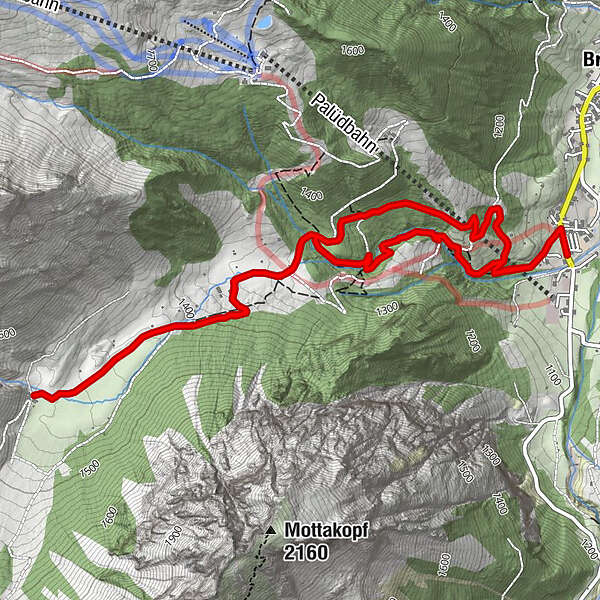
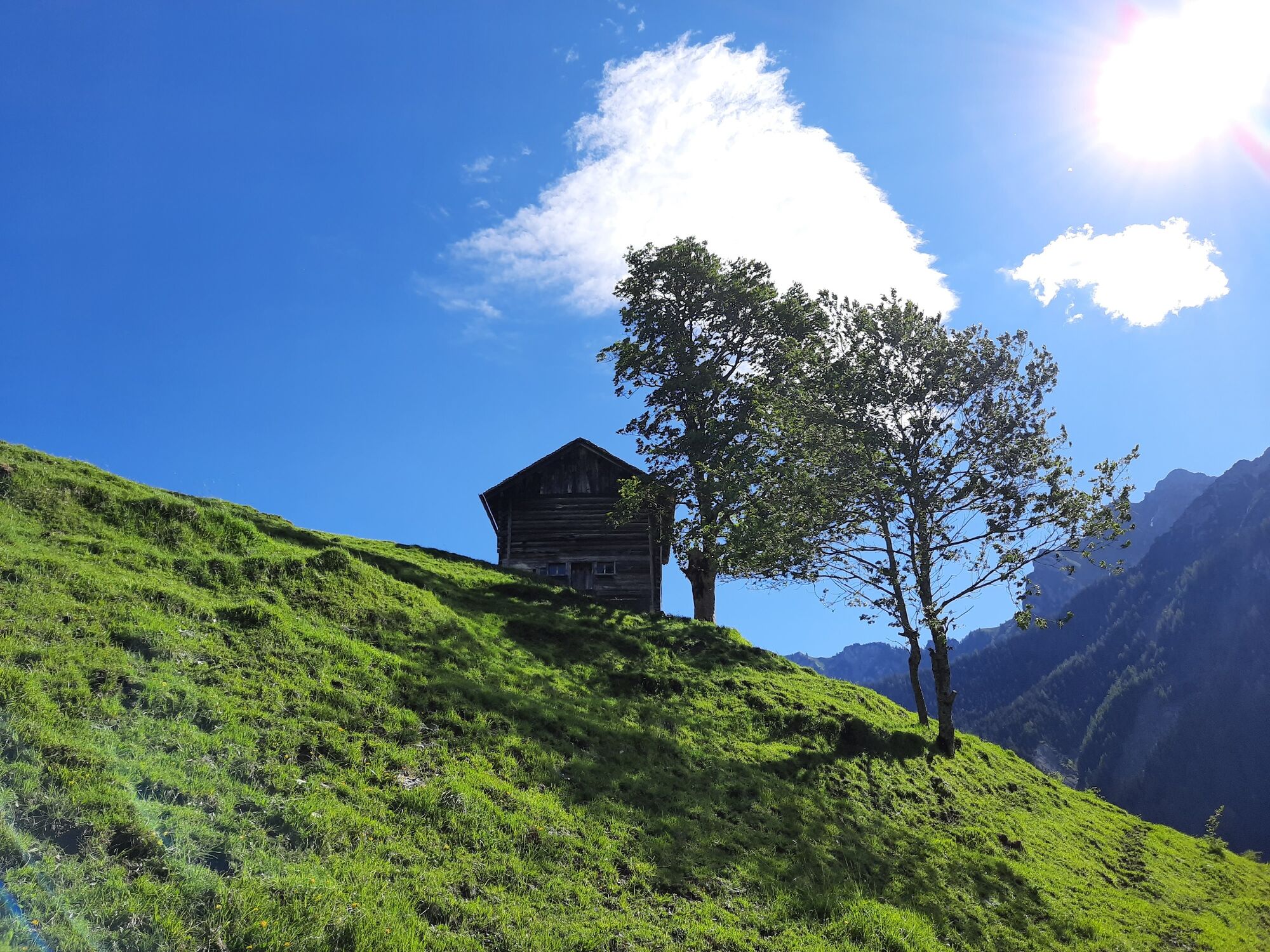
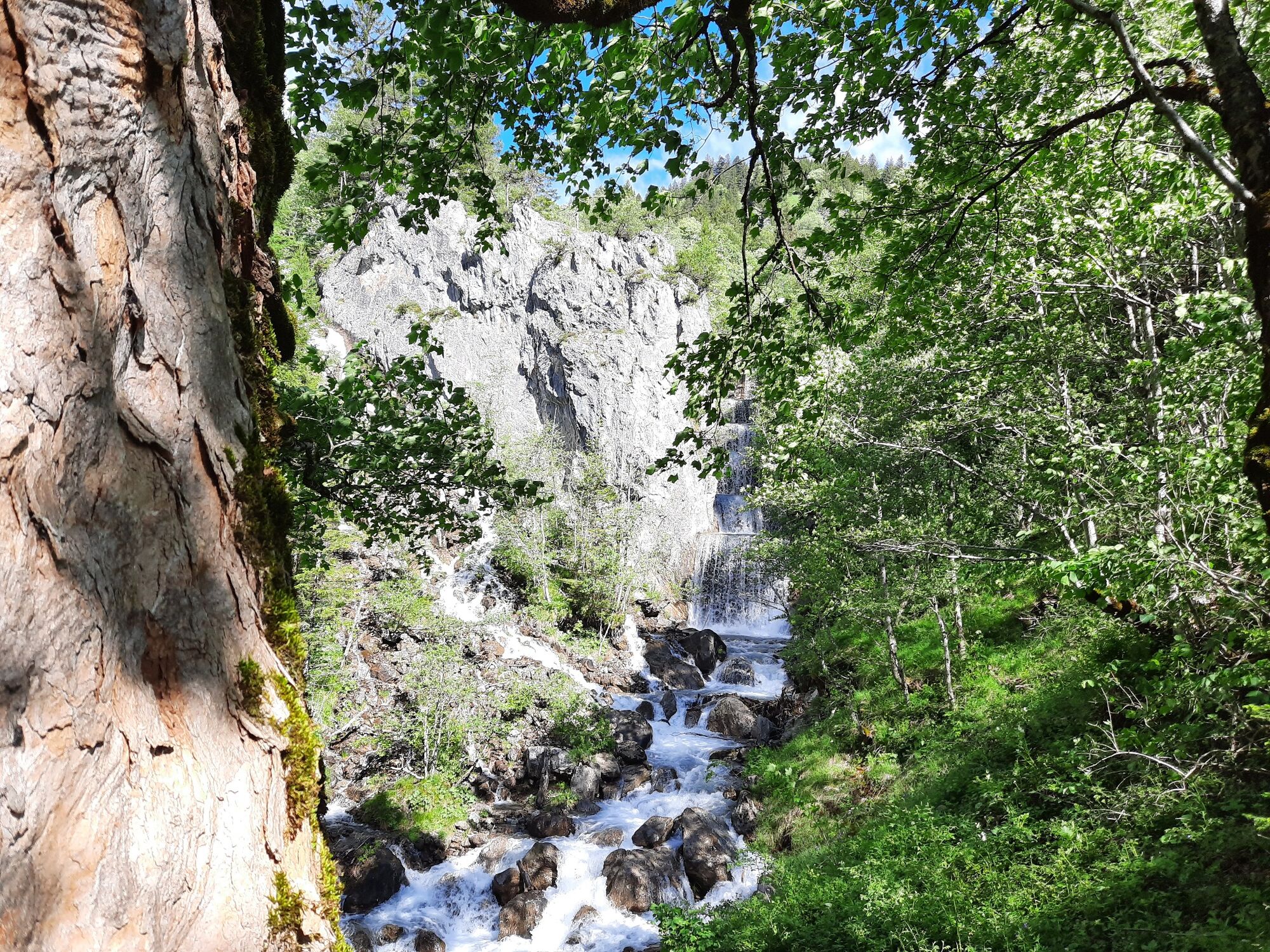
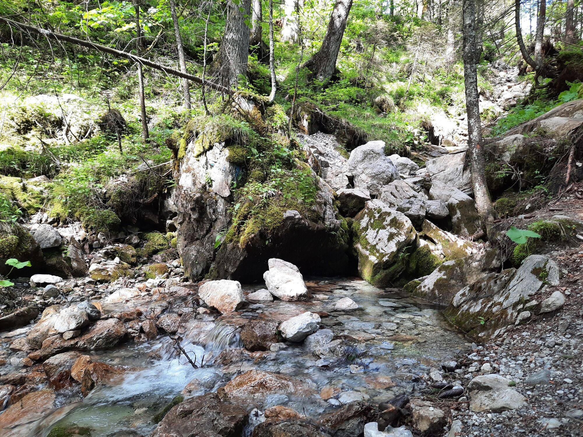
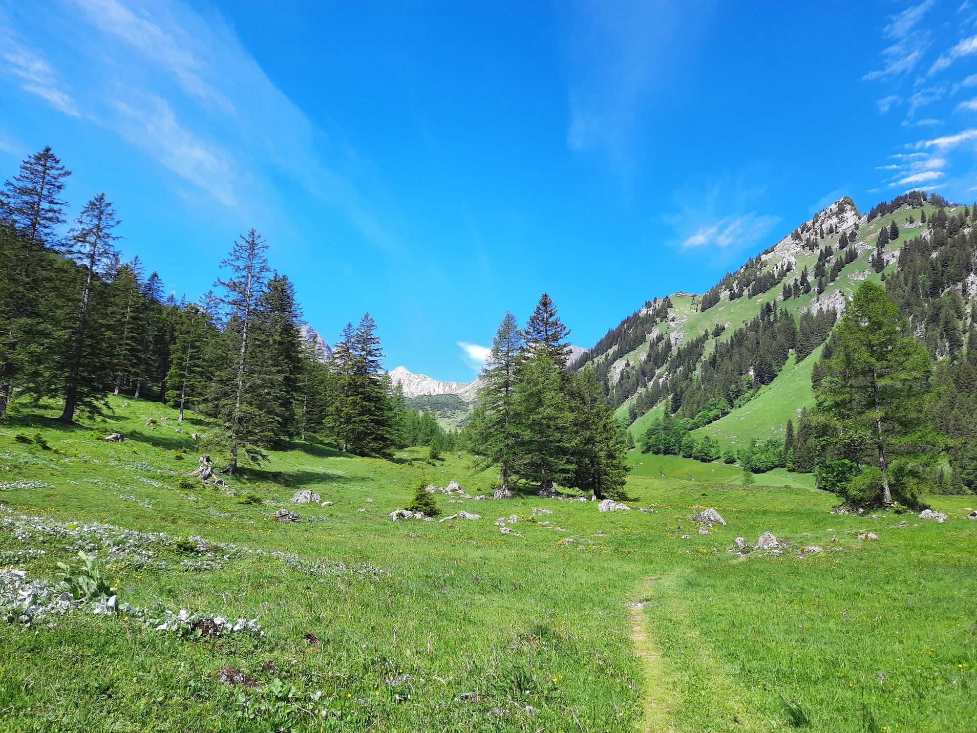
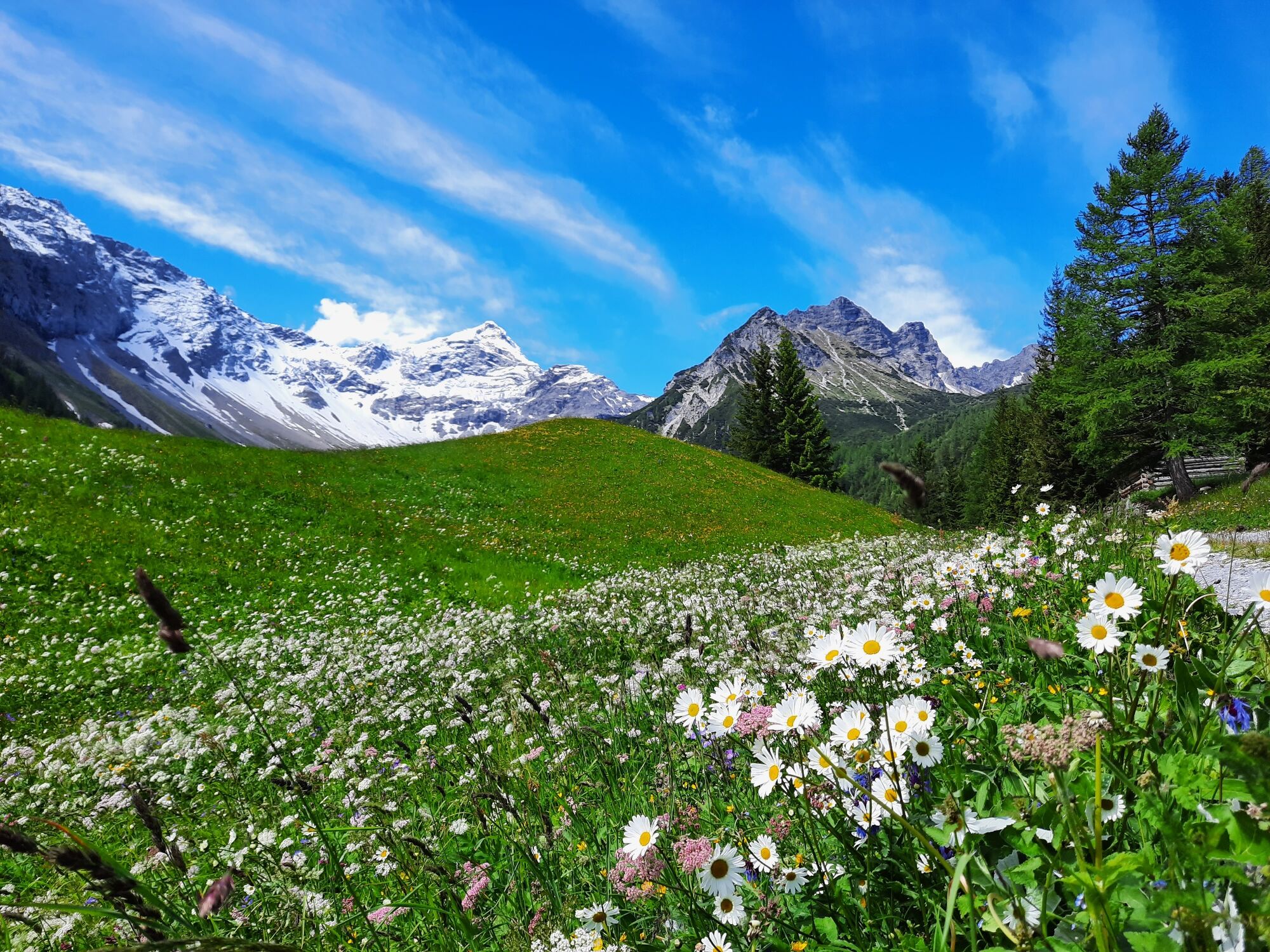
Hike through the unspoiled Zalim valley past the Glingabrunnen fountain to the Untere Brüggele Alpe.
- Sværhedsgrad
-
let
- Evaluering
-
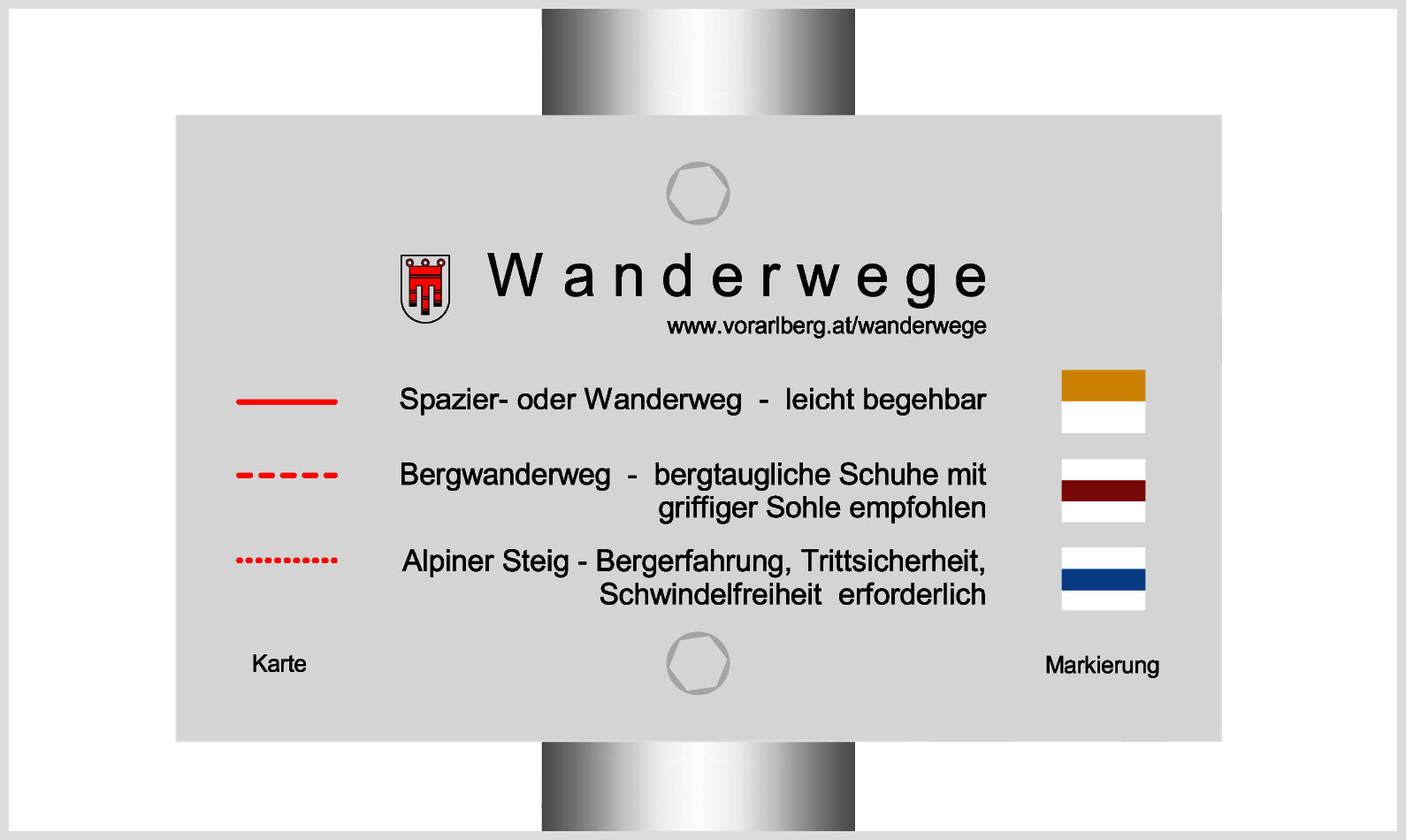
- Rute
-
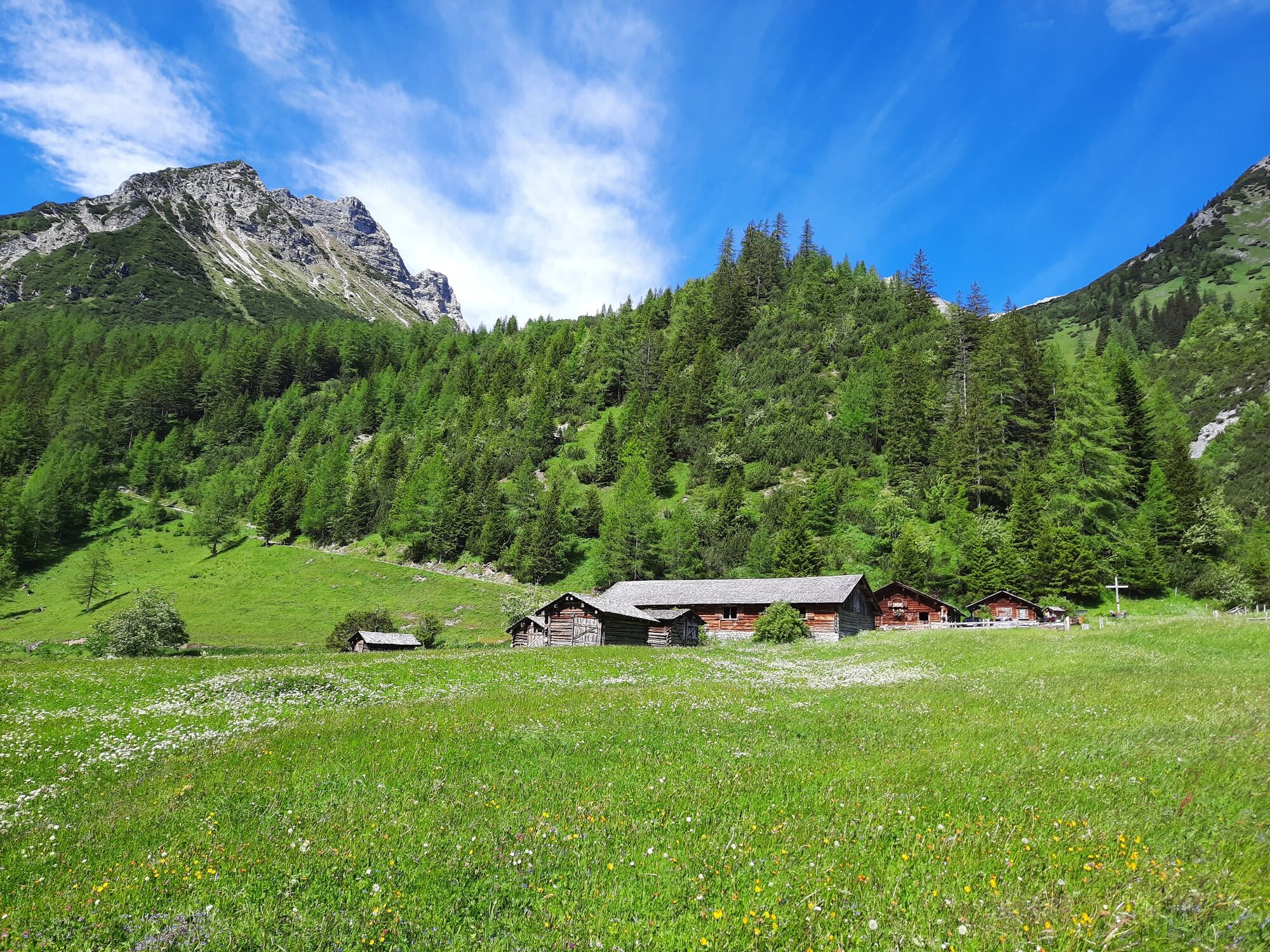
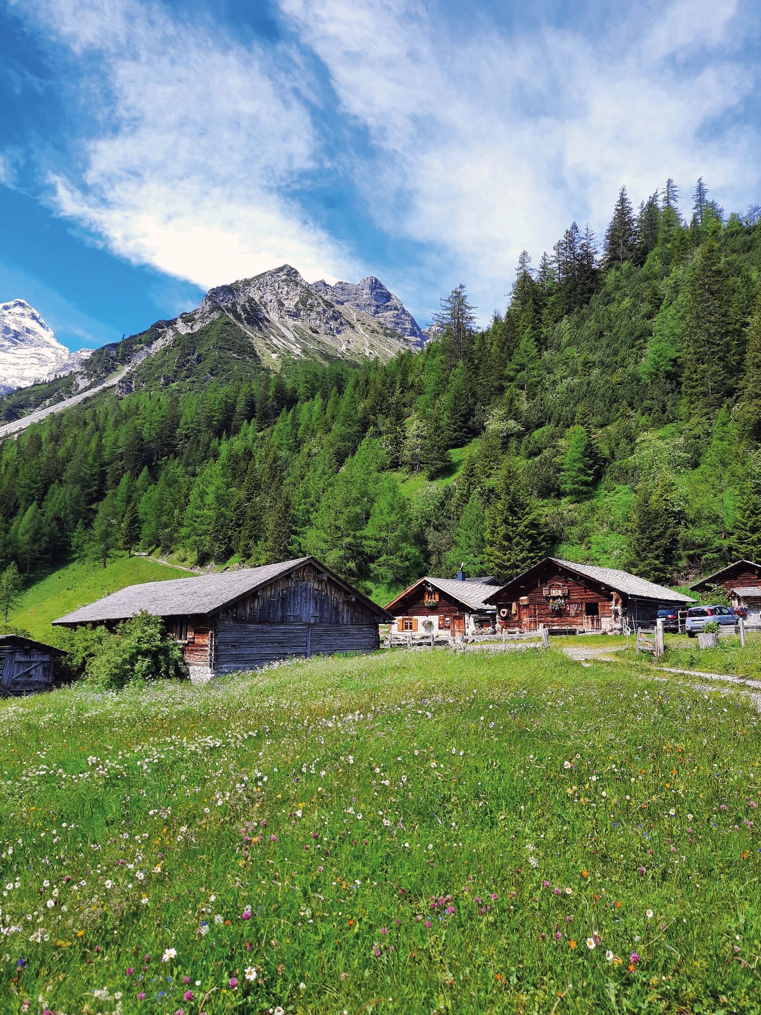
Untere Brüggele Alp (1.469 m)3,5 km
- Bedste sæson
-
janfebmaraprmajjunjulaugsepoktnovdec
- Højeste punkt
- 1.465 m
- Destination
-
Innertal, Brand
- Højdeprofil
-

- Forfatter
-
Rundvisningen To the Untere Brüggele Alpe | Brand bruges af outdooractive.com forudsat.
GPS Downloads


Generel information
Forfriskningsstop
Lovende
Flere ture i regionerne
-
Heidiland
2201
-
Brandnertal
1567
-
Brand
431


