

© Warth-Schröcken Tourismus - Sebastian Stiphout

© Warth-Schröcken Tourismus - Sebastian Stiphout

© Warth-Schröcken Tourismus - Sebastian Stiphout

© Warth-Schröcken Tourismus - Sebastian Stiphout

© Warth-Schröcken Tourismus - Sebastian Stiphout

© Warth-Schröcken Tourismus - Sebastian Stiphout

- Kort beskrivelse
-
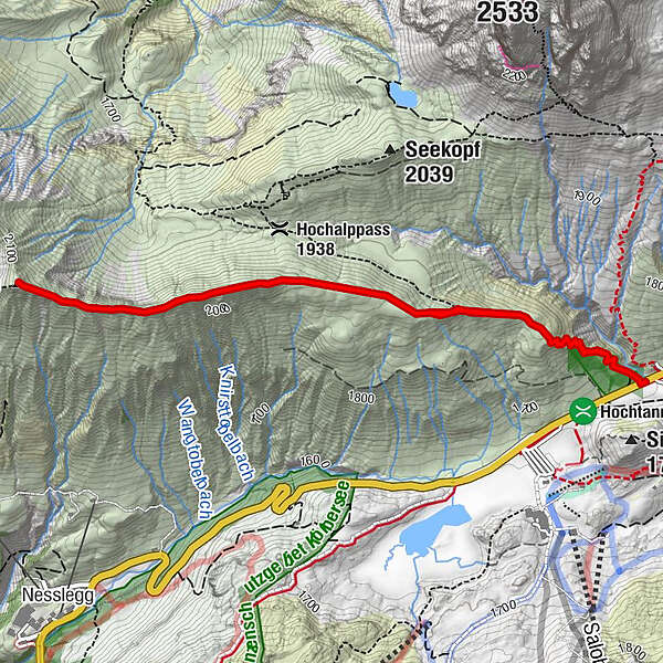
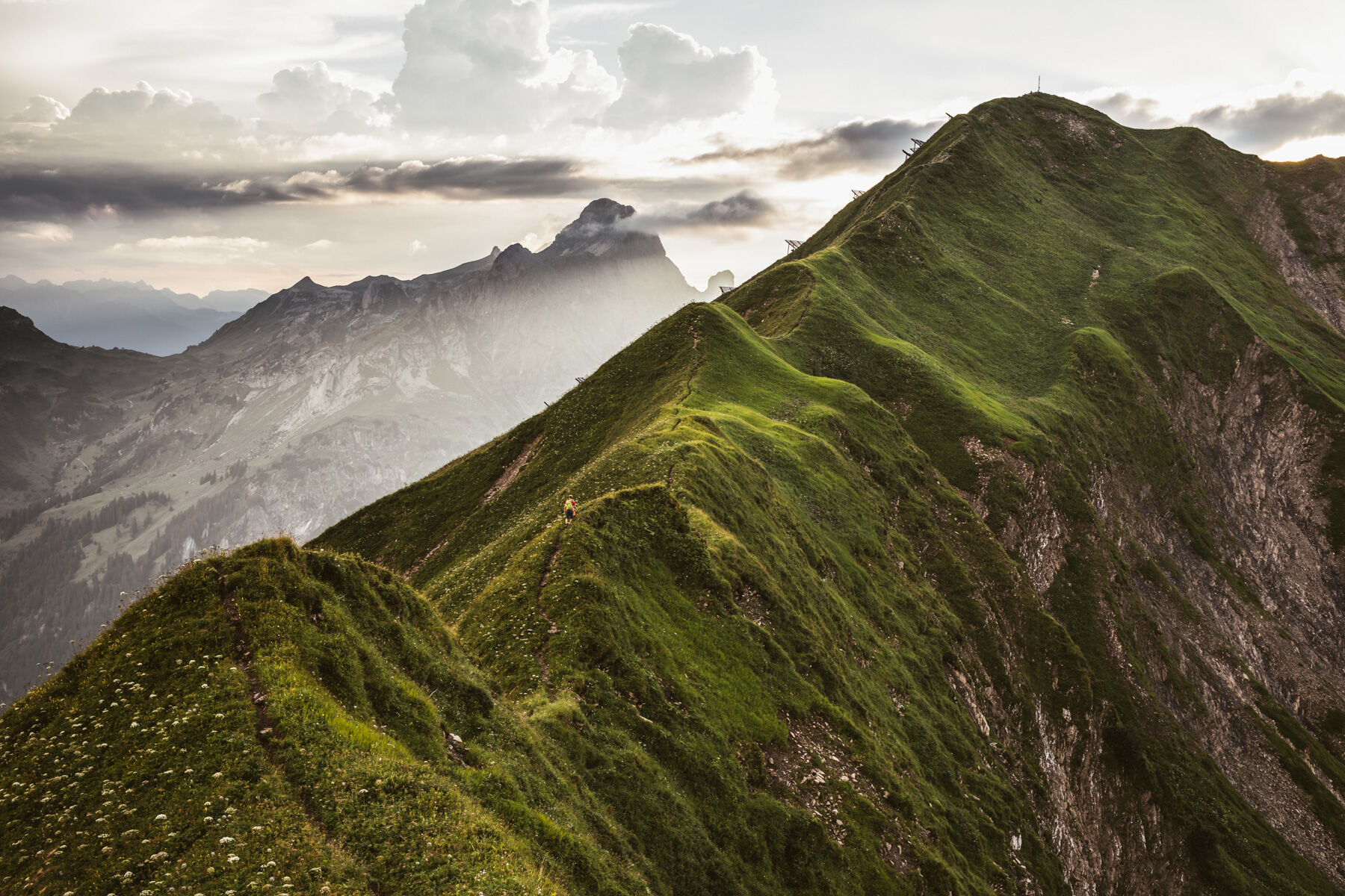
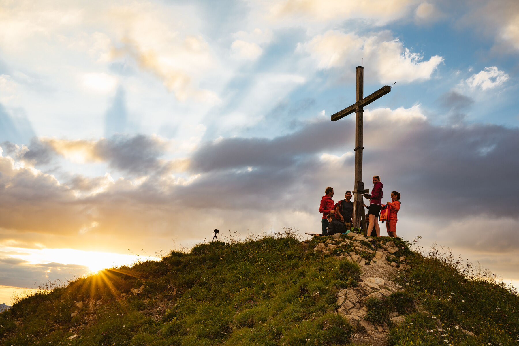
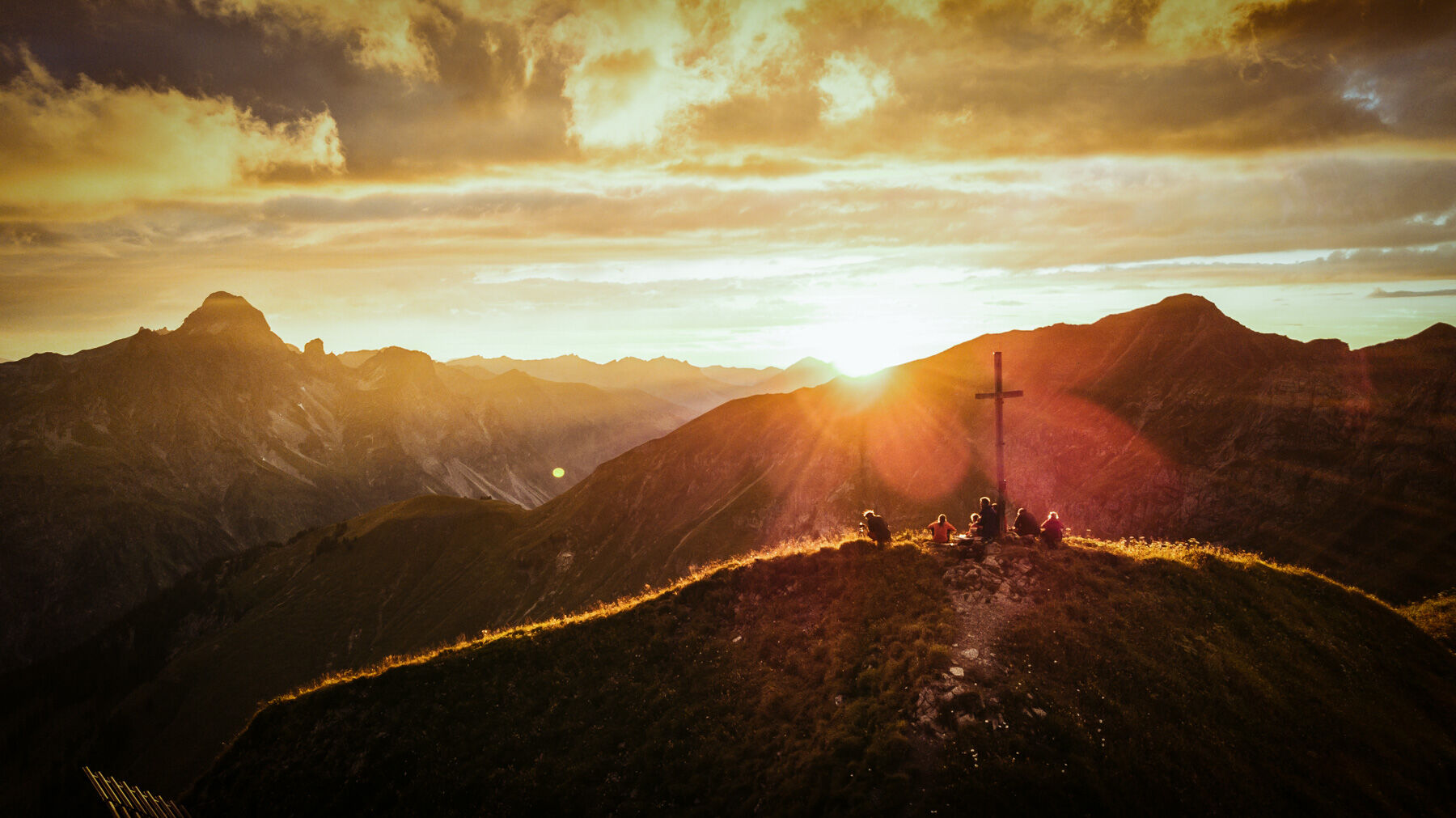
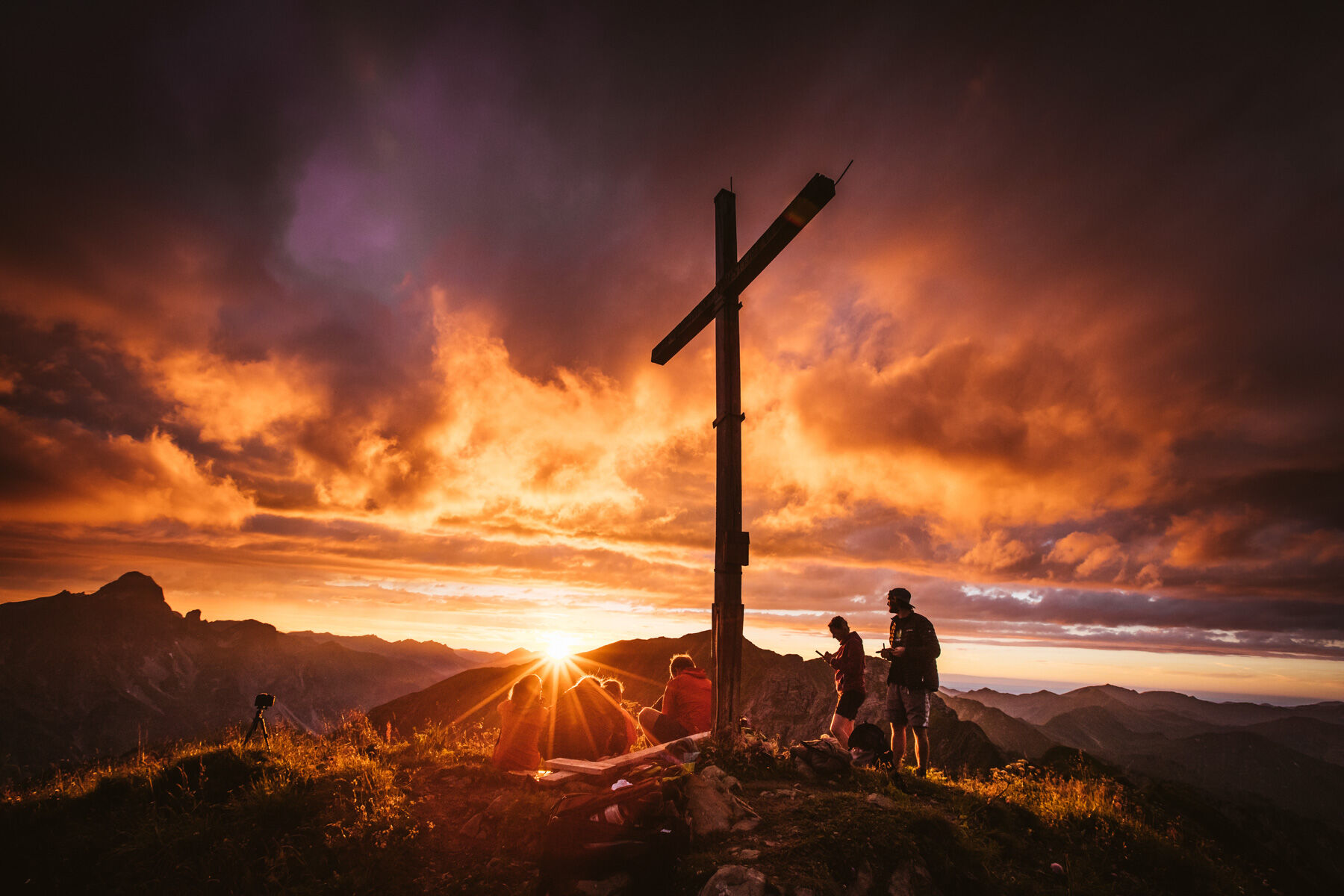
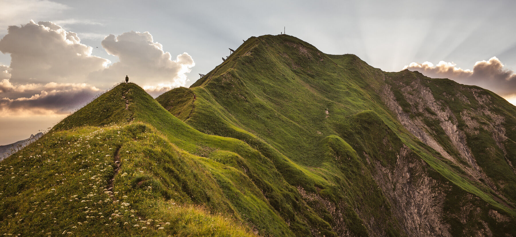
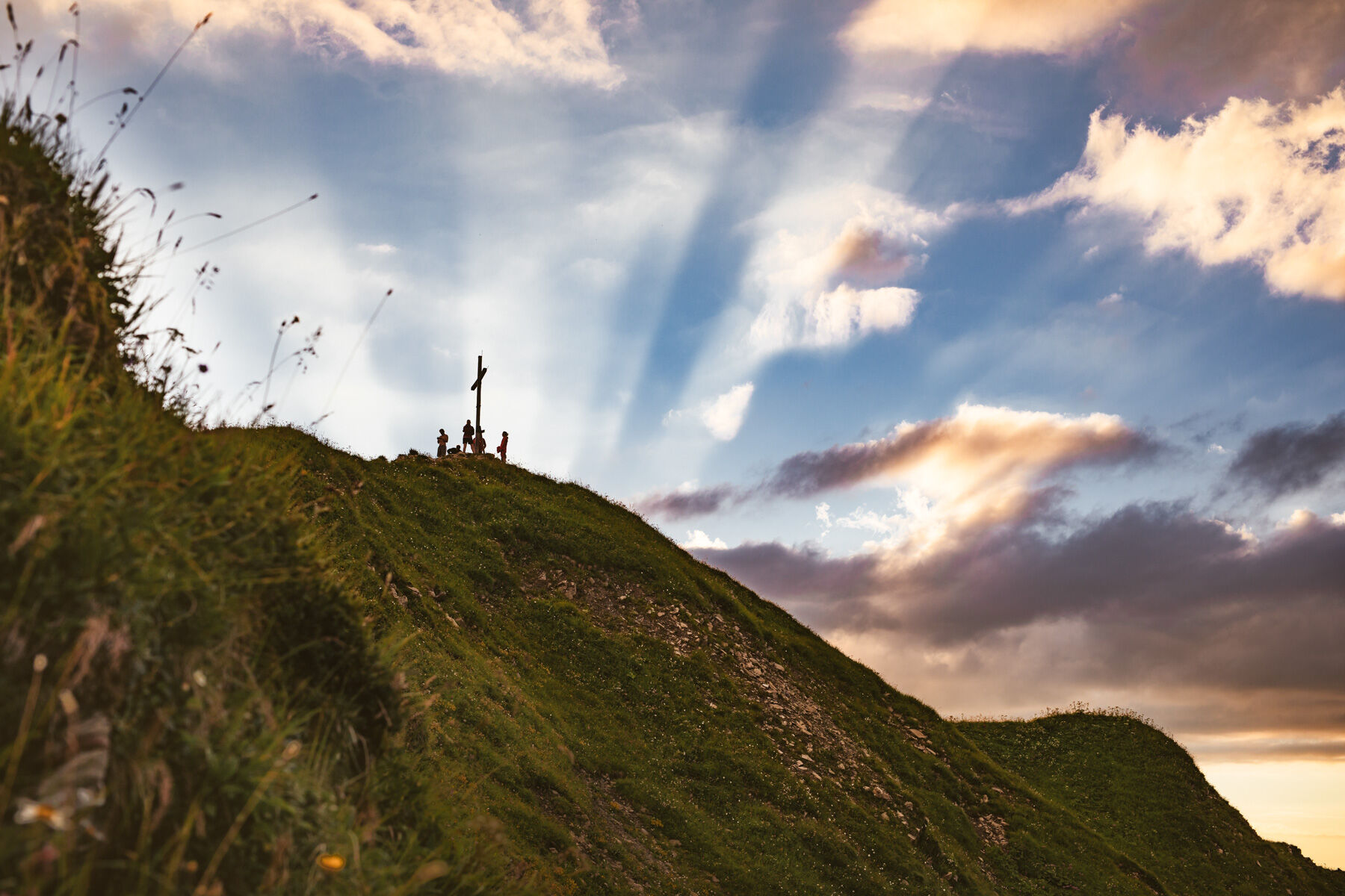
The Höferspitze (2. 131m) is a beautiful mountain with a view of the Kleinwalsertal, the rocky Widderstein, the Braunarl massif and Schröcken. From the Hochtannbergpass it goes steadily upwards until you see the Hochalppass junction. Why don’t you just take a break here and take a deep breath? From here, take the path to the west until you reach the Höferkamm. Stepping safety, dizziness and calm breath must now be absolutely given here, as the path from here is partially exposed. Soon you have made it and can proudly register in the summit book. It’s the same way back. The peak of the courtyard is easy to climb, but children should climb to the rope in the exposed areas and on slippery ground.
- Sværhedsgrad
-
tung
- Evaluering
-
- Rute
-
Höferspitze (2.131 m)2,8 km
- Bedste sæson
-
janfebmaraprmajjunjulaugsepoktnovdec
- Højeste punkt
- 2.127 m
- Destination
-
Hochtannbergpass
- Højdeprofil
-

- Forfatter
-
Rundvisningen Höferspitze (2.131 m) from Hochtannbergpass bruges af outdooractive.com forudsat.
GPS Downloads


Generel information
Flora
Lovende
Flere ture i regionerne


