© Bregenzerwald Tourismus - Ligia Gonzalez

© Bregenzerwald Tourismus - Ligia Gonzalez

© Bregenzerwald Tourismus - Ligia Gonzalez

© Bregenzerwald Tourismus - Ligia Gonzalez

© Bregenzerwald Tourismus - Ligia Gonzalez

© Bregenzerwald Tourismus - Ligia Gonzalez

© Bregenzerwald Tourismus - Ligia Gonzalez

© Bregenzerwald Tourismus - Ligia Gonzalez

© Bregenzerwald Tourismus - Ligia Gonzalez


- Kort beskrivelse
-
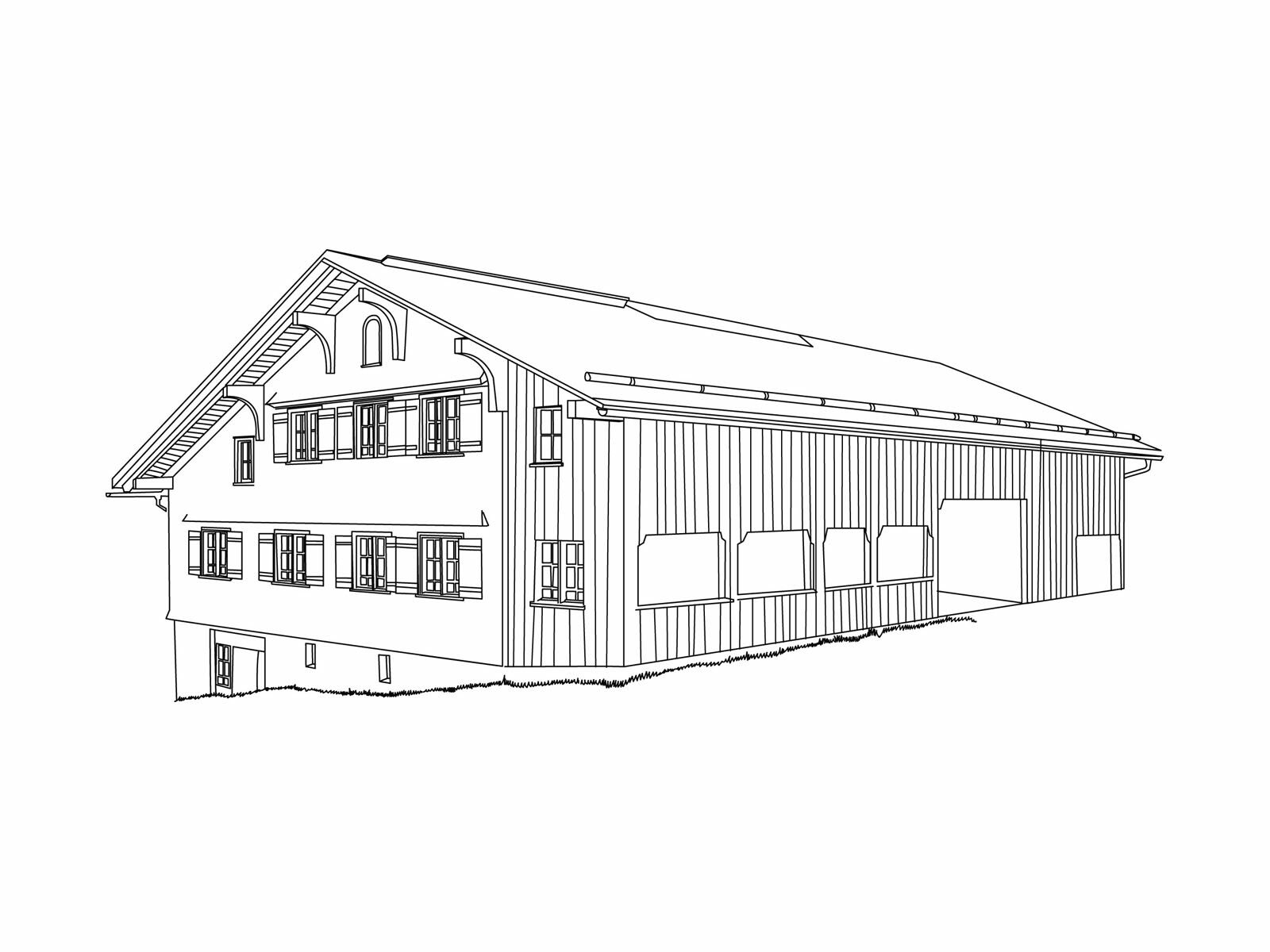
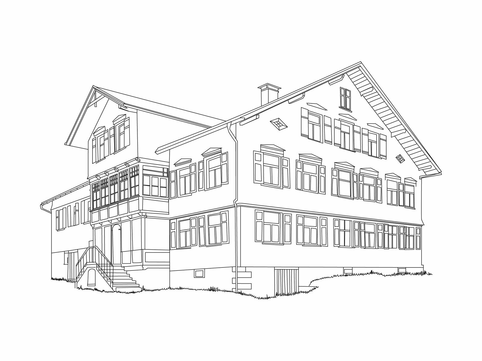
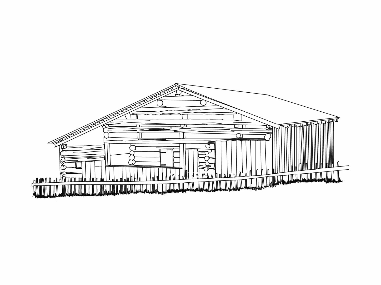
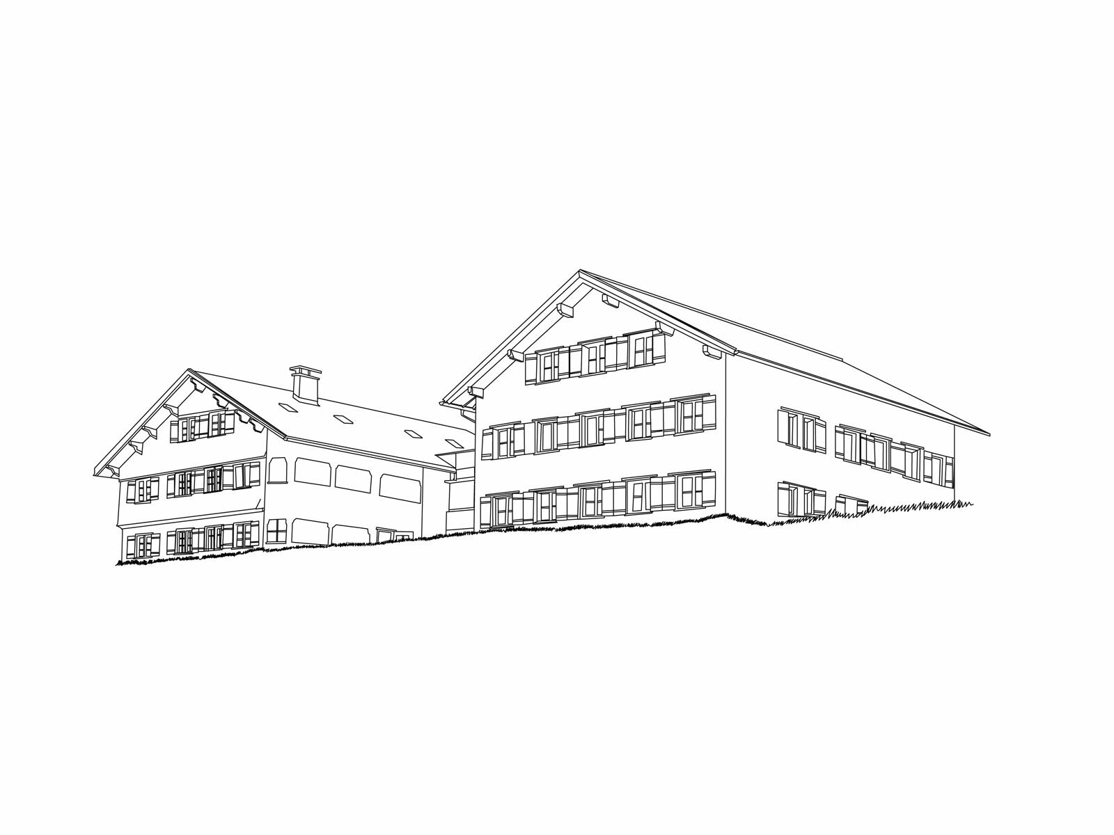
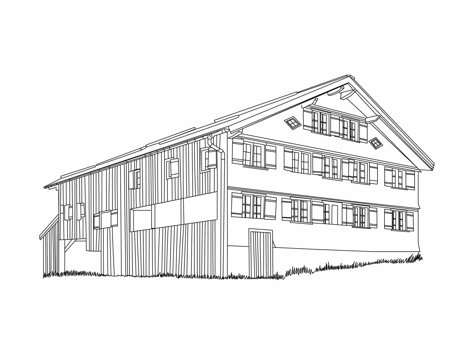
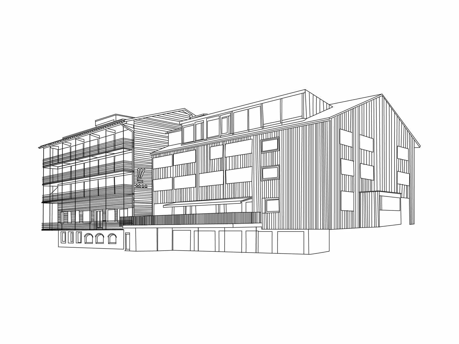
Au, a village in the flood plains next to the sometimes wild waters of the Bregenzerach, produced remarkable artists in the form of its baroque masterbuilders. Their sacred buildings in the region between Lake Constance and Alsace are still greatly admired these days. The village itself is made up of several parts which, once upon a time, self-confidently faced one another. The people here created a landscape typical of the Hinterwald. It goes back to the rural three-level farming system comprising valley, mountain pasture and alp. Utility spaces, shingles and lace curtains form a further important trio of design elements – in this case, outside of, on and in the Bregenzerwald farmhouses.
- Sværhedsgrad
-
let
- Evaluering
-
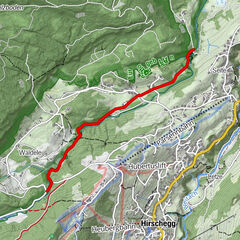
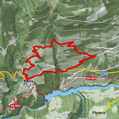
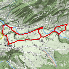
- Rute
-
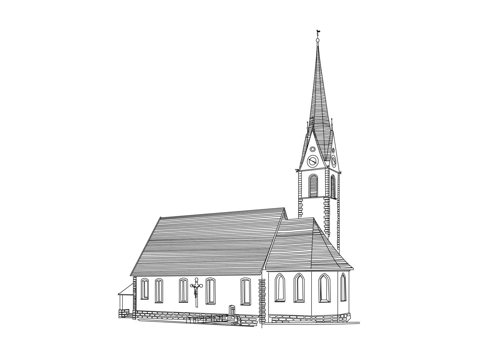
Pfarrkirche St. Leonhard0,0 kmAu (800 m)0,2 kmLisse0,2 kmArgenau2,1 kmNeugrund2,3 kmSägerstuben2,4 kmHotel Restaurant Schiff3,2 kmGasthaus Löwen3,9 kmLebernau4,3 kmSt. Josef6,7 kmRehmen6,8 kmAu (800 m)8,2 kmLisse8,3 kmPfarrkirche St. Leonhard8,8 km
- Bedste sæson
-
janfebmaraprmajjunjulaugsepoktnovdec
- Højeste punkt
- 916 m
- Destination
-
Parish church Au
- Højdeprofil
-


- Forfatter
-
Rundvisningen Umgang Au bruges af outdooractive.com forudsat.
GPS Downloads


Generel information
Forfriskningsstop
Lovende
Flere ture i regionerne
-
Bregenzerwald
2297
-
Au - Schoppernau
756