© Bregenzerwald Tourismus - Cornelia Kriegner

© Bregenzerwald Tourismus - Cornelia Kriegner

© Bregenzerwald Tourismus - Cornelia Kriegner

© Bregenzerwald Tourismus - Cornelia Kriegner

© Bregenzerwald Tourismus - Cornelia Kriegner

© Bregenzerwald Tourismus - Cornelia Kriegner

- Kort beskrivelse
-
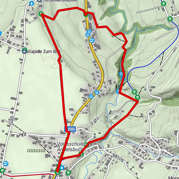
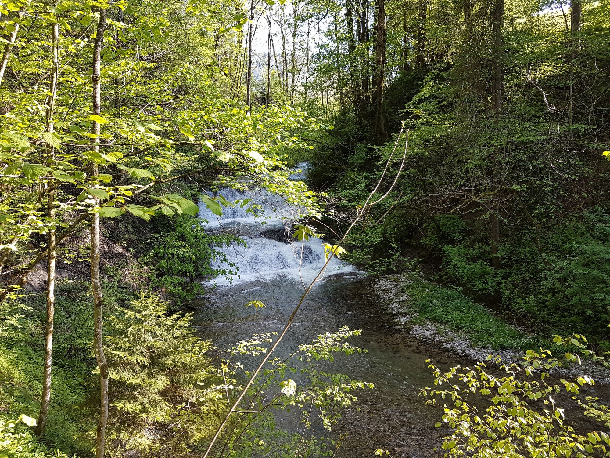
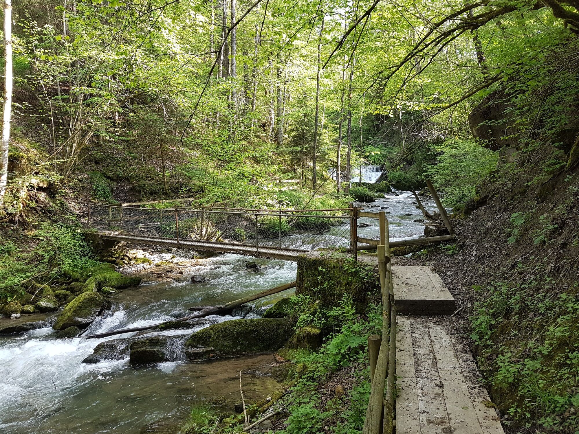
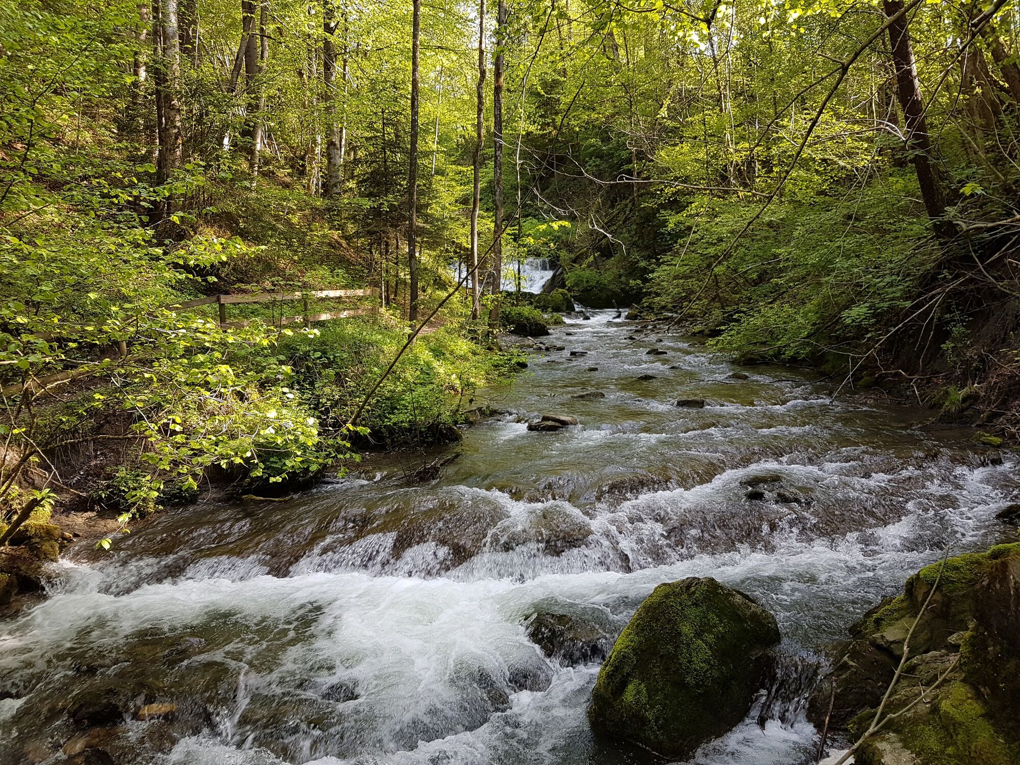
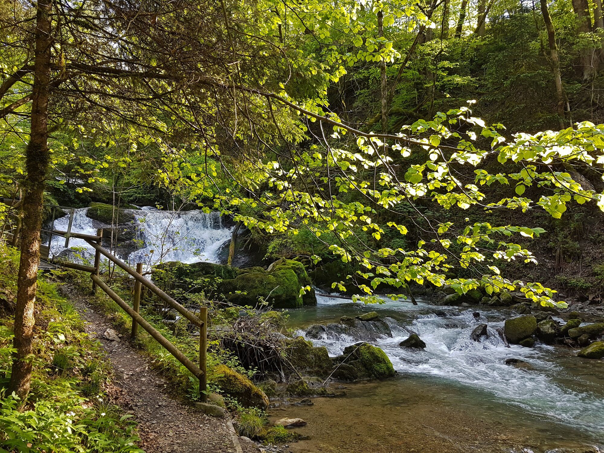
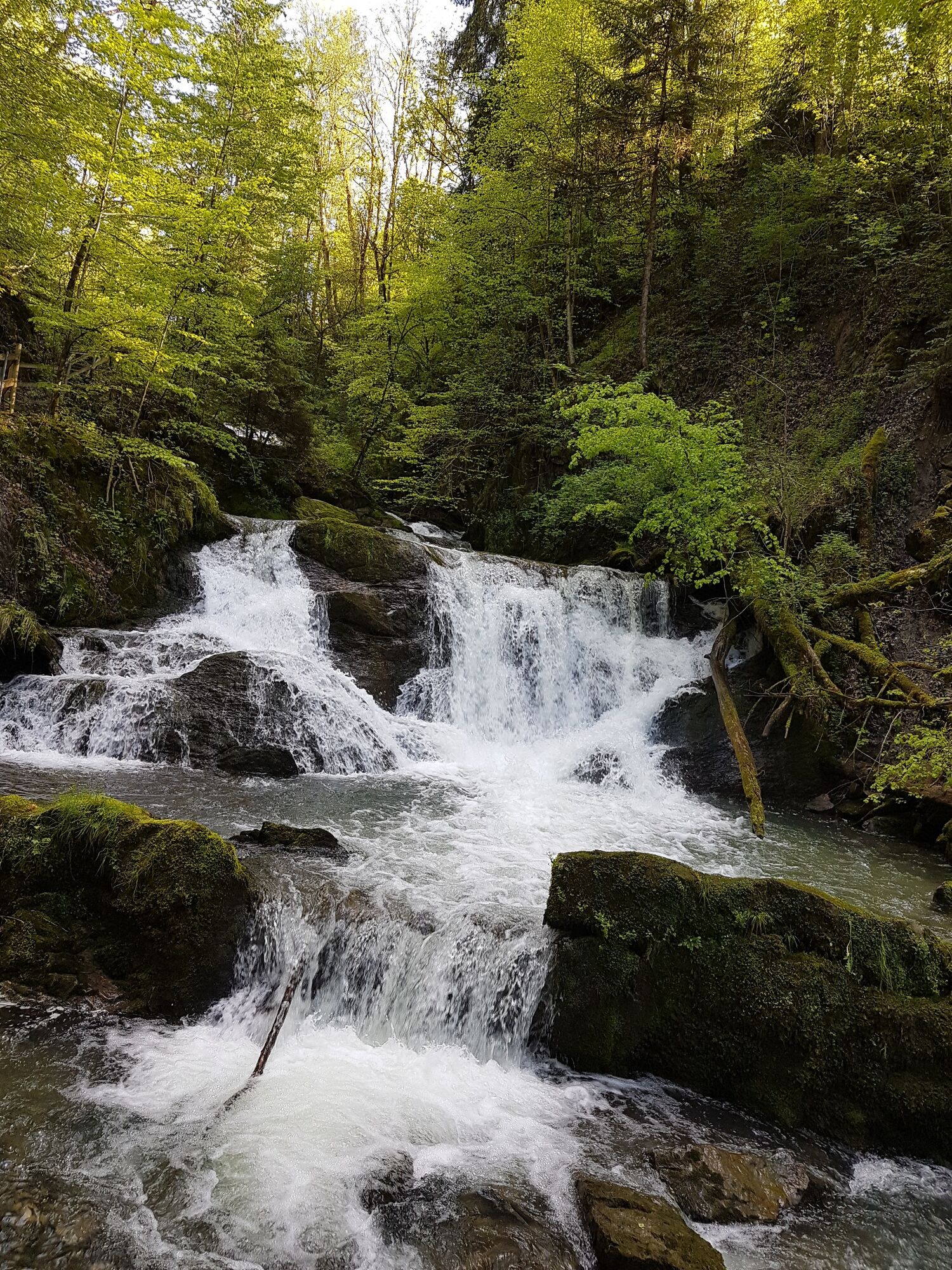
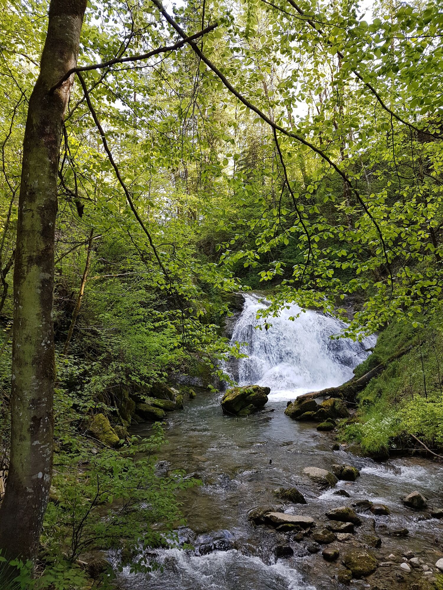
The trails runs through the light-flooded beech forest into the gorge formed by the stream that runs through the village of Andelsbuch. There are waterfalls to admire there.
- Sværhedsgrad
-
let
- Evaluering
-
- Rute
-
AndelsbuchPfarrkirche Andelsbuch0,0 kmWasserfälle Brühlbach0,9 km
- Bedste sæson
-
janfebmaraprmajjunjulaugsepoktnovdec
- Højeste punkt
- 613 m
- Destination
-
Andelsbuch Church
- Højdeprofil
-

- Forfatter
-
Rundvisningen Andelsbuch I trails leading to water bruges af outdooractive.com forudsat.
GPS Downloads


Flere ture i regionerne
-
St. Gallen - Bodensee
2066
-
Bregenzerwald
2296
-
Andelsbuch
670