
- Kort beskrivelse
-
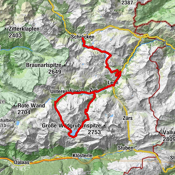
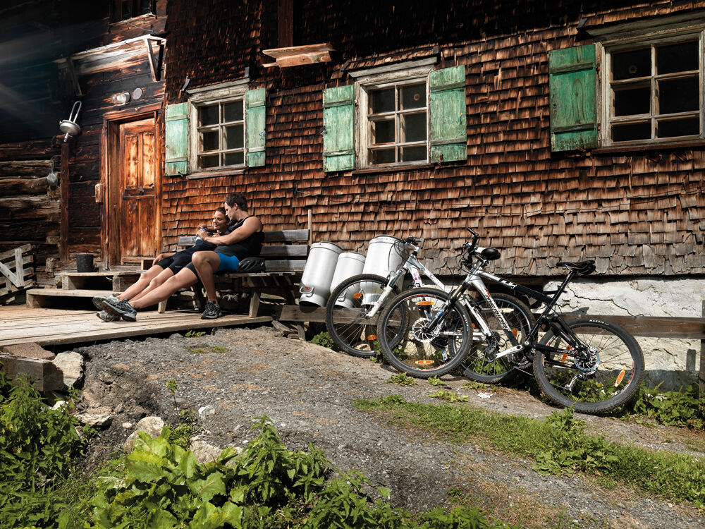
From the centre of Schröcken, take the wide gravel road up to Auenfeld. Via the Auenfeldsattel it goes now towards Oberlech and into the center of Lech. Opposite the Hotel Post, you have to turn right over a bridge, then immediately turn left towards Zug. A paved road leads you now approx. 1 hour to the junction Spullersee/Formarinsee. Here you go uphill on the left past the Alpe Dalaaser Staffel to the Spullersee. On a gravel track you round the lake over the south side, from here the path climbs towards Ravensburger Hütte. After the Ravensburger Hütte you cross the stream on the left over a stone bridge at the Alpe Brazer Staffel and continue uphill to the Stierlochjoch (2. 009 m). From here it goes down on coarse gravel through serpentines to the Stierlochalpe. Follow the path downhill towards Zug. You meet at the fish pond on an asphalt road. Here you go uphill again and turn right into the main road. From here it goes through the centre of Zug on the same way back to the starting point.
- Sværhedsgrad
-
medium
- Evaluering
-
- Rute
-
Schröcken (1.269 m)Materialseilbahn Körbersee0,1 kmUntere Auenfeldalpe5,1 kmAbzweigung Burgplateau10,3 kmGotikkirche Hl. Nikolaus12,8 kmLech (1.444 m)13,1 kmZug15,7 kmSebastianskirche15,9 kmKlösterle16,6 kmGasthof Auerhahn16,6 kmMaterialseilbahn Göppinger Hütte19,3 kmGasthaus Älpele19,4 kmAlpe Dalaaser Stafel24,4 kmBrazer Staffel30,0 kmSebastianskirche35,1 kmZug35,2 kmLech (1.444 m)38,0 kmGotikkirche Hl. Nikolaus38,1 kmAbzweigung Burgplateau40,8 kmUntere Auenfeldalpe45,8 kmMaterialseilbahn Körbersee51,0 kmSchröcken (1.269 m)51,2 kmTannberg51,2 km
- Bedste sæson
-
janfebmaraprmajjunjulaugsepoktnovdec
- Højeste punkt
- 2.008 m
- Destination
-
Village square Warth/Village square Schröcken
- Højdeprofil
-

-

-
ForfatterRundvisningen Spullersee mountainbike round bruges af outdooractive.com forudsat.