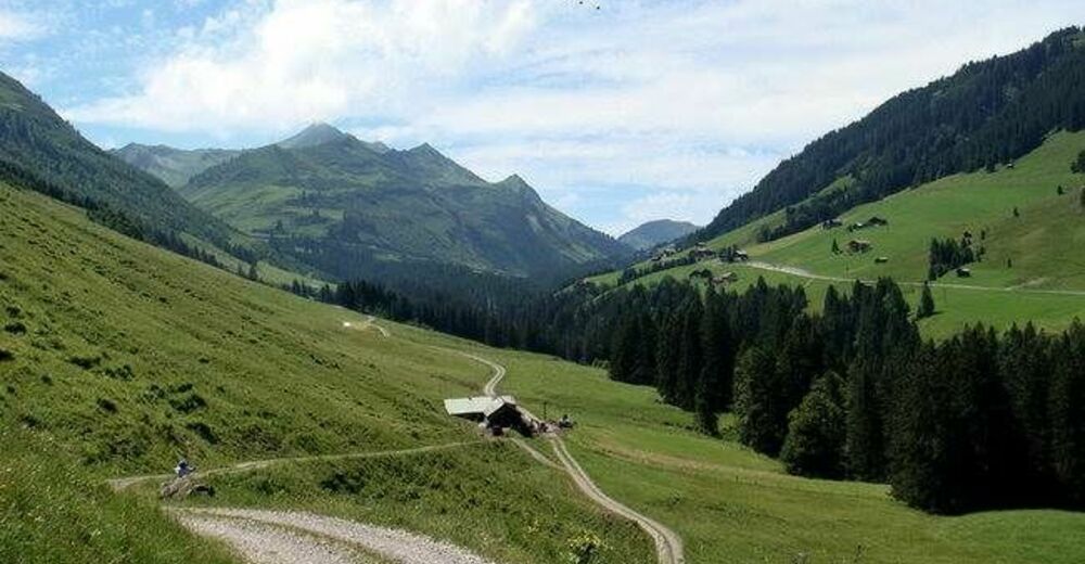
© Damüls - Faschina Tourismus - Matthias Greilach


- Kort beskrivelse
-
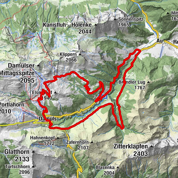
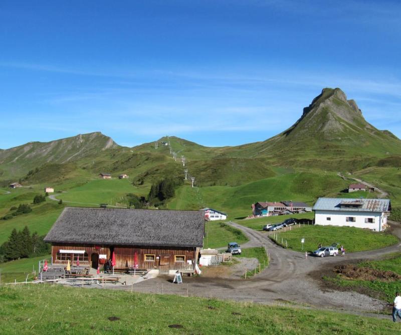
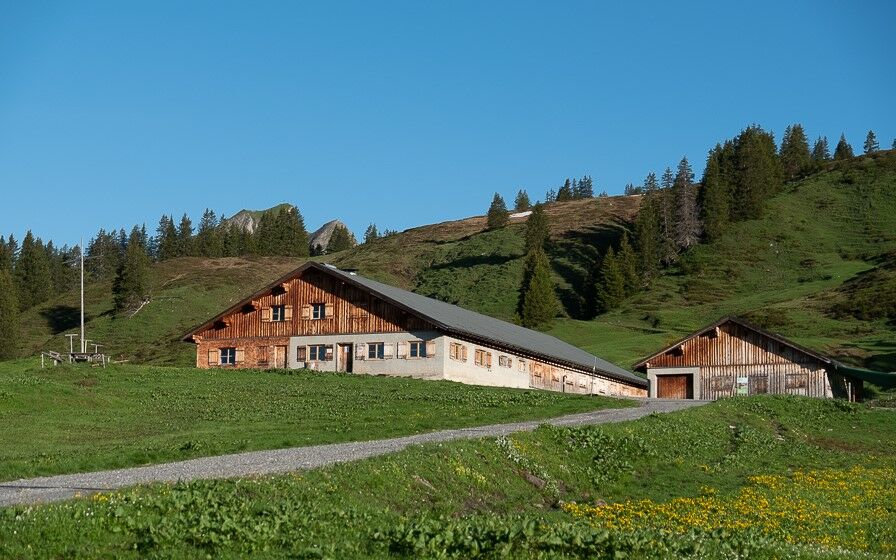
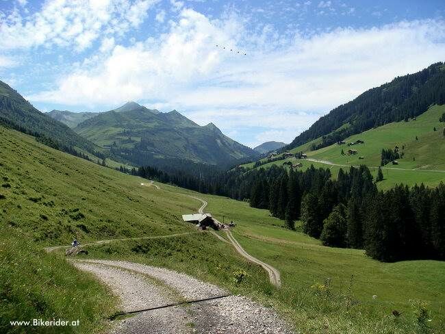
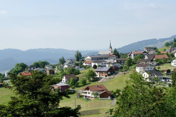
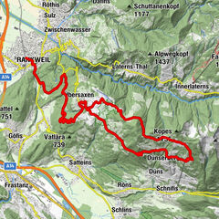
Talstation Uga-Express - Walisgaden - Alpe Uga - Mittelargenalpe - Argenwald - Argenschlucht - Bödmenalpe - Damüls
- Sværhedsgrad
-
tung
- Evaluering
-
- Rute
-
Pizzeria da Ingo0,1 kmVordere Ugaalpe4,1 kmHintere Bödmenalpe26,3 kmDamüls (1.423 m)29,0 km
- Bedste sæson
-
janfebmaraprmajjunjulaugsepoktnovdec
- Højeste punkt
- 1.786 m
- Destination
-
Damüls Uga Parkplatz
- Højdeprofil
-

-

-
ForfatterRundvisningen Damüls | Rundtour nach Au bruges af outdooractive.com forudsat.
GPS Downloads


Generel information
Forfriskningsstop
Lovende
Flere ture i regionerne


 Lech Zuers Tourismus by Hanno Mackowitz")