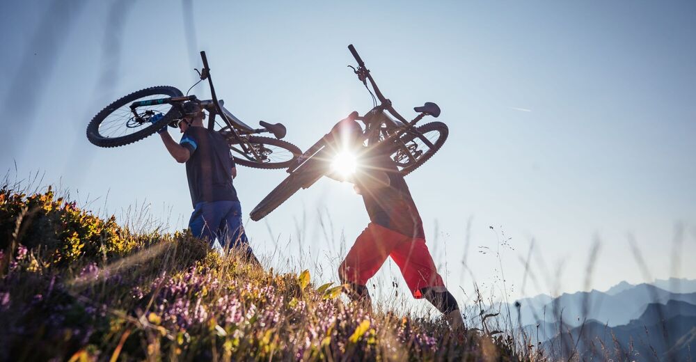
© Bregenzerwald Tourismus - Sebastian Stiphout
© Bregenzerwald Tourismus - Sebastian Stiphout

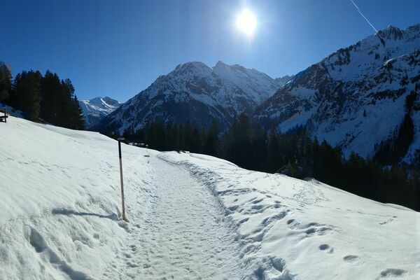
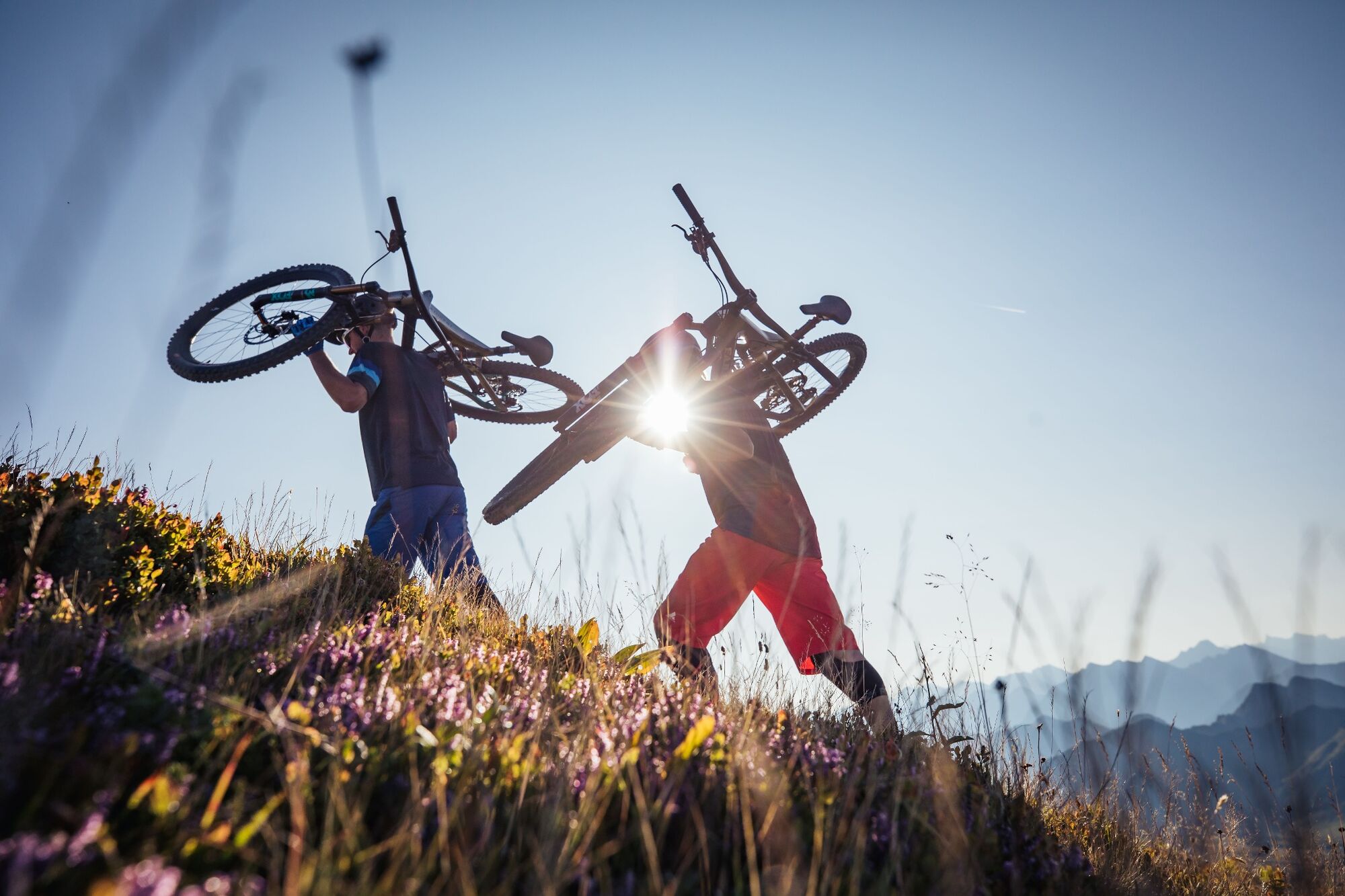
© Bregenzerwald Tourismus - Alex Kaiser

- Kort beskrivelse
-
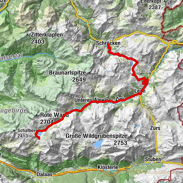
From the centre of Schröcken, take the wide gravel road up to Auenfeld. Via the Auenfeldsattel it goes now towards Oberlech and into the center of Lech. Opposite the Hotel Post, you have to turn right over a bridge, then immediately turn left towards Zug. A paved road leads you now approx. 1 hour to the junction Spullersee/Formarinsee. Here you turn right to get to the Formarinsee. Through a beautiful landscape along the Lech, the road remains paved and becomes steeper on the last 600 meters. Now a gravelled road leads through a cattle gate downhill, then uphill in a moderate slope to the Freiburger Hütte. It's the same way back.
The tour can also be started by Warth. Here it goes over the old salt road to the Hochtannbergpass and via the Salobersattel you get to the Auenfeld and further, as described above.
- Sværhedsgrad
-
medium
- Evaluering
-
- Rute
-
Schröcken (1.269 m)0,0 kmTannberg0,0 kmMaterialseilbahn Körbersee0,1 kmUntere Auenfeldalpe5,2 kmAbzweigung Burgplateau10,3 kmGotikkirche Hl. Nikolaus12,8 kmLech (1.444 m)13,1 kmZug15,7 kmSebastianskirche16,0 kmKlösterle16,6 kmGasthof Auerhahn16,6 kmMaterialseilbahn Göppinger Hütte19,3 kmGasthaus Älpele19,4 kmFormarinalpe26,0 kmFormarinalpe31,4 kmGasthaus Älpele37,9 kmMaterialseilbahn Göppinger Hütte37,9 kmKlösterle40,5 kmGasthof Auerhahn40,7 kmZug41,4 kmSebastianskirche41,4 kmLech (1.444 m)44,3 kmGotikkirche Hl. Nikolaus44,4 kmAbzweigung Burgplateau47,1 kmUntere Auenfeldalpe52,1 kmMaterialseilbahn Körbersee57,2 kmTannberg57,4 kmSchröcken (1.269 m)57,4 km
- Bedste sæson
-
janfebmaraprmajjunjulaugsepoktnovdec
- Højeste punkt
- 1.909 m
- Destination
-
Village square Warth/Village square Schröcken
- Højdeprofil
-


- Forfatter
-
Rundvisningen Formarinsee mountainbike round bruges af outdooractive.com forudsat.
GPS Downloads


Generel information
Forfriskningsstop
Insider-tip
Fauna
Lovende
Flere ture i regionerne