© Rovereto Vallagarina e Monte Baldo - Apt Rovereto Vallagarina e Monte Baldo

© Rovereto Vallagarina e Monte Baldo - Apt Rovereto Vallagarina e Monte Baldo

© Rovereto Vallagarina e Monte Baldo - Apt Rovereto Vallagarina e Monte Baldo

© Rovereto Vallagarina e Monte Baldo - Apt Rovereto Vallagarina e Monte Baldo

© Rovereto Vallagarina e Monte Baldo - Apt Rovereto Vallagarina e Monte Baldo

© Rovereto Vallagarina e Monte Baldo - Apt Rovereto Vallagarina e Monte Baldo

© Rovereto Vallagarina e Monte Baldo - Apt Rovereto Vallagarina e Monte Baldo

© Rovereto Vallagarina e Monte Baldo - Apt Rovereto Vallagarina e Monte Baldo

- Kort beskrivelse
-
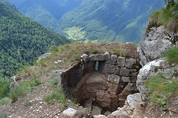
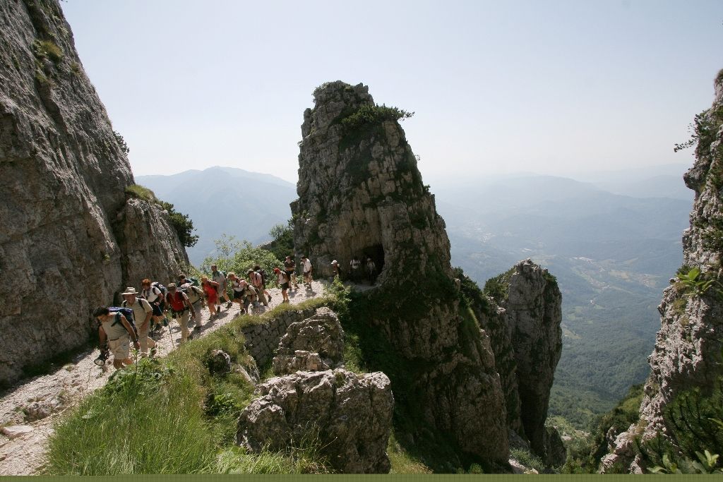
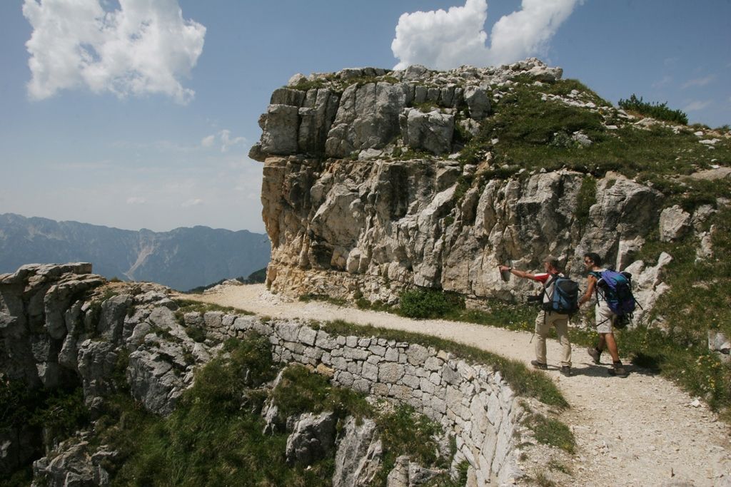
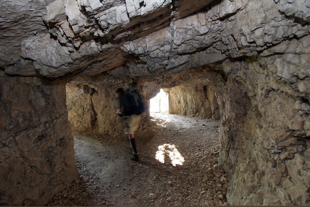
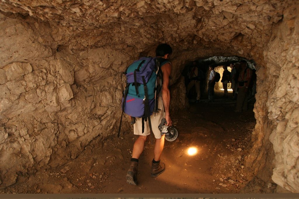
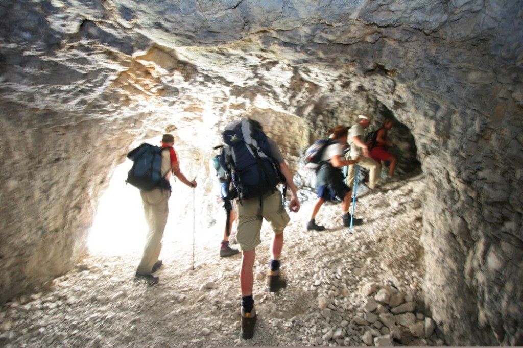
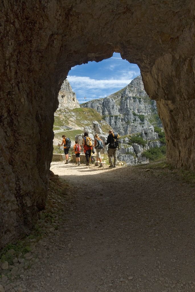
A work of extraordinary military technology
- Sværhedsgrad
-
tung
- Evaluering
-
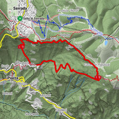
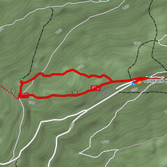
- Rute
-
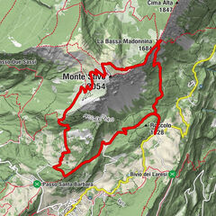
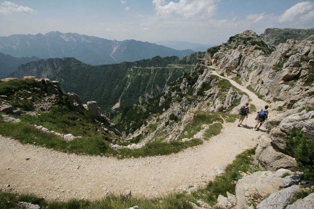
Cima Forni Alti (2.023 m)4,8 kmRifugio Achille Papa6,9 km
- Bedste sæson
-
janfebmaraprmajjunjulaugsepoktnovdec
- Højeste punkt
- 1.986 m
- Destination
-
Rifugio Achille Papa
- Højdeprofil
-
 © outdooractive.com
-

-
ForfatterRundvisningen The "Strada delle 52 Gallerie" trail bruges af outdooractive.com forudsat.