© Parco Regionale dei Colli Euganei
© Parco Regionale dei Colli Euganei
- Kort beskrivelse
-
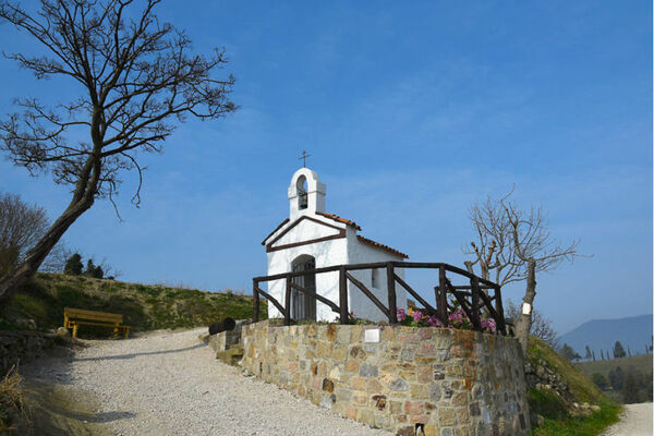
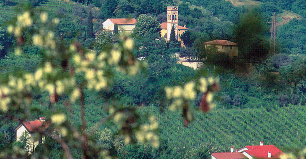
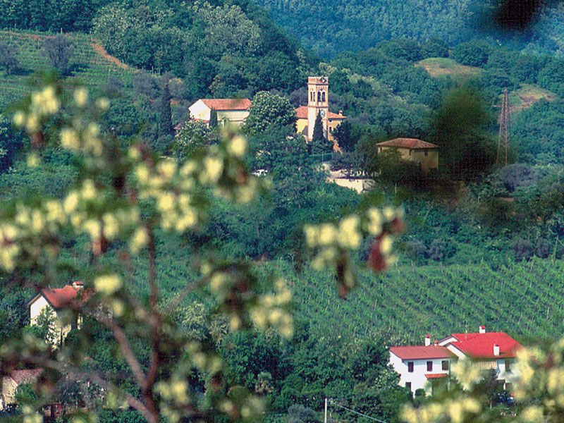
The point of departure can be reached from the hamlet of Monterosso, following the road that runs along the wall of Villa Brembiana, lined with planes and hornbeams.
- Sværhedsgrad
-
medium
- Evaluering
-
- Rute
-
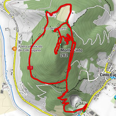
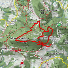
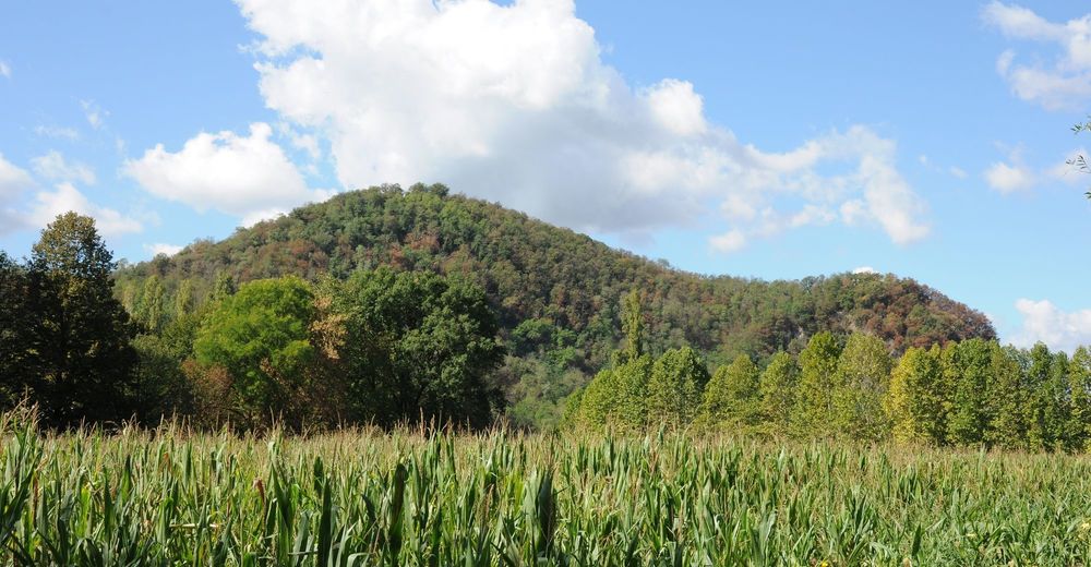
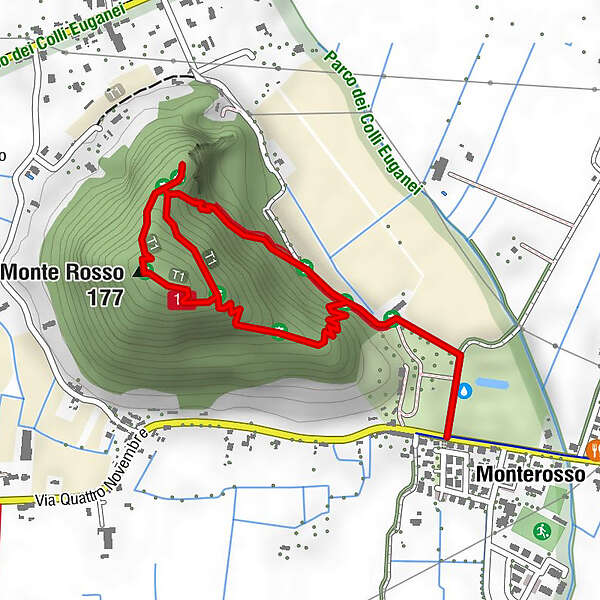
MonterossoMonte Rosso (177 m)1,2 km
- Bedste sæson
-
janfebmaraprmajjunjulaugsepoktnovdec
- Højeste punkt
- 161 m
- Destination
-
Monterosso (Abano Terme)
- Højdeprofil
-
 © outdooractive.com
- Forfatter
-
Rundvisningen Mt. Rosso Trail no. 16 bruges af outdooractive.com forudsat.
GPS Downloads


Generel information
Kulturel/Historisk
Insider-tip
Flora
Lovende
Flere ture i regionerne
-
Padua
110