© APT - San Martino di Castrozza, Passo Rolle, Primiero e Vanoi - ApT San Martino

© APT - San Martino di Castrozza, Passo Rolle, Primiero e Vanoi - ApT San Martino

© APT - San Martino di Castrozza, Passo Rolle, Primiero e Vanoi - ApT San Martino

© APT - San Martino di Castrozza, Passo Rolle, Primiero e Vanoi - ApT San Martino

© APT - San Martino di Castrozza, Passo Rolle, Primiero e Vanoi - ApT San Martino

© APT - San Martino di Castrozza, Passo Rolle, Primiero e Vanoi - ApT San Martino

© APT - San Martino di Castrozza, Passo Rolle, Primiero e Vanoi - ApT San Martino

© APT - San Martino di Castrozza, Passo Rolle, Primiero e Vanoi - ApT San Martino

© APT - San Martino di Castrozza, Passo Rolle, Primiero e Vanoi - ApT San Martino

© APT - San Martino di Castrozza, Passo Rolle, Primiero e Vanoi - ApT San Martino
Turnédatoer
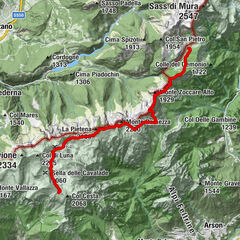
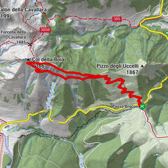
12,79km
352
- 1.970m
1.658hm
89hm
06:30h

- Kort beskrivelse
-
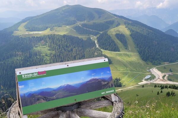
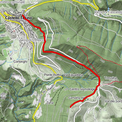
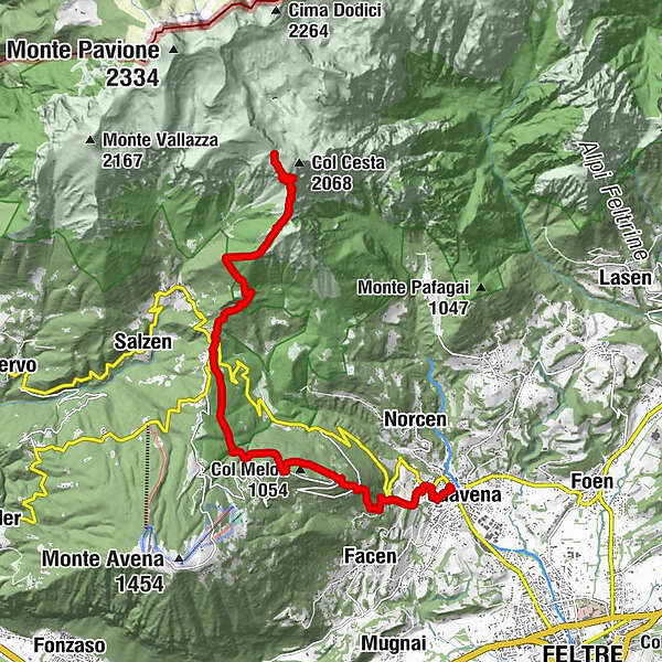
Two mountain ranges, two regions, two parks: different environments for structure and nature, both World Heritage Sites, united by the continuous line of the Alta Via n. 2
- Sværhedsgrad
-
tung
- Evaluering
-
- Rute
-
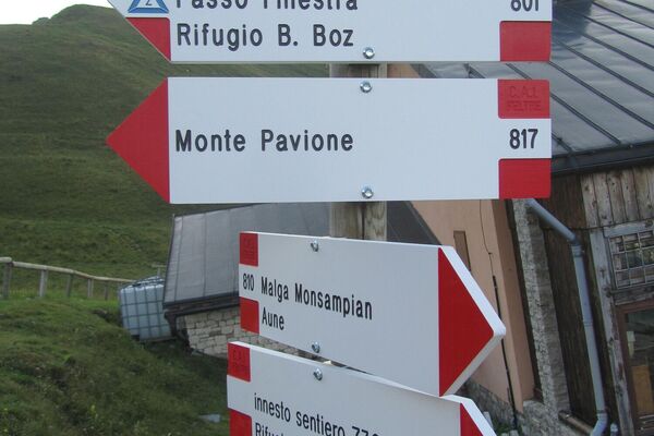
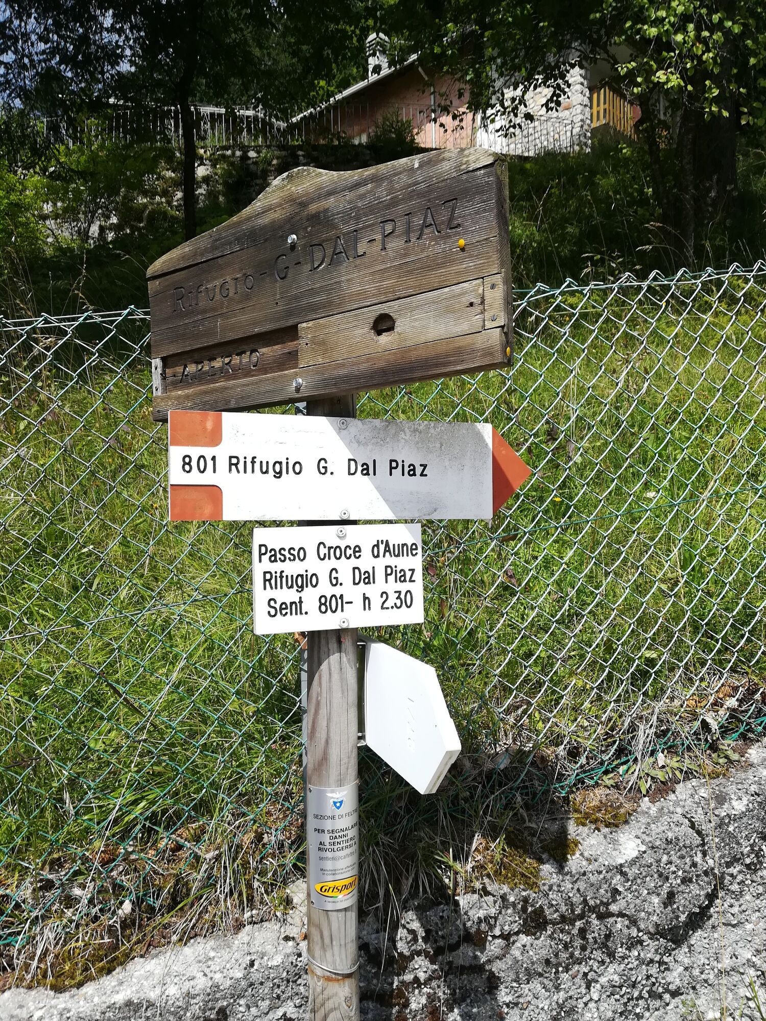
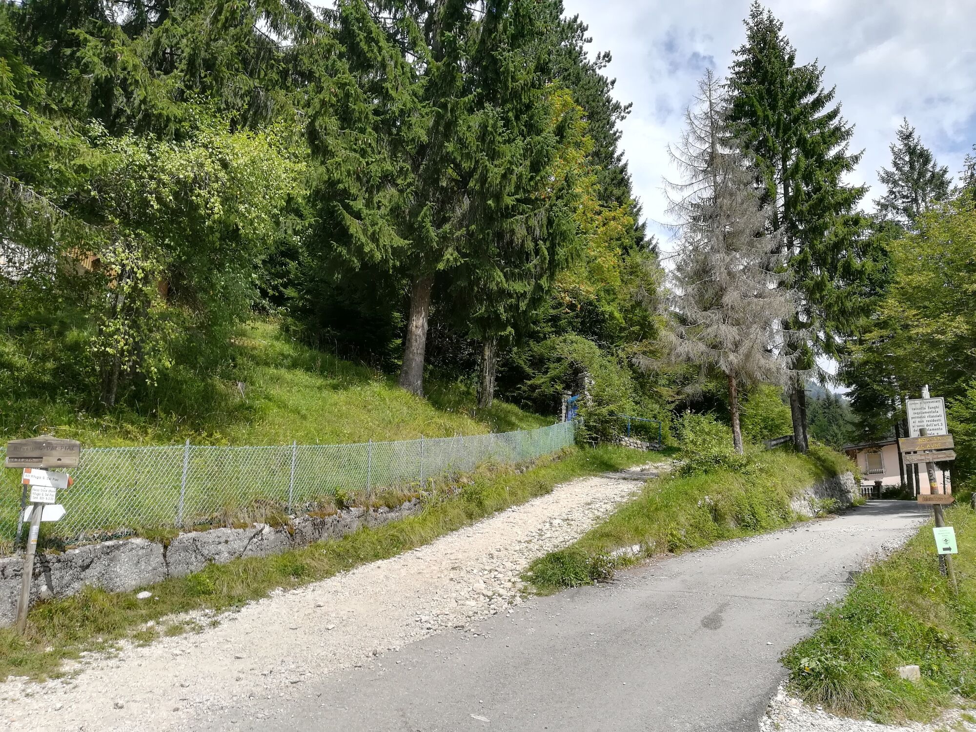
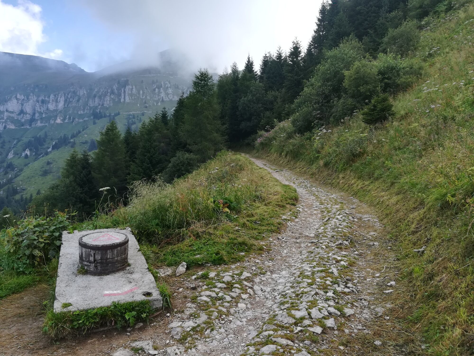
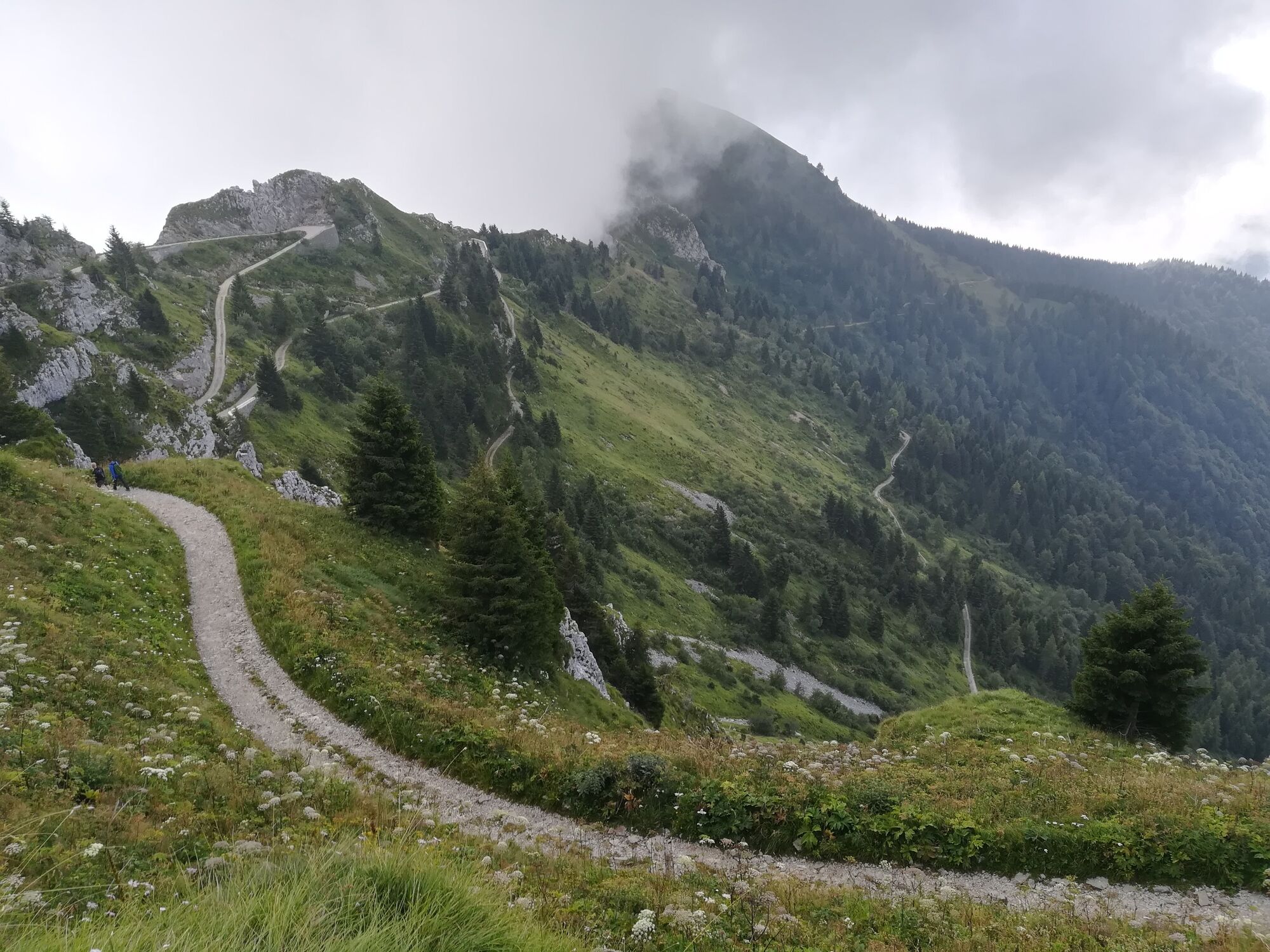
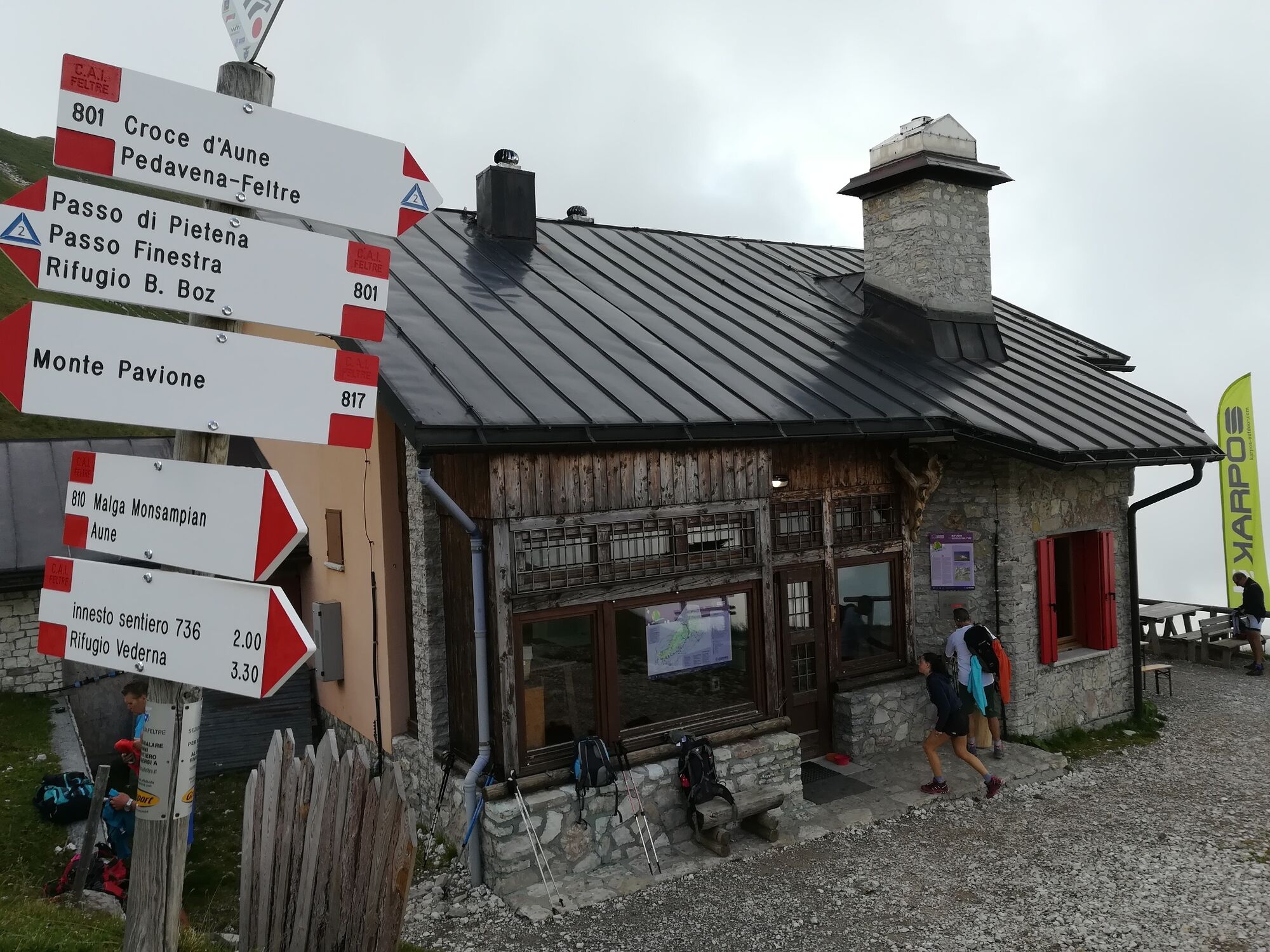
Pedavena0,1 kmFestisei1,4 kmBelvedere1,7 kmCol Melon (1.054 m)3,6 kmCroce d'Aune7,4 kmCimamonte8,0 kmRifugio Giorgio Dal Piaz12,7 km
- Bedste sæson
-
janfebmaraprmajjunjulaugsepoktnovdec
- Højeste punkt
- 1.970 m
- Destination
-
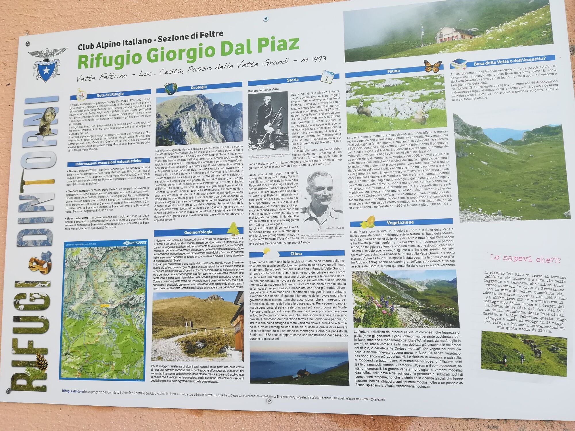
Rifugio Dal Piaz
- Højdeprofil
-
 © outdooractive.com


-

-
ForfatterRundvisningen Park2Trek Dolomites - 1st stage bruges af outdooractive.com forudsat.
GPS Downloads


Generel information
Flora
Fauna
Lovende
Flere ture i regionerne
-
Area Feltrino
258
-
Feltre
91