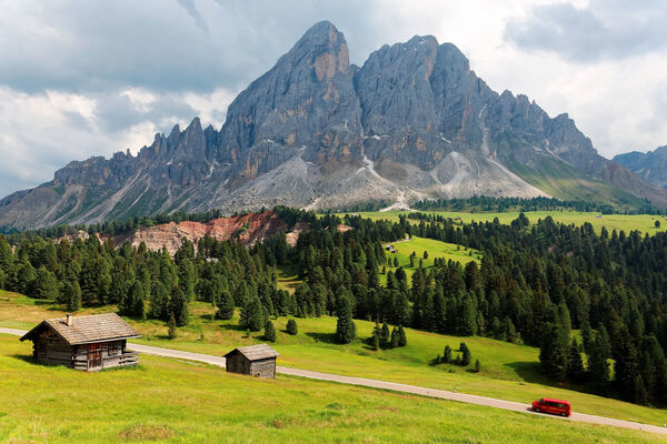
© Arabba Fodom Turismo - Freddy Planinschek

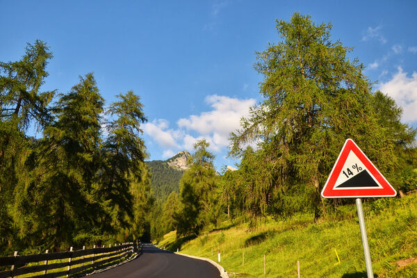
© Arabba Fodom Turismo - Freddy Planinschek

© Arabba Fodom Turismo - Freddy Planinschek

- Kort beskrivelse
-
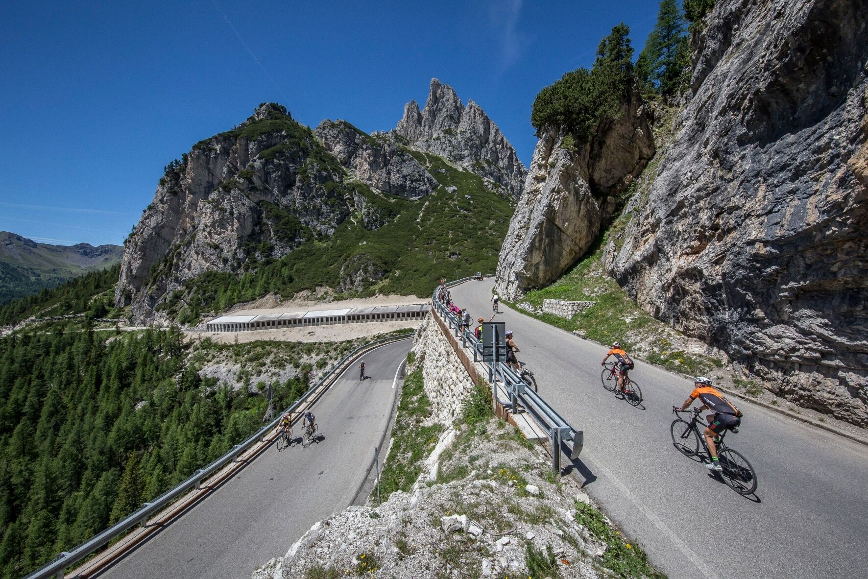
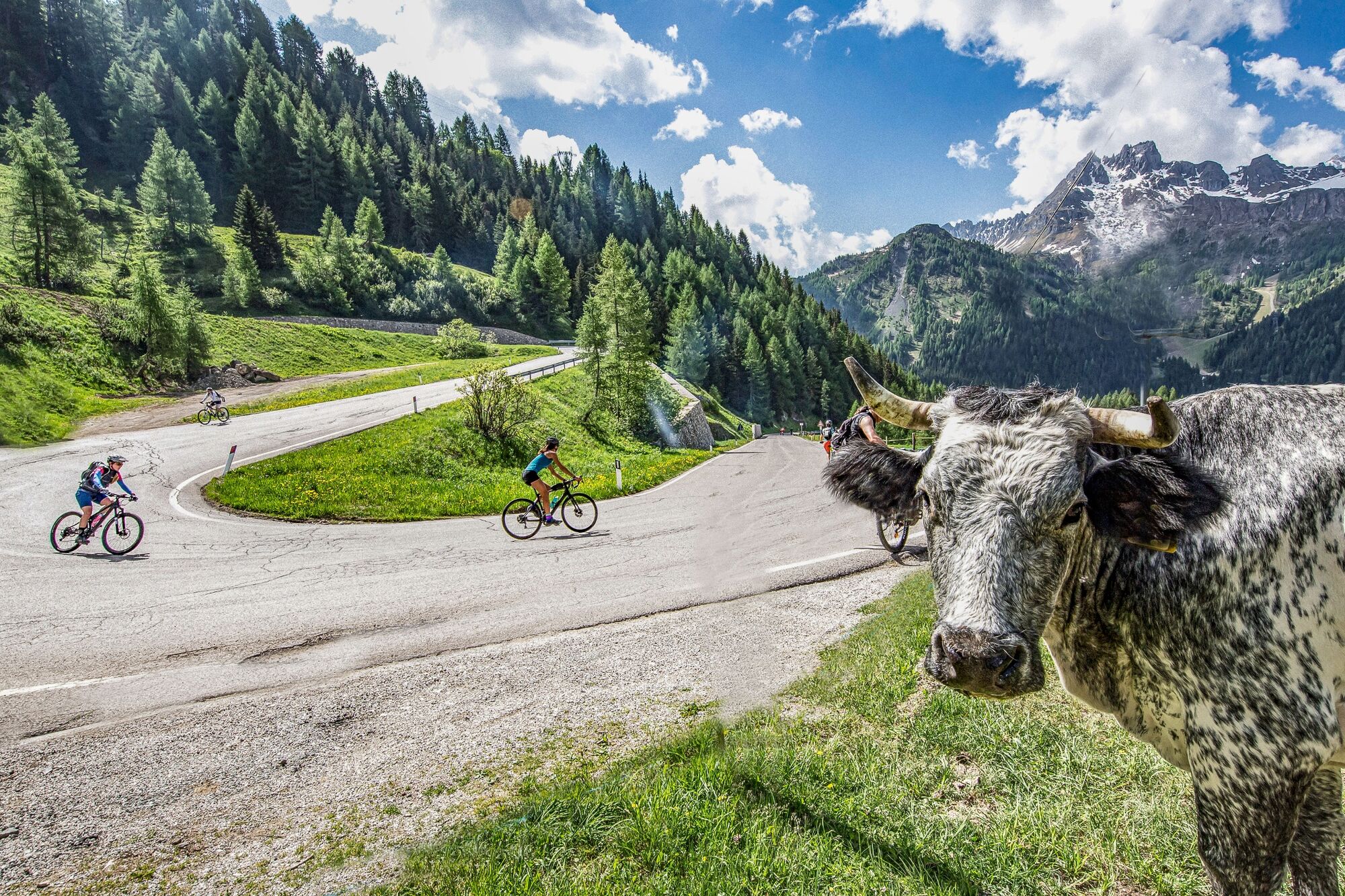
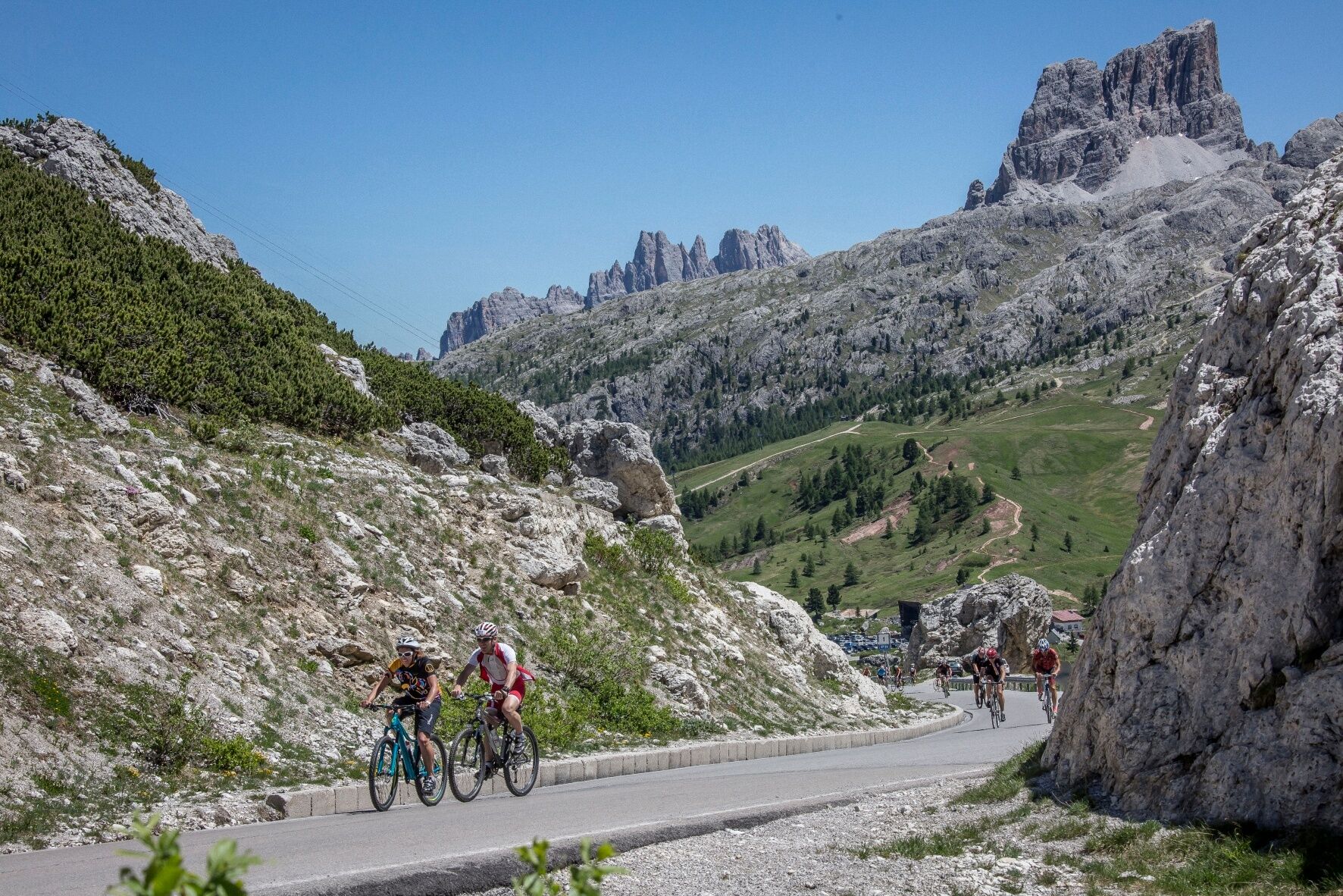
Simple but satisfying tour along the "Fodom" Valley and the "Badia" Valley.
- Sværhedsgrad
-
let
- Evaluering
-
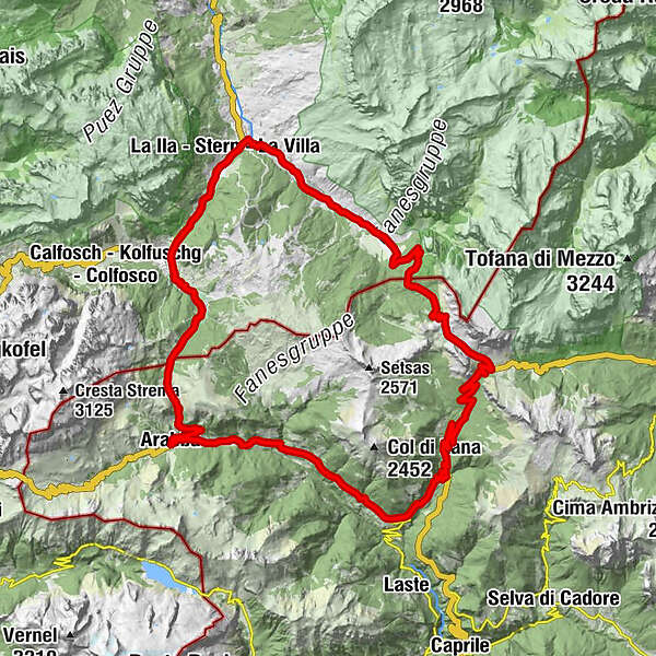
- Rute
-
ArabbaAlfauro1,7 kmLa stua dei bacagn2,2 kmRenaz2,4 kmCostazza2,8 kmFossal3,2 kmSan Giovanni3,3 kmPezzei3,5 kmRuaz4,0 kmFedèra4,7 kmLiviné5,9 kmBrenta6,4 kmPieve7,2 kmPizzeria Klematys7,3 kmLivinallongo del Col di Lana7,3 kmSalesei di Sotto (1.350 m)8,3 kmAndraz10,4 kmCernadoi11,7 kmLa Baita13,0 kmLa Merla16,4 kmPonte dei Piagn16,8 kmPian 1.935 m18,1 kmFunivia Lagazuoi20,8 kmRifugio "Passo Valparola"23,0 kmSciaré (1.647 m)29,4 kmCentro Fondo29,6 kmArmentarola (1.611 m)30,7 kmPlan (1.560 m)32,2 kmLa Sieia32,5 kmSalotta32,6 kmSt. Kassian (1.537 m)32,9 kmCostadedoi (1.506 m)33,9 kmSotcianins (1.416 m)35,6 kmAltin35,7 kmVilla Nöia36,2 kmStern (1.477 m)36,9 kmRuac (1.438 m)37,4 kmFuntanacia (1.491 m)37,8 kmVerda (1.469 m)38,6 kmCorvara (1.568 m)41,1 kmzur Hl. Katharina von Alexandrien41,5 kmCrep de Mont43,8 kmLa Tambra46,2 kmHotel Boe46,3 kmVarda49,7 kmArabba50,8 km
- Bedste sæson
-
janfebmaraprmajjunjulaugsepoktnovdec
- Højeste punkt
- 2.193 m
- Destination
-
Center of "Arabba"
- Højdeprofil
-
 © outdooractive.com
-

-
ForfatterRundvisningen "Dolomites Bike Day" bruges af outdooractive.com forudsat.
GPS Downloads


Generel information
Forfriskningsstop
Insider-tip
Flora
Lovende
Flere ture i regionerne