© The Land of Venice - Parco del Delta del Po

© The Land of Venice - Parco Regionale Veneto del Delta del Po

© The Land of Venice - Parco del Delta del Po

© The Land of Venice - Parco del Delta del Po
- Kort beskrivelse
-
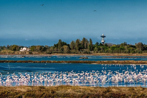
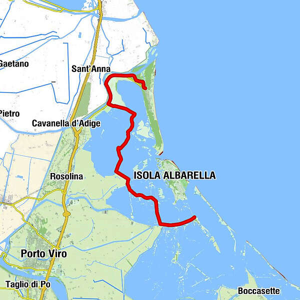
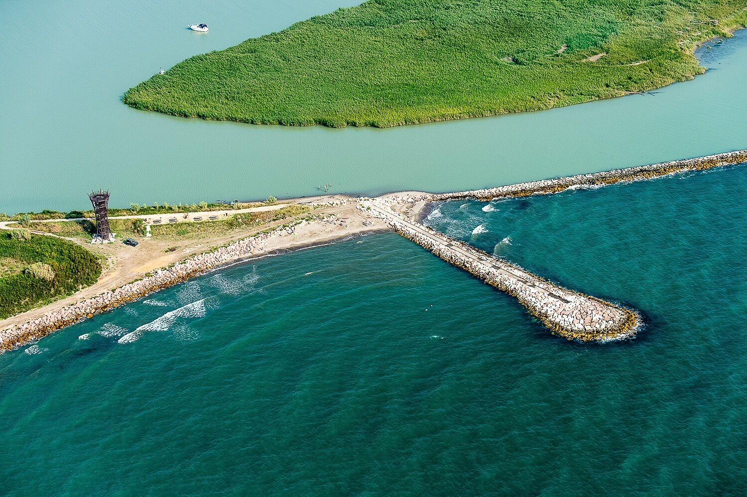
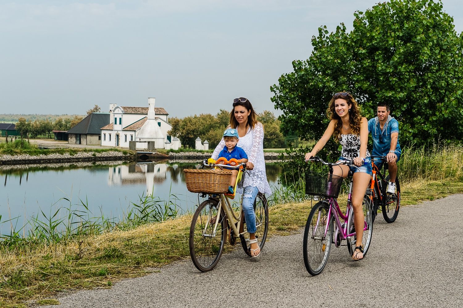
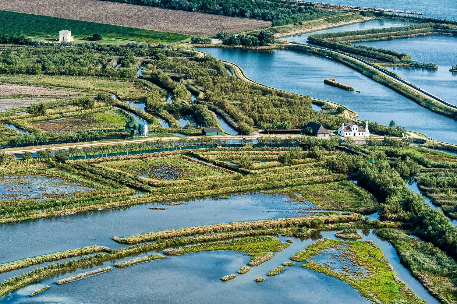
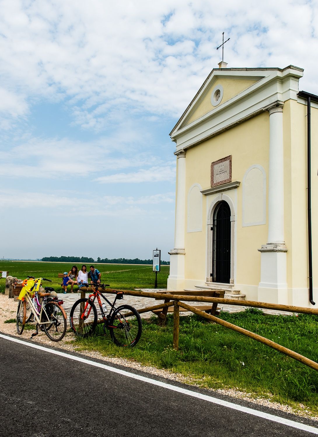
A very suggestive tour along naturalistic places, uncommon fauna typical of brackish areas such as the stretch along the fishing valleys and the lagoon, visiting the holm oak area, the pinewood and eventually with deviation from the tour to the mouth of the river Adige
- Sværhedsgrad
-
let
- Evaluering
-
- Rute
-
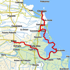
Rosolina MarePorto Levante20,2 km
- Bedste sæson
-
janfebmaraprmajjunjulaugsepoktnovdec
- Højeste punkt
- 8 m
- Destination
-
Albarella
- Højdeprofil
-
 © outdooractive.com
- Forfatter
-
Rundvisningen The Path of the Northern Valleys bruges af outdooractive.com forudsat.
GPS Downloads


Generel information
Insider-tip
Flora
Fauna
Lovende
Flere ture i regionerne
-
Venezia
10