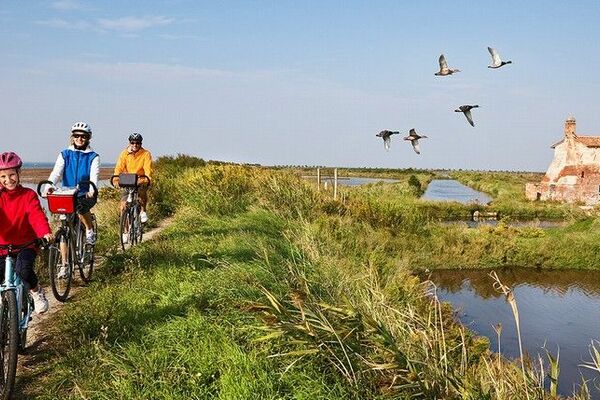
© The Land of Venice - Matteo Danesin

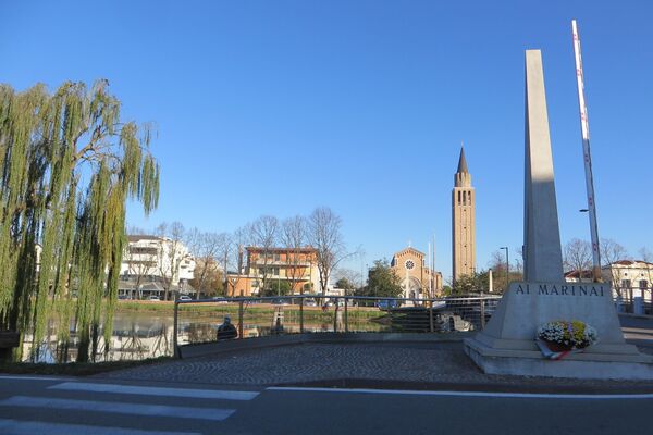
© The Land of Venice - Matteo Danesin
© The Land of Venice - Archivio Regione Veneto
© The Land of Venice - Archivio Regione Veneto
- Kort beskrivelse
-
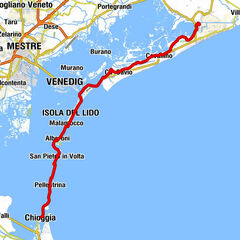
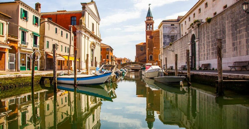
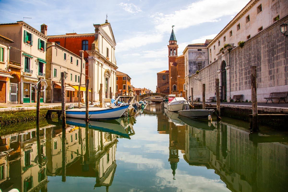
Lido di Venezia, Malamocco, Pellestrina
- Sværhedsgrad
-
medium
- Evaluering
-
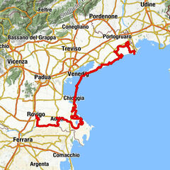
- Rute
-
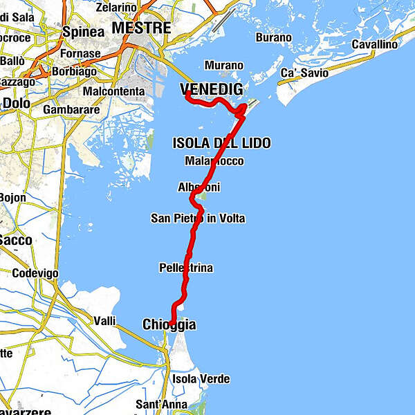
Tronchetto ferry0,0 kmVenice (1 m)3,9 kmLido San Nicolò ferry6,9 kmLido Santa Maria Elisabetta B8,7 kmLido Santa Maria Elisabetta C8,7 kmLido Santa Maria Elisabetta A8,7 kmChiesa Santa Maria Elisabetta8,8 kmLido9,0 kmMalamocco14,1 kmAlberoni18,1 kmAl Bucaniere18,8 kmS.Maria del Mare21,3 kmSan Pietro in Volta23,4 kmDa Nane23,5 kmAl Gatto Rosso23,7 kmBar Pizzeria Dea28,3 kmSan Vito e Modesto28,7 kmPellestrina29,1 kmDa Celeste29,2 kmLaguna29,6 kmOgnissanti30,0 kmEl Chioschetto da Moro30,2 kmPellestrina - Cimitero30,3 kmChioggia34,9 kmChioggia35,5 km
- Bedste sæson
-
janfebmaraprmajjunjulaugsepoktnovdec
- Højeste punkt
- 6 m
- Destination
-
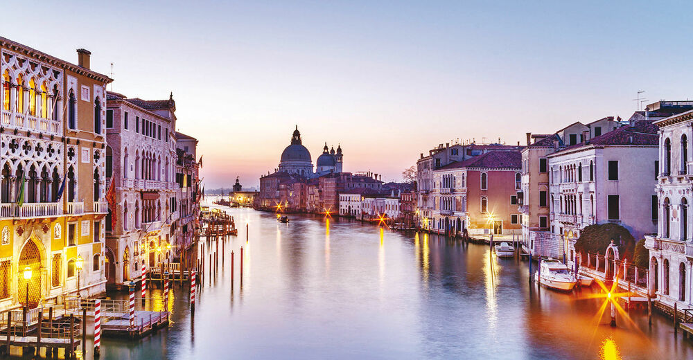
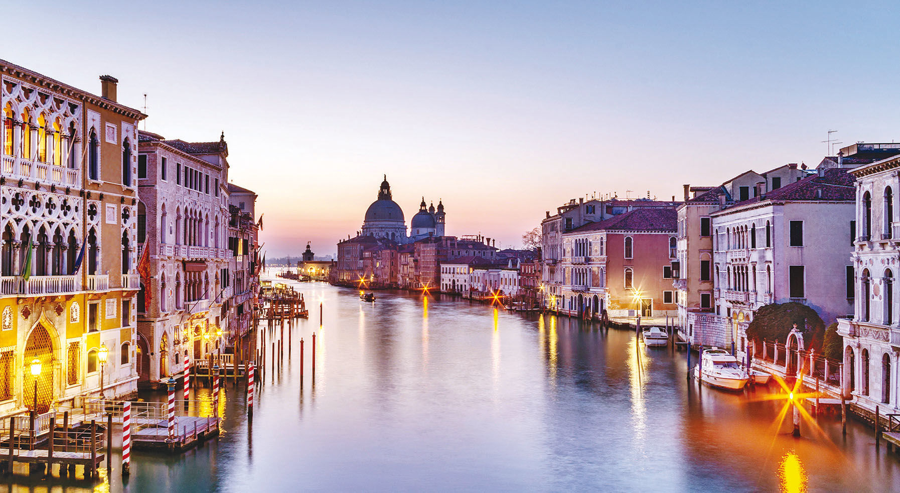
Tronchetto Venezia
- Højdeprofil
-
 © outdooractive.com

- Forfatter
-
Rundvisningen E5 - Islands of Venice cycle path bruges af outdooractive.com forudsat.
GPS Downloads


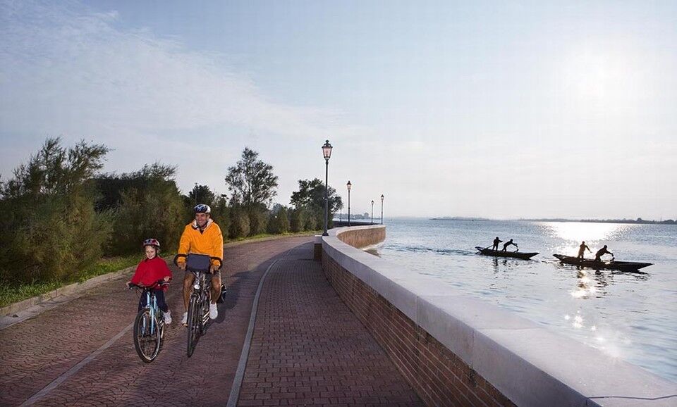
Generel information
Kulturel/Historisk
Flora
Fauna