© APT Trento - Federico Monegatti

© APT Trento - Federico Monegatti

© APT Trento - Federico Monegatti

© APT Trento - Federico Monegatti

© APT Trento - Federico Monegatti

© APT Trento - Federico Monegatti

© APT Trento - Federico Monegatti

© APT Trento - Federico Monegatti

© APT Trento - Federico Monegatti

© APT Trento - Federico Monegatti

- Kort beskrivelse
-
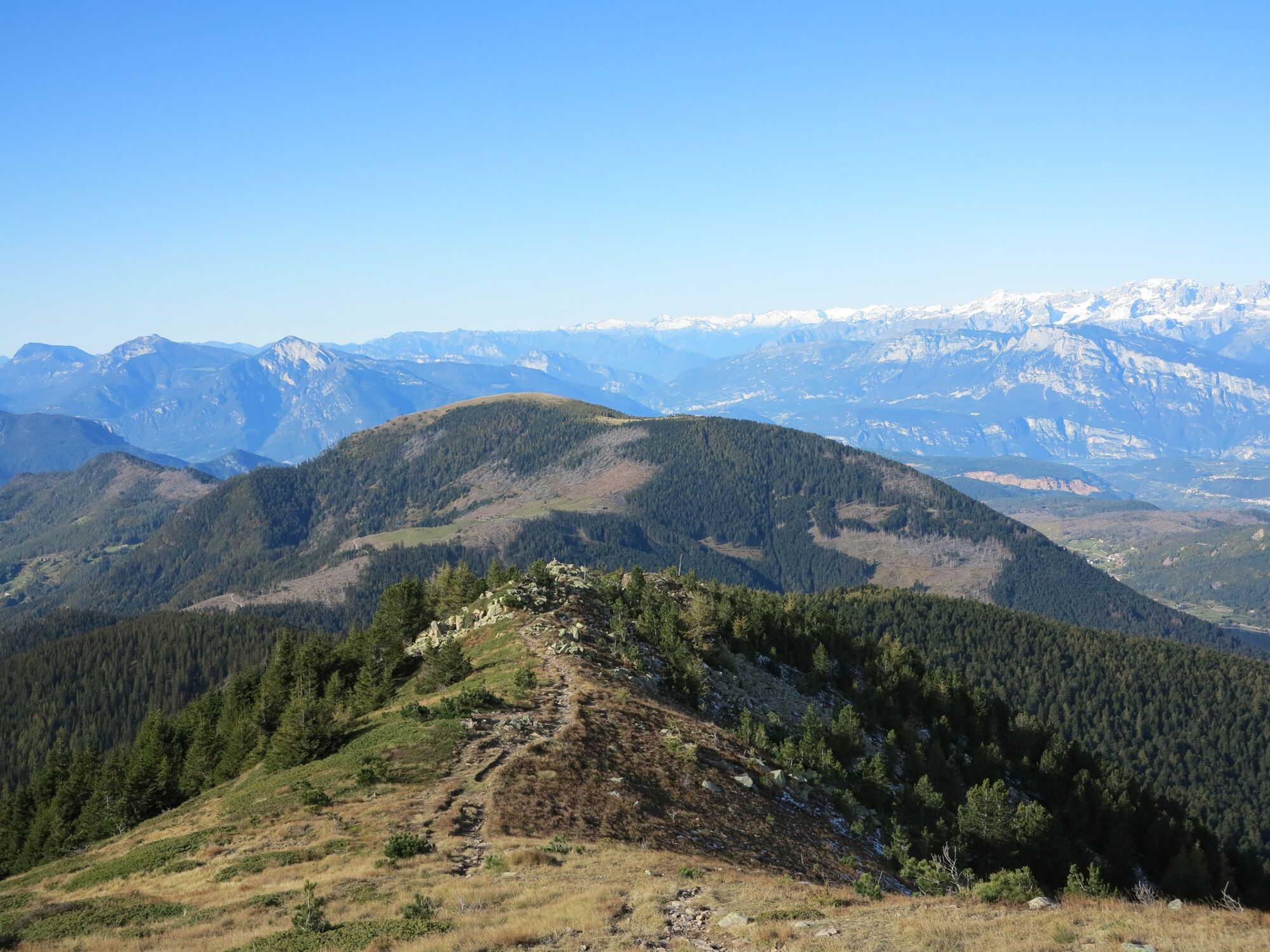
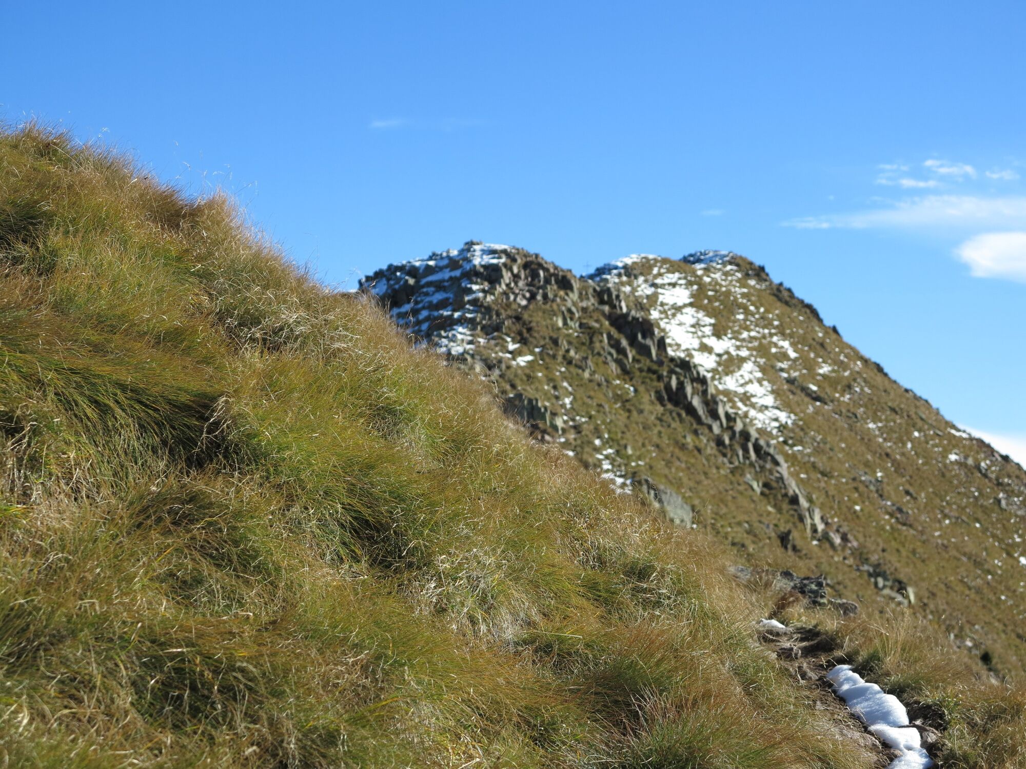
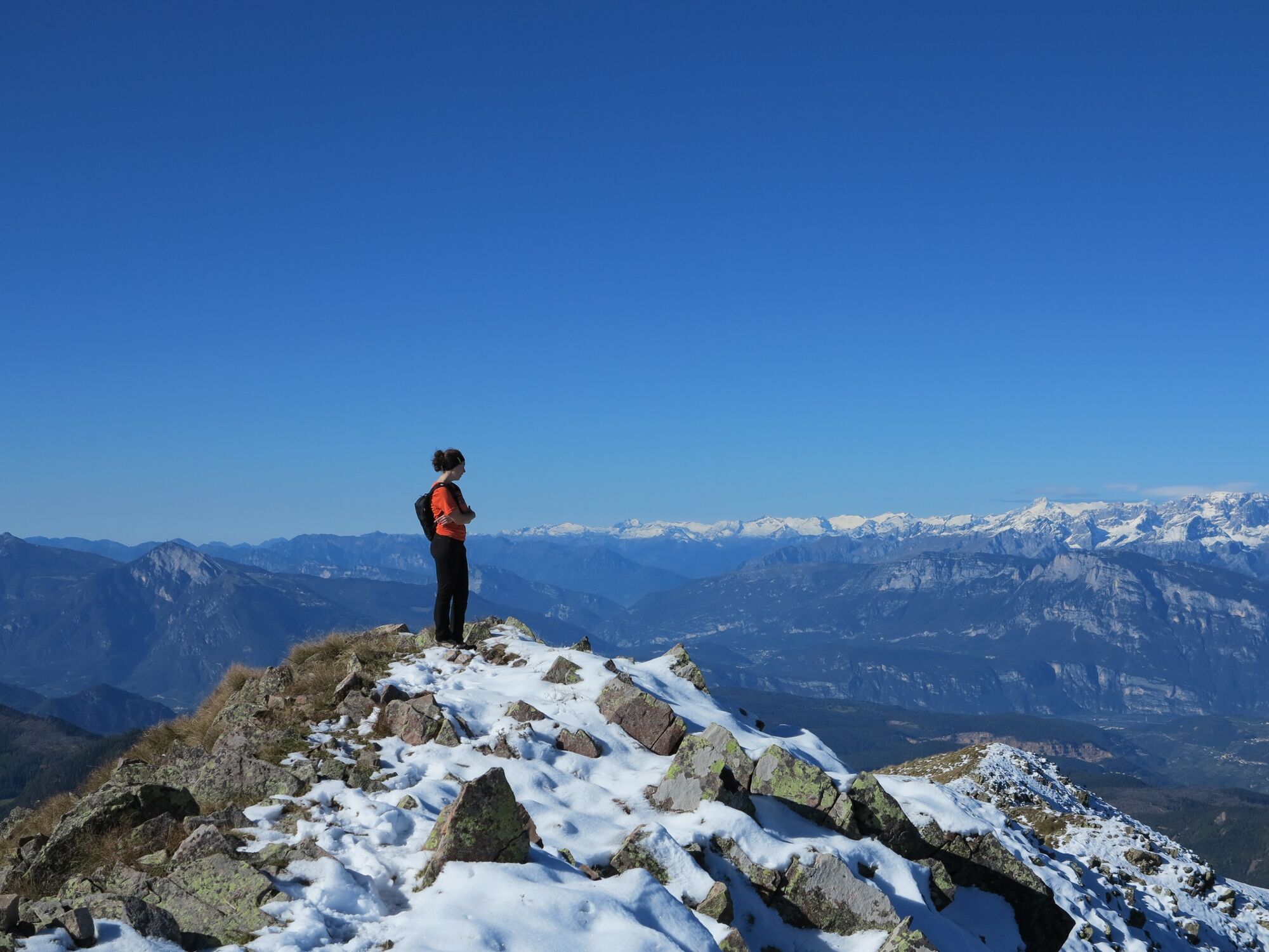
A must for lovers of 'wild trekking' with a 'ride' on the border ridge between the Altopiano di Pinè and the Val dei Mocheni.
- Sværhedsgrad
-
tung
- Evaluering
-
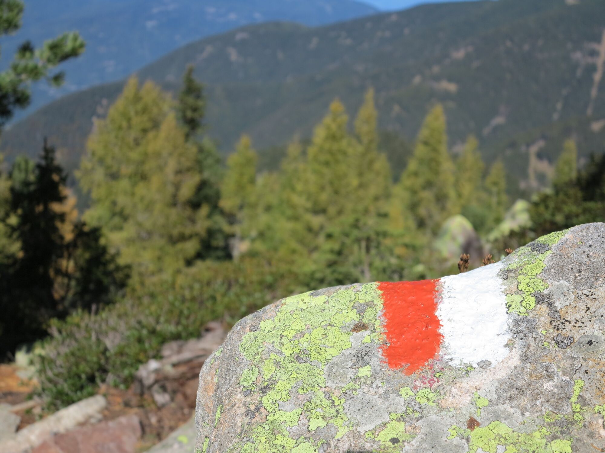
- Rute
-
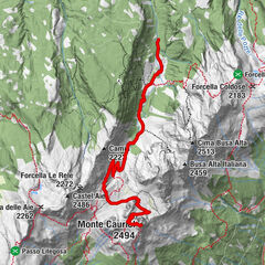
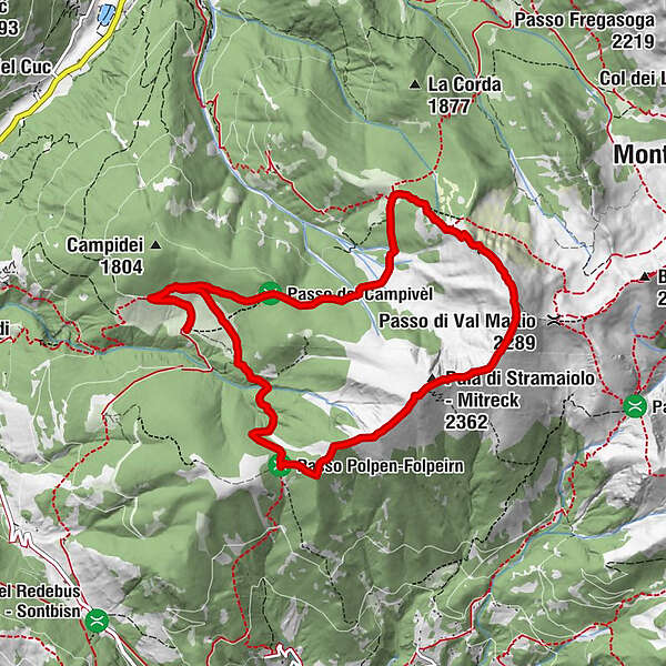
Agritur Malga Stramaiolo0,5 kmMalga Stramaiolo alta1,3 kmCimon di Pontara (2.163 m)3,7 kmPala dei Campedei (2.221 m)4,0 kmOltnmonn (2.334 m)4,5 kmMitreck (2.362 m)4,7 kmSchvorzlommer (2.391 m)5,0 kmMonte Ruioch (2.414 m)5,2 kmSchliverai Spitz (2.432 m)5,6 kmAgritur Malga Stramaiolo10,2 km
- Bedste sæson
-
janfebmaraprmajjunjulaugsepoktnovdec
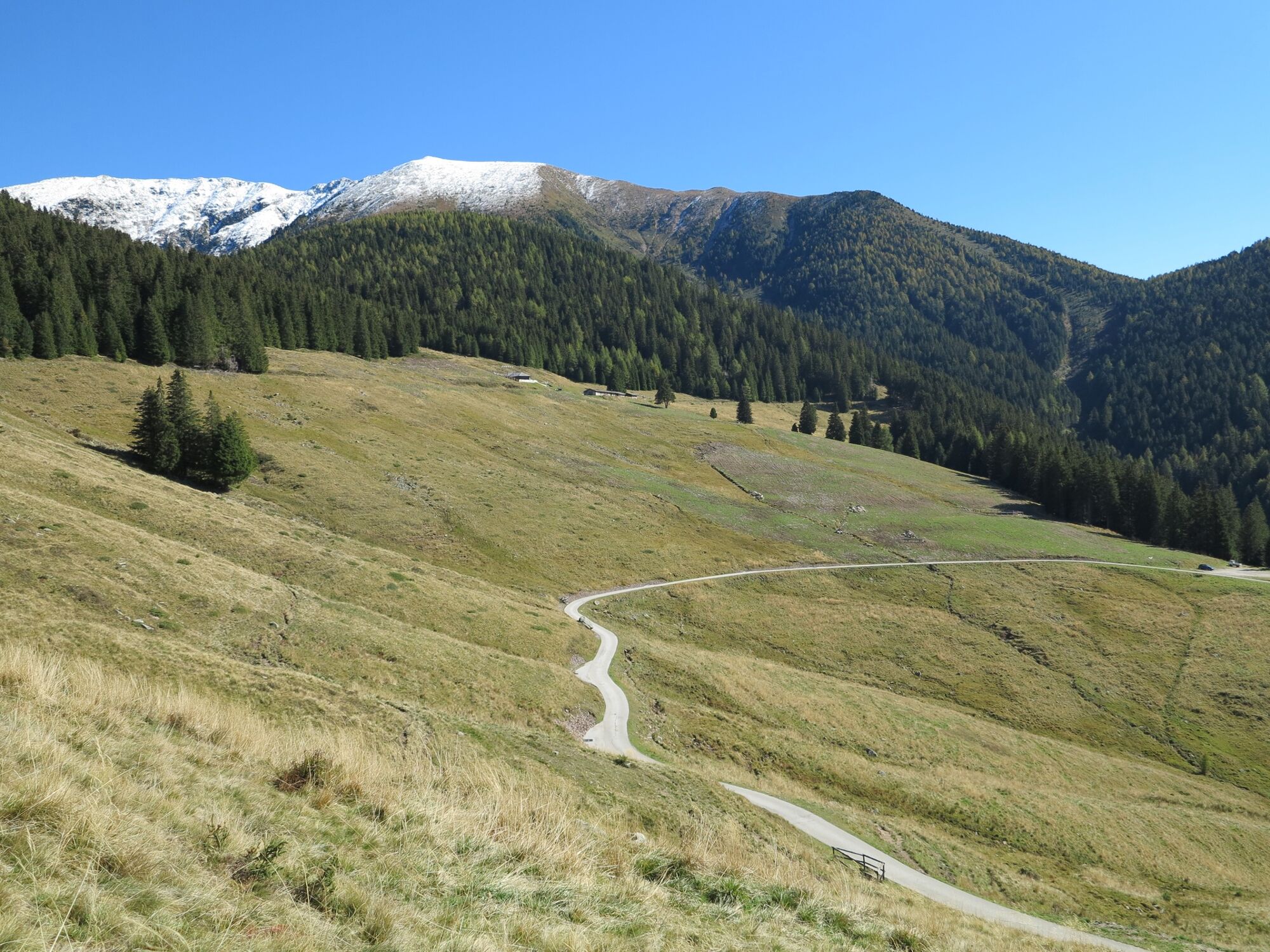
- Højeste punkt
- 2.403 m
- Destination
-
Stramaiolo hut - Bedollo
- Højdeprofil
-
 © outdooractive.com


- Forfatter
-
Rundvisningen Trekking to Monte Rujoch bruges af outdooractive.com forudsat.
GPS Downloads


Generel information
Forfriskningsstop
Insider-tip
Flora
Fauna
Lovende
Flere ture i regionerne