© APT - Alpe Cimbra - Apt Alpe Cimbra

© Unbekannt - Apt Alpe Cimbra

© APT - Alpe Cimbra - Apt Alpe Cimbra

© APT - Alpe Cimbra - Apt Alpe Cimbra

© APT - Alpe Cimbra - Zambotti

- Kort beskrivelse
-
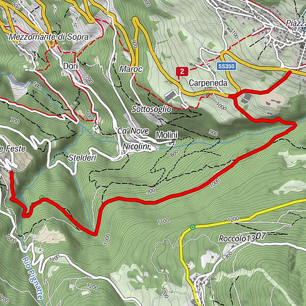
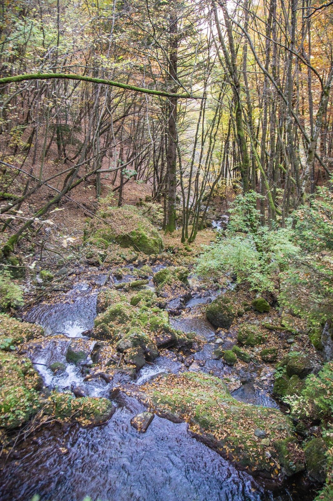
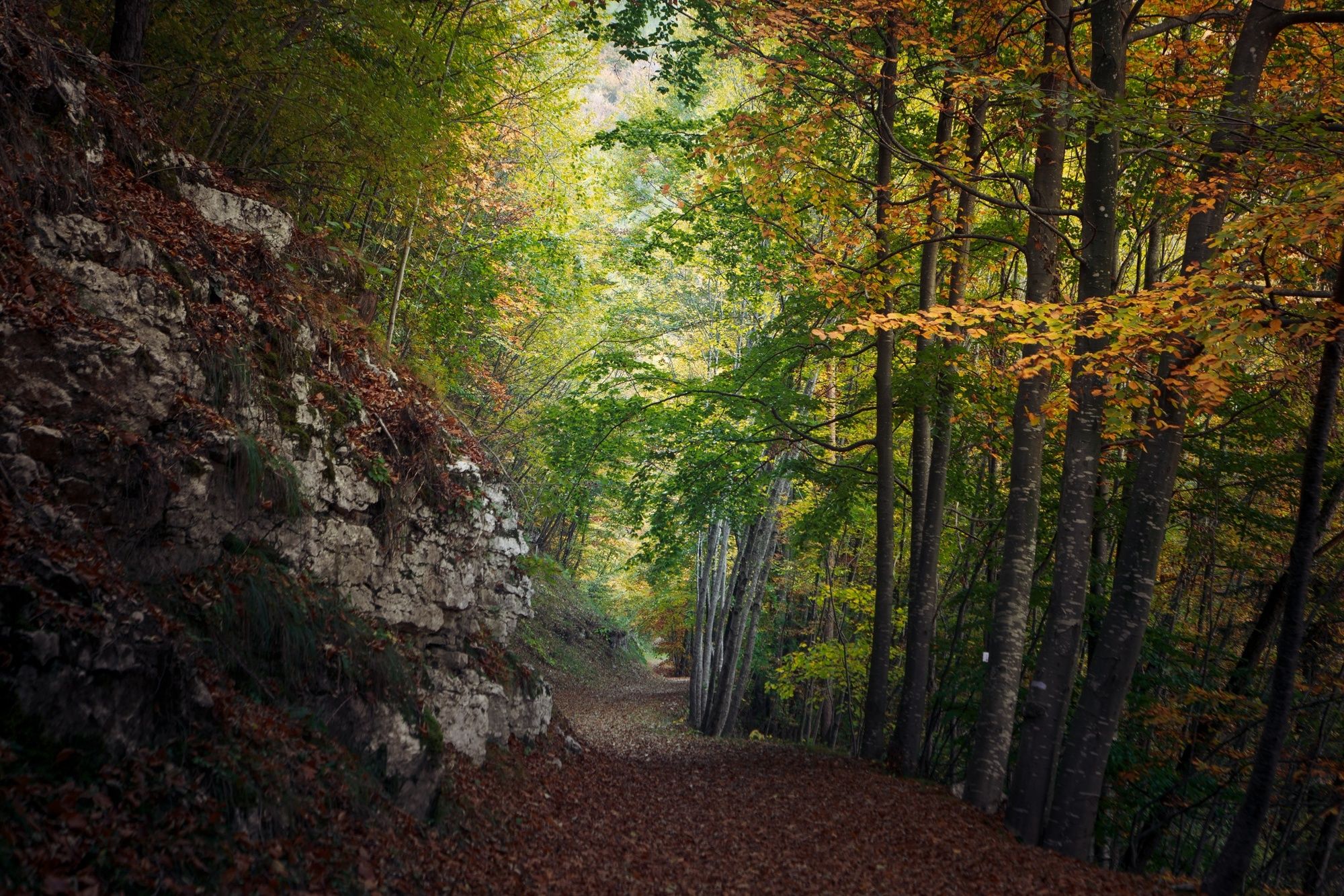
The “Gon” is a thick forest that rose up on a landslide of rocks between the small plateau of Guardia and the vast highland of the village of Folgaria. The German-Cimbrian toponym actually indicates the landslide, nowadays completely hidden underneath the woods. The route crosses the forest and it is the ancient connection between the small village below the summit of the Finonchio and Folgaria.
- Sværhedsgrad
-
medium
- Evaluering
-
- Rute
-
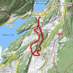
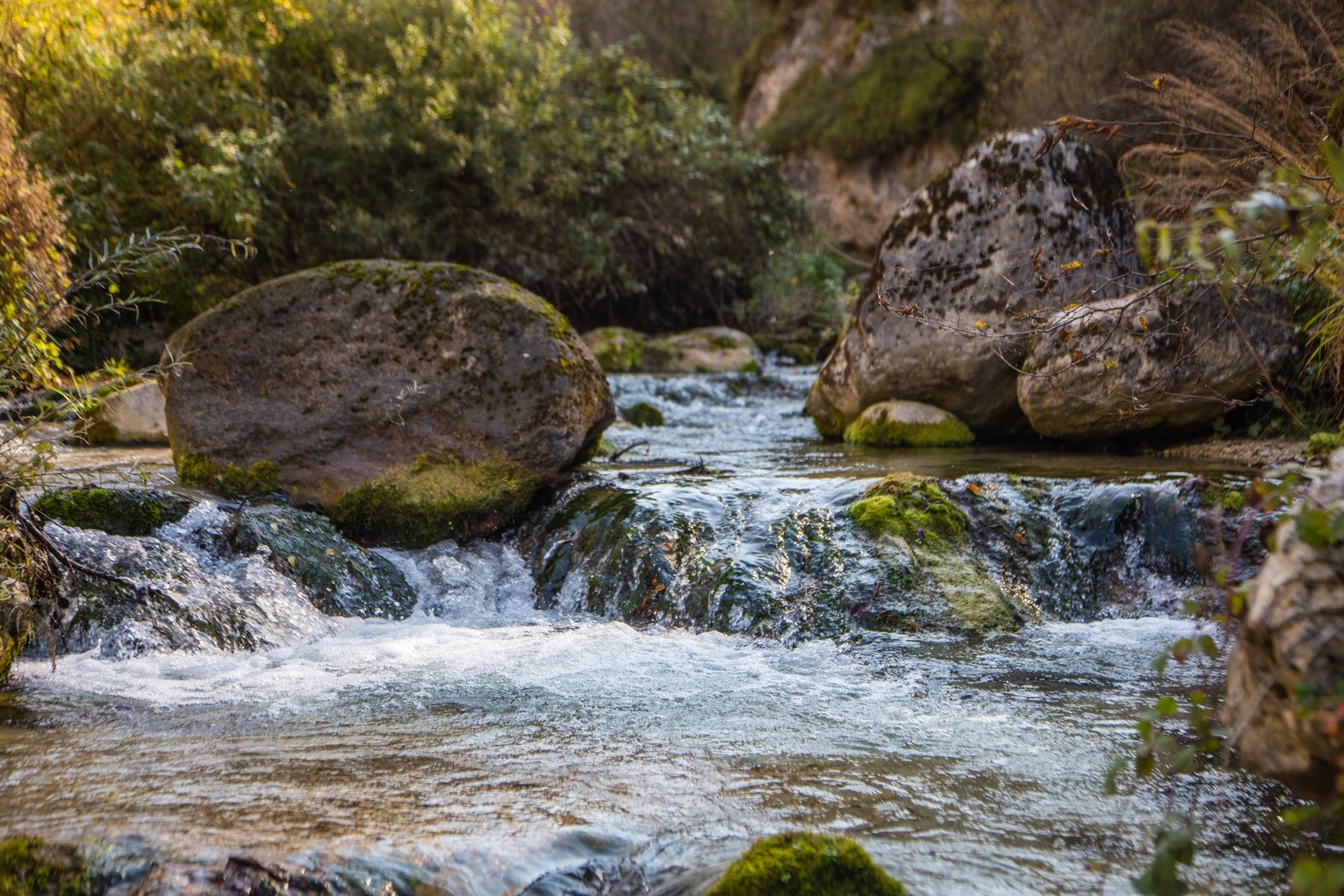
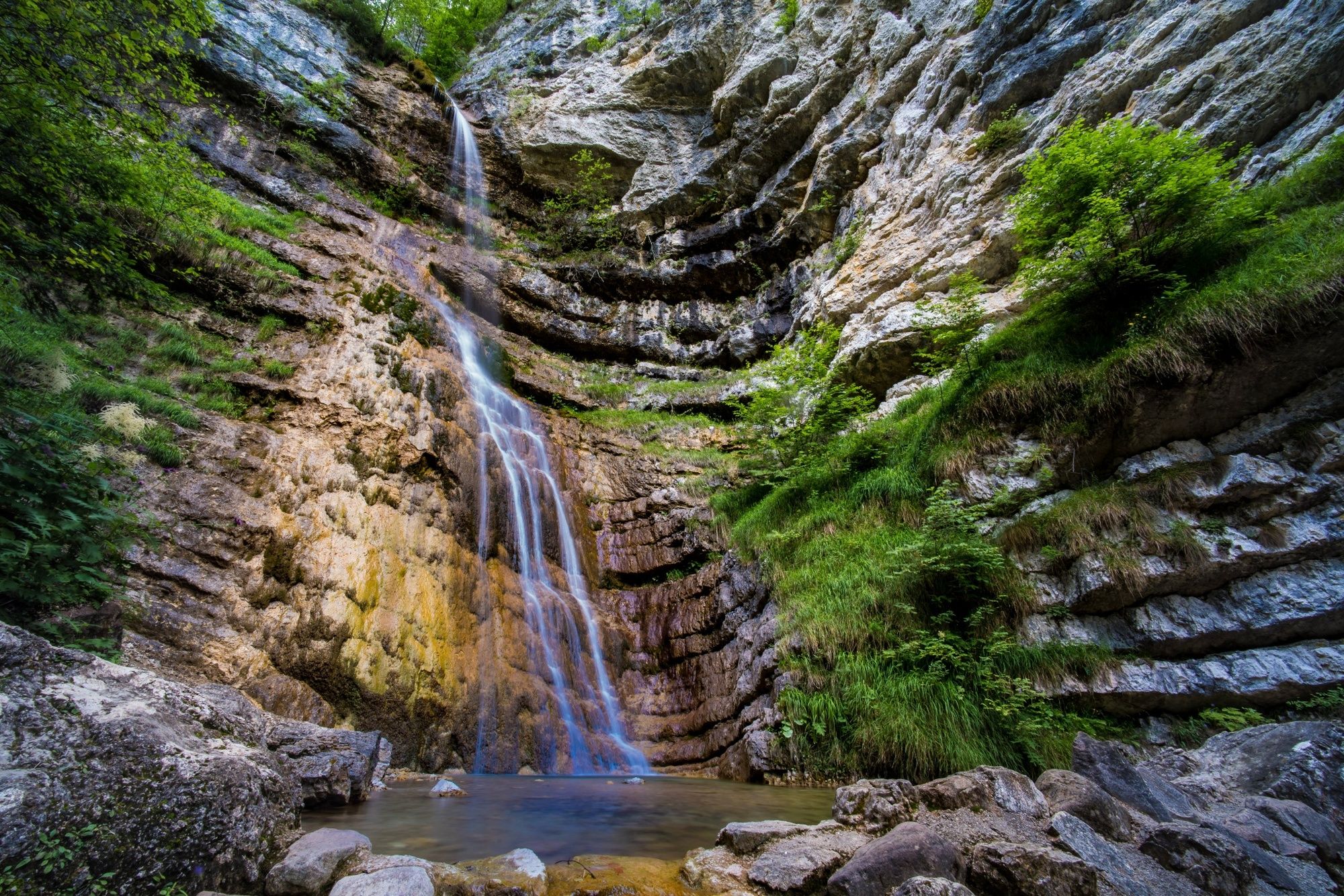
Guardia (875 m)Cascata dell'Hofentol0,4 kmDoss del Stock (895 m)0,7 kmCarpeneda4,1 km
- Bedste sæson
-
janfebmaraprmajjunjulaugsepoktnovdec
- Højeste punkt
- 1.110 m
- Destination
-
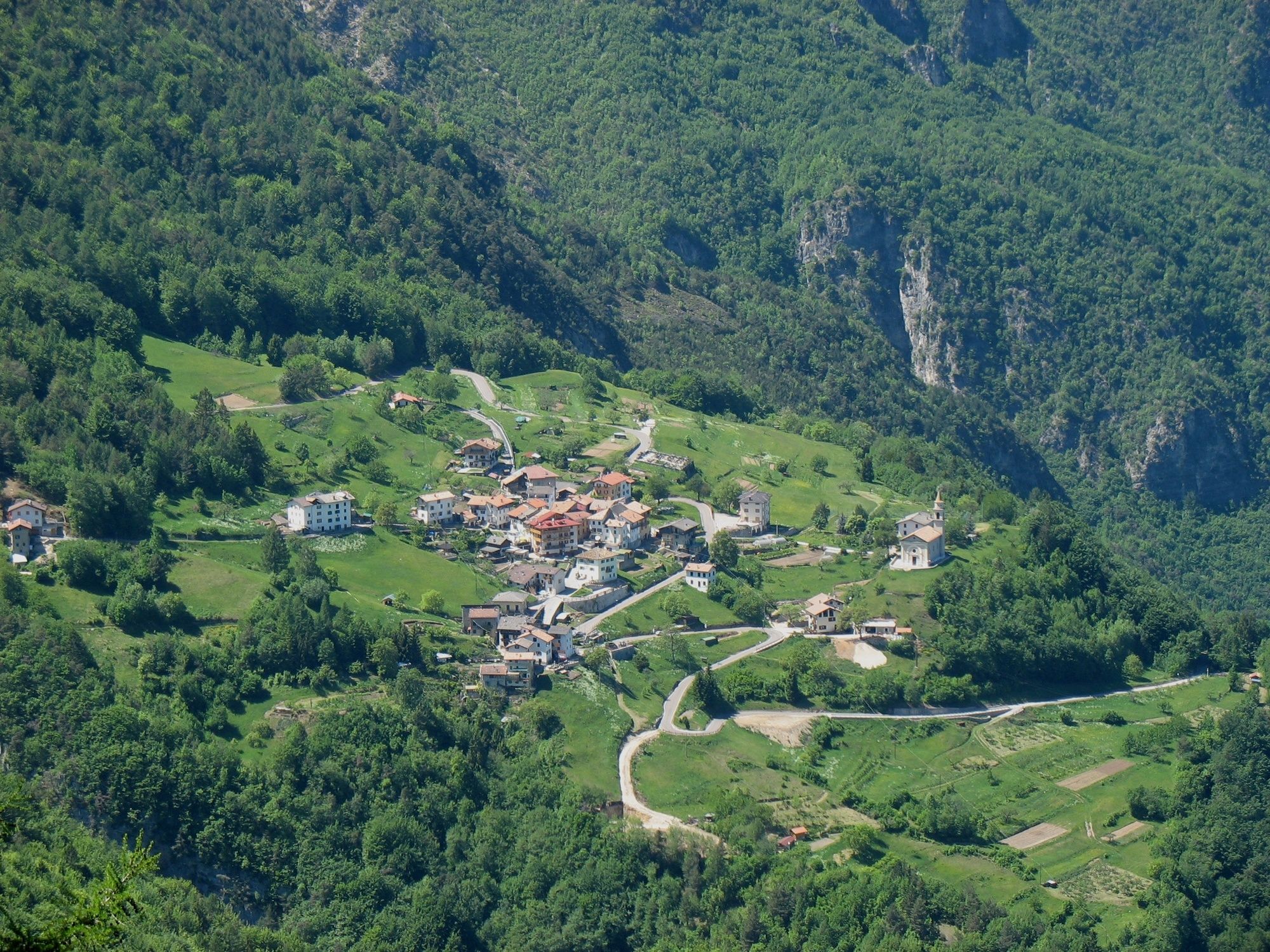
Folgaria
- Højdeprofil
-
 © outdooractive.com
- Forfatter
-
Rundvisningen 21 - Senter dela Gon bruges af outdooractive.com forudsat.
GPS Downloads


Generel information
Flora
Fauna
Lovende
Flere ture i regionerne