© Garda Trentino - Archivio Garda Trentino (Ph. Promovideo)

© Garda Trentino - Archivio Garda Trentino - Daniele Lira

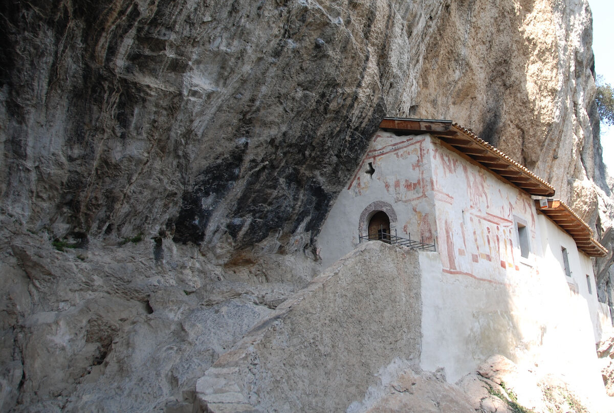
© North Lake Garda Trentino - Archivio Garda Trentino - Foto Promovideo

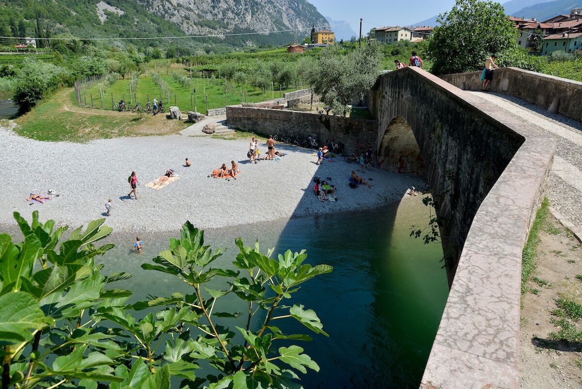
© Garda Trentino - Archivio Garda Trentino - Foto Patrizia N. Matteotti

- Kort beskrivelse
-
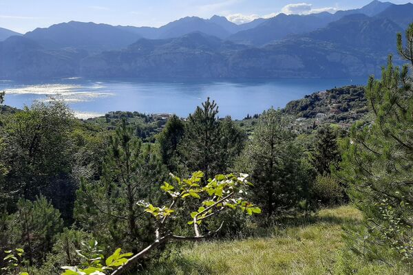
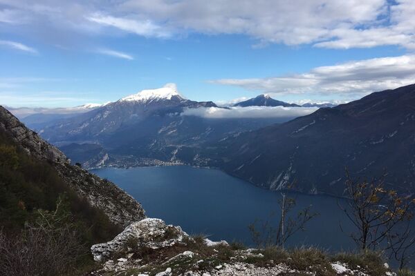
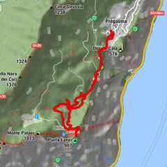
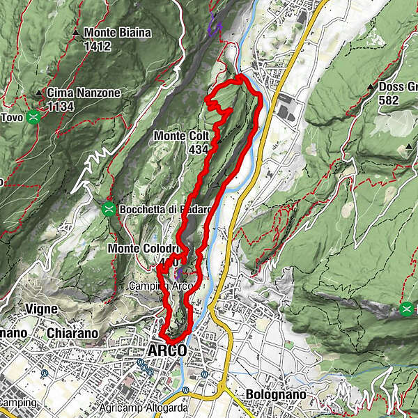
A hike along the Colodri and Colt ridges, natural balconies overlooking the Sarca Valley. Please note this trail is only for sure-footed experienced hikers!
- Sværhedsgrad
-
medium
- Evaluering
-
- Rute
-
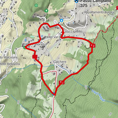
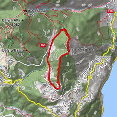
MognoChiesa di San Giuseppe0,0 kmArco0,3 kmSanta Maria di Laghel1,5 kmCave di Laghel (S.Maria)1,6 kmMonte Colodri (400 m)2,5 kmMonte Colt (434 m)4,3 kmCroce di Ceniga (390 m)4,8 kmCeniga6,2 kmLa Lanterna7,4 kmSeesons8,8 kmParco giochi Ristorante California8,9 kmPrabi9,0 kmSan Martino9,1 kmChiesa di Sant'Apollinare9,3 kmArco9,9 kmChiesa di San Giuseppe9,9 kmMogno9,9 km
- Bedste sæson
-
janfebmaraprmajjunjulaugsepoktnovdec
- Højeste punkt
- 422 m
- Destination
-
Centre - Arco
- Højdeprofil
-
 © outdooractive.com


-

-
ForfatterRundvisningen Monte Colodri - Colt bruges af outdooractive.com forudsat.
GPS Downloads


Generel information
Lovende
Flere ture i regionerne
-
Garda Trentino
664
-
Arco di Trento
284