© Garda Trentino - G.P. Calzà ©APT Garda Trentino

© Outdooractive – 3D Videos
© Garda Trentino - Archivio Garda Trentino

© ÖAV Alpenverein Innsbruck - Martin Mandler

© Garda Trentino - Stefania Oradini
© Garda Trentino - Stefania Oradini
© Garda Trentino - Stefania Oradini

- Kort beskrivelse
-
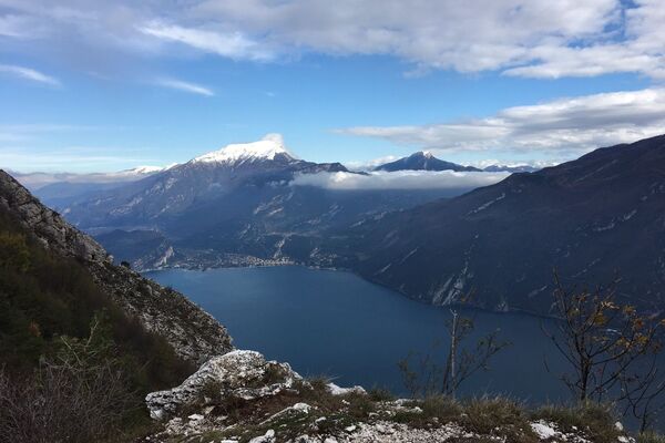
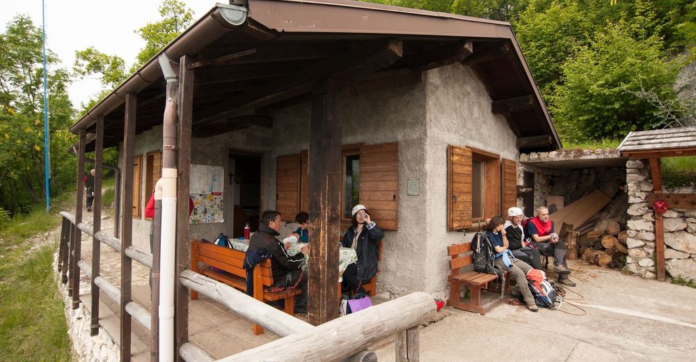
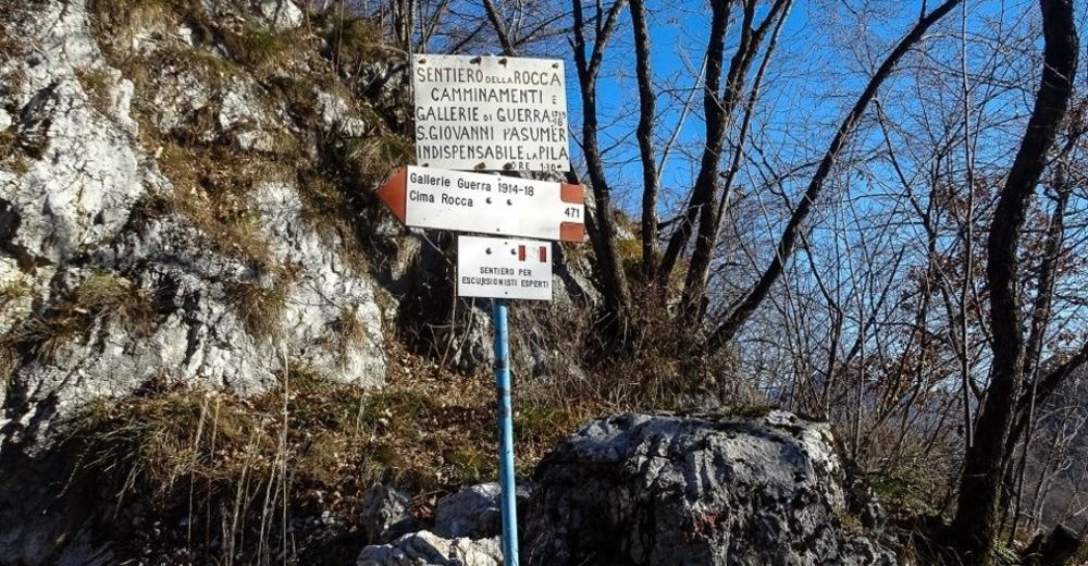
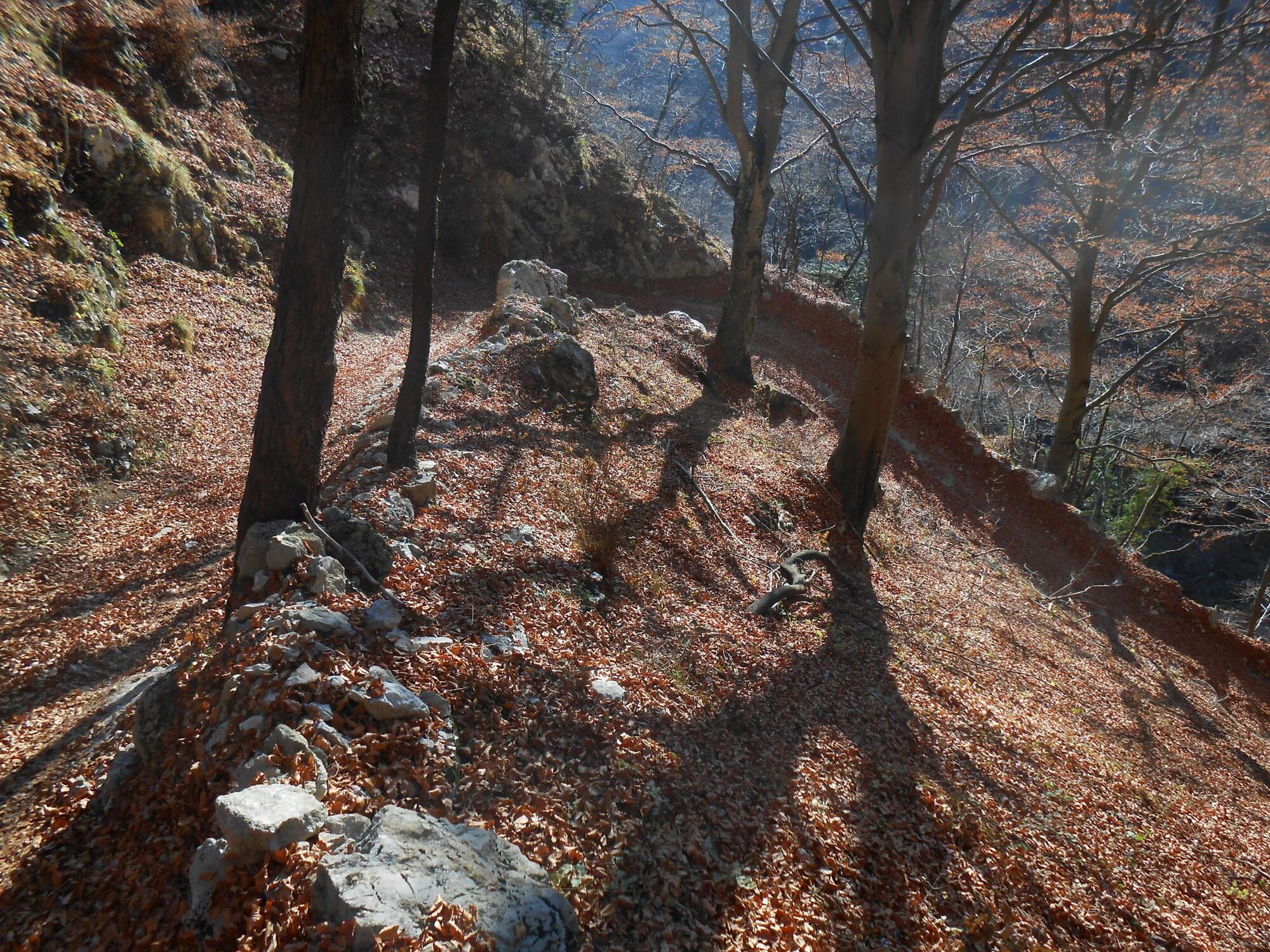
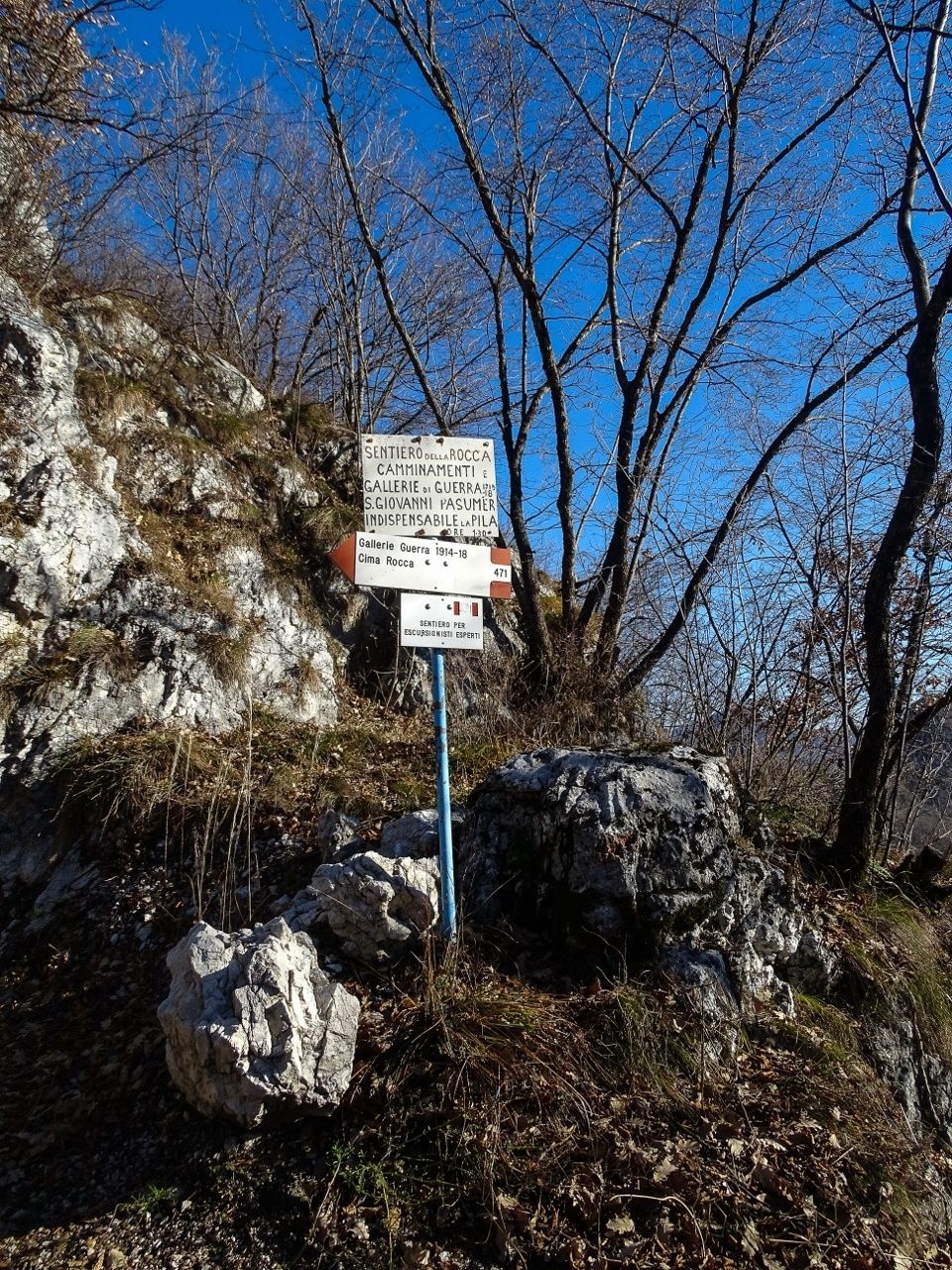
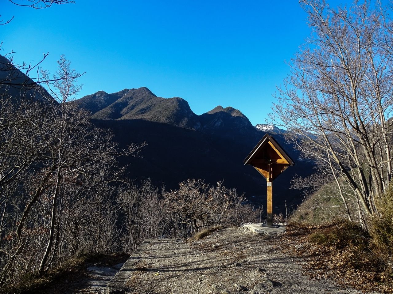
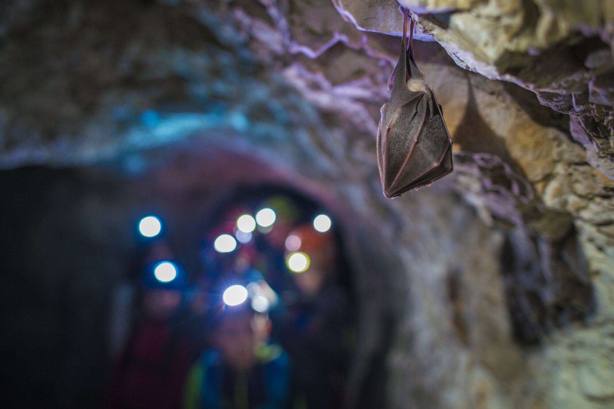
This trail is highly recommended for all history fans: a visit to the system of tunnels in Cima Rocca together with breathtaking views of Lake Garda
- Sværhedsgrad
-
tung
- Evaluering
-
- Rute
-
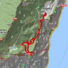
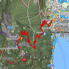
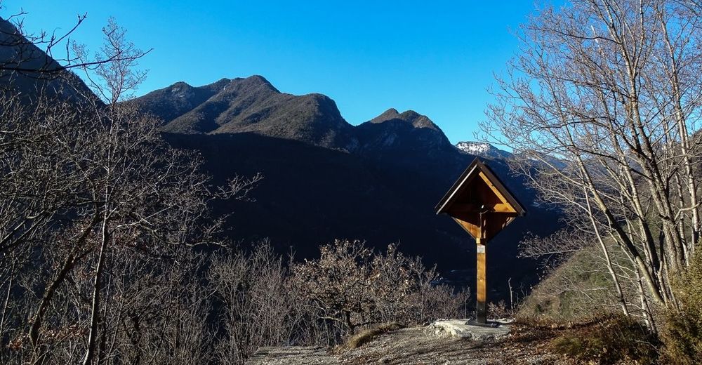
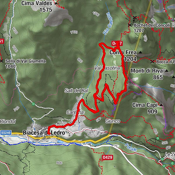
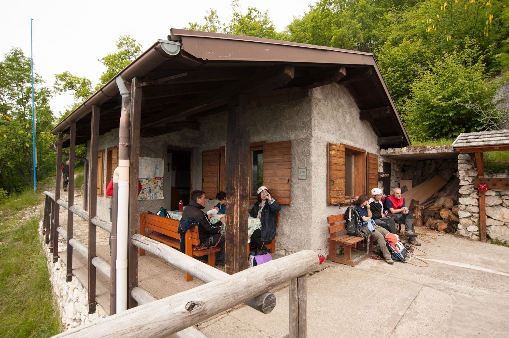
Biacesa di Ledro0,0 kmCaregna0,6 kmChiesa di San Giovanni Battista2,3 kmBivacco Arcioni2,4 kmCima Rocca (1.090 m)2,9 kmRiva del Garda3,7 kmCaregna6,0 kmBiacesa di Ledro6,6 km
- Bedste sæson
-
janfebmaraprmajjunjulaugsepoktnovdec
- Højeste punkt
- 988 m
- Destination
-
Cima Rocca
- Højdeprofil
-
 © outdooractive.com


-

-
ForfatterRundvisningen WWI: from S. Giovanni to Cima Rocca bruges af outdooractive.com forudsat.
GPS Downloads


Generel information
Kulturel/Historisk
Lovende
Flere ture i regionerne
-
Gardasee / Lombardei
433
-
Garda Trentino
663
-
Prè di Ledro
285