Turnédatoer
13,61km
1.389
- 2.417m
1.009hm
1.007hm
04:00h

- Kort beskrivelse
-
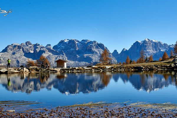
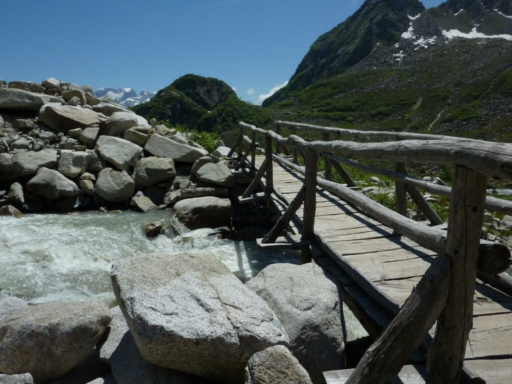
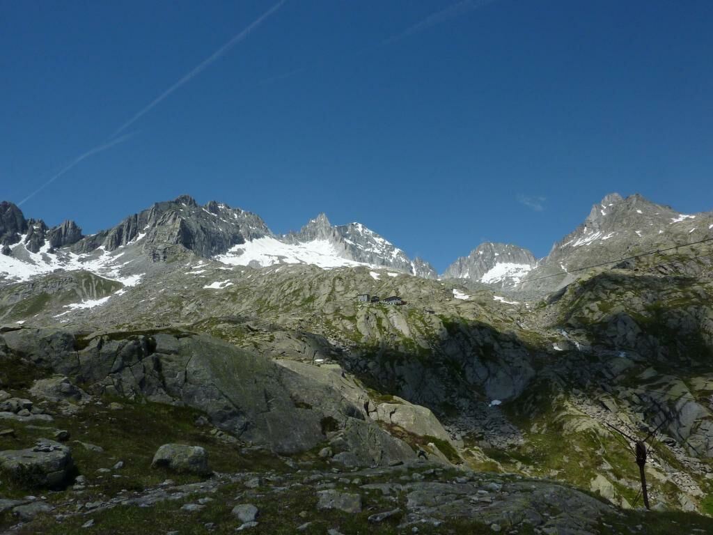
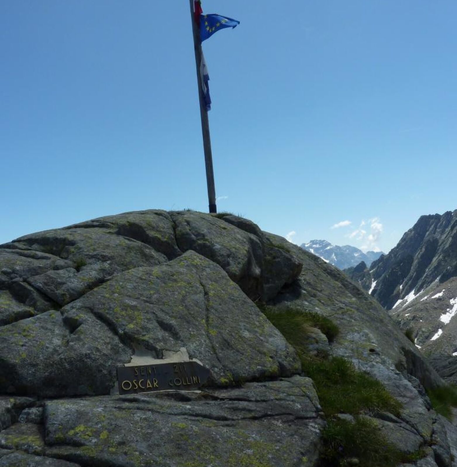
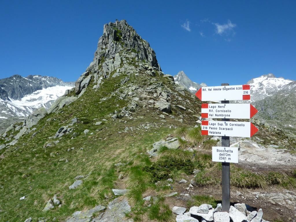
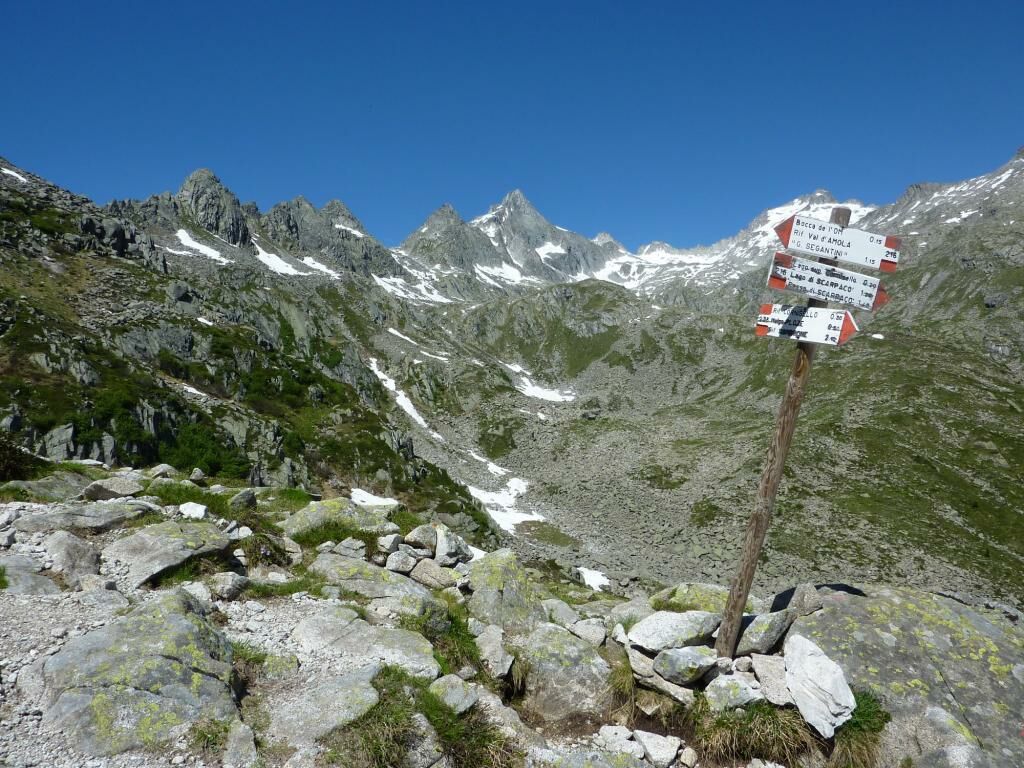
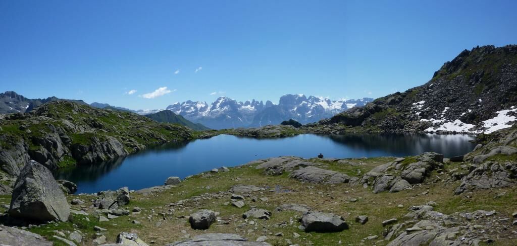
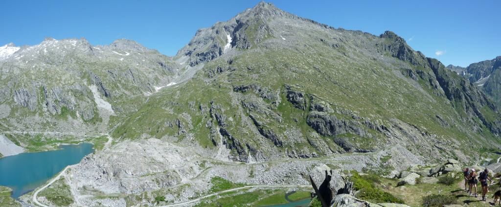
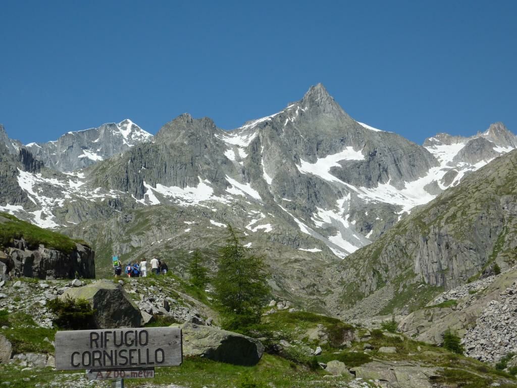
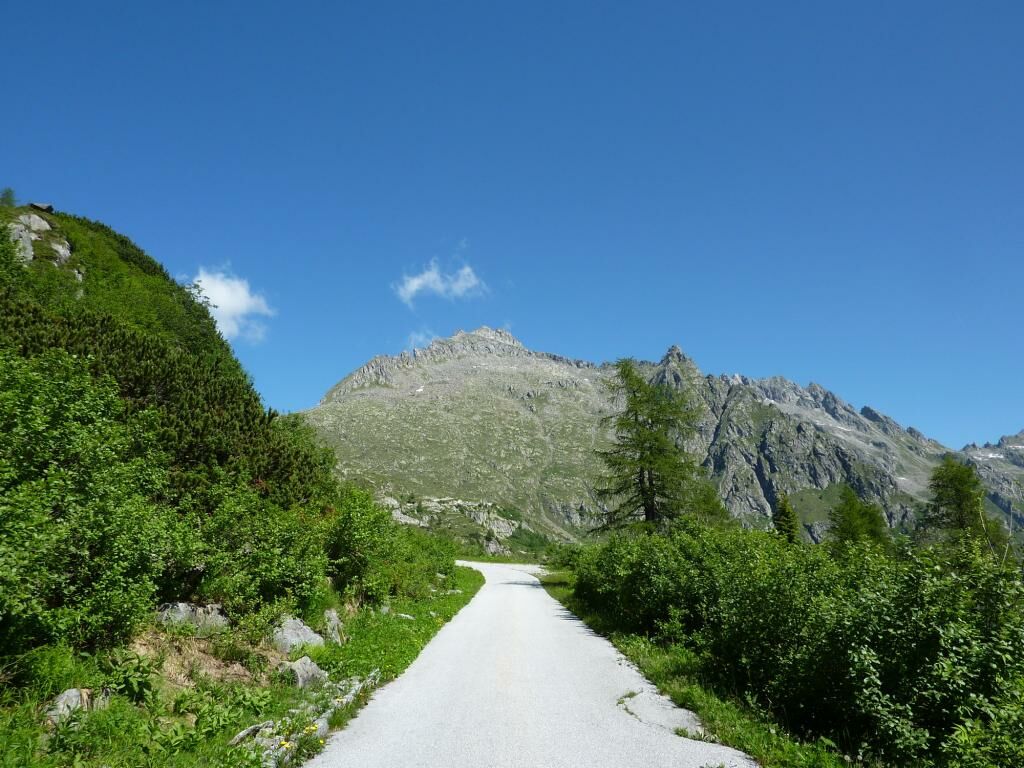
The Cornisello – Amola circular itinerary runs at the foot of the majestic east-facing slopes of the Presanella, Monte Nero and Cima Cornisello mountains. The beauty of this awe-inspiring scenery is further heightened by the marvellous Lago Nero, from which the Brenta Group seems to emerge, dominating the horizon to the east. The entire itinerary features breathtaking scenery, from the lakes of Cornisello to Monte Giner, the Presanella Massif, Lago Nero, the Quattro Cantoni, the small Segantini lakes, the Vedretta d’Amola and, as mentioned above, the Brenta Group, which shows its entire west flank.
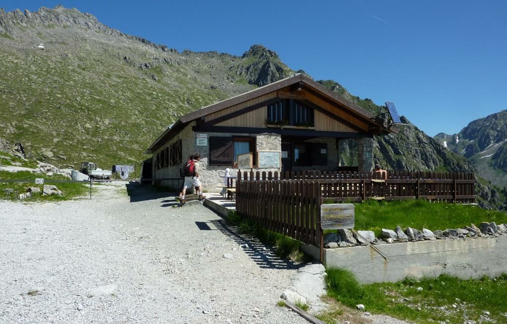
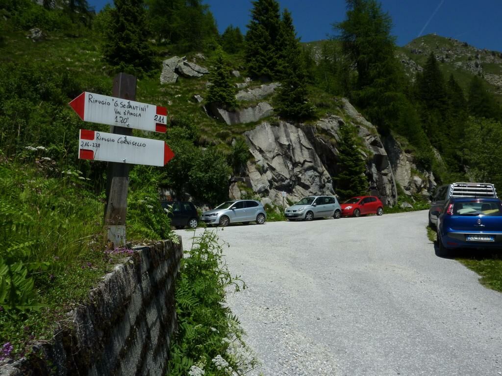
This evocative circular route also touches two suggestive mountain huts, Rifugio Cornisello and Rifugio Segantini, which are natural resting points. Overall, this is an unmissable trek to admire some of the best mountain scenery of Western Trentino, while at the same time enjoying an exciting excursion.
- Sværhedsgrad
-
medium
- Evaluering
-
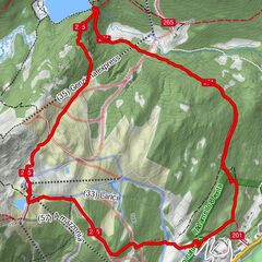
- Rute
-
Rifugio Cornisello6,7 kmPanorama di Piuccilla7,3 kmRifugio Segantini10,7 km
- Bedste sæson
-
janfebmaraprmajjunjulaugsepoktnovdec
- Højeste punkt
- 2.417 m
- Destination
-
circular route
- Højdeprofil
-
 © outdooractive.com


- Forfatter
-
Rundvisningen Trek ring to Cornisello – Amola bruges af outdooractive.com forudsat.