Turnédatoer
2,67km
1.737
- 1.864m
126hm
10hm
01:45h

- Kort beskrivelse
-
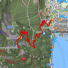
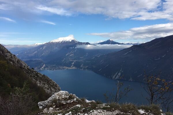
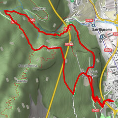
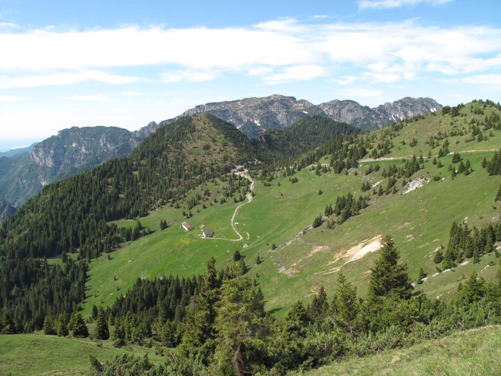
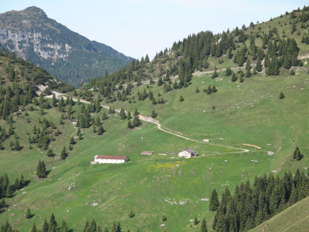
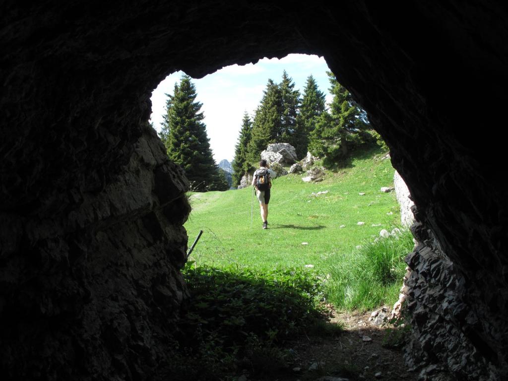
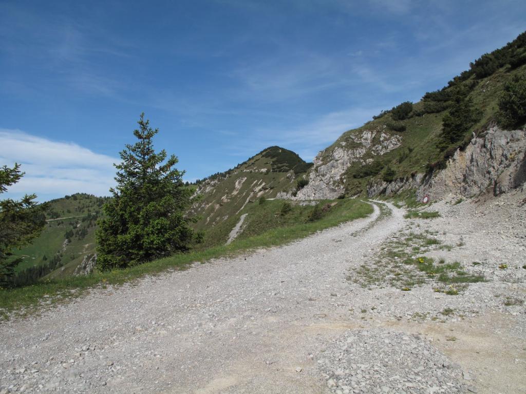
The itinerary leading to the beautiful Cima Avèz runs mostly on flat ground, except for the short ascent to the peak of Cima Avèz at the end. This makes it particularly suitable for families or hikers.
- Sværhedsgrad
-
let
- Evaluering
-
- Rute
-
Monte Lavino (1.837 m)0,6 kmCima Avèz (1.895 m)2,4 km
- Bedste sæson
-
janfebmaraprmajjunjulaugsepoktnovdec
- Højeste punkt
- 1.864 m
- Destination
-
Passo del Dil (1726 m)
- Højdeprofil
-
 © outdooractive.com

- Forfatter
-
Rundvisningen Cima Avèz bruges af outdooractive.com forudsat.
GPS Downloads


Flere ture i regionerne
-
Gardasee / Lombardei
437
-
Valle di Ledro
567
-
Tiarno di Sopra
170