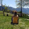
© Madonna di Campiglio Azienda per il Turismo - Paolo Bisti

© Madonna di Campiglio Azienda per il Turismo - Daniele Lira

© Madonna di Campiglio Azienda per il Turismo - Federico Modica

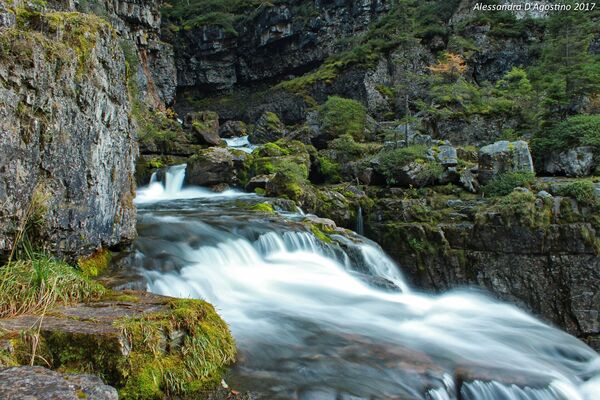
© Madonna di Campiglio Azienda per il Turismo - Alessandra D'Agostino

© Madonna di Campiglio Azienda per il Turismo - Alessandra D'Agostino

- Kort beskrivelse
-
A family-friendly walking trail along the path that, alongside the Sarca river, leads to the discovery of the hidden waterfalls in Val Genova.
- Sværhedsgrad
-
medium
- Evaluering
-
- Rute
-
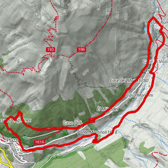
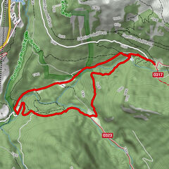
Albergo Cascata di Nardis0,0 kmCascata del Lares Alta4,7 kmCascata di Lares Bassa4,7 kmCascate Nardis9,4 kmAlbergo Cascata di Nardis9,5 km
- Bedste sæson
-
janfebmaraprmajjunjulaugsepoktnovdec
- Højeste punkt
- 1.239 m
- Destination
-
Nardis Falls, Val Genova
- Højdeprofil
-
 © outdooractive.com


-
-
ForfatterRundvisningen Cascate Nardis, Val Genova the valley of waterfalls bruges af outdooractive.com forudsat.
GPS Downloads


Generel information
Flora
Fauna
Flere ture i regionerne