- Kort beskrivelse
-
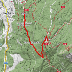
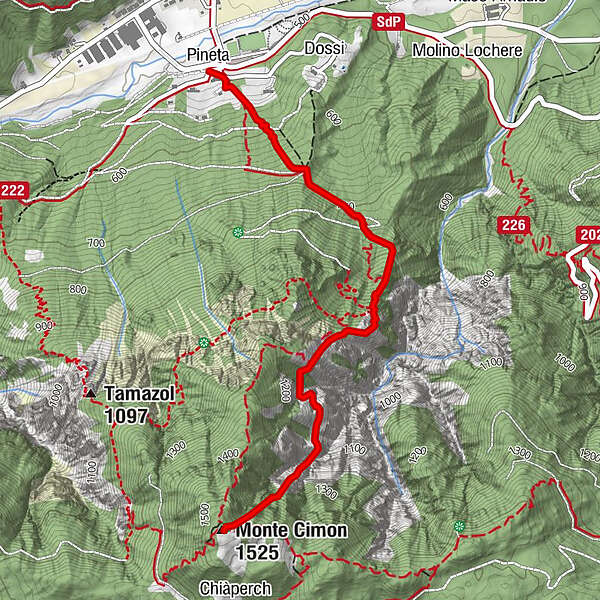
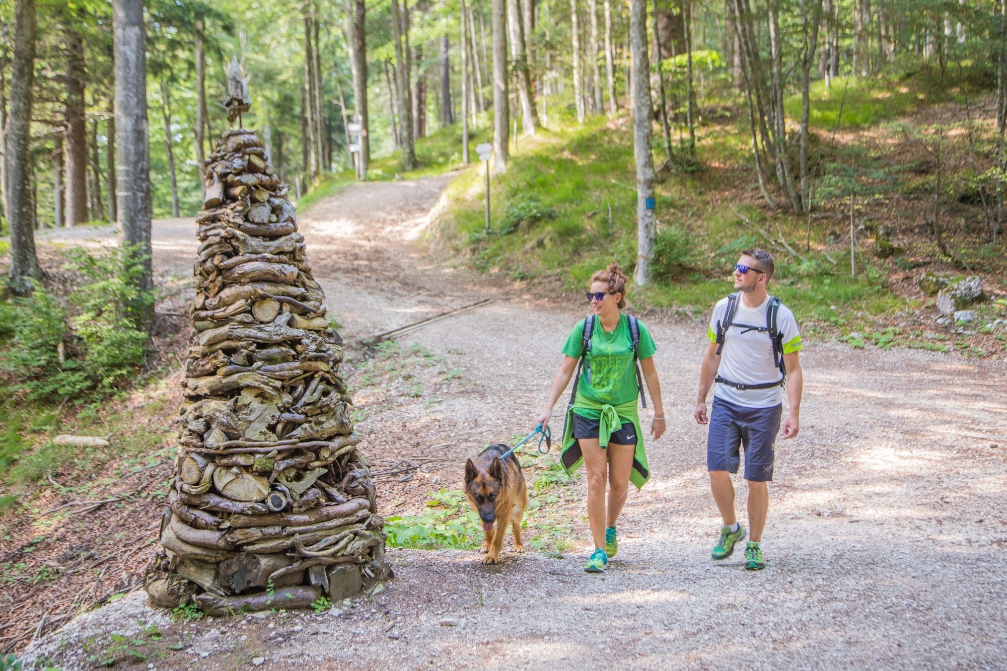
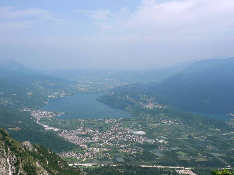
An interesting but long and strenuous path climbs from Caldonazzo up to Mount Cimone, scaling the rugged and wooded northern slope of the rise. It is locally known as the Via dei Piani, but the flat sections are few and short. In the middle part of the route there are spectacular panoramic views of the lakes of Caldonazzo and Levico and of Alta Valsugana. It is advisable to combine the hike by following the SAT 222 Tamazòl trail uphill and the Sentiero dei Piani trail downhill.
- Sværhedsgrad
-
tung
- Evaluering
-
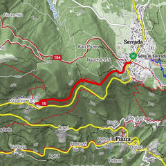
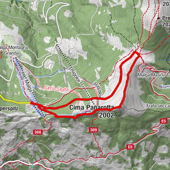
- Rute
-
PinetaLa Pineta0,0 kmMonte Cimon (1.525 m)3,2 km
- Bedste sæson
-
janfebmaraprmajjunjulaugsepoktnovdec
- Højeste punkt
- 1.517 m
- Destination
-
Monte Cimone
- Højdeprofil
-
 © outdooractive.com

- Forfatter
-
Rundvisningen SAT / E225 - Sentiero dei Piani bruges af outdooractive.com forudsat.
GPS Downloads


Generel information
Flora
Fauna
Lovende
Flere ture i regionerne