- Kort beskrivelse
-
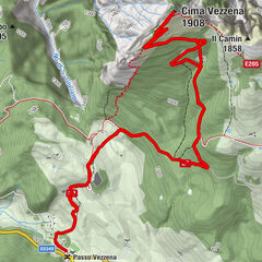
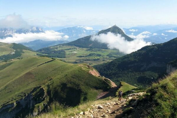
This is a long and pleasant, albeit demanding, route that climbs from the Carbonare saddle to the heights of Forte Cherle. It then continues to the wooded Durer high ground. It then comes out into the open, arriving at Passo Coe and ascending Mount Maggio to finally descend to Passo della Bórcola. The entire route is part of the European Path - E5 and the Peace Trail.
- Sværhedsgrad
-
tung
- Evaluering
-
- Rute
-
Carbonare0,0 kmHotel Forte Cherle3,9 kmLa Stua10,1 kmMonte Maggio (1.852 m)13,5 kmCoston dei Laghi (1.873 m)14,6 kmBorcoletta (1.744 m)15,7 kmMonte Borcoletta (1.759 m)15,7 km
- Bedste sæson
-
janfebmaraprmajjunjulaugsepoktnovdec
- Højeste punkt
- 1.832 m
- Destination
-
Passo della Borcola
- Højdeprofil
-
 © outdooractive.com


- Forfatter
-
Rundvisningen SAT / E124 - Carbonare - Monte Maggio - P. Borcola bruges af outdooractive.com forudsat.
GPS Downloads


Generel information
Lovende
Flere ture i regionerne