© APT - Valsugana e Lagorai - Omar Ropelato
© APT - Valsugana e Lagorai - Stefano Petri (da Wikimedia)
© APT - Valsugana e Lagorai - Stefano Petri (commons.wikimedia.org)
© APT - Valsugana e Lagorai - Stefano Petri (commons.wikimedia.org)

- Kort beskrivelse
-
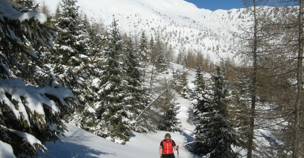
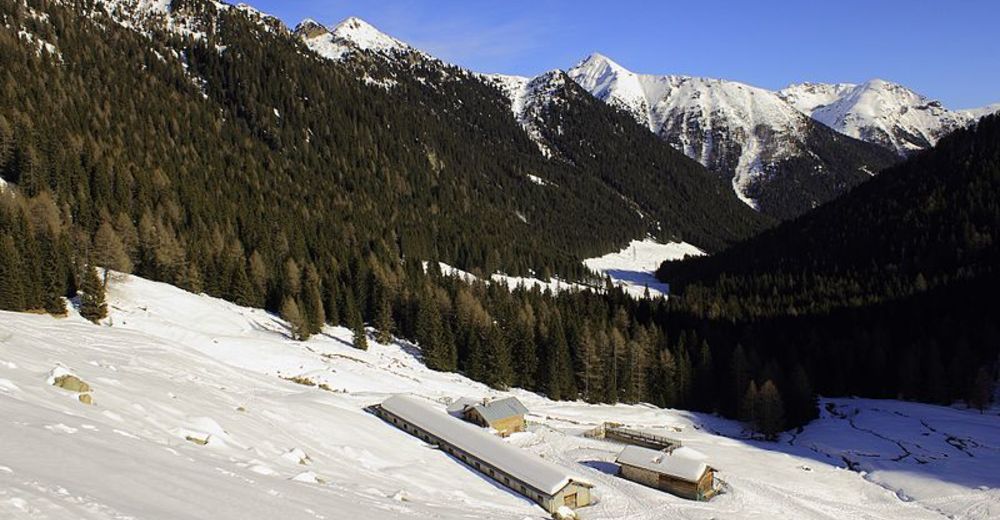
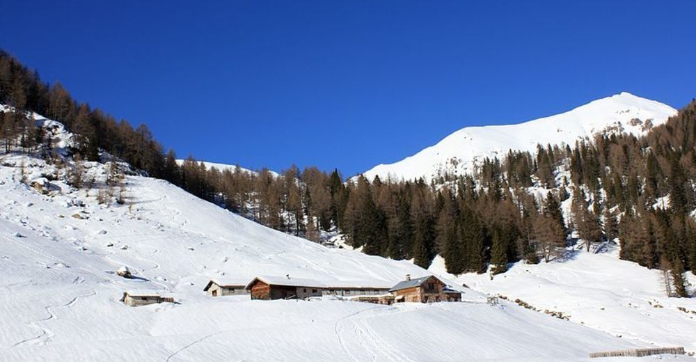
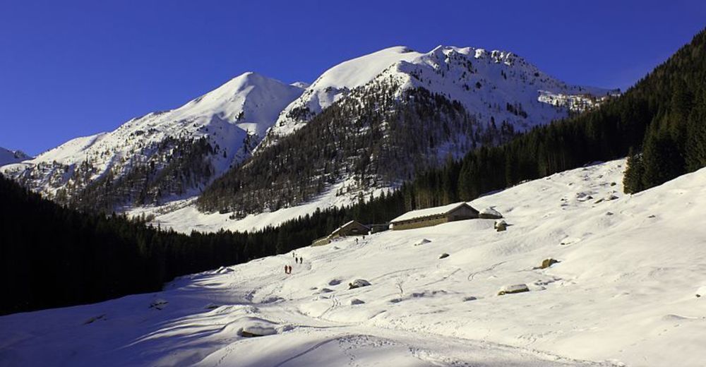
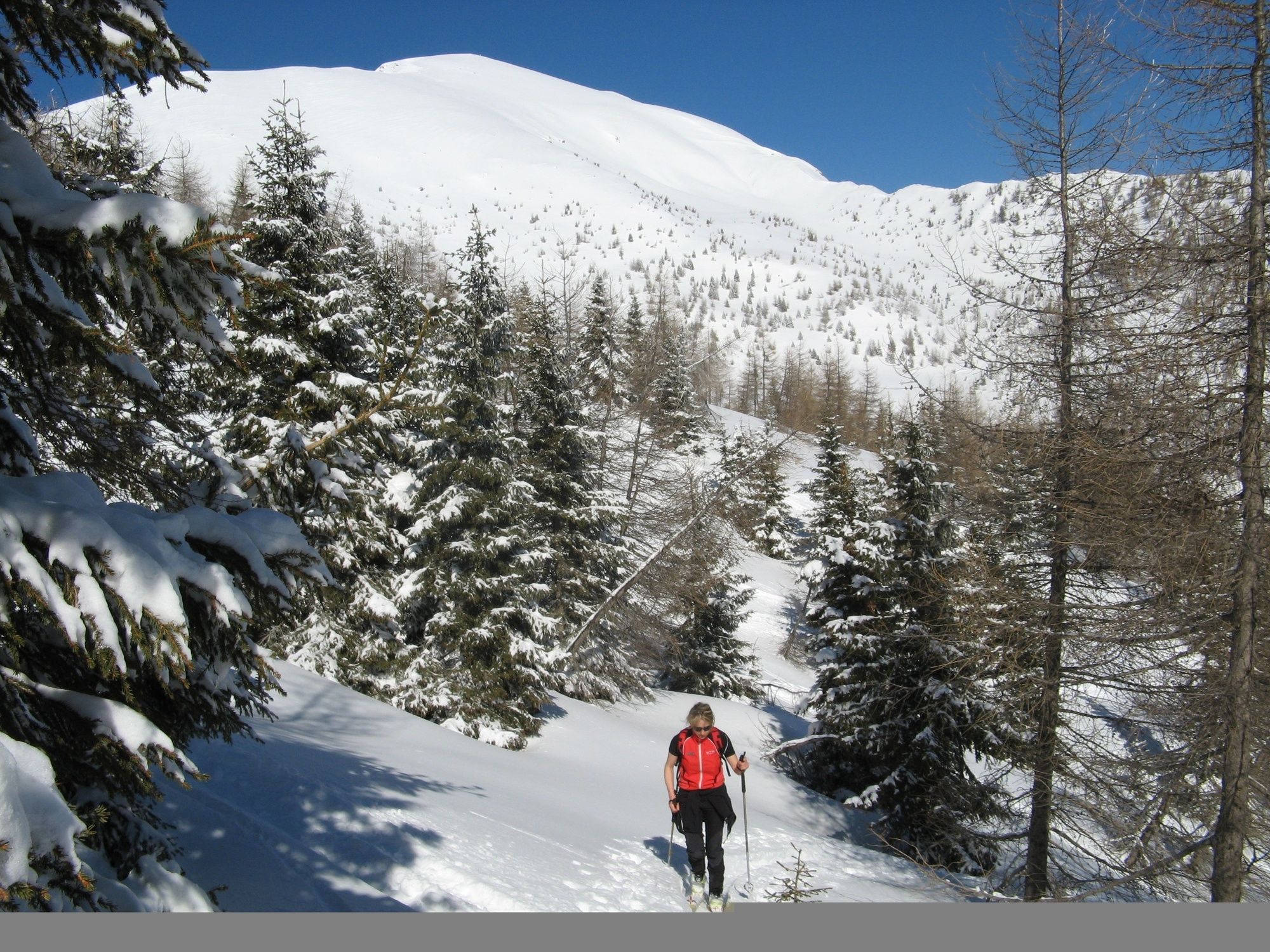
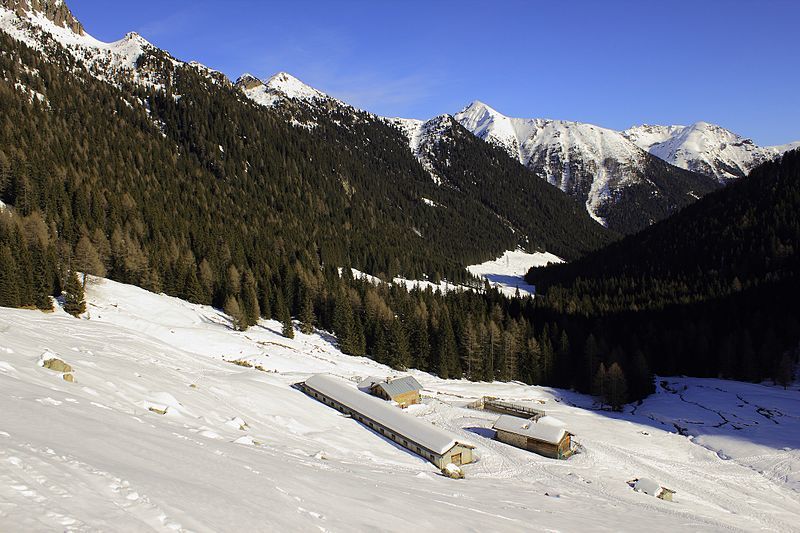
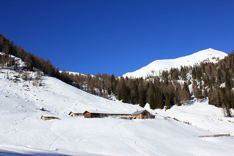
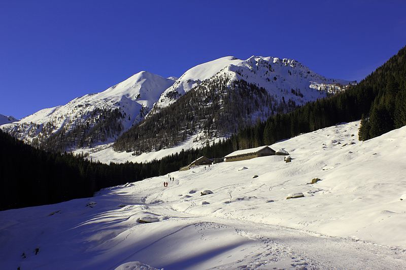
The woods that frame the road that crosses Val Cagnon, become a fairy tale-like scenario when the it starts snowing. This itinerary is feasible both with snowshoes and skis and isn’t difficult, given the gentle incline of the whole path.
- Sværhedsgrad
-
let
- Evaluering
-
- Rute
-
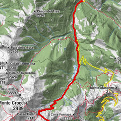
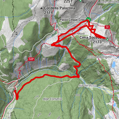
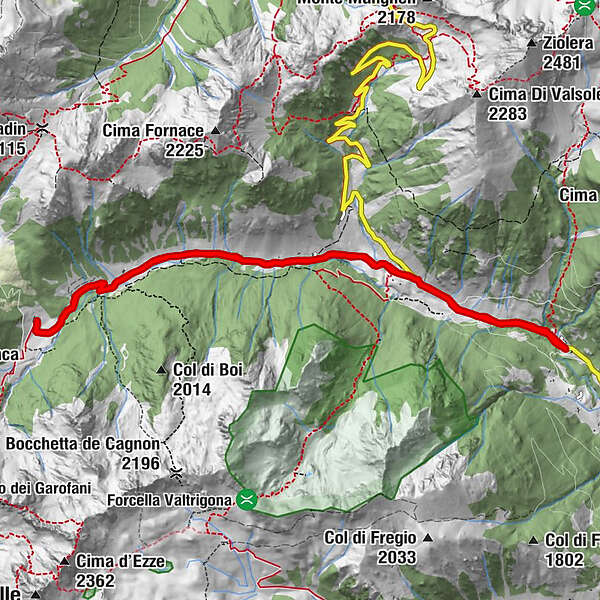
Malga Baessa0,0 kmBaessa (1.310 m)0,0 kmValtrighetta1,5 kmMalga Cagnon di Sotto5,5 kmMalga Baessa11,0 kmBaessa (1.310 m)11,0 km
- Bedste sæson
-
augsepoktnovdecjanfebmaraprmajjunjul
- Højeste punkt
- 1.712 m
- Destination
-
Malga Baessa parking lot
- Exposition
- Højdeprofil
-
 © outdooractive.com
-
-
ForfatterRundvisningen Back-country skiing - Malga Cagnon bruges af outdooractive.com forudsat.
GPS Downloads


Generel information
Lovende
Flere ture i regionerne