© APT - Val di Non - Silvia Gentilini

© APT - Val di Non - Silvia Gentilini

© APT - Val di Non - Silvia Gentilini

© APT - Val di Non - Silvia Gentilini
© APT - Val di Non - Silvia Gentilini

© APT - Val di Non - Silvia Gentilini

- Kort beskrivelse
-
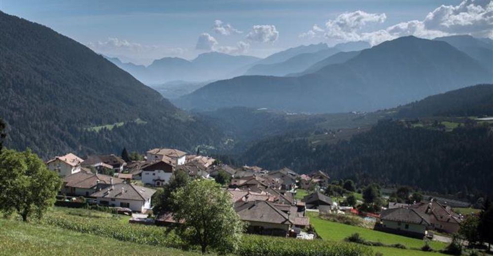
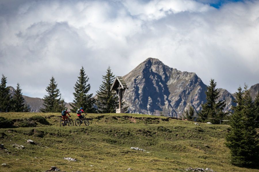
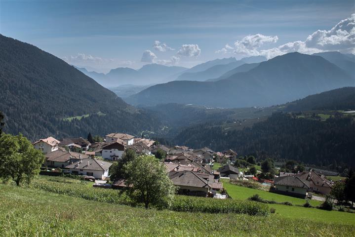
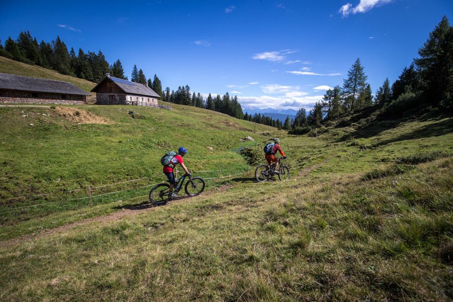
Itinerario con andata in quota nella catena delle Maddalene e ritorno tra boschi e piccoli paesi poco conosciuti al turismo di massa.
- Sværhedsgrad
-
medium
- Evaluering
-
- Rute
-
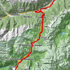
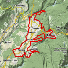
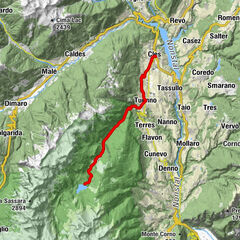
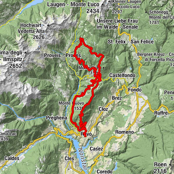
Revò0,1 kmDoss Ciaslir (1.512 m)6,3 kmMonte Ozol (1.566 m)7,0 kmLaureiner Alm20,7 kmEggern30,3 kmPertmern33,3 kmAußern33,4 kmMiauner34,9 kmTregiovo36,9 kmRevò45,3 km
- Bedste sæson
-
janfebmaraprmajjunjulaugsepoktnovdec
- Højeste punkt
- 1.887 m
- Destination
-
Revò
- Højdeprofil
-
 © outdooractive.com


- Forfatter
-
Rundvisningen Monte Ozol e Monte Ori tra Trentino e Alto Adige bruges af outdooractive.com forudsat.
GPS Downloads


Generel information
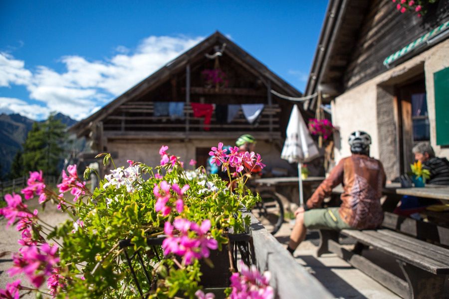
Forfriskningsstop
Kulturel/Historisk
Flere ture i regionerne